A LOCAL FIELD GUIDE

Hiking around Prince George

Find a walk close to home, a waterfall, or a day in the mountains.

Places to go

281 to 290 of 324 places · 318 on the map

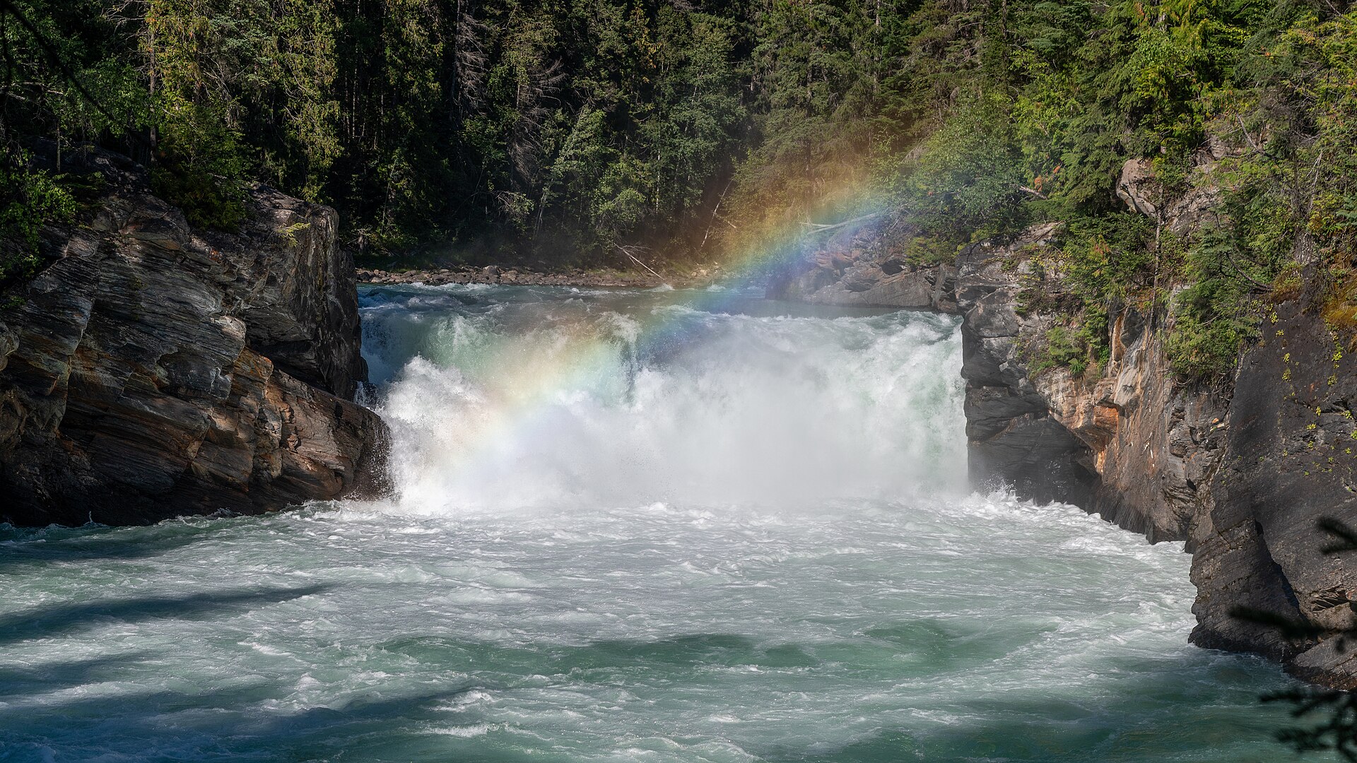
Overlander Falls in British Columbia
Photo creditOverlander Falls, BC, Canada (54881430869).jpg · Christoph Strässler from Oberdorf BL, Schweiz · CC BY-SA 4.0 · Photographed Aug 22, 2025 · Wikimedia thumbnail downloaded; Wikimedia resized the original. Display may crop the view. Any adapted CC BY-SA version retains that image license.

Valemount / Mount Robson

Overlander Falls riverside route

4.6 AllTrails

Fraser-side walk past Hogan's Cabin toward falls.

About 3 hr 54 min from PG5 km · round trip36 m gainAbout 2 hours return
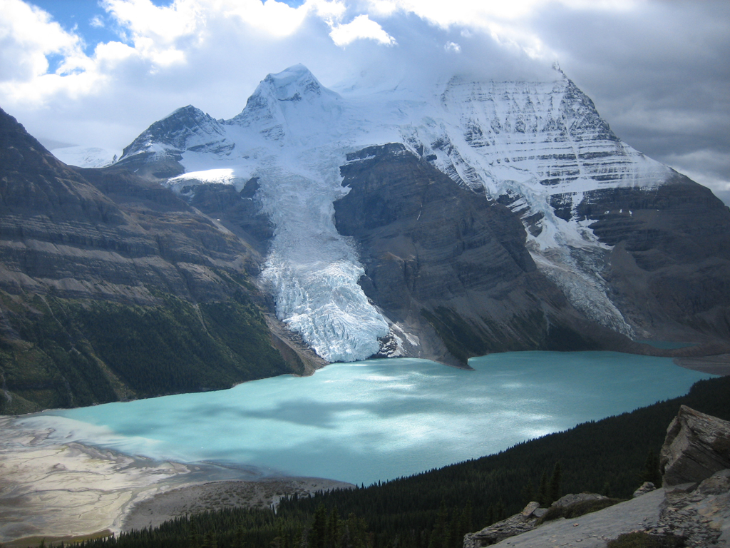
Berg Lake from the Mumm Basin Trail
Photo creditBerg Lake Canadian Rockies.jpg · Olivier.pilot at English Wikipedia · Public domain · Photographed 2005 · Original image downloaded without editing; display may crop the view.

Mount Robson

Mumm Basin Route

4.4 AllTrails

This alpine route above Berg Lake crosses shale and rocky ground with views toward the Robson Glacier and Adolphus Lake. A 2025 report describes…

7 km · loop450 m gain3½–5 hours

Valemount / Mount Robson

Mount Trudeau meadows

Steep path enters wet meadow with lake and waterfall.

About 4 hr 50 min from PG6.4 km · round trip425 m gain3–5 hours return
Overlander Falls in British Columbia
Photo creditOverlander Falls, BC, Canada (54881430869).jpg · Christoph Strässler from Oberdorf BL, Schweiz · CC BY-SA 4.0 · Photographed Aug 22, 2025 · Wikimedia thumbnail downloaded; Wikimedia resized the original. Display may crop the view. Any adapted CC BY-SA version retains that image license.

Valemount / Mount Robson

Overlander Falls short route

4.6 AllTrails

Short descent to waterfall viewpoint.

About 3 hr 55 min from PG0.6 km · round trip46 m gainAbout 45 minutes return

Valemount

Mount Terry Fox

4.7 AllTrails

Original ridge route reaches radio tower then branches toward summit and monument; do not combine old and new approach metrics.

18 km · round trip1,740 m gain10 hours

Valemount / Mount Robson

Teepee Creek lake

4.6 AllTrails

Teepee drainage routes split toward lake and Big Rock/summit.

12 km · round trip840 m gain5–6 hours return

Valemount / Mount Robson

Terry Fox peak via Big Rock

Teepee drainage routes split toward lake and Big Rock/summit.

16.5 km · round trip1,450 m gain8–10 hours return
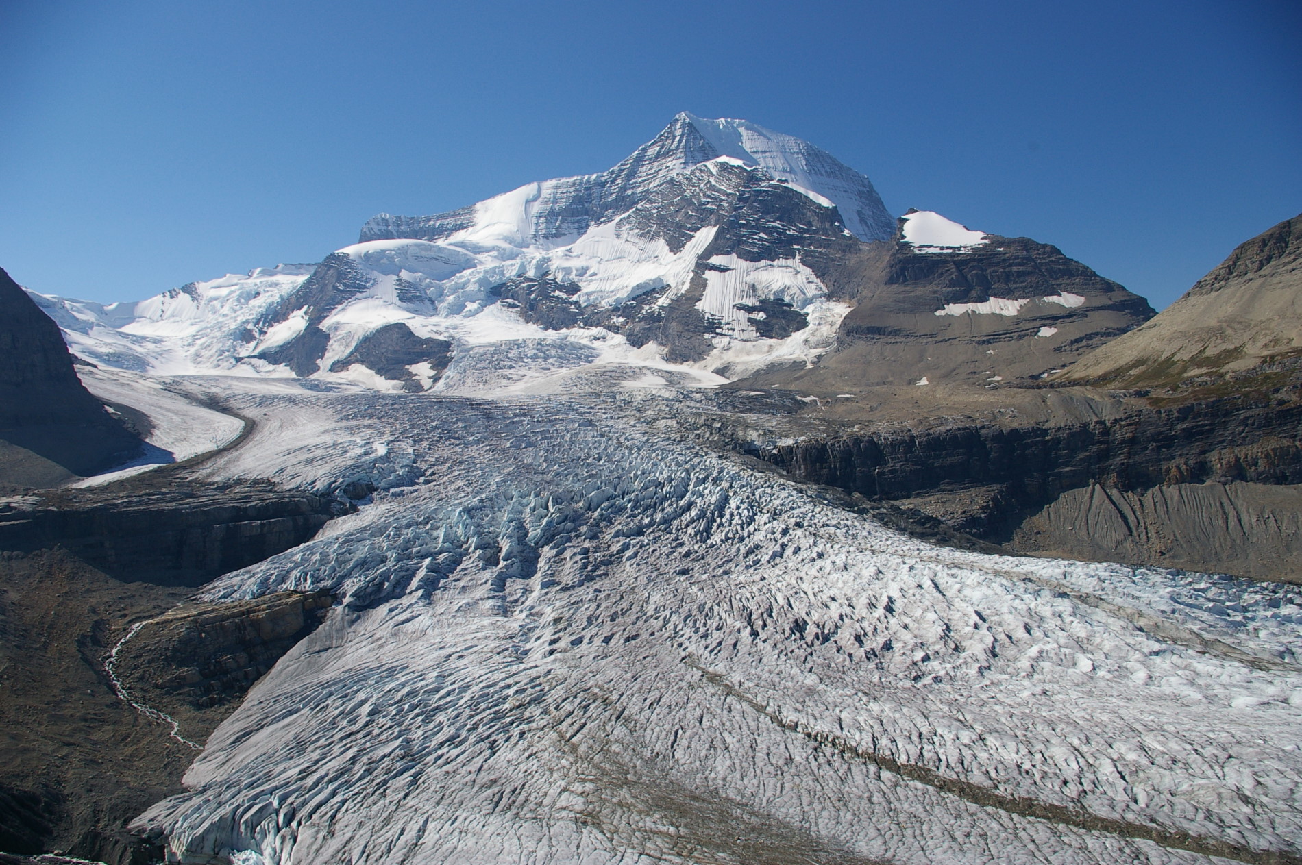
Mount Robson and Robson Glacier from the Snowbird Pass route
Photo creditMount Robson and the Robson Glacier.jpg · Brilang (talk) · CC BY-SA 2.0 · Photographed Sep 3, 2006 · Original image downloaded without editing; display may crop the view. Any adapted CC BY-SA version retains that image license.

Mount Robson

Snowbird Pass Route

4.8 AllTrails

From the upper Berg Lake corridor, climb past views of the Robson Glacier through meadows and rocky terrain to Snowbird Pass. This long return…

About 4 hr from PG21 km · round trip785 m gain7–9 hours