A full-route elevation profile is not available yet. The mapped paths have not been verified as one continuous outing.
Choose a specific route where available. Individual map fragments are not shown as separate hike stages.
More maps & trail files
AllTrails map
Berg Lake outing on AllTrails
The hosted map shows approximately 39.4 km return to Berg Lake, shorter than a full Robson Pass return. Rebuilt trail distances, permits and closures must come from current BC Parks information.
A separate approximately 47.3 km return continuing past Berg Lake toward Adolphus Lake. Confirm camping permits, park boundaries and the final turnaround before using this longer route.
Mapped trail network. The source includes the Berg Lake corridor. Sections tagged inaccessible are omitted and remaining gaps are not connected. The Robson Pass extension is not established by this geometry; follow current BC Parks reroutes. Source sections tagged as inaccessible are omitted; any resulting gaps are intentional. Line source (opens original source).
From Highway 16 at Mount Robson, follow Kinney Lake Road to its end and the Berg Lake trailhead.
Parking: The road-access trailhead is at the end of Kinney Lake Road near the Mount Robson Welcome Centre. Upper-corridor camps and viewpoints cannot be reached by car.
Full access notes
From Highway 16, turn into the signed Mount Robson park entrance near the Welcome Centre and follow Kinney Lake Road about 2.3 km to the road-end Berg Lake Trail parking. This is the vehicle access for the whole Berg Lake corridor. The waterfall and upper-basin destinations have no separate road approach.
Estimated drive from Prince George: 4 hr 0 min · 290.7 km. Modeled one-way driving time from Prince George City Hall, using mapped road speeds. Forest-road sections can take substantially longer: surface, clearance, radio procedures, gates, washouts, plowing, and legal access are not verified by the router. No live traffic or invented forest-road multiplier is included. Allow extra time and check the dated access notes.
Trail access · 53.05050, -119.21488. Named point on source trip map; position and feature type retained as factual observations. Location source (opens original source)
On the trail
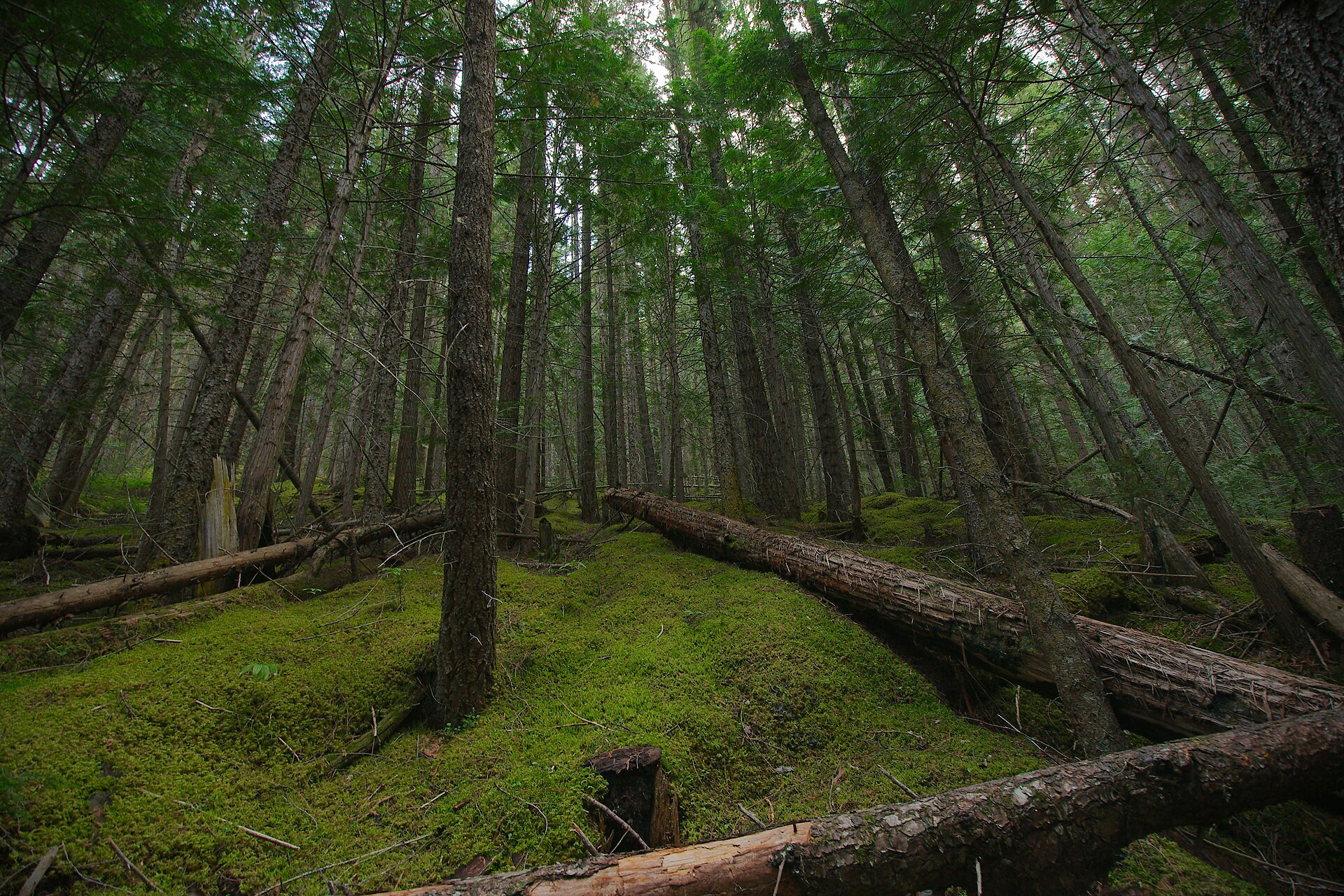
Follow the Robson River approach to Kinney Lake and continue along the lake toward its campground.
Continue beyond Kinney Lake toward Whitehorn, using the currently open signed path across or above the flats.
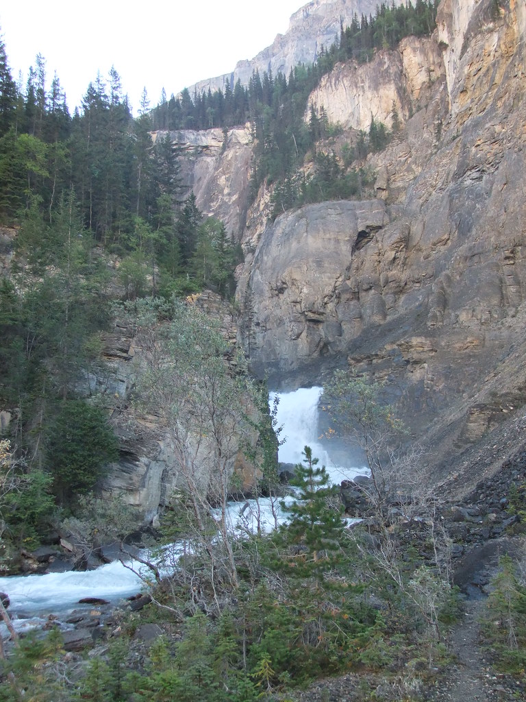
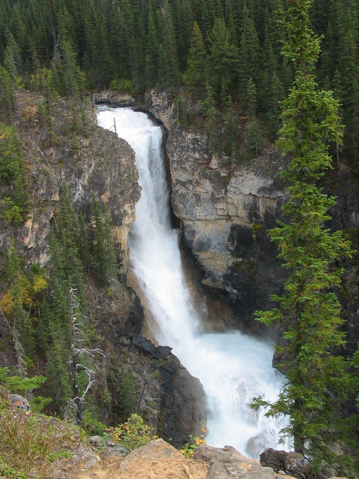
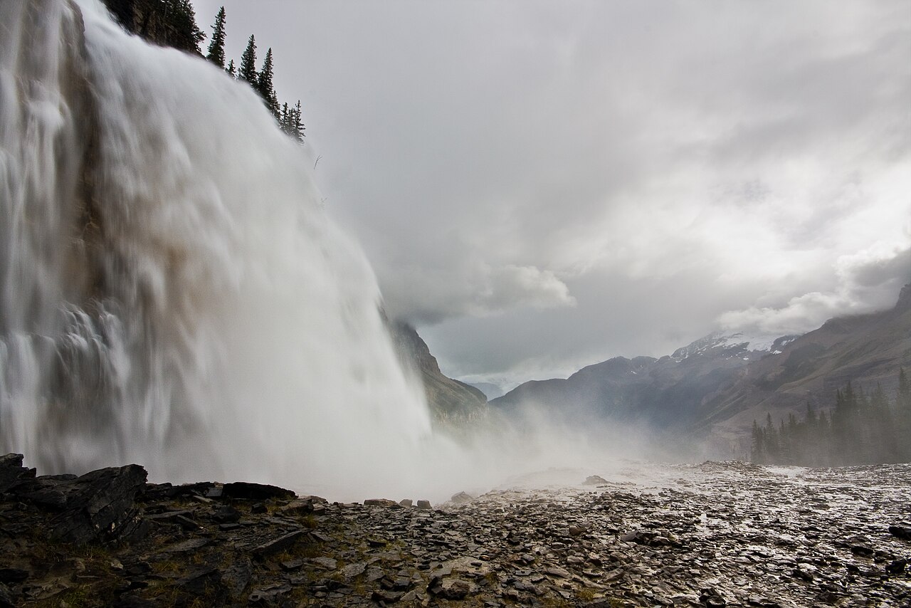
Above Whitehorn, cross the rebuilt bridges into the waterfall valley and climb the steep section past White Falls and the Emperor Falls junction.
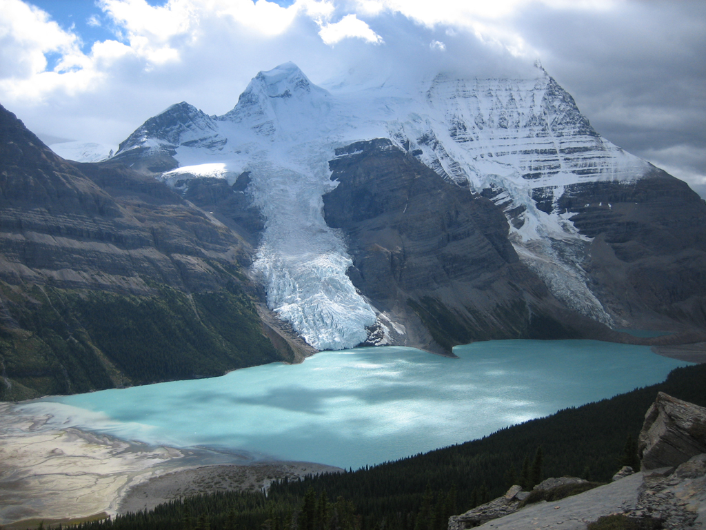
Past Emperor Falls campground, the grade eases toward Marmot and the Berg Lake shore. The rebuilt approach includes an uneven boulder section.
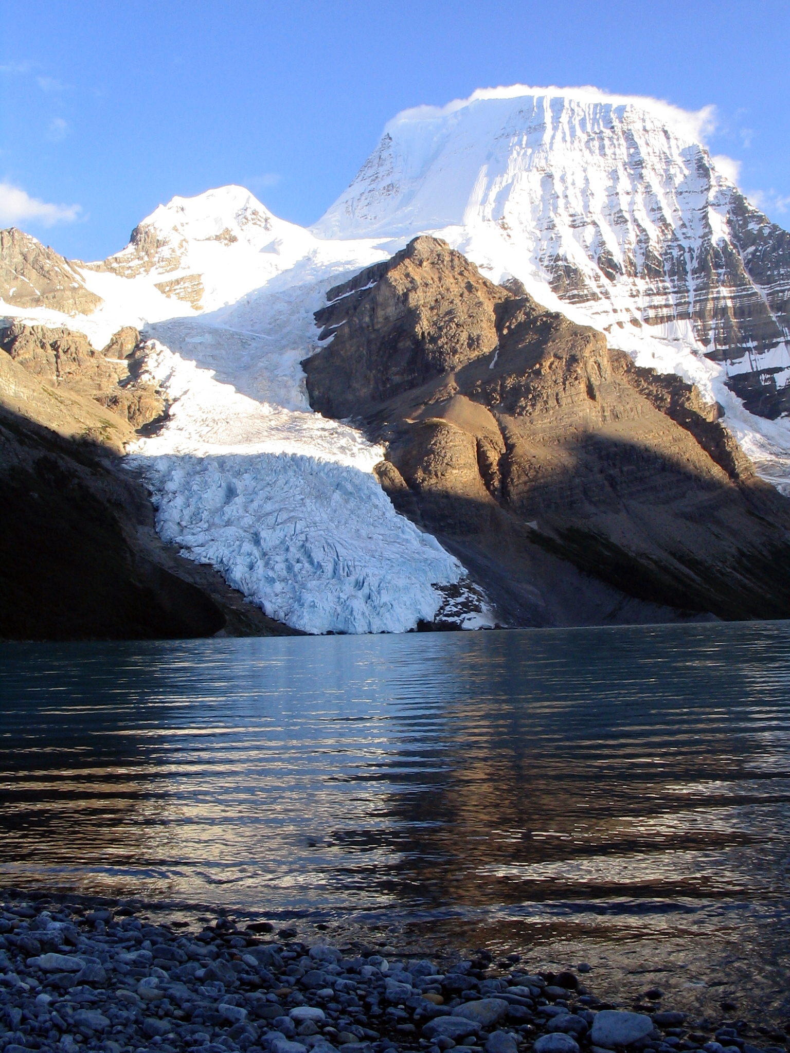
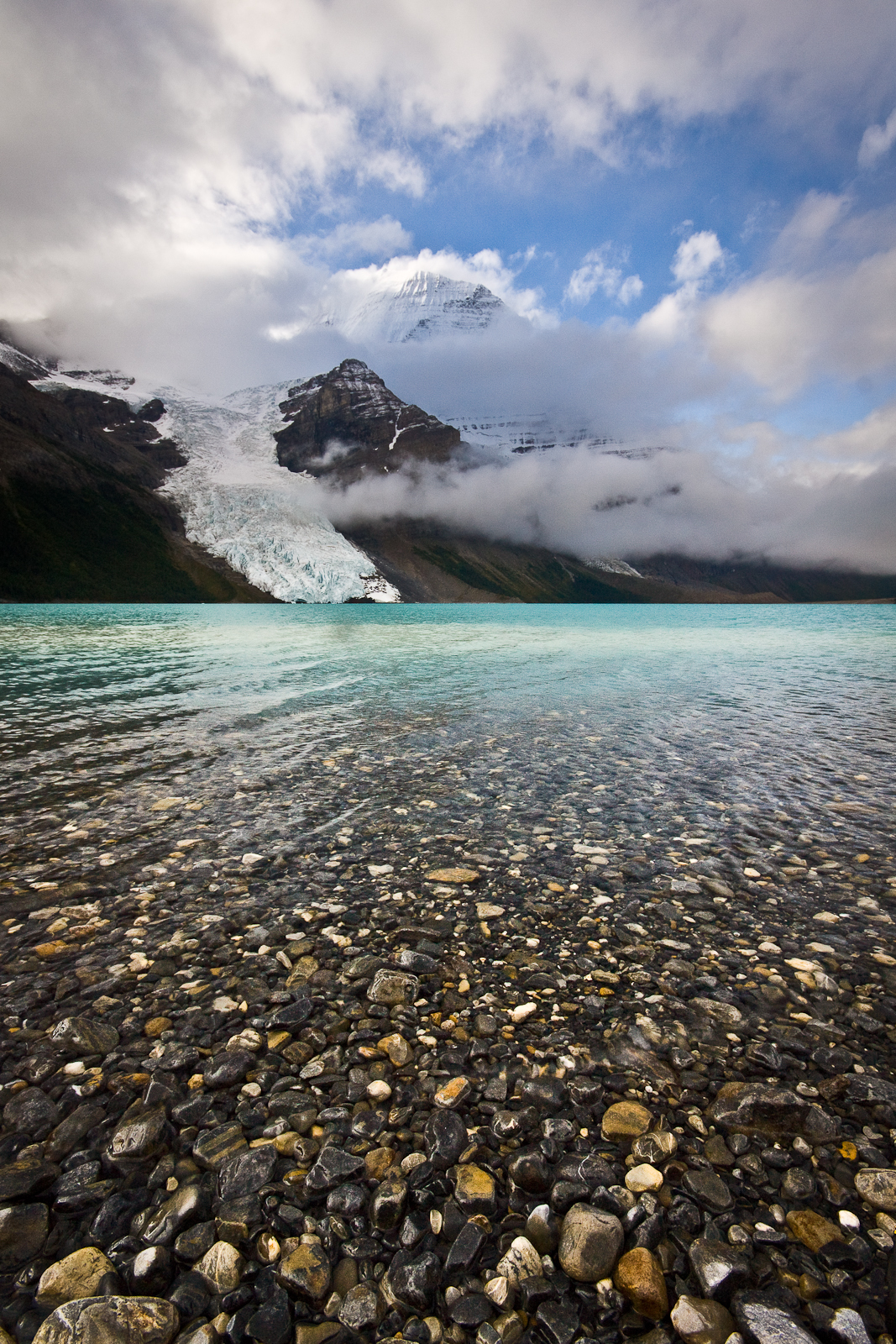
Continue along the shore past Berg Lake campground, then Rearguard. Keep on the main trail past the Snowbird Pass branch to Robson Pass.
Full route notes
Follow the Robson River through forest to the first Kinney Lake views, then continue along the lake to its campground. Beyond the lake, the route crosses the flats or uses the higher bypass when water levels require it, then climbs through forest to Whitehorn. Above Whitehorn, bridge crossings lead into the Valley of a Thousand Falls and the main sustained climb past White Falls and the Emperor Falls side trail. Steep, rocky sections make this much harder than the lower Kinney Lake walk. Above Emperor Falls campground the grade eases toward Marmot and the Berg Lake shore, with some uneven boulder sections on the rebuilt approach. Continue past Berg Lake and Rearguard camps to Robson Pass if that is your booked endpoint. A 2025 trip account places the pass campground about 21.5 km from the trailhead, while the government reopening information uses approximately 23 km for the route; both refer to the rebuilt corridor at different endpoints. Follow the current signed stages and your reserved camp itinerary.
The way back
Return along the Berg Lake corridor to Kinney Lake Road unless a separately planned permitted traverse provides another exit. Published rebuilt-corridor measurements vary by endpoint: about 21.5 km to the Robson Pass campground in the 2025 trip report and approximately 23 km for the government’s full route description. Both are one-way approaches.
Distance and elevation source notes
Source comparison: Toboggan Falls Route; 6 km; 300 m ascent; 2½–3½ hours duration; combined Hargreaves–Toboggan loop from Berg Lake camp scope. The same combined Toboggan Falls–Hargreaves loop is already represented.
Conditions & seasons
The rebuilt corridor reopened in stages after the 2021 damage, with the full route reopening in 2025. Current signs and BC Parks advisories take precedence over older map distances. Winter travel is possible but adds avalanche, snow and ice hazards; it is not the same undertaking as a summer walk.
Robson watercraft and wading equipment restriction
From May 4, 2026, BC Parks prohibits watercraft and wading equipment throughout Mount Robson Park waters to limit aquatic disease spread. This includes powered and unpowered craft, inflatables, wading clothing and boots. The hiking trails are not closed by this notice.
BC Parks allows winter use, but warns of severe winter conditions. Use designated camping areas and check current advisories and avalanche conditions; the summer itinerary is not a validated winter track.
These are dated research notes. Open the trip planner for current available weather and advisory feeds; no alert found does not establish that a trail or road is open.
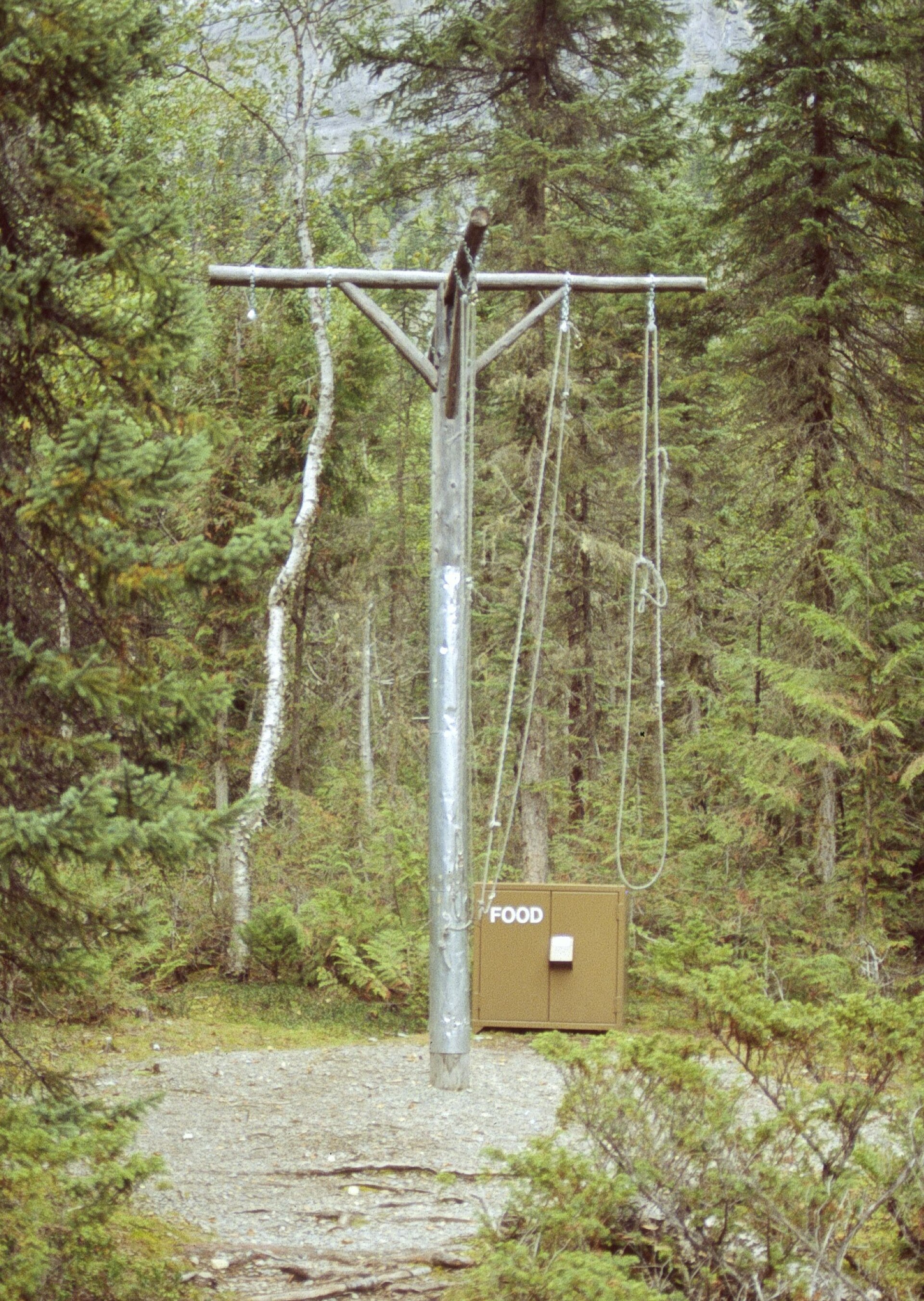
Overnight stays belong in designated Berg Lake Trail campgrounds, on tent pads or other established sites. Reserve the selected campground during the peak booking season; a day-hike visit does not provide a camping reservation. The corridor has a permanent campfire ban, and water must be treated. Dogs are not allowed on overnight trips. The seven campgrounds along the corridor are Kinney Lake, Whitehorn, Emperor Falls, Marmot, Berg Lake, Rearguard and Robson Pass. Higher camps provide a base for side trips, which add distance beyond the main approach.
Descriptions are written for this guide from the linked evidence. Source review dates, published reports and field observations can differ. Photographs and route lines retain their own attribution and reuse terms.