Hikes & outdoor guides around Prince George
Find forest walks, waterfalls, mountain hikes and places to stay near Prince George.
Browse activities, regions & favourites
Guides cover individual outings, trail networks and camping destinations. Each guide explains the available route information and maps.
324 documented places
Places include individual outings, trail networks and camping destinations. Guide depth and available maps vary; each page identifies what is established.
324 of 324 places
Open map search →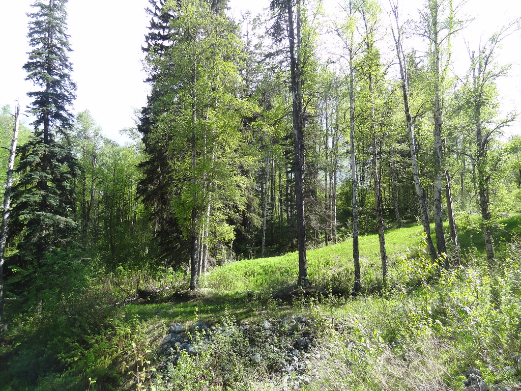 Photo: Andrew Kurjata · CC BY-NC-SA 2.0 · Noncommercial onlywalk · Prince George
Forests for the World
A forest network on Cranbrook Hill with Shane Lake, picnic shelters and connections toward UNBC and the Greenway. Choose a short lakeside outing or extend onto the hill’s longer…
Trail network · choose a named routeAbout 16 min drive from PGRead guide →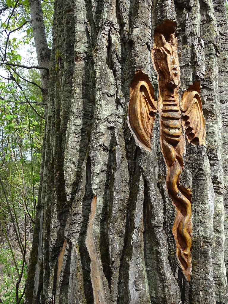 Photo: Adam Jones · CC BY 2.0walk · Prince George
Cottonwood Island Nature Park Trail
Riverbank paths, bridges and tree-bark carvings make Cottonwood Island a varied low-level walk near the Nechako–Fraser confluence. There are several entrances and route…
Read the approach and route notesAbout 4 min drive from PGRead guide →- walk · Prince George
Ferguson Lake Nature Reserve
A mostly gentle circuit around a small lake at Prince George’s northern edge, with boardwalks, a fishing dock and remnants of early homesteads. It is a useful short nature walk…
Easy · 2.4 km loop · 40 m gain · 0.5–1 hour for the shoreline circuitAbout 27 min drive from PGRead guide → 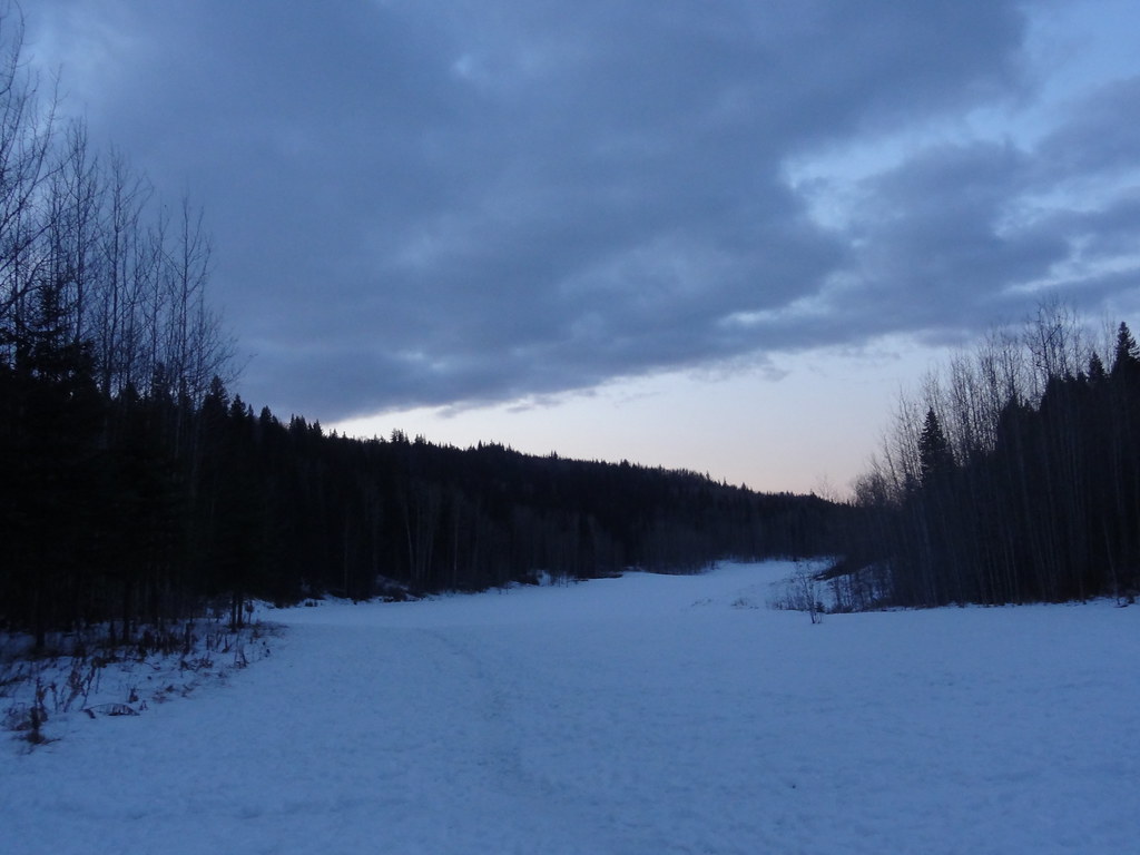 Photo: Andrew Kurjata · CC BY-NC-SA 2.0 · Noncommercial onlywalk · Prince George
Moore’s Meadow Park Trail
Wooded paths descend into a glacial kettle and open meadow within the city. Several entrances and connecting trails make it easy to vary the walk, with a climb back out at the end.
Trail network · choose a named routeRead guide →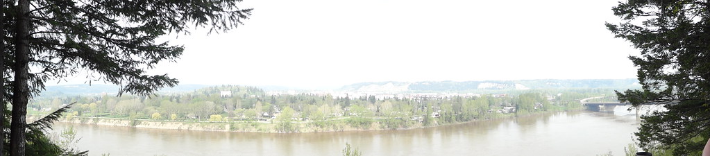 Photo: Andrew Kurjata · CC BY-NC-SA 2.0 · Noncommercial onlywalk · Prince George
LC Gunn Park
An elevated walk above the Fraser River links LC Gunn Park with the cutbank corridor toward the Simon Fraser Bridge. Viewpoints reward a short visit, while the full return walk is…
Easy · 7 km round trip · 85 m gain · 2–3 hours for the full return outingAbout 5 min drive from PGRead guide →- park · Prince George
Otway Trails — Caledonia Nordic
Forest trails within Prince George for summer walks and winter snowshoeing, with a separate ski network and a recently opened paved recreation circuit. Choose trails for the…
Read the approach and route notesAbout 15 min drive from PGRead guide → - walk · Prince George
Casino and Cemetery Trail
A paved neighbourhood connection near the cemetery, linking several parts of south-central Prince George. Its appeal is an easy urban walk with multiple entry points rather than a…
Read the approach and route notesRead guide → - walk · Prince George
Centennial Connector Trail
A long urban circuit links the river parks, Moore’s Meadow and the university hillside around the Prince George Bowl. It combines paths and sidewalks, with one substantial hill…
Trail network · choose a named routeRead guide → - walk · Prince George
College Heights Trail System
A network of paved and dirt paths connects neighbourhood parks, playgrounds and sports facilities in College Heights. The 6.4 km figure describes the network rather than one…
Trail network · choose a named routeRead guide → 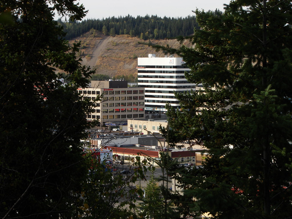 Photo: Pipers Creek · CC BY-NC 2.0 · Noncommercial onlywalk · Prince George
Connaught Hill Park
A landscaped hilltop park with broad city views, flower beds and picnic space. Walking approaches include stairs and a trail, while a seasonal vehicle road provides a different…
Read the approach and route notesRead guide →- walk · Prince George
Duchess Park
A neighbourhood park with lit multi-use paths, an accessible playground and a separate fenced dog area. It fits a short stroll or family stop rather than a remote hiking itinerary.
Read the approach and route notesRead guide → 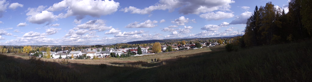 Photo: Andrew Kurjata · CC BY-NC-SA 2.0 · Noncommercial onlyviewpoint · Prince George
Ginter’s Meadow
An open meadow at the foot of Cranbrook Hill offers a short city walk and access to longer climbing paths. It is also a designated off-leash area, with boundaries that differ from…
Trail network · choose a named routeRead guide →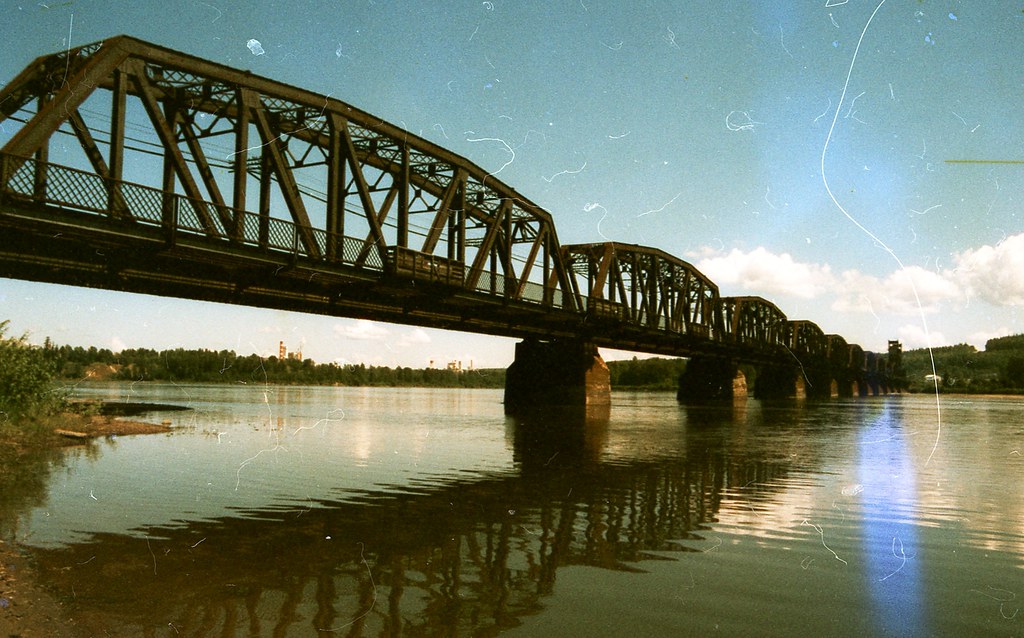 Photo: ₡ґǘșϯγ Ɗᶏ Ⱪᶅṏⱳդ · CC0 1.0walk · Prince George
Heritage River Trail System
A mostly level city network links river views, wetlands and major parks along the Fraser and Nechako. Some Nechako-side sections are no longer available, so it must be planned as…
Trail network · choose a named routeRead guide →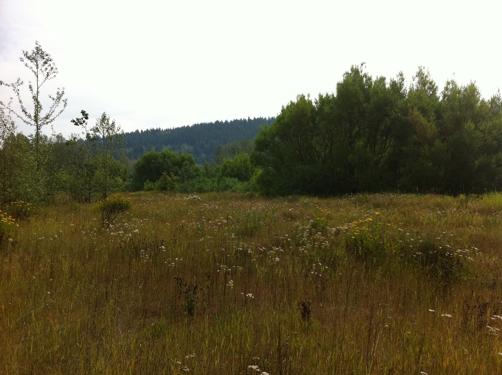 Photo: Andrew Kurjata · CC BY-NC-SA 2.0 · Noncommercial onlywalk · Prince George
Hudson’s Bay Wetland Nature Park
A short wetland walk near the Fraser River combines viewing platforms and interpretation with convenient city-park connections. It can be visited on its own or as part of the…
Read the approach and route notesRead guide → Photo: Arenity · CC BY-SA 4.0walk · Prince George
Lheidli T’enneh Memorial Park
A major Fraser River park combines paved paths, gathering spaces and family facilities on the site of a former Lheidli village. An active Lheidli T’enneh cemetery remains within…
Read the approach and route notesRead guide →- walk · Prince George
McMillan Creek Regional Park
A wooded ravine walk leads to Nechako cutbank viewpoints above Prince George. The park offers a shorter direct lookout visit and a longer trail option, which should be selected…
Easy · Less than 3 hoursRead guide → - walk · Prince George
Millar Addition–Fraser River Loop
A mostly level paved city loop combines the Millar Addition neighbourhood with the Fraser River park area. It is suited to a steady urban walk with access to picnic and toilet…
4.2 km loopRead guide → - walk · Prince George
Nechako Riverside Park
A short constructed path descends from Foothills Boulevard to picnic space beside the Nechako River. It offers a clear, compact outing with accessible facilities and a climb back…
1 km round trip · Approx. 20 m gainRead guide → - walk · Prince George
Rainbow Park
A landscaped city park combines flower beds, wooded glacial depressions and short nature paths. It is a flexible park stroll with picnic space rather than a single measured hiking…
Read the approach and route notesRead guide → - walk · Prince George
UNBC Connector Trail System
Paths between the city below and University Way above offer both relatively level walks and a sustained hill workout. Ginter’s Meadow forms a useful lower access to the wider…
Trail network · choose a named routeRead guide → - walk · Prince George
Wilson Park
A riverside trail system follows the southern bank of the Nechako through a nature park. It offers changing river views on a short walk within Prince George.
Trail network · choose a named routeRead guide → - walk · Prince George
PG 50
An endurance walk combines city parks, river corridors and the full Cranbrook Hill Greenway into a roughly 50 km day. It is a stitched itinerary across several networks rather…
Expert · 50 km loop · 12+ hoursRead guide → - walk · Prince George
Backside Trail
A roughly 9 km loop uses several named forest paths behind UNBC, including an informal Backside segment. Frequent junctions make it a navigation walk through a network rather than…
Moderate · 9 km loop · 2 hoursAbout 12 min drive from PGRead guide → - park · Prince George
Chancellor Park
A University Heights neighbourhood park with new play space and walking connections. The project was built in 2025, with landscaping scheduled for spring 2026, so older maps may…
Read the approach and route notesRead guide →