A LOCAL FIELD GUIDE
Hiking around Prince George
Find a walk close to home, a waterfall, or a day in the mountains.
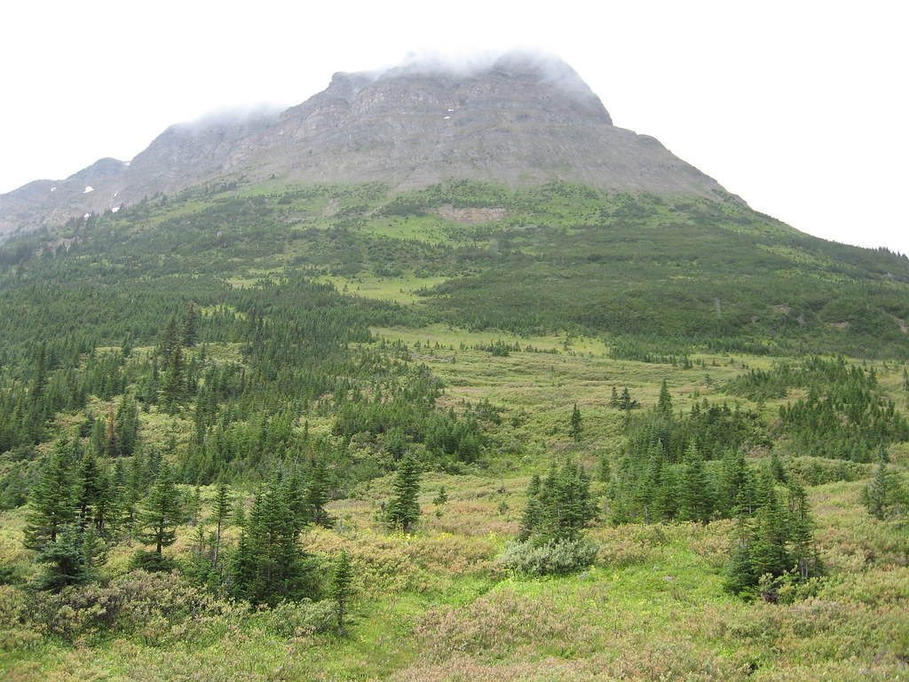
Photo credit
Tete Roche, on Yellowhead Mountain · Padraic · CC BY-SA 2.0 · Photographed Aug 19, 2007 · Downloaded provider display size; no local image edits. Display may crop the view. Adaptations retain the image licence.Mount Robson
Yellowhead Mountain meadows
Continue6.5km beyond viewpoint.
Photo credit
Tete Roche, on Yellowhead Mountain · Padraic · CC BY-SA 2.0 · Photographed Aug 19, 2007 · Downloaded provider display size; no local image edits. Display may crop the view. Adaptations retain the image licence.Mount Robson
Mount Fitzwilliam / Rockingham Creek camp
Closure notice recorded · check guideSwitchbacks to creek camp.
Mount Robson
Mount Fitzwilliam alpine lakes
Closure notice recorded · check guideRougher route beyond creek to headwall and lakes.
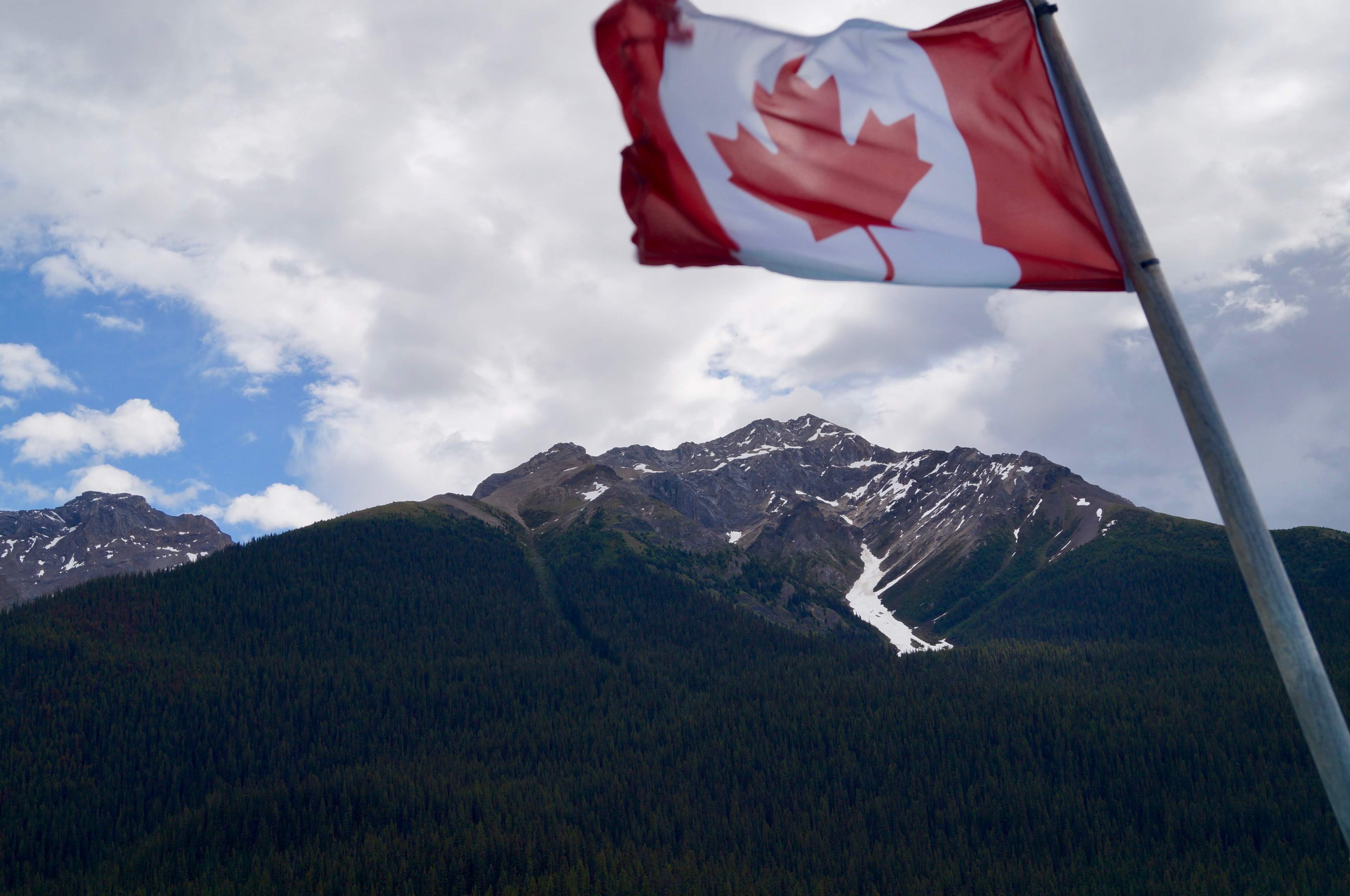
Photo credit
Canadian Rockies - Jasper National Park.jpg · Kedarangirus · CC BY-SA 4.0 · Photographed Jun 13, 2019 · Downloaded source display image; no local image edits. Display may crop the view. Any adaptations retain the image licence.Alberta
Jasper National Park
A national-park planning overview east of Prince George, with separate day-hiking and overnight options. Current reopening, trail and road…
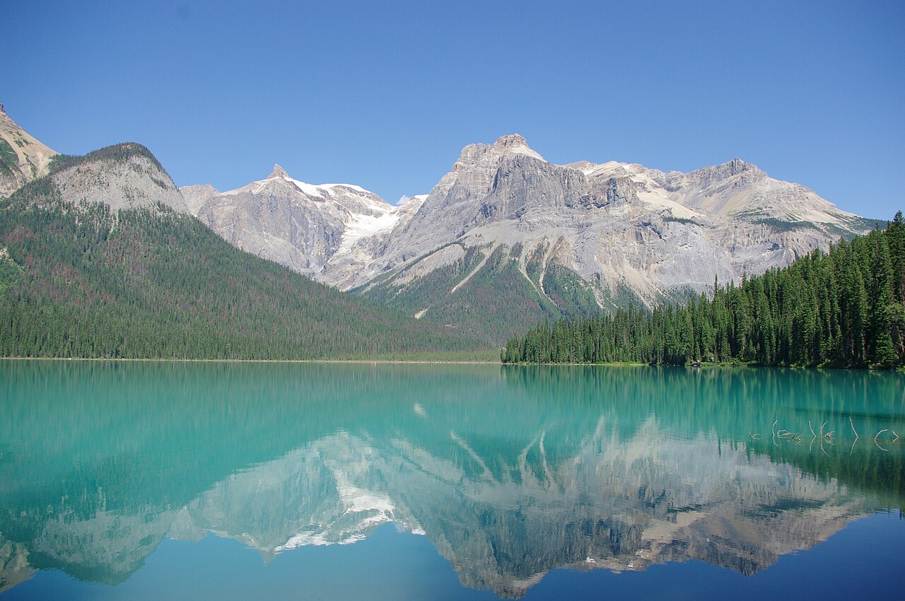
Yoho
Yoho National Park
A farther-destination overview for Yoho National Park near Field. Waterfall visits, lake walks and mountain itineraries require individual…
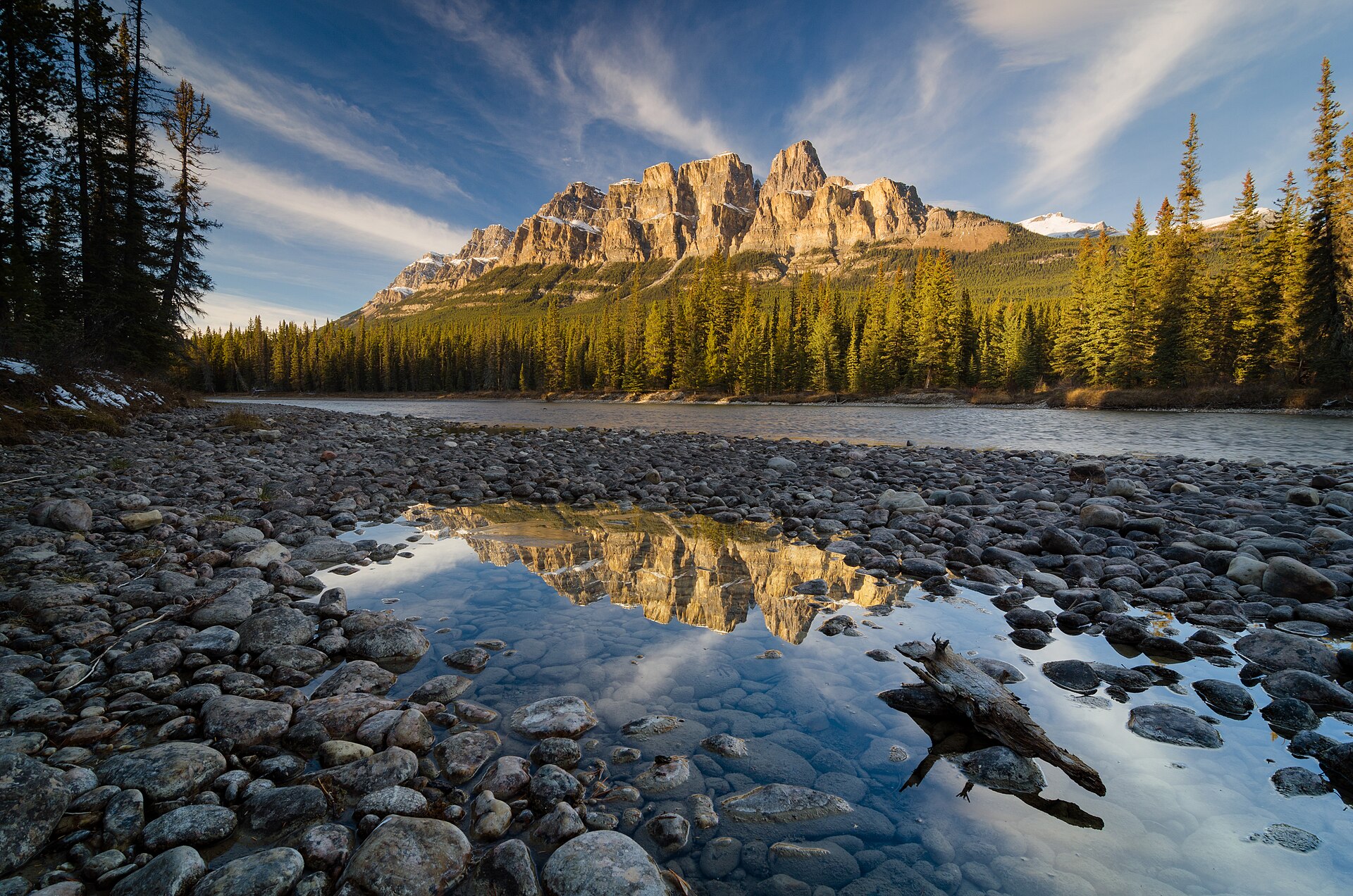
Photo credit
Castle Mountain.jpg · Jakub Fryš · CC BY-SA 4.0 · Photographed Oct 15, 2018 · Source display image downloaded without local content edits. Display may crop; adaptations retain the stated image licence.Alberta
Banff National Park
A farther-destination planning overview for Banff National Park. Choose an individual Parks Canada hiking itinerary before comparing distances,…
Walker Creek / McGregor Mountains
Clout Peak — western summit
A demanding bushwhack to Clout’s western summit, with a steep forest approach followed by alpine meadows and mountain terrain.
Tumbler Ridge / Monkman
Decent Camp
Official Monkman map marks camp at trail km 39; these are route-chainage values, not road distances.