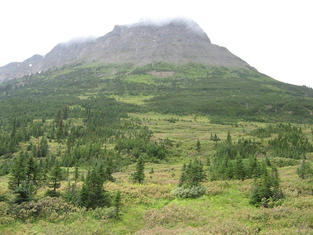
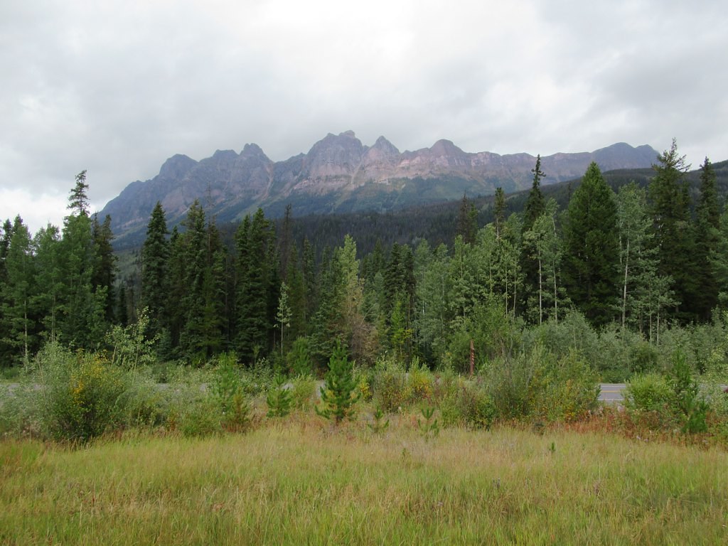
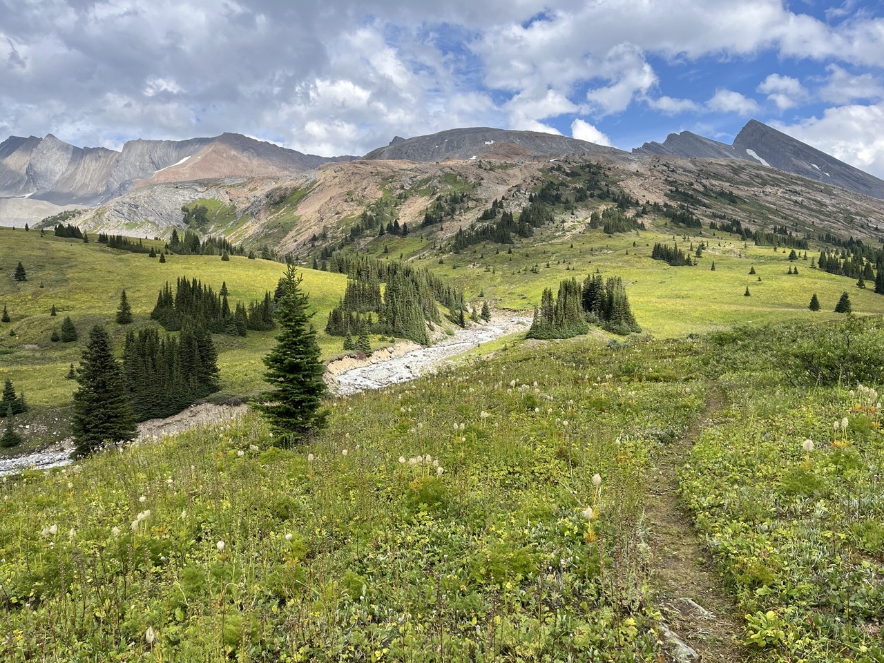
The locations GPX contains sourced points with their recorded roles. It contains no trail track or connecting route.
Distance
8.5 kmOne way only
Elevation gain
Not establishedThe source lists 800 m with the outward route. Any climbing on the return is not established; this is not a verified complete-return total.
Walking time
See time notesOfficial page says 3–5 hours return, which conflicts with its 8.5 km uphill narrative; allow a longer plan pending confirmation
A full-route elevation profile is not available yet.
More maps & trail files
AllTrails map
Yellowhead Mountain outing on AllTrails
AllTrails lists about 12.2 km return near Lucerne. BC Parks describes a longer meadow outing; the exact upper turnaround has not been reconciled. Do not replace the official route extent with this shorter figure.
A reusable trail line has not yet been verified for this outing. Any location pin shows the published location described above; it does not draw the hike or establish a navigable approach.
Getting there & parking
At Whitney Lake, take the northbound access road from Highway 16.
Continue approximately 1 km to the small railway-side trail parking.
Parking: Turn north off Highway 16 at Whitney Lake, approximately 52.8 km east of the Mount Robson Welcome Centre. The small parking area is about 1 km along this road beside the railway.
Full access notes
Drive east from Mount Robson Welcome Centre on Highway 16 for about 52.8 km to Whitney Lake. Turn north and continue approximately 1 km to the small parking area near the railway tracks. Use the signed Yellowhead Mountain trail start; this is a different approach from the Fitzwilliam parking beside Yellowhead Lake.
Map position: 52.86034, -118.55331 · source-published Yellowhead Mountain trail access. Source driving-directions link explicitly targets52.860344,-118.553309; page describes Lucerne Station Road parking and common approach to viewpoint and upper meadows.
Published access point from2018contributor page; current parking and railway-crossing instructions require checking.
On the trail
Climb the forest trail from the valley to the first viewpoint, approximately 2 km along the route.
Continue another approximately 6.5 km beyond the viewpoint through changing forest to the subalpine meadow system, the official upper turnaround.
Full route notes
Climb from the valley through pine, fir and aspen to the first viewpoint, about 2 km along the trail. This is the shorter option’s turnaround and provides views over the lakes and surrounding mountains. For the meadow outing, continue uphill through changing forest into subalpine fir and black spruce, then to the meadow system identified by BC Parks as the upper turnaround. The official page gives another 6.5 km beyond the viewpoint and approximately 800 m of total gain. Its short suggested time and stated distances do not fully agree, so plan using the selected distance scope and your own pace rather than assuming the complete meadow hike fits a short afternoon.
The way back
Retrace the trail to the railway-side parking. The official narrative describes 8.5 km to the meadows, making about 17 km return, and 800 m ascent. Its separate 3–5-hour return suggestion does not readily agree with that distance; plan using the full approach and your own pace.
Terrain: alpine.
Conditions & seasons
Season-specific access has not been established in this guide. Read the dated notices and original land-manager information before choosing a departure date.
Robson watercraft and wading equipment restriction
From May 4, 2026, BC Parks prohibits watercraft and wading equipment throughout Mount Robson Park waters to limit aquatic disease spread. This includes powered and unpowered craft, inflatables, wading clothing and boots. The hiking trails are not closed by this notice.
These are dated research notes. Open the trip planner for current available weather and advisory feeds; no alert found does not establish that a trail or road is open.
BC Parks describes Yellowhead Mountain as a day-hike destination with no campground or other trail facilities. Do not plan an overnight stay at the viewpoint or meadow based on this listing.
Descriptions are written for this guide from the linked evidence. Source review dates, published reports and field observations can differ. Photographs and route lines retain their own attribution and reuse terms.