Published 2026 camping season ended October 4
The municipal page lists the 2026 camping season as May 6–October 4. A later reopening date has not been verified.
Notice dated October 4, 2026 · District of Vanderhoof (opens original source)A serviced municipal campground beside the Nechako River in Vanderhoof, within walking distance of town. It provides a practical base for the riverside nature trail, but its published 2026 season has ended.
Sources reviewed . This is a research date, not a trail inspection.
The municipal page lists the 2026 camping season as May 6–October 4. A later reopening date has not been verified.
Notice dated October 4, 2026 · District of Vanderhoof (opens original source)The locations GPX contains sourced points with their recorded roles. It contains no trail track or connecting route.
A reusable trail line has not yet been verified for this outing. Any location pin shows the published location described above; it does not draw the hike or establish a navigable approach.
Use the campground entrance within Vanderhoof’s Riverside Park, following the municipal booking map to your assigned site. The park’s published gate hours are 7 am–10 pm. The 2026 operating period was May 6–October 4, so do not arrive expecting an open overnight site after that date without explicit current confirmation. Town amenities are described as about a ten-minute walk away.
Map position: 54.02484, -124.01099 · mapped campground reference point. OSMway532104536 named Riverside Park Campground in Vanderhoof. Source-backed reference location; current access, exact parking and field position not independently verified.
The campground lists 38 sites suitable for tents and trailers, with water and electrical connections, plus shared toilets and showers. Five sites have 50-amp service, so request the needed connection rather than assuming all pads are equivalent. For a walk, join the park paths and the separately described Riverside Nature Trail toward the WL McLeod wetland. The campground’s beach-volleyball and waterfront areas are recreation facilities, not a supervised swimming service. Use the municipal reservation system for site allocation and check any event-related closures or next-season dates before planning the stay.
year: 2026 opens: 2026-05-06 closes: 2026-10-04 booking blackout: 2026-07-02 through 2026-07-06
These are dated research notes. Open the trip planner for current available weather and advisory feeds; no alert found does not establish that a trail or road is open.
Municipal tent and trailer campground with 38 sites, water and electricity, toilets and showers. The published 2026 season ended October 4; next-season dates need confirmation.
A photograph with confirmed reuse permission has not yet been added to this guide.
These photographs provide context; they do not establish the appearance of this selected route or facility.
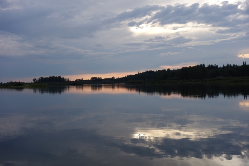
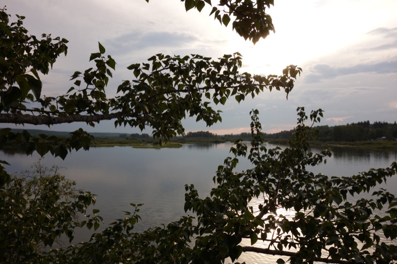
These galleries stay on their photographers’ original websites.
Choose a trip pack or an available individual sheet for your map case.
Descriptions are written for this guide from the linked evidence. Source review dates, published reports and field observations can differ. Photographs and route lines retain their own attribution and reuse terms.
Photo: irmiller · CC BY-NC 2.0 · Noncommercial only; obtain a commercial licence or replace before commercial use.Hikes · Vanderhoof & Fraser LakeA gentle riverside walk links the migratory-bird observation tower at Riverside Park with the WL McLeod wetland. River lookouts and wooded sections make this a useful short…
2.7 km round tripRead guide →A short interpretive loop combines Vanderhoof’s museum grounds, Stoney Creek and a wooded slope above the Nechako valley. It makes a compact town walk with a creek lookout and…
1.25 km loopRead guide →A long historic forest corridor runs toward the old Stuart River ferry crossing. Side trails to meadows and lakes provide shorter objectives, while the full one-way route is a…
15 km · one way onlyRead guide →A seven-loop community-forest network reaches Waterlily and Homestead lakes, an old trapper’s cabin and viewpoints near Logan’s Point. Loop lengths vary widely, so the network…
Seven loops, 1.2–12.6 kmRead guide →A historic route follows an esker through the Hogback Lake area, with lake views and remnants of the Collins Overland Telegraph corridor. The public distance wording conflicts, so…
Source says loop and 10 km one-way; unresolvedRead guide →A steep service-road climb reaches a lookout and communications facilities above the Nechako Valley. The straightforward objective still involves continuous uphill walking on…
2.7 km · one way onlyRead guide →