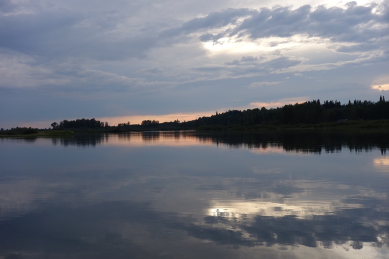
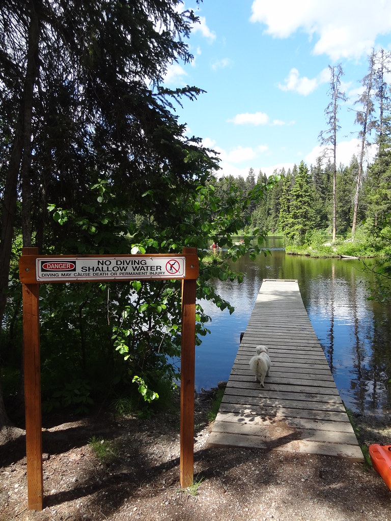
A historic route follows an esker through the Hogback Lake area, with lake views and remnants of the Collins Overland Telegraph corridor. The public distance wording conflicts, so plan using a chosen entrance and a deliberate turnaround.
Sources reviewed . This is a research date, not a trail inspection.
Source says loop and 10 km one-way; unresolvedTrip basis unconfirmed
Elevation gain
Not establishedCumulative ascent for this outing has not been established.
Walking time
Not published
Difficulty
Not rated
Map & elevation
Opening the map…
Partial elevation profile
Mapped portion · walking direction unconfirmed · 10.29 km
This chart covers only part of the route. It does not establish the full hike or a return journey.
Coverage and elevation sources
10.29 km along source section 1 of 1, in its mapped direction. Approximate 90 m terrain model along this mapped section. Separate sections are not joined. This chart does not measure total trail ascent or establish current access; use the guide’s published outing measurements.
An approximately 20.6 km return at Hogsback Lake near Vanderhoof. This supports a much longer outing than a 10 km loop; the district’s loop versus one-way wording still needs endpoint verification.
Mapped named trail. Shows source sections of the historic Telegraph corridor. The mapped extent is not equivalent to every Hogback Lake starting option. Line source (opens original source).
Getting there & parking
From Highway 16 about 6.6 km east of the visitor centre, turn onto Blackwater Road.
At the 22.5 km road reference, follow signs to Hogback Lake recreation site.
A separate Telegraph Trail entrance is described 12.1 km beyond the Hogback Lake Road entrance, signed on the right; do not confuse these two starts.
Parking: At the Hogback Lake recreation-site approach, stay left and use the easternmost parking area beside the trailhead sign.
Full access notes
To reach Hogback Lake, take Highway 16 to the Blackwater Road turn approximately 6.6 km east of Vanderhoof’s visitor centre, then follow Blackwater Road to the 22.5 km point. Follow the recreation-site signs, keeping left, and use the easternmost parking area; look for the trailhead sign there. A second Telegraph Trail entrance is described 12.1 km beyond the Hogback Lake Road entrance, with a sign on the right. Confirm these junctions against the local trail map rather than treating the two entrances as interchangeable.
Map position: 53.84984, -123.83546 · recreation project location. PROJECT_NAME=Telegraph Trail Hogsback; FOREST_FILE_ID=REC5886; official source point [-123.83545651455209, 53.84984063266491]
On the trail
From your selected trailhead, follow the route along the top of the esker, where the raised ground gives views of surrounding lakes. The surface is described as moderate to rough and is also used by experienced mountain bikers. Telegraph-wire remnants are historical objects and should be left in place. The district calls the route both a loop and 10 km one way; that unresolved wording does not support advertising a precise 10 km circuit. An out-and-back to a planned turnaround avoids committing to an unverified loop connection. Keep track of which branch returns to the parking area you used.
The way back
The district calls the route both a loop and 10 km one way. Until the actual connections are resolved, choose a turnaround and retrace the selected approach rather than relying on an advertised 10 km circuit.
Distance and elevation source notes
The municipal source describes Telegraph as a loop but also gives 10 km one way. Route extent and return convention are unresolved; do not convert this into a 20 km outing.
Conditions & seasons
Season-specific access has not been established in this guide. Read the dated notices and original land-manager information before choosing a departure date.
These are dated research notes. Open the trip planner for current available weather and advisory feeds; no alert found does not establish that a trail or road is open.
On-route camping permission has not been established for this outing. Check the relevant land manager before planning an overnight stay; a mapped lake, cabin or previous tent location does not confirm permission.
Photos of Telegraph Trail / Hogback Lake
A photograph with confirmed reuse permission has not yet been added to this guide.
Original photo galleries
These galleries stay on their photographers’ original websites.
Descriptions are written for this guide from the linked evidence. Source review dates, published reports and field observations can differ. Photographs and route lines retain their own attribution and reuse terms.