A LOCAL FIELD GUIDE

Find a hike around Prince George

Find a walk close to home, a waterfall, or a day in the mountains.

Browse regions

Places to go

251 to 260 of 324 places · 318 on the map

Valemount / Mount Robson

Big Foot Trail Loop

4.0 AllTrails

Village circuit with paved connections and interpretive stops.

About 3 hr 59 min from PG3.64 km · loopAbout 1 hour

Valemount / Mount Robson

Zen Garden via access trails

Approach paths lead to boardwalks and small stream cascades.

About 4 hr 5 min from PG4 km · round trip120 m gain1½–2½ hoursincluding access

Valemount / Mount Robson

Selwyn Traverse

Forest traverse toward Kinbasket Lake; arrange return transport.

About 4 hr 8 min from PG9.7 km · point to point200 m gain3–3½ hours one way
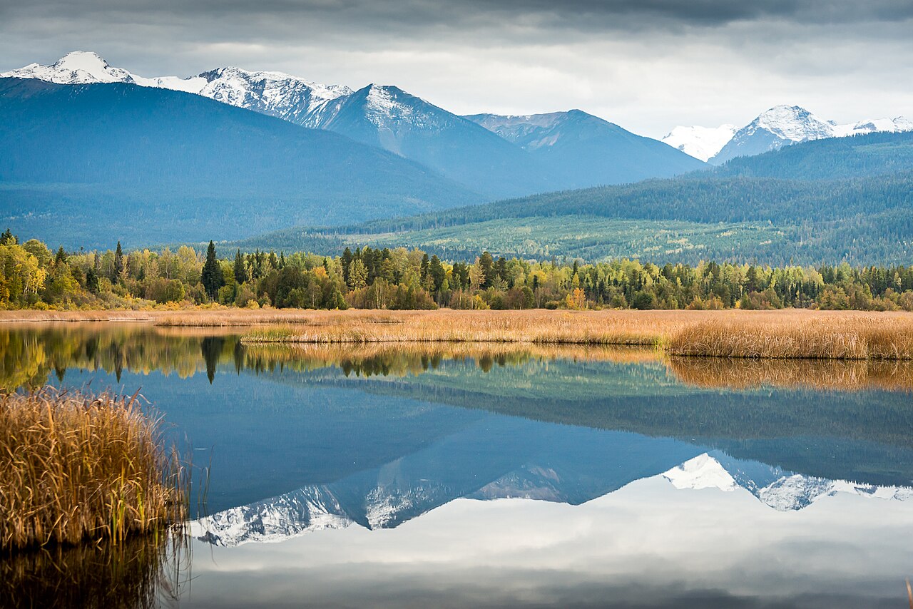
Cranberry Marsh in the Starratt Wildlife Management Area at Valemount
Photo creditCranberry Marsh, British Columbia.jpg · Darren Kirby · CC BY-SA 2.0 · Photographed Sep 19, 2018 · Provider resized the original for this download; no local edits. Display may crop the view. Adaptations retain the image licence.

Valemount / Mount Robson

Cranberry Marsh Loop

4.2 AllTrailsClosure notice recorded · check guide

Wetland circuit with viewing towers.

5.5 km · loopAbout 2 hoursfor the full loop when passable

Valemount / Mount Robson

McKirdy Meadows cabin

4.7 AllTrails

A forest climb to alpine meadows and a backcountry cabin.

About 4 hr 16 min from PG12 km · round trip500 m gain3–4 hours return, as published

Valemount / Mount Robson

McKirdy ridge

Meadow junction continues toward ridge.

20 km · round trip700 m gain4–5 hours return, as published; assess pace carefully for 20 km

Valemount / Mount Robson

Aloha main lookout

4.6 AllTrails

Slide-area ascent to waterfall overlook.

About 4 hr 53 min from PG1.2 km · round trip100 m gainAbout 1 hour return

Valemount / Mount Robson

Aloha upper/lower waterfall-base branches

Closure notice recorded · check guide

Rope-assisted branches, retained as closed route variants.

2 km · round tripSee time notesDo not plan this outing while the reported closure remains unresolved

Mount Robson

Moose River to Alberta border

Remote drainage route.

49 km · one way; return unconfirmedMulti-dayofficial five-to-seven-day estimate covers the route/traverse rather than a simple short day hike