Full loop reported flooded
YORA’s April 19, 2026 notice says flooding prevents the full loop. No later reopening was verified during this review.
Notice dated April 19, 2026 · YORA / Hike Valemount (opens original source)Wetland circuit with viewing towers.
Sources reviewed . This is a research date, not a trail inspection.
YORA’s April 19, 2026 notice says flooding prevents the full loop. No later reopening was verified during this review.
Notice dated April 19, 2026 · YORA / Hike Valemount (opens original source)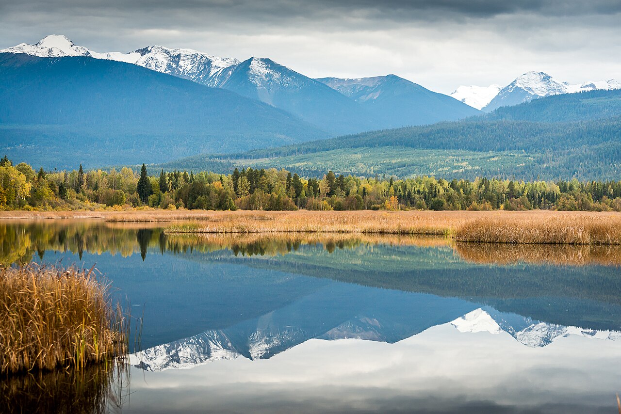
Mapped portion · walking direction unconfirmed · 0.94 km
This chart covers only part of the route. It does not establish the full hike or a return journey.
0.94 km along source section 1 of 1, in its mapped direction. Approximate 90 m terrain model along this mapped section. Separate sections are not joined. This chart does not measure total trail ascent or establish current access; use the guide’s published outing measurements.
Copernicus GLO-90 terrain elevations via Open-Meteo (CC BY4.0); linework: Open Database License (ODbL) 1.0 · checked 2026-10-18 · CC BY4.0 elevation data; Open Database License (ODbL) 1.0 linework. Copernicus DEM 2021 GLO-90 via Open-Meteo. Linework source: https://www.openstreetmap.org/way/442931490. Sampled and rounded for display.
An approximately 5.8 km circuit in Starratt Wildlife Management Area. Older AllTrails descriptions do not override the local steward’s dated flooding and incomplete-loop notices.
Route comparison checked 2026-10-18. AllTrails maintains this separate map.https://www.alltrails.com/trail/canada/british-columbia/cranberry-marsh-loop
Mapped named trail. Only the named Boardwalk Trail section is mapped. The rest of the full marsh loop is not established by this line. Line source (opens original source).
Three signed approaches serve the marsh. From Highway 5, use the same turnoff as the Best Western and find the trailhead at the far end of the parking area beside the highway, respecting private parking restrictions. From town, Ash Street ends at a cul-de-sac with a trail sign. A third approach is reached by turning from Ash Street onto 13th Avenue, then left onto McKirdy Road to a sandy parking area with a picnic table. Choose the access that serves the open section you intend to visit.
Full loop was reported unavailable due to flooding on 2026-04-19, without a verified reopening. Existing drive goes to an entrance, not a currently available full loop.
Map position: 52.81913, -119.25831 · trailhead. source-published; not field-verified
Walk the dykes and wetland paths through the Starratt Wildlife Management Area, using the viewing towers for a wider view of nesting islands and marsh habitat. The published complete loop is about 5.5 km, but the local guide’s April 19, 2026 update reports flooding that prevents completion of the loop. A temporary boardwalk installed on the south side in 2025 does not guarantee passage when water is high. Until the steward confirms the connection is open, make an out-and-back on the accessible section instead of trying to force a circuit through flooded ground. The wide, level dyke near the highway-side access may suit some visitors with limited mobility, while the whole loop has different surface conditions.
The broad, flat dyke near the hotel is a limited-mobility option; this does not establish accessibility of the entire 5.5 km circuit.
Spring is particularly useful for wetland wildlife viewing, while mosquitoes and bears may be encountered through the warmer months. Flooding can cut the route after wet weather. Winter skiing and snowshoeing are described locally, but the trail listing does not verify the safety of travelling onto frozen marsh water.
These are dated research notes. Open the trip planner for current available weather and advisory feeds; no alert found does not establish that a trail or road is open.
This is a wildlife-viewing day-use trail. No designated camping or overnight permission was verified on the marsh route.
These galleries stay on their photographers’ original websites.
Choose a trip pack or an available individual sheet for your map case.
Descriptions are written for this guide from the linked evidence. Source review dates, published reports and field observations can differ. Photographs and route lines retain their own attribution and reuse terms.
These contributor-mapped features support the map geometry. They are separate from the written access and route sources.
Village circuit with paved connections and interpretive stops.
Easy / 3.64 km loopRead guide →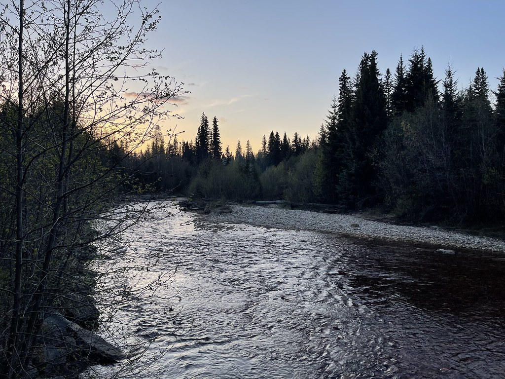 Photo: Soubhik Chakrabarti, courtesy icytales.com · CC BY 2.0Walks · Valemount & Mount Robson
Short marsh path beside Swift Creek salmon viewpoint.
Easy / 0.6 km round tripRead guide →Creekside first kilometre then steep climb to viewpoint.
Moderate / 3.6 km round trip / 37 m gainRead guide →Follow trail6 markers through bike-trail intersections and suspension-bridge circuit.
Moderate / 8.5 km loop / 150 m gainRead guide →Forest traverse toward Kinbasket Lake; arrange return transport.
Moderate / 9.7 km point to point / 200 m gainRead guide →Approach paths lead to boardwalks and small stream cascades.
Moderate / 4 km round trip / 120 m gainRead guide →