A LOCAL FIELD GUIDE

Hiking around Prince George

Find a walk close to home, a waterfall, or a day in the mountains.

Browse regions

Places to go

261 to 270 of 324 places · 318 on the map

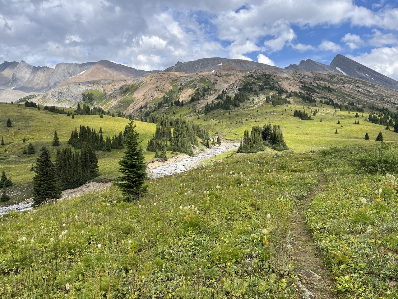
Moose Pass, with Mount Calumet and the Calumet Creek drainage beyond
Photo creditMoose Pass in Mount Robson Provincial Park, British Columbia.jpg · Benfwilliamson · CC0 · Photographed Sep 1, 2026 · Provider resized the original for this download; no local edits. Display may crop the view.

Mount Robson

Moose River–Berg Lake traverse

Crosses Jasper and returns to BC.

66 km · point to point5–7 daysfor the remote route, as published

Valemount / Mount Robson

Colley Lakes / Porcupine Cabin

Route-finding, sidehill and boulders reach alpine lakes; cabin near approach.

9 km · round trip700 m gain6–7 hours return

Smithers

Harvey–McCabe Crossover

An alpine crossover in the Babine Mountains near Smithers links the Harvey Mountain side with the McCabe trail system. The Harvey ascent is…

Not established · full outing distance not confirmed800 m gain7 - 9 hours
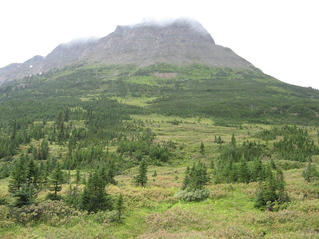
Tête Roche above the upper Yellowhead trail area
Photo creditTete Roche, on Yellowhead Mountain · Padraic · CC BY-SA 2.0 · Photographed Aug 19, 2007 · Downloaded provider display size; no local image edits. Display may crop the view. Adaptations retain the image licence.
Mount Robson

Yellowhead Mountain meadows

Continue6.5km beyond viewpoint.

8.5 km · one way; return unconfirmedSee time notesOfficial page says 3–5 hours return, which conflicts with its 8.5 km uphill narrative; allow a longer plan pending confirmation
Tête Roche above the upper Yellowhead trail area
Photo creditTete Roche, on Yellowhead Mountain · Padraic · CC BY-SA 2.0 · Photographed Aug 19, 2007 · Downloaded provider display size; no local image edits. Display may crop the view. Adaptations retain the image licence.

Mount Robson

Yellowhead Mountain viewpoint

Viewpoint turnaround.

2 km · one way; return unconfirmed

Mount Robson

Mount Fitzwilliam alpine lakes

4.4 AllTrailsClosure notice recorded · check guide

Rougher route beyond creek to headwall and lakes.

13.5 km · one way; return unconfirmed

Walker Creek / McGregor Mountains

Clout Peak — western summit

A demanding bushwhack to Clout’s western summit, with a steep forest approach followed by alpine meadows and mountain terrain.

12 km · round trip1,370 m gain