A LOCAL FIELD GUIDE
Hiking around Prince George
Find a walk close to home, a waterfall, or a day in the mountains.
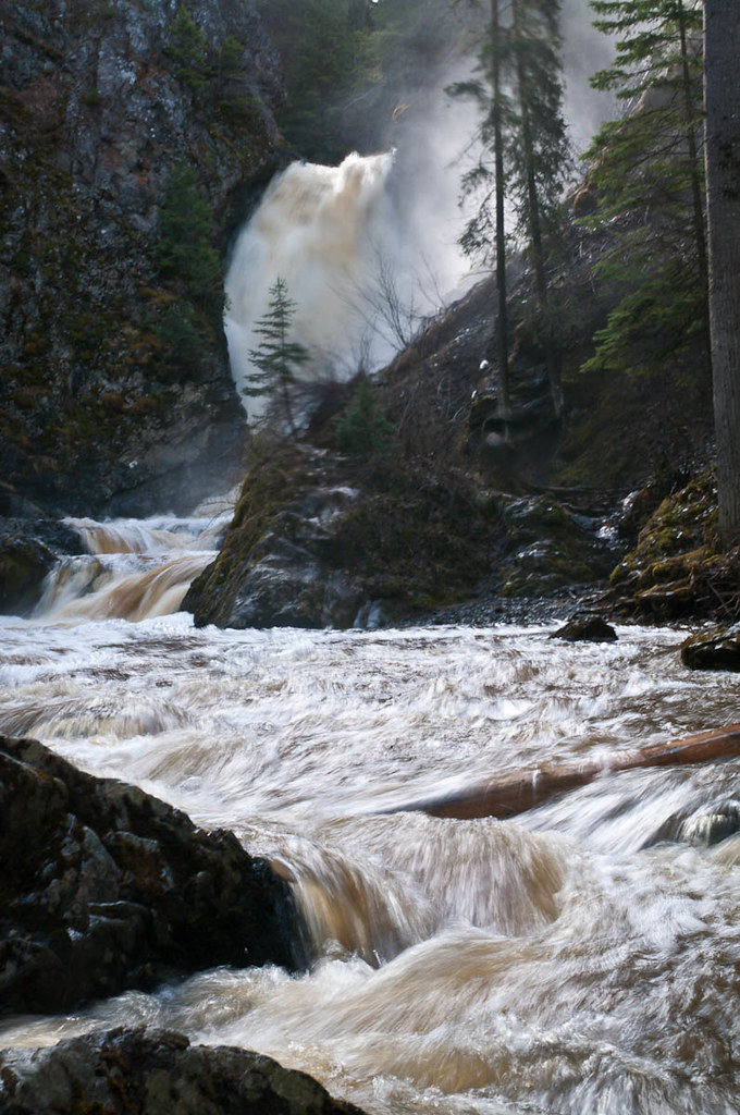
Photo credit
Hixon Falls.jpg · John Freeland · CC BY 2.0 · Photographed May 2, 2012 · Downloaded provider display size; no local image edits. Display may crop the view.Hixon
Hixon Falls
A short path leads into the Hixon Creek canyon to the lower waterfall. This is a useful stop on the Highway 97 corridor, with a separate short…
0.24 km · round trip30 min
Photo credit
DSC04563 · Andrew Kurjata · CC BY-NC-SA 2.0 · Photographed May 10, 2013 · Provider display size downloaded; no local edits. Display may crop the view. Adaptations retain the image licence. · Noncommercial onlyHighway 16 East
Purden Lake
North-shore trail follows lake edge with roots and boardwalks; camping is available in the park subject to operator rules.
12.2 km · round trip3-5 hours
Hixon / south
Hixon Chutes
Hixon Chutes is the second short creek walk near Hixon Falls. Its destination is a constricted section of the gorge where the water funnels…
North of Prince George
Coffeepot Mt.
A short climb reaches the rim of an old volcanic landform, with a loop on top and views across the surrounding country. Recent logging has…
2.5 km · loop129 m gain2–3 hours
Crooked River / Bear Lake
Livingston Springs
A mostly level forest route in Crooked River Park leads to cool spring water that can remain open in winter. The springs are a wildlife-viewing…
Not established · full outing distance not confirmed4–6 hours
Blackwater
Alexander Mackenzie Heritage Trail
Local day walks follow part of the much longer Nuxalk-Carrier Grease Trail through the Blackwater country. The historic route predates Alexander…
Not established · full outing distance not confirmed3 - 6 hoursdepending on how far one goes
East / Sugarbowl-Grizzly Den
Sugarbowl ridge
A steep forest climb reaches Sugarbowl’s open subalpine ridge, with a shorter turnaround than the summit outing. The upper ridge needs careful…
About 1 hr 4 min from PG10 km · round trip
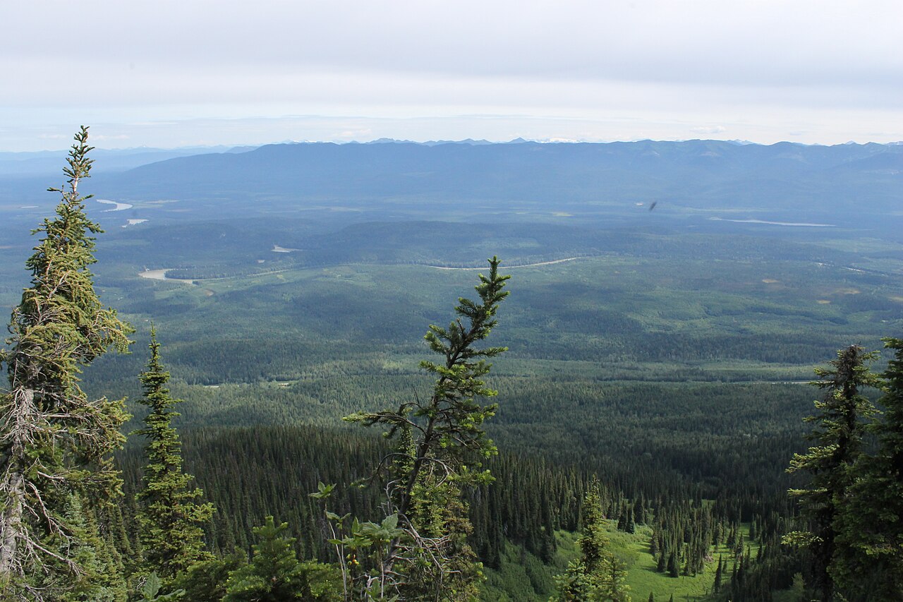
Photo credit
Sugarbowl - Grizzly Den Provincial Park and Protected Area.jpg · Newfoundlandguy · CC BY-SA 4.0 · Photographed Jul 4, 2015 · Wikimedia thumbnail downloaded; Wikimedia resized the original. Display may crop the view. Any adapted CC BY-SA version retains that image license.Sugarbowl–Grizzly Den
Sugarbowl Mountain
Steep north-slope climb reaches ridge and summit; Viking connector creates a longer traverse.
About 1 hr 4 min from PG13.4 km · round trip1,059 m gain6 - 8 hours
Photo credit
Sugarbowl - Grizzly Den Provincial Park and Protected Area.jpg · Newfoundlandguy · CC BY-SA 4.0 · Photographed Jul 4, 2015 · Wikimedia thumbnail downloaded; Wikimedia resized the original. Display may crop the view. Any adapted CC BY-SA version retains that image license.East / Sugarbowl-Grizzly Den
Sugarbowl summit
A sustained climb through forest reaches Sugarbowl’s ridge and open summit. Descend the same way for the summit outing; the onward Viking…
About 1 hr 4 min from PG18 km · round trip