Trail cleared to summit
The source reports clearing to the mountain top on May 9,2026.
Notice or observation: May 9, 2026 · Source checked October 17, 2026 · Caledonia Ramblers (opens original source)A short climb reaches the rim of an old volcanic landform, with a loop on top and views across the surrounding country. Recent logging has altered the entrance area, so some older roadside signs are unreliable.
Sources reviewed . This is a research date, not a trail inspection.
The locations GPX contains sourced points with their recorded roles. It contains no trail track or connecting route.
A full-route elevation profile is not available yet.
A reusable trail line has not yet been verified for this outing. Any location pin shows the published location described above; it does not draw the hike or establish a navigable approach.
Leave Highway 97 north for 100 FSR opposite the former Winton Globalmill reference, cross the railway and Crooked River, then continue roughly 2 km.
Turn left onto Davie/Crooked FSR and almost immediately right onto 6503 Road.
At 6511, take the left secondary road for about 1.5 km to the widened parking. The turn sign was reported missing in May 2025.
Parking: The May 2026 source describes a widened parking area and a small yellow hiker sign just left of the re-established trail through the logging berm.
From Highway 97 north take the 100 Forest Service Road opposite the former Winton Global mill reference. Cross the railway and Crooked River, continue roughly 2 km on the 100 Road, then turn left onto Davie/Crooked FSR and almost immediately right onto Road 6503. Follow 6503 to the 6511 junction and turn left onto the old secondary road, then continue about 1.5 km to the widened parking area. The yellow sign at the 6511 turn was reported missing in May 2025. At the walking start, a small yellow hiker sign was reported just left of the path in May 2026.
Modeled one-way driving time from Prince George City Hall, using mapped road speeds. Forest-road sections can take substantially longer: surface, clearance, radio procedures, gates, washouts, plowing, and legal access are not verified by the router. No live traffic or invented forest-road multiplier is included. Allow extra time and check the dated access notes. Seasonal access notes apply; this estimate does not establish plowing or winter road access.
Map position: 54.42137, -122.74437 · source-published trailhead (2021 trip report). Coffeepot trailhead: (54.421374 -122.744374). Hiker-recorded point from 21 August 2021. Current Ramblers directions describe the same eastern FSR approach but parking and road conditions may have changed.
Find the marked walking start at the berm and climb the flagged main route.
Follow the upper rim loop, then descend by the same approach.
Locate the re-established path through or beside the logging berm at the entrance and climb on the flagged main route. On top, follow the route around the volcanic rim, taking in the changing forest and views before returning down the approach. The listed 2.5 km outing includes a loop at the top; optional wandering outside that line changes the distance. A May 9, 2026 maintenance report says the trail was cleared to the summit and the parking area had expanded through logging. Treat those as dated landmarks and do not assume every ribbon or sign remains present. Identify the descent entrance before leaving the rim.
The listed 2.5 km outing includes the summit-area loop and the return descent.
2.5 km with loop on top
129 m
Club cleared trail to summit May 9, 2026. Logging enlarged parking; junction sign reported missing in 2025.
The source reports clearing to the mountain top on May 9,2026.
Notice or observation: May 9, 2026 · Source checked October 17, 2026 · Caledonia Ramblers (opens original source)The small sign at the 6503/6511 secondary-road turn was reported missing in May 2025; the trail-start sign is a separate landmark.
Notice or observation: 2025-05 · Source checked October 17, 2026 · Caledonia Ramblers (opens original source)These are dated research notes. Open the trip planner for current available weather and advisory feeds; no alert found does not establish that a trail or road is open.
On-route camping permission has not been established for this outing. Check the relevant land manager before planning an overnight stay; a mapped lake, cabin or previous tent location does not confirm permission.
A photograph with confirmed reuse permission has not yet been added to this guide.
These galleries stay on their photographers’ original websites.
Choose a trip pack or an available individual sheet for your map case.
Descriptions are written for this guide from the linked evidence. Source review dates, published reports and field observations can differ. Photographs and route lines retain their own attribution and reuse terms.
A lakeside camping base north of Prince George with beaches and several short forest walks. Livingston Springs is a longer separate outing whose winter approach changes when the…
Camping destination · access & overnight informationRead guide →A mostly level forest route in Crooked River Park leads to cool spring water that can remain open in winter. The springs are a wildlife-viewing destination, not a hot-spring…
Easy / About 9 km from summer parking or 10 km from the winter gate / Not established gainRead guide →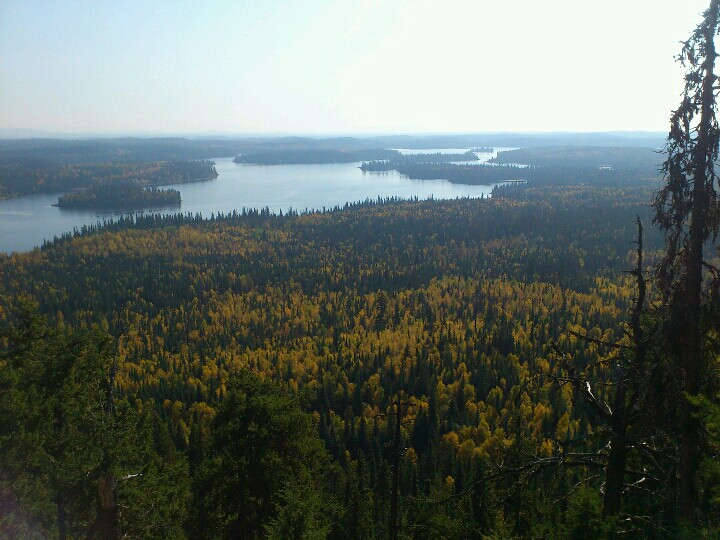 Photo: Andrew Kurjata · CC BY-NC-SA 2.0 · Noncommercial onlyViewpoints · Bear Lake & northern lakes
A compact volcanic summit outing with views around Summit Lake. The trail is being rerouted onto a longer, gentler ascent, so older distance estimates and track lines may describe…
Moderate / 2.8 km loop / 177 m gainRead guide →A historic portage crosses the divide between the Pacific and Arctic watersheds near Huble Homestead. It is a linear trail with separate northern and southern access points, so…
Easy / 8.5 km point to point / 120 m gainRead guide →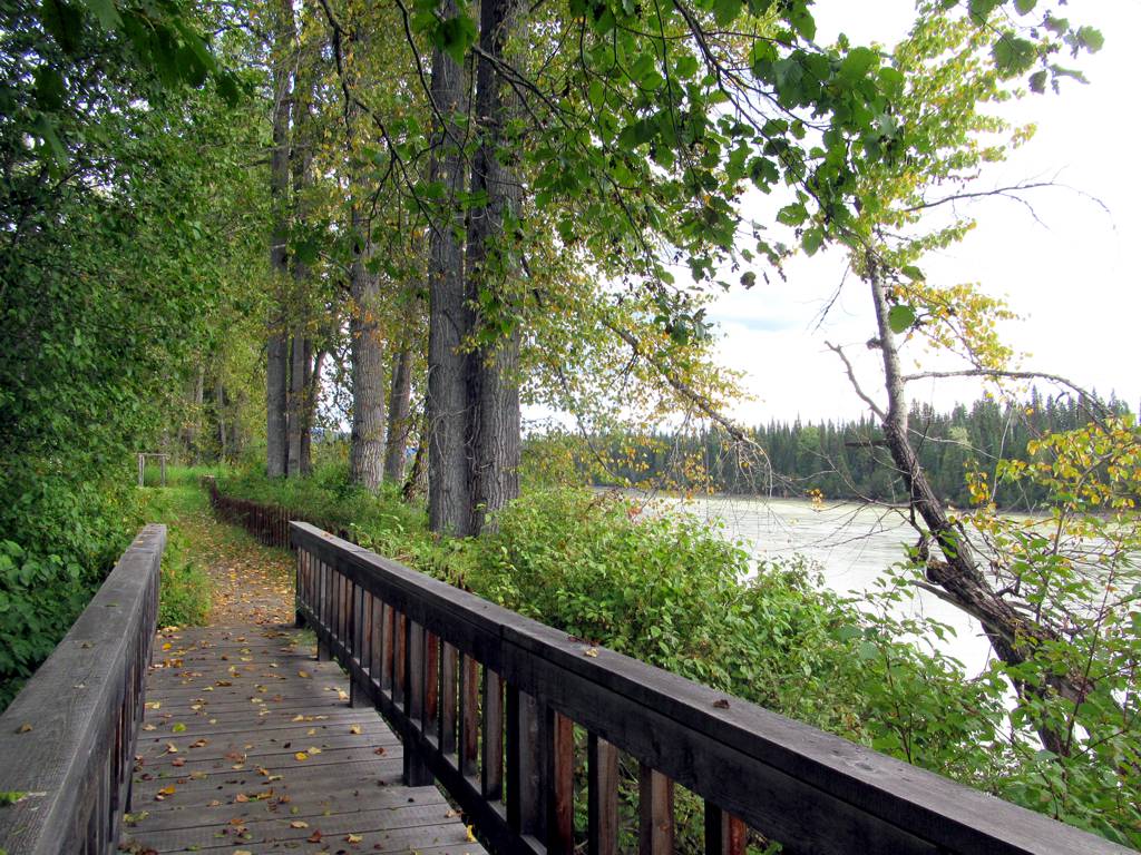 Photo: David Stanley from Nanaimo, Canada · CC BY 2.0Hikes · Bear Lake & northern lakes
A historic homestead visit combines restored buildings, riverside pastures and access to the Giscome Portage area. It is distinct from the longer portage traverse and from…
Easy / Variable trails/loops up to 4 kmRead guide → Photo: ₡ґǘșϯγ Ɗᶏ Ⱪᶅṏⱳդ · CC0 1.0Hikes · Bear Lake & northern lakes
A privately developed botanical park combines woodland walking, labelled plants and trees, gardens and an indoor naturalist collection. It is particularly suited to a slow…
3 km of trails · Choose your walking routeRead guide →