Hixon Falls
A short path leads into the Hixon Creek canyon to the lower waterfall. This is a useful stop on the Highway 97 corridor, with a separate short walk to Hixon Chutes nearby. Published waterfall heights differ substantially; the small walking distance is more useful for planning than those inconsistent height claims. Creekside rocks and a short eroded slope can make the last part less straightforward than the distance suggests.
Sources reviewed . This is a research date, not a trail inspection.
The locations GPX contains sourced points with their recorded roles. It contains no trail track or connecting route.
- Distance
- 0.24 kmRound trip
- Elevation gain
- Not establishedCumulative ascent for this outing has not been established.
- Walking time
- 30 min
- Difficulty
- EasyThere and Back
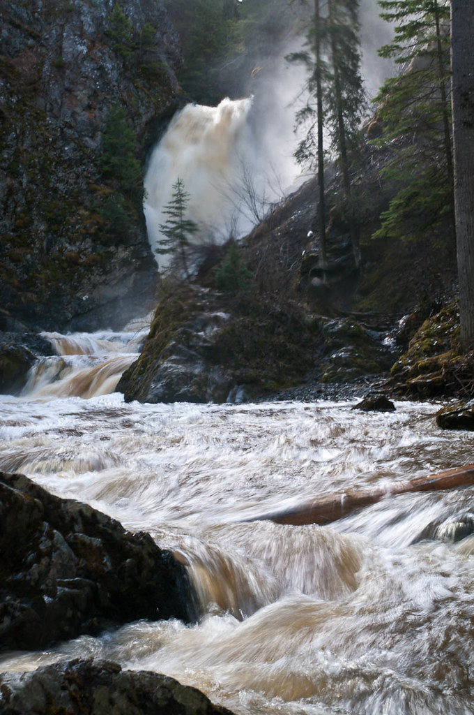
Map & elevation
Elevation profile
A full-route elevation profile is not available yet.
A reusable trail line has not yet been verified for this outing. Any location pin shows the published location described above; it does not draw the hike or establish a navigable approach.
Getting there & parking
From Prince George, follow Highway 97 south to Hixon and turn east onto Hixon Creek Road. The detailed August 2018 approach describes staying left at a fork 2 km from the highway, then turning left at a T-junction at about 3.8 km; the falls parking area is directly ahead. A later tourism brochure uses different distance increments, so identify the junctions and signed parking instead of relying on one odometer reading. The gravel road was narrow, potholed and exposed above drop-offs in the older report. Stop earlier if present conditions exceed your vehicle clearance and keep the access road clear.
Map position: 53.44832, -122.55967 · start point of published trip track (parking unverified). Embedded trip-map feature 'HixonFalls': first recorded coordinate [-122.559666, 53.448325]. Point extracted from the original public trip map. A track start is evidence of where recording began, not certification of parking, legal access, road suitability or the complete route.
On the trail
The path starts at the far end of the parking area and follows the creek into the canyon. Allow around ten minutes to reach the falls, with time for the same return. An August 2018 report describes a short descent and climb where a footbridge had failed; its present repair status is unconfirmed. The first view is partly screened by rock and vegetation. A closer view involved stepping across slippery creek rocks in that report, but crossing is optional and should be avoided in strong flow or poor footing. Return by the approach path; the Chutes outing starts from another parking area roughly 200 m back along the road.
Terrain: gravel.
Distance and elevation source notes
150 m
35 m (100 ft)
The club’s 35 m ascent and a separate 14 m track figure have different or unresolved measurement scopes. Neither is asserted as a surveyed return-trip ascent.
Conditions & seasons
A January 11, 2026 visitor report described breaking a snowshoe track to the lower falls. This establishes a winter visit, not maintained winter access or safe creek ice. Snow and ice can obscure the short banks and rock steps.
These are dated research notes. Open the trip planner for current available weather and advisory feeds; no alert found does not establish that a trail or road is open.
Camping & overnight plans
On-route camping permission has not been established for this outing. Check the relevant land manager before planning an overnight stay; a mapped lake, cabin or previous tent location does not confirm permission.
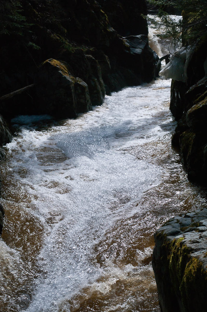
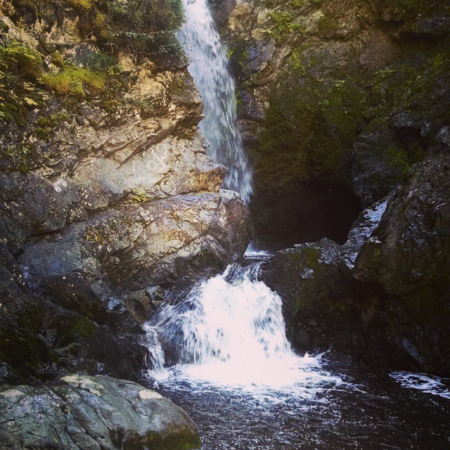
Photos of Hixon Falls
Original photo galleries
These galleries stay on their photographers’ original websites.
- Hixon Falls — Jack Bowling, August 2007 (opens original source) · Jack Bowling / Flickr
- Hixon Falls — norwester2009, July 2009 (opens original source) · norwester2009 / Flickr
- Hixon Falls in Hixon, BC — photographs and trip report (opens original source) · Hiking Prince George
Take this guide with you
Choose a trip pack or an available individual sheet for your map case.
Sources, dates & research notes
Descriptions are written for this guide from the linked evidence. Source review dates, published reports and field observations can differ. Photographs and route lines retain their own attribution and reuse terms.
- https://caledoniaramblers.ca/trails/hixon-falls (opens original source)
- https://hiking.princegeorge.tech/hixon-falls-bc/ (opens original source)
- https://ihikebc.com/trips/2018/trip139HixonFallsAndChutes.htm (opens original source)
- https://tourismpg.com/wp-content/uploads/2025/05/36970-PG-Waterfalls_Brochure-1.pdf (opens original source)
- https://hiking.princegeorge.tech/hiking-prince-george-south/ (opens original source)
Details still being researched
- gainM
- dogs
- accessibility
- camping
Nearby and related guides
- Camping · Hixon & Quesnel
Canyon Creek Campground and RV Park
Canyon Creek is a private campground in Hixon beside Canyon Creek and Hixon Creek. It offers tenting and RV stays as a base for short outings in the Highway 97 corridor. The…
Camping destination · access & overnight informationRead guide → - Walks · Hixon & Quesnel
Hixon Chutes
Hixon Chutes is the second short creek walk near Hixon Falls. Its destination is a constricted section of the gorge where the water funnels between rock walls. The path has more…
Read the access and route notesRead guide → - Hikes · Blackwater & southwest
Alexander Mackenzie Heritage Trail
Local day walks follow part of the much longer Nuxalk-Carrier Grease Trail through the Blackwater country. The historic route predates Alexander Mackenzie’s guided journey and…
Moderate / Variable, 3 to 16 km depending on trails takenRead guide → - Camping · Blackwater & southwest
Mackenzie Lakes recreation sites
Two small campsites serve connected fishing lakes southwest of Prince George. Despite the name, these are on the Blackwater road corridor, not in the town of Mackenzie.
Camping destination · access & overnight informationRead guide → - Hikes · Hixon & Quesnel
Coburn Trail
The Coburn trails near Red Rock combine forest walking with views from bluffs above the Fraser River. The easier published outing is an approximately 8 km loop with mostly level…
Moderate / up to 16 kmRead guide → - Viewpoints · Blackwater & southwest
Fort George Canyon
A forest walk descends from the plateau to a dramatic reach of the Fraser River that once challenged sternwheelers. The steepest work comes on the return climb from the river, and…
Moderate / 13.1 km round trip / 404 m gainRead guide →