Ancient Forest Universal Access Boardwalk
Accessible boardwalk through old cedars.
Sources reviewed . This is a research date, not a trail inspection.
- Distance
- 0.9 kmRound trip
- Elevation gain
- Approx. 30 mTerrain-model estimate; not a surveyed measurement.
- Walking time
- Not published
- Difficulty
- Not rated
one way; approximately 0.9 km returning along the same boardwalk The round-trip distance is calculated from the published one-way length.
How the elevation gain was established
Outing: out-and-back outing from Universal boardwalk entrance sign to End of the universal boardwalk and back; 0.90 km along the mapped itinerary
Copernicus DEM 2021 GLO-90 via Open-Meteo (90 m resolution). v7-smoothed-ascent-1: interpolate retained terrain samples at 100 m spacing; apply one triangular 1:2:1 smoothing pass over ±100 m; preserve start, finish and documented turnaround heights; sum uphill excursions with a 5 m reversal threshold; round to nearest 10 m.
Approximate terrain-model ascent, not a field or GPS measurement. Coarse cells and smoothing can miss small climbs, switchbacks, structures and sharp terrain. Processing sensitivity is not a statistical confidence interval.
Sources checked 2026-10-19.
Map & elevation
Elevation profile
Full round trip · approximately 0.9 km mapped
Approximate terrain elevation. Mapped distance may differ from the published hike distance.
Map and elevation sources
Approximate ground elevation from a 90 m terrain model. Distance follows the mapped itinerary and may differ from published walking distance. This is a terrain-model profile, not a surveyed measurement. Any ascent total is identified separately with its own source or estimation method.
BC Parks explicitly describes the universal access trail as 450 metres one way. The OSM feature named Universal Boardwalk measures 449.5 metres and runs from within 4 metres of the named entrance sign to its eastern end beside the separate Driscoll trail junction. The entire single named boardwalk is retained and the return retraces it; Driscoll Ridge, the waterfall network and parking connectors are not included. The boardwalk feature carries wheelchair=yes, surface=wood and bridge=boardwalk tags, but these are not a surveyed gradient or current maintenance assessment.
Route source 1Route source 2Route source 3Route source 4Copernicus GLO-90 terrain elevations via Open-Meteo (CC BY4.0); linework: Open Database License (ODbL) 1.0 · checked 2026-10-18 · CC BY4.0 elevation data; Open Database License (ODbL) 1.0 linework. Copernicus DEM 2021 GLO-90 via Open-Meteo. Linework source: https://www.openstreetmap.org/way/1289221674. Sampled and rounded for display.
Complete mapped outing from Universal boardwalk entrance sign, including the return on the same route. Line source (opens original source).
Getting there & parking
Drive east from Prince George on Highway 16 for about 115 km, or west from McBride for approximately 103 km, to the signed Ancient Forest/Chun T’oh Whudujut park entrance. Turn into the main visitor parking area on the south side of the highway. This is the boardwalk access; the separate Driscoll Ridge approach farther west serves a strenuous mountain route.
Map position: 53.76284, -121.21706 · historical published trailhead / parking area (2010). Ancient Cedar Forest parking lot: 53 45.7702 N, 121 13.0235 W (degrees and decimal minutes), PDF page 2. 2010 parking location. Park entrance has since been redeveloped; this marks the historical published access area, not a field-verified current parking bay. The tourism-hosted guide identifies itself as a research copy and says access, trails and amenities have not been updated. Coordinate provenance is verified; current access is not.
On the trail
Follow the universal-access boardwalk from the visitor area into the cedar forest. BC Parks describes this accessible section as approximately 450 m one way; returning on the same boardwalk is a longer total than that single-direction figure. Stay with the signed accessible section rather than assuming the entire waterfall and forest trail system has identical gradients or surfaces.
The way back
The universal-access boardwalk is about 450 m each way. Returning to the same start makes an approximately 900 m outing; the waterfall and longer forest branches are separate.
Terrain: rough route · boardwalk.
Accessibility
BC Parks explicitly identifies this 450 m boardwalk as universal access. Current obstructions or winter snow can change usable access.
Conditions & seasons
BC Parks describes winter snowshoeing on the forest boardwalk, with limited winter parking. Snow-covered boards and the availability of parking change the outing; the summer accessibility description does not guarantee a cleared winter surface.
Winter route
BC Parks describes snowshoe access on the forest boardwalk, with limited winter parking. A summer accessible-boardwalk designation does not establish a snow-cleared winter route.
These are dated research notes. Open the trip planner for current available weather and advisory feeds; no alert found does not establish that a trail or road is open.
Camping & overnight plans
Overnight camping is prohibited in both the Ancient Forest and Driscoll Ridge parking lots. BC Parks directs campers to Purden Lake, roughly 50 km west. Campfires are prohibited in the Ancient Forest park.
Photos of Ancient Forest Universal Access Boardwalk
A photograph with confirmed reuse permission has not yet been added to this guide.
Surrounding area and context
These photographs provide context; they do not establish the appearance of this selected route or facility.
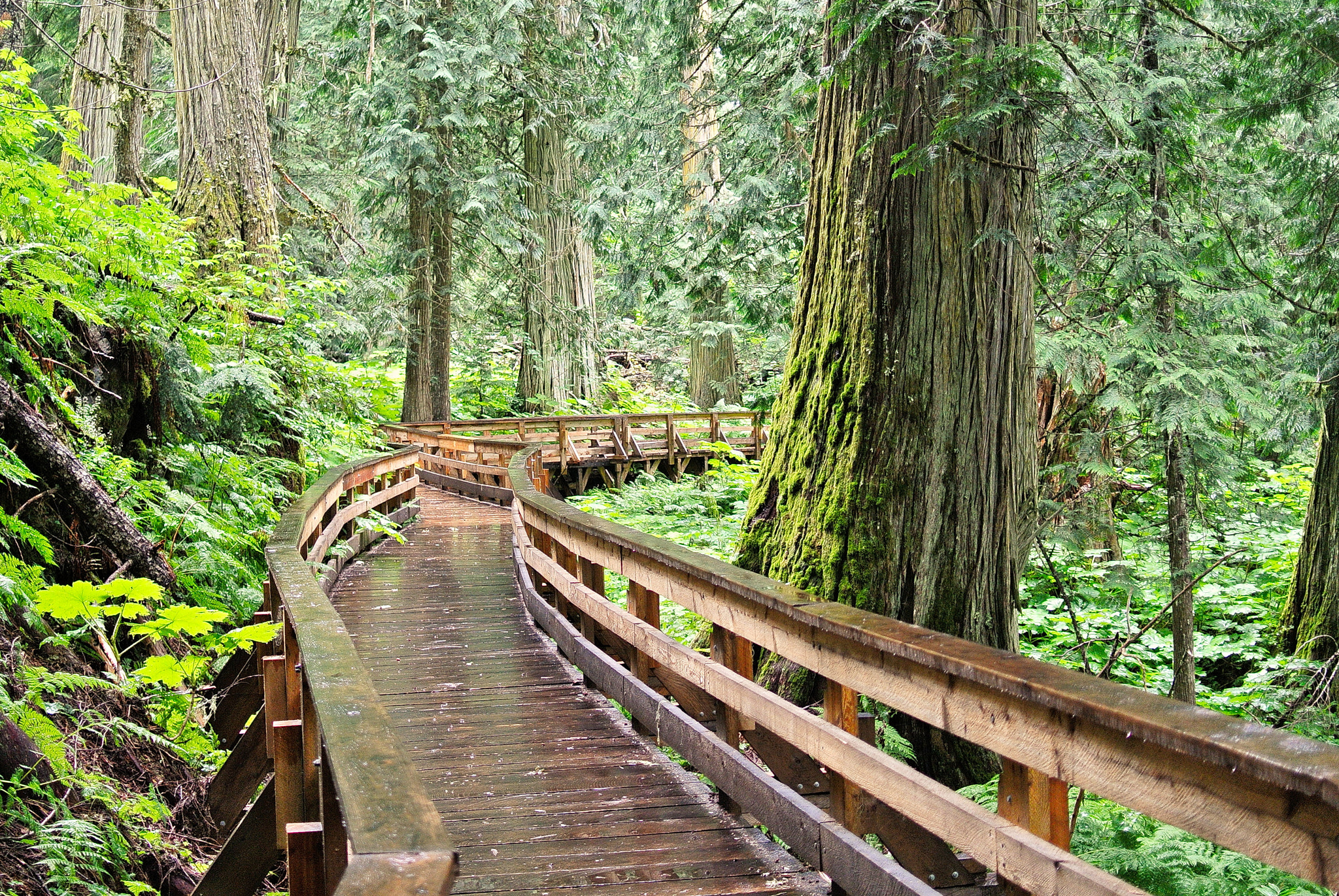
Take this guide with you
Choose a trip pack or an available individual sheet for your map case.
Sources, dates & research notes
Descriptions are written for this guide from the linked evidence. Source review dates, published reports and field observations can differ. Photographs and route lines retain their own attribution and reuse terms.
- https://bcparks.ca/ancient-forest-chun-toh-whudujut-park/ (opens original source)
- https://mcbridetourism.ca/wp-content/uploads/McBrides-Green-Guide.pdf (opens original source)
- https://caledoniaramblers.ca/trails/ancient-forest (opens original source)
- https://open-meteo.com/en/licence (opens original source)
- https://open-meteo.com/en/docs/elevation-api (opens original source)
OpenStreetMap line references (3)
These contributor-mapped features support the map geometry. They are separate from the written access and route sources.
Nearby and related guides
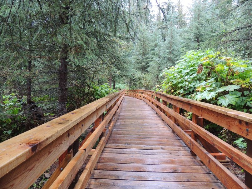 Photo: Kevin M Klerks from Kincardine, Canada · CC BY 2.0Waterfalls · Upper Fraser & Sugarbowl
Ancient Forest
Cedar-forest paths include a waterfall and an accessible boardwalk; the accessible section needs separate length and grade data.
Easy / 2.4 km · trip basis unconfirmed / Not established gainRead guide →- Photo: Gord Schindell · CC BY 3.0Waterfalls · Upper Fraser & Sugarbowl
Ancient Forest Boardwalk Trail
Forest boardwalk reaches large trees and waterfall.
2.3 km · trip basis unconfirmedRead guide → - Hikes · Upper Fraser & Sugarbowl
East Driscoll Trail
Climb from cedar forest into open ridge glades on the east side of Driscoll Mountain. Choose a ridge or summit turnaround in advance; the rough west-ridge connection requires a…
Hard / 19 km round tripRead guide → - Hikes · Upper Fraser & Sugarbowl
Driscoll Ridge
Ridge loop south of park.
Hard / 15.5 km loopRead guide → - Hikes · Upper Fraser & Sugarbowl
West Driscoll Ridge
West and East Driscoll approaches join on ridge; summit return and crossover need separate distances.
Hard / 15 km round trip / 1,065 m gainRead guide → - Hikes · Upper Fraser & Sugarbowl
Red Mountain Cabin
Forest climb to renovated cabin; metrics depend strongly on starting point.
Hard / 25 km round trip / 900 m gainRead guide →