Red Mountain Cabin
Forest climb to renovated cabin; metrics depend strongly on starting point.
Sources reviewed . This is a research date, not a trail inspection.
- Distance
- 25 kmRound trip
- Elevation gain
- 900 mPublished route measurement
- Walking time
- ~3 to 6 hoursto cabin depending on pace, trail conditions and where you start from.
- Difficulty
- HardThere and Back
Map & elevation
Elevation profile
Full round trip · approximately 24.0 km mapped
Approximate terrain elevation. Mapped distance may differ from the published hike distance.
Map and elevation sources
Approximate ground elevation from a 90 m terrain model. Distance follows the mapped itinerary and may differ from published walking distance. This is a terrain-model profile, not a surveyed measurement. Any ascent total is identified separately with its own source or estimation method.
The cabin steward publishes approximate Penny trailhead and cabin coordinates. The old retained footpath omitted the short village approach. Fresh OSM data identify a named Red Mountain Road segment whose last vertex exactly equals the trail start; the full road segment is prepended. Its village endpoint is about 31 m from the steward trailhead coordinate, while the retained cabin endpoint is about 13 m from the steward cabin coordinate. This gives the full village-start outing and retraced return. The mapped total is about 24 km and is kept distinct from the published 25 km estimate. It is not the shorter forest-road access option. The source coordinates do not certify exact parking or current village access.
Route source 1Route source 2Route source 3Route source 4Route source 5Copernicus GLO-90 terrain elevations via Open-Meteo (CC BY4.0); linework: Open Database License (ODbL) 1.0 · checked 2026-10-18 · CC BY4.0 elevation data; Open Database License (ODbL) 1.0 linework. Copernicus DEM 2021 GLO-90 via Open-Meteo. Linework source: https://www.openstreetmap.org/way/773730926. Sampled and rounded for display.
Complete mapped outing from Penny village trailhead; mapped Red Mountain Road entrance nearby, including the return on the same route. Line source (opens original source).
Getting there & parking
For the official Penny start, leave Highway 16 east of Prince George on Upper Fraser Road, around highway kilometre 18.5 in the club’s directions. Follow Upper Fraser about 60.7 km, turn left at the McGregor/Upper Fraser junction and continue about 1.5 km, then turn left to cross the Fraser bridge. Roughly 400 m beyond the bridge, turn right onto Church Forest Service Road. Continue along the main connection through Longworth Road and Upper Fraser Road; the guide describes a further 13.3 km section before the road again becomes Longworth, then Grey Road after about 2.2 km. Follow Grey Road about 1.2 km and take the first left beyond the curve. Continue 5.3 km to a junction, turn right for another 11 km to Penny Road, then turn left for about 1.1 km to the old post office and Red Mountain Lake trail sign. These are published forest-road instructions, so match the changing road names and junctions to a current map and signs. The unofficial higher start near Fraser Flats Forest Service Road kilometre 13.5 is a different parking choice that shortens the walk; its exact pullout and current access need local confirmation.
Modeled one-way driving time from Prince George City Hall, using mapped road speeds. Forest-road sections can take substantially longer: surface, clearance, radio procedures, gates, washouts, plowing, and legal access are not verified by the router. No live traffic or invented forest-road multiplier is included. Allow extra time and check the dated access notes. Seasonal access notes apply; this estimate does not establish plowing or winter road access.
Map position: 53.85522, -121.26166 · source-published trailhead / parking waypoint. Embedded trip-map feature 'Trailhead on Fraser Flats': point [-121.261661, 53.855222]. Named access waypoint extracted from the original public trip map. Current road/parking conditions and legal access still require checking.
- Trail access · 53.90658, -121.41826. Named point on source trip map; position and feature type retained as factual observations. Location source (opens original source)
- Trail access · 53.85522, -121.26166. Named point on source trip map; position and feature type retained as factual observations. Location source (opens original source)
On the trail
The steward reports the Red Mountain Creek bridge around trail kilometre 2.5 is being replaced. Confirm crossing status before departure.
Full route notes
Choose the starting point before applying a distance: the official village start is by Penny’s old post office and the Red Mountain sign, while the higher unofficial start around Fraser Flats Road kilometre 13.5 avoids roughly the first 4 km. The trail climbs through low forest and large old cedars, then spruce and subalpine fir, with intermittent views over the Robson Valley. Continue to the cabin overlooking the valley between Red and Green mountains and return by the same approach. Published one-way distances are roughly 12.5 km from Penny or 8.5 km from the forest road. Brush and fallen trees can interrupt the tread. The cabin was refurbished in 2022; that is a historical facility report rather than a guarantee of present condition.
The way back
Return to the start you used. The source gives about 12.5 km each way from Penny, or 8.5 km each way from Fraser Flats FSR; these correspond to roughly 25 km and 17 km return trips, respectively.
Distance and elevation source notes
12.5 km to cabin from the post office at Penny. ~8.5 km to the cabin from Fraser Flats FSR.
900 m
Source comparison: Penny post-office approach; 12.5 km; to cabin scope. This is another description of the main outing, a duplicate endpoint, an unscoped source claim, or a related facility.
Source comparison: Fraser Flats approach; 8.5 km; to cabin scope. This is another description of the main outing, a duplicate endpoint, an unscoped source claim, or a related facility.
Source comparison: Penny post office to cabin; 25 km; 900 m ascent; 3–6 hours one way depending on start and pace duration; return; 12.5 km one way scope. This is another description of the main outing, a duplicate endpoint, an unscoped source claim, or a related facility.
Conditions & seasons
The selected start and forest-road access change the total approach substantially. The reviewed text does not establish an independently marked winter route or winter vehicle access to the higher start.
Winter route
The steward gives five to ten hours one way in winter, versus three to eight hours in summer. Upper-route markers may disappear under snow; allow time to locate and dig out the cabin.
These are dated research notes. Open the trip planner for current available weather and advisory feeds; no alert found does not establish that a trail or road is open.
Camping & overnight plans
Staying at Red Mountain Cabin
Booking information confirmed · Published capacity: 6
Reserve before staying. The Penny approach is 12.5 km each way. The operator flags bridge replacement at kilometre 2.5 and difficult winter navigation; check access updates before travelling.
Check bookings with Prince George Backcountry Recreation Society ↗Cabin sources · checked 2026-10-19
Confirm cabin booking and current use rules before staying overnight. The source describes a small creek reached by a path behind and to the left of the cabin when facing its front; the collection pipe may need priming in low water. Treat the water and do not depend on a functioning pipe or unattended supplies.
Photos of Red Mountain Cabin
A photograph with confirmed reuse permission has not yet been added to this guide.
Original photo galleries
These galleries stay on their photographers’ original websites.
- Red Mountain Weekend August 5, 2023 (opens original source) · Caledonia Ramblers
- Red Mountain Trail in Penny BC — photographs and trip report (opens original source) · Hiking Prince George
Take this guide with you
Choose a trip pack or an available individual sheet for your map case.
Sources, dates & research notes
Descriptions are written for this guide from the linked evidence. Source review dates, published reports and field observations can differ. Photographs and route lines retain their own attribution and reuse terms.
- https://caledoniaramblers.ca/trails/red-mountain-cabin (opens original source)
- https://delivery.maps.gov.bc.ca/arcgis/rest/services/mpcm/bcgwpub/MapServer/404 (opens original source)
- https://www.pgbrs.org/farm-cabin/ (opens original source)
- https://hiking.princegeorge.tech/red-mt-trail-penny-bc/ (opens original source)
- https://routing.openstreetmap.de/about.html (opens original source)
- https://hiking.princegeorge.tech/hiking-prince-george-east/ (opens original source)
- https://www.pgbrs.org/cabins-bookings/red-cabin/ (opens original source)
- https://www.pgbrs.org/maps-info/ (opens original source)
OpenStreetMap line references (2)
These contributor-mapped features support the map geometry. They are separate from the written access and route sources.
Nearby and related guides
- Hikes · Upper Fraser & Sugarbowl
Driscoll Ridge
Ridge loop south of park.
Hard / 15.5 km loopRead guide → - Hikes · Upper Fraser & Sugarbowl
West Driscoll Ridge
West and East Driscoll approaches join on ridge; summit return and crossover need separate distances.
Hard / 15 km round trip / 1,065 m gainRead guide → - Hikes · Upper Fraser & Sugarbowl
East Driscoll Trail
Climb from cedar forest into open ridge glades on the east side of Driscoll Mountain. Choose a ridge or summit turnaround in advance; the rough west-ridge connection requires a…
Hard / 19 km round tripRead guide → 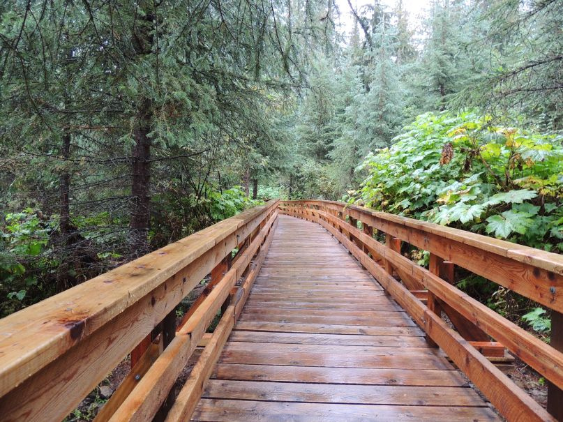 Photo: Kevin M Klerks from Kincardine, Canada · CC BY 2.0Waterfalls · Upper Fraser & Sugarbowl
Ancient Forest
Cedar-forest paths include a waterfall and an accessible boardwalk; the accessible section needs separate length and grade data.
Easy / 2.4 km · trip basis unconfirmed / Not established gainRead guide →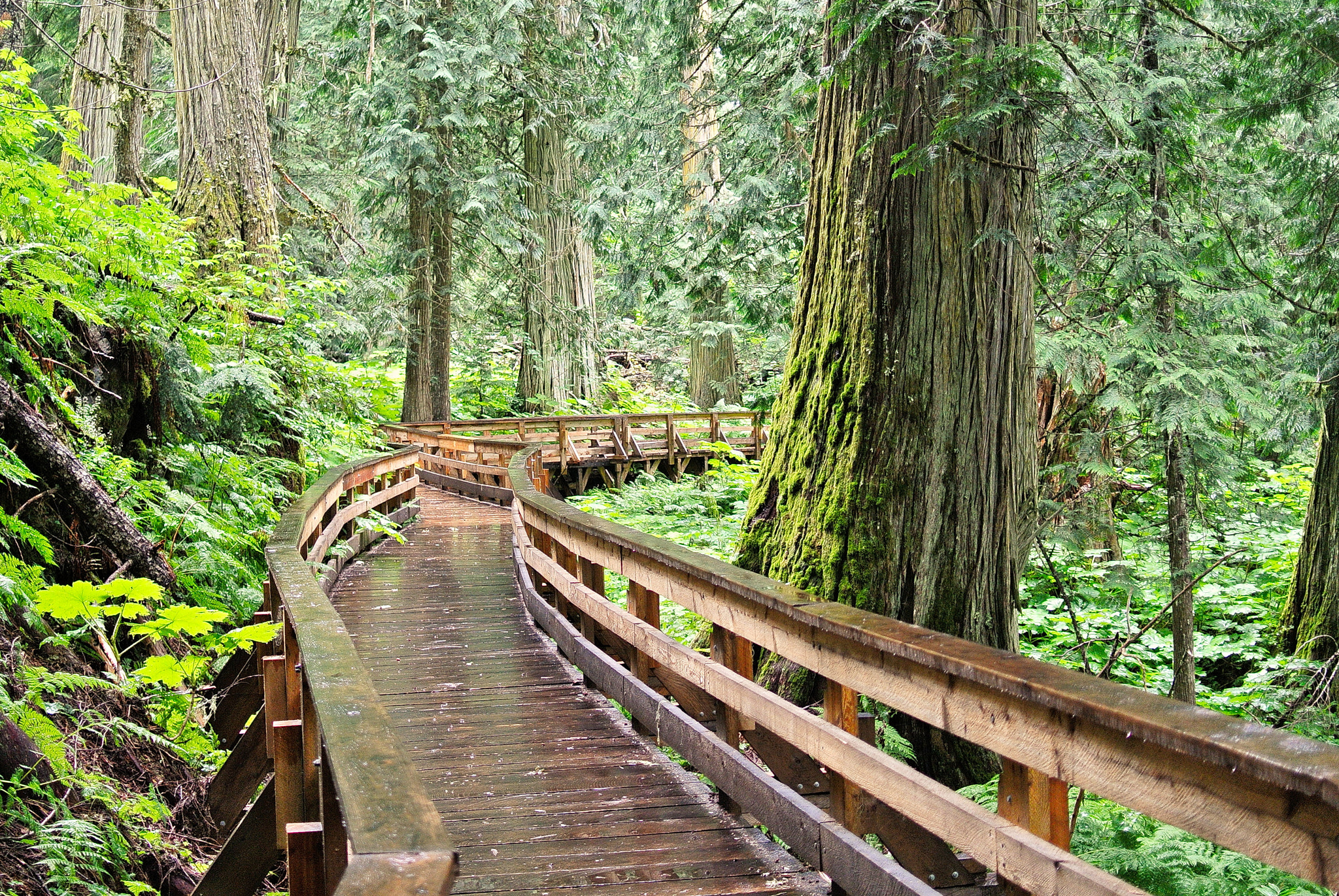 Photo: Gord Schindell · CC BY 3.0Waterfalls · Upper Fraser & Sugarbowl
Ancient Forest Boardwalk Trail
Forest boardwalk reaches large trees and waterfall.
2.3 km · trip basis unconfirmedRead guide →- Walks · Upper Fraser & Sugarbowl
Ancient Forest Universal Access Boardwalk
Accessible boardwalk through old cedars.
0.9 km round trip / Approx. 30 m gain · terrain estimateRead guide →