Upper Fraser & Sugarbowl
Follow Highway 16 east from Prince George toward the Upper Fraser valley, Ancient Forest and Sugarbowl–Grizzly Den country. The same corridor offers low-elevation forest walks and strenuous mountain routes; check the selected approach, forest-road access and seasonal conditions.
49 of 49 places
Open map search →- hike · Upper Fraser & Sugarbowl
Tabor Mountain
A large recreation network east of Prince George offers forest loops, ski trails and several shelters. A named loop and its entrance are the useful planning unit; the mountain…
Moderate · Varies by trails takenRead guide → - hike · Upper Fraser & Sugarbowl
Birchleg Trail
A forest loop on the north side of Tabor Mountain links named shelters and the Hickory Wing trail. Junction maps allow longer outings, so the published 10 km loop should be kept…
Moderate · 10 km loop · 4 hoursAbout 22 min drive from PGRead guide → - hike · Upper Fraser & Sugarbowl
Willow River Interpretive Trail
A short interpretive outing off Highway 16 east of Prince George. The published entry identifies access and basic trip figures, but its detailed walking description remains…
Moderate · 2 - 3 hoursRead guide → - camping · Upper Fraser & Sugarbowl
Willow North recreation site
A small riverside tenting stop close to Highway 16, reached by a short forest-road spur beside the Willow River.
Camping destination · access & overnight informationRead guide → - walk · Upper Fraser & Sugarbowl
Harold Mann Regional Park
Creek, marsh and Eaglet Lake paths for wildlife watching.
Read the approach and route notesRead guide → 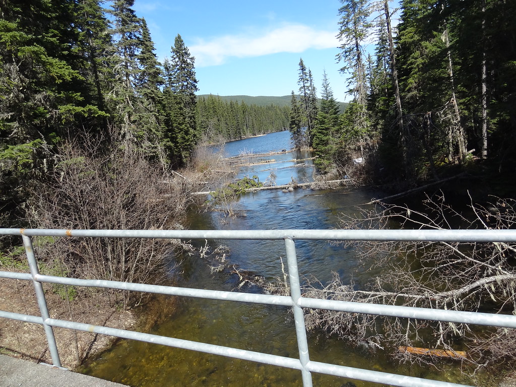 Photo: Andrew Kurjata · CC BY-NC-SA 2.0 · Noncommercial onlywalk · Upper Fraser & Sugarbowl
Purden Lake lakeside trails
Shoreline walking paths.
EasyRead guide →- Photo: Andrew Kurjata · CC BY-NC-SA 2.0 · Noncommercial onlyhike · Upper Fraser & Sugarbowl
Purden Lake
North-shore trail follows lake edge with roots and boardwalks; camping is available in the park subject to operator rules.
Easy · 12.2 km round trip · 3-5 hoursRead guide → - camping · Upper Fraser & Sugarbowl
Purden Lake campground
Highway 16, approximately 64 km east of Prince George.
Camping destination · access & overnight informationRead guide → - camping · Upper Fraser & Sugarbowl
Amanita Lake recreation site
A small tent-friendly lake campground on the Upper Fraser forest-road network, with a swimming beach and dock.
Camping destination · access & overnight informationRead guide → - hike · Upper Fraser & Sugarbowl
Sugarbowl ridge
A steep forest climb reaches Sugarbowl’s open subalpine ridge, with a shorter turnaround than the summit outing. The upper ridge needs careful navigation when cloud hides the…
10 km round tripAbout 64 min drive from PGRead guide → 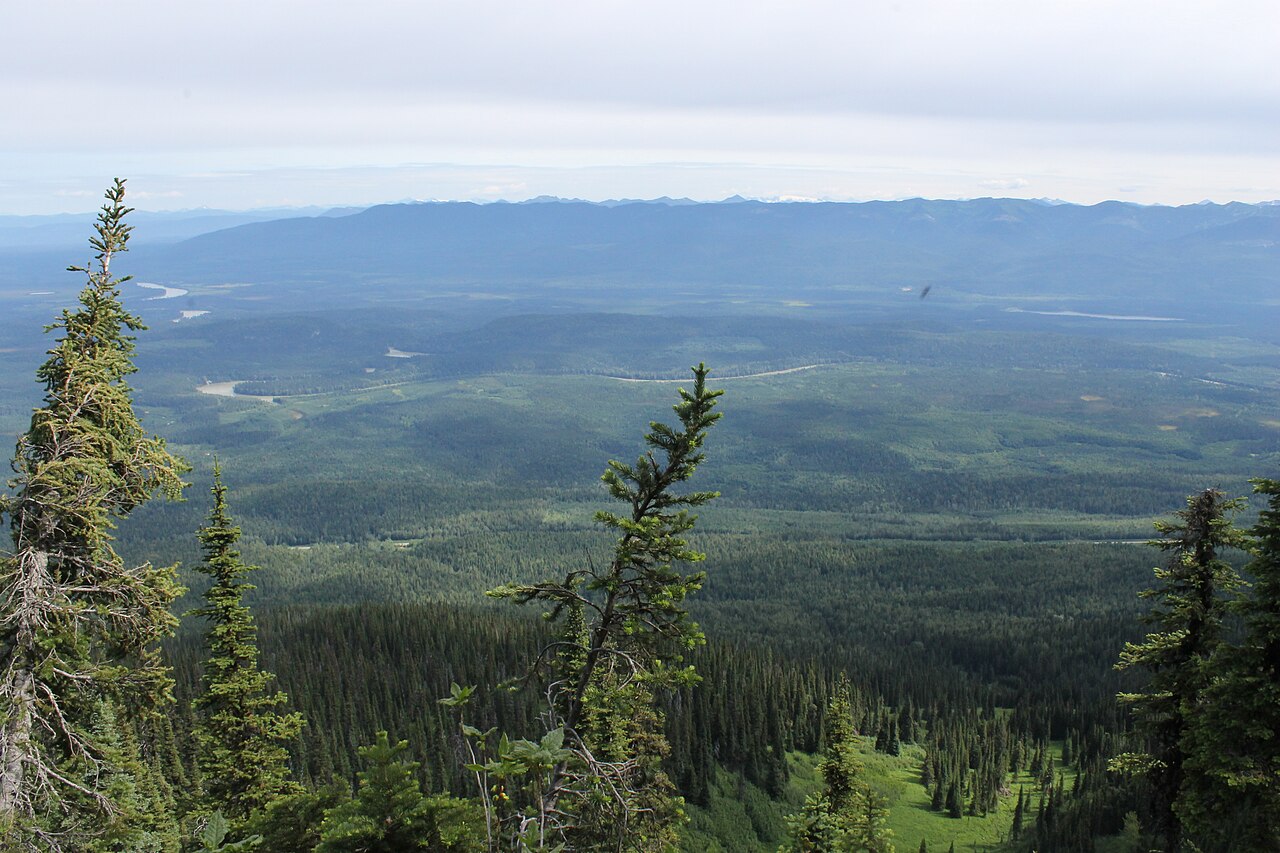 Photo: Newfoundlandguy · CC BY-SA 4.0hike · Upper Fraser & Sugarbowl
Sugarbowl Mountain
Steep north-slope climb reaches ridge and summit; Viking connector creates a longer traverse.
Hard · 13.4 km round trip · 1,059 m gain · 6 - 8 hoursRead guide →- Photo: Newfoundlandguy · CC BY-SA 4.0hike · Upper Fraser & Sugarbowl
Sugarbowl summit
A sustained climb through forest reaches Sugarbowl’s ridge and open summit. Descend the same way for the summit outing; the onward Viking connection finishes at a different…
Hard · 18 km round tripAbout 64 min drive from PGRead guide → - hike · Upper Fraser & Sugarbowl
Grand Canyon of the Fraser
A seasonal backcountry approach reaches the Fraser canyon near Kenneth Creek. The winter route and an overgrown summer approach begin at different highway locations, and neither…
Moderate · 11 km round trip · 5-7 hoursRead guide → - hike · Upper Fraser & Sugarbowl
Viking Lake
The Viking approach climbs through forest and the wet Caribou Meadows before reaching a small lake below the summit. This outing turns at the lake and returns by the same trail.
11 km round tripAbout 69 min drive from PGRead guide → - hike · Upper Fraser & Sugarbowl
Viking meadows
Turn around at Caribou Meadows on the lower part of the Viking route, before the lake and summit. The forest approach still involves a substantial climb, followed by wet meadow…
6 km round tripAbout 69 min drive from PGRead guide → - hike · Upper Fraser & Sugarbowl
Viking Ridge
Climbs through Caribou Meadows to lake and ridge; rough connector to Sugarbowl is a separate traverse.
Hard · 14 km round trip · 1,110 m gain · 6 - 8 hoursRead guide → - hike · Upper Fraser & Sugarbowl
Viking summit
Climb through forest, Caribou Meadows and the lake basin before tackling Viking’s less clearly marked upper slopes. Return by the same approach; lingering snow and poor visibility…
Hard · 13 km round tripAbout 69 min drive from PGRead guide → - hike · Upper Fraser & Sugarbowl
Viking–Sugarbowl traverse
Link the Viking and Sugarbowl routes on a mountain traverse between two Highway 16 trailheads. The rough connecting ground needs careful navigation, and the finish requires…
Read the approach and route notesRead guide → - hike · Upper Fraser & Sugarbowl
Raven Lake cabin
Climb through the forest into Raven Lake’s subalpine basin, where the lakeside cabin is the usual turnaround. Return by the same trail; ridge trips and the Grizzly Den crossover…
Moderate · 10 km round trip · 522 m gain · 3–4 hours one way to the cabinAbout 108 min drive from PGRead guide → - hike · Upper Fraser & Sugarbowl
Raven Lake/Grizzly Den Crossover
Alpine connection through Pat’s Pass joins Grizzly Den and Raven Lake; Leprechaun Ridge and Raven Peak are optional harder variants.
Hard · 18 km loop · 750 m gain · 7 - 12 hoursRead guide → - hike · Upper Fraser & Sugarbowl
Grizzly Den
Climbs past 8-Mile Cabin toward Grizzly Den Cabin; Leprechaun Ridge branches off as a separate harder variant.
Moderate · 12 km round trip · 600 m gain · 4-5 hoursAbout 102 min drive from PGRead guide → - hike · Upper Fraser & Sugarbowl
Grizzly Den peak
Continue beyond Grizzly Den Cabin for a longer mountain outing above the forest and wet meadows. The summit needs its own navigation plan and adds substantial travel to the cabin…
18 km round tripAbout 102 min drive from PGRead guide → - cabin · Upper Fraser & Sugarbowl
8-Mile Cabin
A short summer forest walk to a rustic six-person cabin on the Grizzly Den approach. Winter access adds the unplowed forest road.
Easy · 1.5 km round trip · 90 m gain · About 1.5 hours returnRead guide → - viewpoint · Upper Fraser & Sugarbowl
Longworth Lookout
Steep ascent to ridge and renovated lookout; source reports no summer water near cabin.
Hard · 16 km round trip · 3–5 hours to the cabin in summer; return additional. Winter approach: 5–8+ hours.About 100 min drive from PGRead guide →