Connaught Hill Park
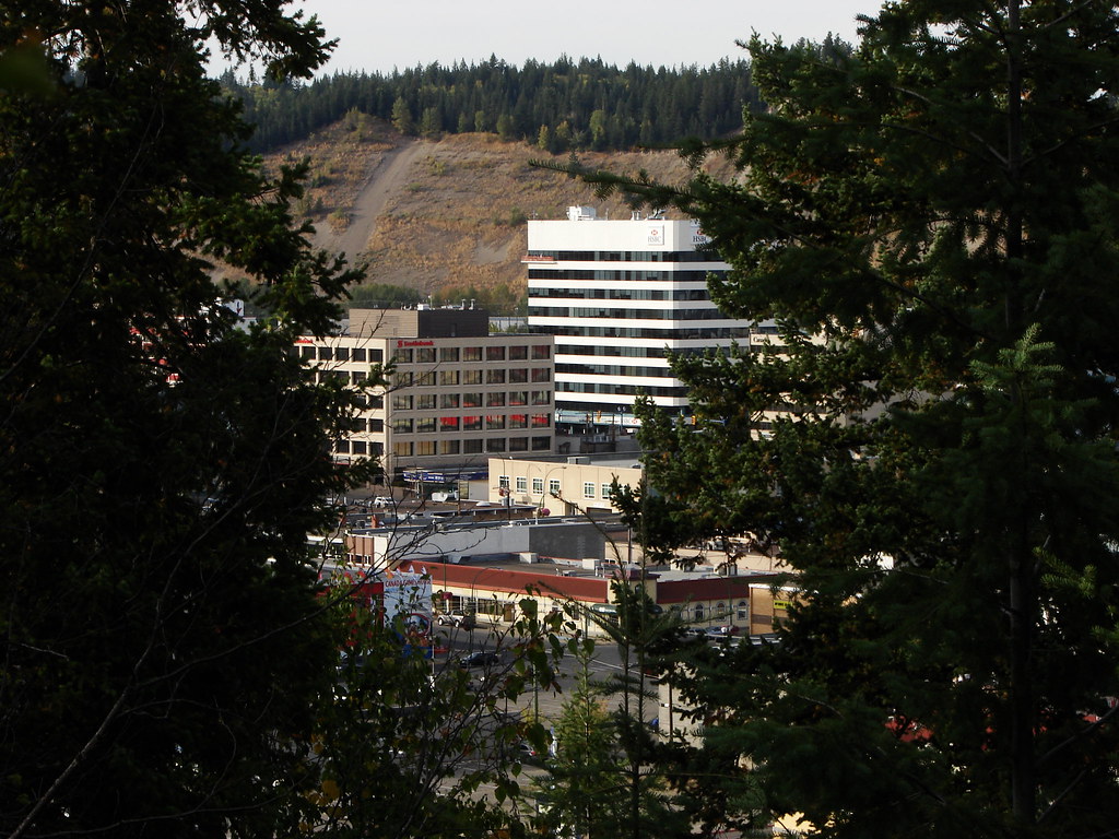
A landscaped hilltop park with broad city views, flower beds and picnic space. Walking approaches include stairs and a trail, while a seasonal vehicle road provides a different way to reach the top.
Sources reviewed . This is a research date, not a trail inspection.
- Distance
- Not publishedTrip basis unconfirmed
- Elevation gain
- Not establishedCumulative ascent for this outing has not been established.
- Walking time
- Not published
- Difficulty
- Not rated
Map & elevation
Partial elevation profile
Mapped portion · walking direction unconfirmed · 0.30 km
This chart covers only part of the route. It does not establish the full hike or a return journey.
Coverage and elevation sources
0.30 km along source section 1 of 1, in its mapped direction. Approximate 90 m terrain model along this mapped section. Separate sections are not joined. This chart does not measure total trail ascent or establish current access; use the guide’s published outing measurements.
Copernicus GLO-90 terrain elevations via Open-Meteo (CC BY4.0); linework: Open Government Licence – City of Prince George · checked 2026-10-18 · CC BY4.0 elevation data; Open Government Licence – City of Prince George linework. Copernicus DEM 2021 GLO-90 via Open-Meteo. Linework source: https://services2.arcgis.com/CnkB6jCzAsyli34z/ArcGIS/rest/services/OpenData_ParkData/FeatureServer/7. Sampled and rounded for display.
City mapped trail segments / park network; not a single measured hiking itinerary. Line source (opens original source).
Getting there & parking
Navigate to 1112 Connaught Drive. The park can be entered by the vehicle loop road, stairs or footpath. Vehicle access is seasonal and weather-dependent; the City gives slightly different spring opening descriptions, so use the sign at the gate as the current authority. Published gate hours are 8 am–9 pm from April through August and 8 am–7:30 pm in September and October.
Open published address: 1112 Connaught Drive →
Map position: 53.91084, -122.74842 · park reference point derived inside official boundary. Official City ParkName=Connaught Hill Park; OBJECTID=1354; active park polygon. Marker computed inside its largest polygon, checked against exterior and holes. Park location marker for orientation; not a source-published parking point or trailhead. Neighbourhood park existence does not establish a named hiking route.
On the trail
Choose a walking approach appropriate to your mobility and follow it to the landscaped summit area. Paths connect the pergola, flower beds and benches around the panorama, making it easy to combine a short walk with a picnic. The pergola area has concrete paths, railings and a wheelchair-accessible drop-off area, but those features do not mean the stair approach is accessible. Return by your chosen entrance before vehicle gates close if you parked inside. The park is pet-free, and the parking area is not maintained through winter.
Accessibility
Pergola area has wheelchair access and a dedicated drop-off zone; hillside stair routes are not wheelchair routes.
Conditions & seasons
Vehicle access is normally available during the warmer months through October 31, weather permitting. The City lists spring opening as either mid-April or May 1; check the posted gate information. Parking is not maintained in winter.
Winter route
The parking area is not maintained in winter. The City gives differing mid-April and May opening references, so use the posted gate notice.
These are dated research notes. Open the trip planner for current available weather and advisory feeds; no alert found does not establish that a trail or road is open.
Camping & overnight plans
On-route camping permission has not been established for this outing. Check the relevant land manager before planning an overnight stay; a mapped lake, cabin or previous tent location does not confirm permission.
Photos of Connaught Hill Park
Original photo galleries
These galleries stay on their photographers’ original websites.
- Centennial Trail riverside section and Connaught Hill — May 2019 photo report (opens original source) · Dave and Kathy Scranton
Take this guide with you
Choose a trip pack or an available individual sheet for your map case.
Sources, dates & research notes
Descriptions are written for this guide from the linked evidence. Source review dates, published reports and field observations can differ. Photographs and route lines retain their own attribution and reuse terms.
- https://www.princegeorge.ca/parks-recreation/parks-trails/connaught-hill-park (opens original source)
- https://services2.arcgis.com/CnkB6jCzAsyli34z/ArcGIS/rest/services/OpenData_ParkData/FeatureServer/12 (opens original source)
Details still being researched
- gainM
- distanceKm
- camping
Nearby and related guides
- Walks · Prince George
Duchess Park
A neighbourhood park with lit multi-use paths, an accessible playground and a separate fenced dog area. It fits a short stroll or family stop rather than a remote hiking itinerary.
Read the access and route notesRead guide → - Walks · Prince George
Centennial Connector Trail
A long urban circuit links the river parks, Moore’s Meadow and the university hillside around the Prince George Bowl. It combines paths and sidewalks, with one substantial hill…
30 km of trails · Choose your walking routeRead guide → 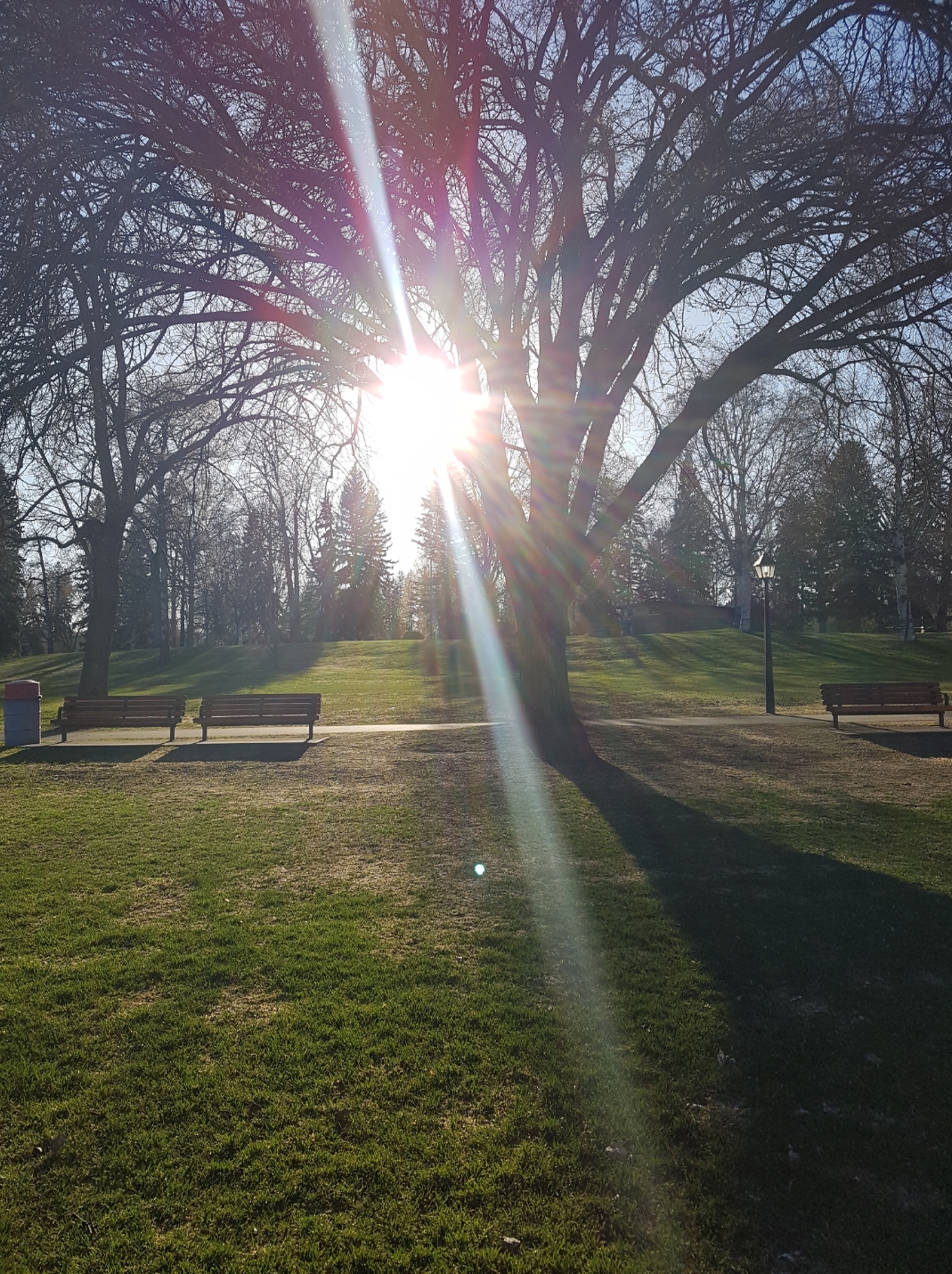 Photo: Arenity · CC BY-SA 4.0Walks · Prince George
Lheidli T’enneh Memorial Park
A major Fraser River park combines paved paths, gathering spaces and family facilities on the site of a former Lheidli village. An active Lheidli T’enneh cemetery remains within…
Read the access and route notesRead guide →- Walks · Prince George
Millar Addition–Fraser River Loop
A mostly level paved city loop combines the Millar Addition neighbourhood with the Fraser River park area. It is suited to a steady urban walk with access to picnic and toilet…
4.2 km loopRead guide → 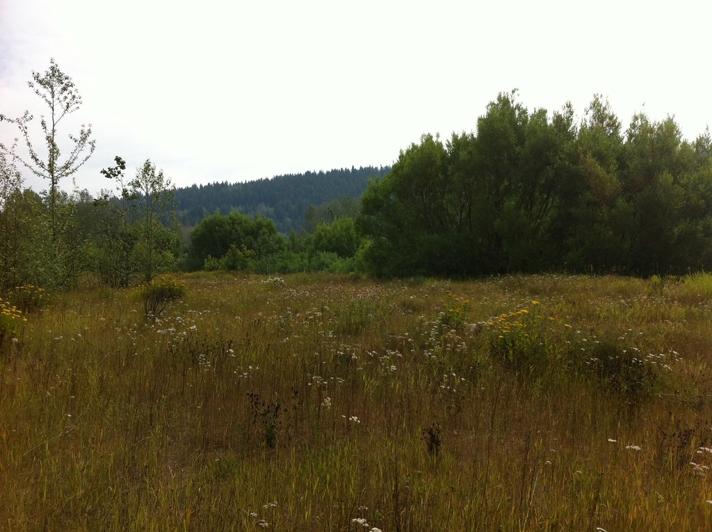 Photo: Andrew Kurjata · CC BY-NC-SA 2.0 · Noncommercial onlyWalks · Prince George
Hudson’s Bay Wetland Nature Park
A short wetland walk near the Fraser River combines viewing platforms and interpretation with convenient city-park connections. It can be visited on its own or as part of the…
1.8 km · trip basis unconfirmedRead guide →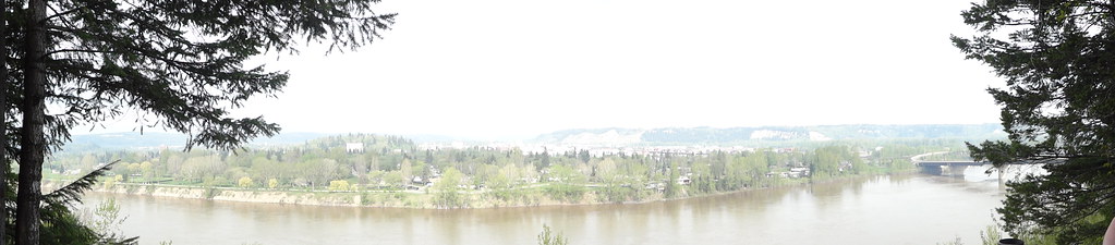 Photo: Andrew Kurjata · CC BY-NC-SA 2.0 · Noncommercial onlyWalks · Prince George
LC Gunn Park
An elevated walk above the Fraser River links LC Gunn Park with the cutbank corridor toward the Simon Fraser Bridge. Viewpoints reward a short visit, while the full return walk is…
Easy / 7 km round trip / 85 m gainRead guide →