Purden Lake campground
Highway 16, approximately 64 km east of Prince George.
Sources reviewed . This is a research date, not a trail inspection.
The locations GPX contains sourced points with their recorded roles. It contains no trail track or connecting route.
Site map
A reusable trail line has not yet been verified for this outing. Any location pin shows the published location described above; it does not draw the hike or establish a navigable approach.
Getting there & parking
Follow Highway 16 east of Prince George for about 64 km to Purden Lake Park and use the signed campground approach.
Full access notes
Travel east from Prince George on Highway 16 for approximately 61–64 km, depending on the published starting point, and turn left at the signed Purden Lake park access. Follow the park road to the day-use or campground parking appropriate to your outing. Purden Mountain ski access is a different destination.
park/campground. Source-published approximate distance from Prince George; not a current routed travel time.
64 km from town in the source description. park/campground. Source-published approximate distance from Prince George; not a current routed travel time.
Map position: 53.92796, -121.90831 · official park map reference; campground entrance unverified. BC Parks detailed-map link explicitly publishes center=-121.908309,53.9279569999999. Marker locates the associated park as chosen by BC Parks, not an individual campsite or verified campground entrance. Do not calculate trailhead driving distance from this point.
At the campsite
Use the designated lakeside footpaths from the day-use and campground areas for short walks along the north shore. Choose a turnaround that suits the parking area you started from, then return on the same connected park paths. The official park page does not give a measured distance for every short path. A separate longer north-shore hike extends beyond these brief campground walks and should use its own route distance.
Conditions & seasons
Season-specific access has not been established in this guide. Read the dated notices and original land-manager information before choosing a departure date.
These are dated research notes. Open the trip planner for current available weather and advisory feeds; no alert found does not establish that a trail or road is open.
Camping & overnight plans
Use the established Purden Lake frontcountry campground and confirm the current operating season, reservation requirements and available facilities through BC Parks. Shoreline trails and picnic areas do not create additional tent sites. Stay within the booked or assigned campsite for an overnight visit.
Photos of Purden Lake campground
A photograph with confirmed reuse permission has not yet been added to this guide.
Surrounding area and context
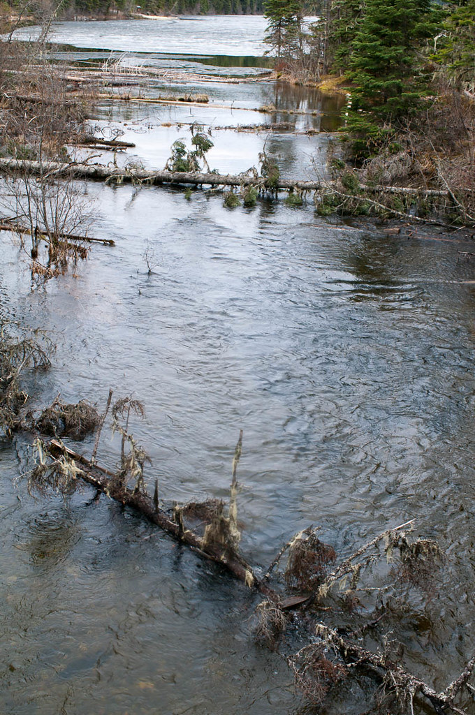
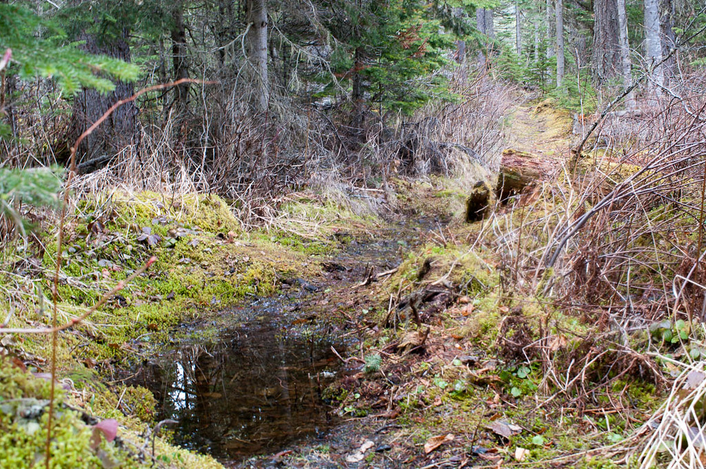
These photographs provide context; they do not establish the appearance of this selected route or facility.
Take this guide with you
Choose a trip pack or an available individual sheet for your map case.
Sources, dates & research notes
Descriptions are written for this guide from the linked evidence. Source review dates, published reports and field observations can differ. Photographs and route lines retain their own attribution and reuse terms.
- https://bcparks.ca/purden-lake-park/ (opens original source)
- https://governmentofbc.maps.arcgis.com/apps/instant/basic/index.html?appid=4b3eb47c25ff45fa9f6bff45e3f2a389¢er=-121.908309,53.9279569999999&level=11 (opens original source)
- https://caledoniaramblers.ca/trails/purden-lake (opens original source)
Nearby and related guides
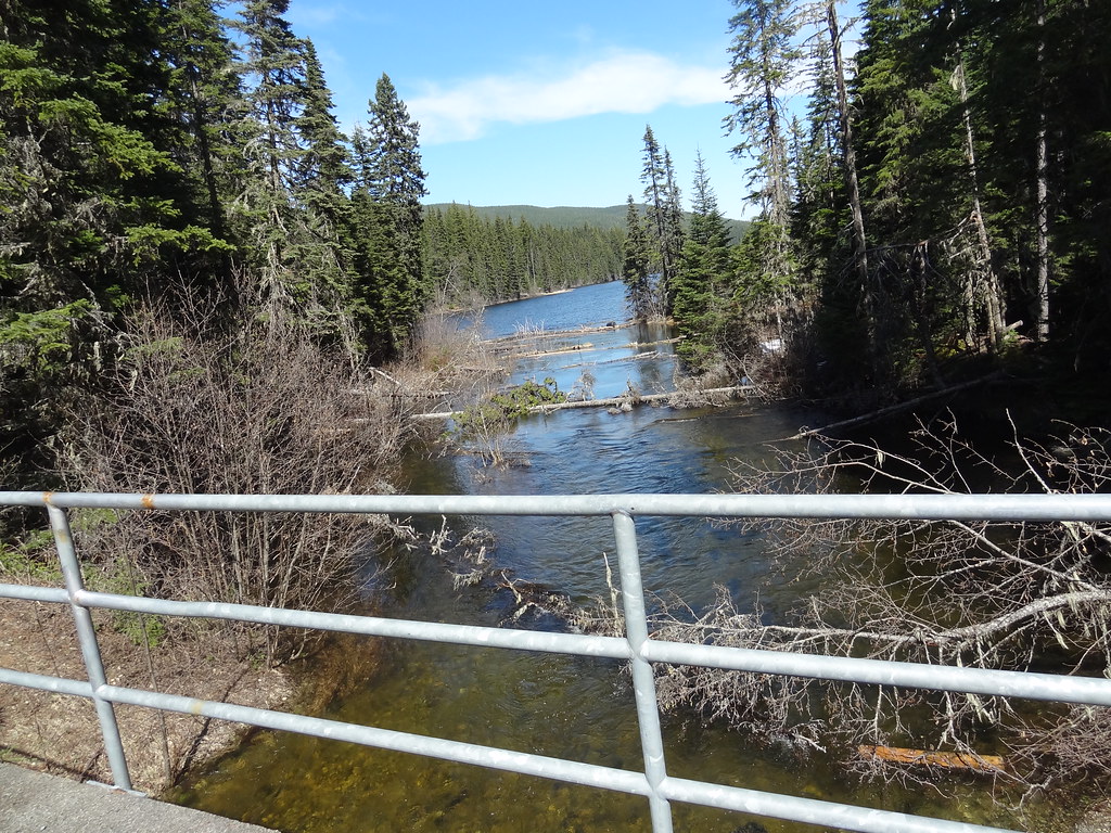 Photo: Andrew Kurjata · CC BY-NC-SA 2.0 · Noncommercial onlyHikes · Upper Fraser & Sugarbowl
Purden Lake
North-shore trail follows lake edge with roots and boardwalks; camping is available in the park subject to operator rules.
Easy / 12.2 km round tripRead guide →- Photo: Andrew Kurjata · CC BY-NC-SA 2.0 · Noncommercial onlyWalks · Upper Fraser & Sugarbowl
Purden Lake lakeside trails
Shoreline walking paths.
EasyRead guide → - Hikes · Upper Fraser & Sugarbowl
Sugarbowl ridge
A steep forest climb reaches Sugarbowl’s open subalpine ridge, with a shorter turnaround than the summit outing. The upper ridge needs careful navigation when cloud hides the…
10 km round trip / Not established gainRead guide → 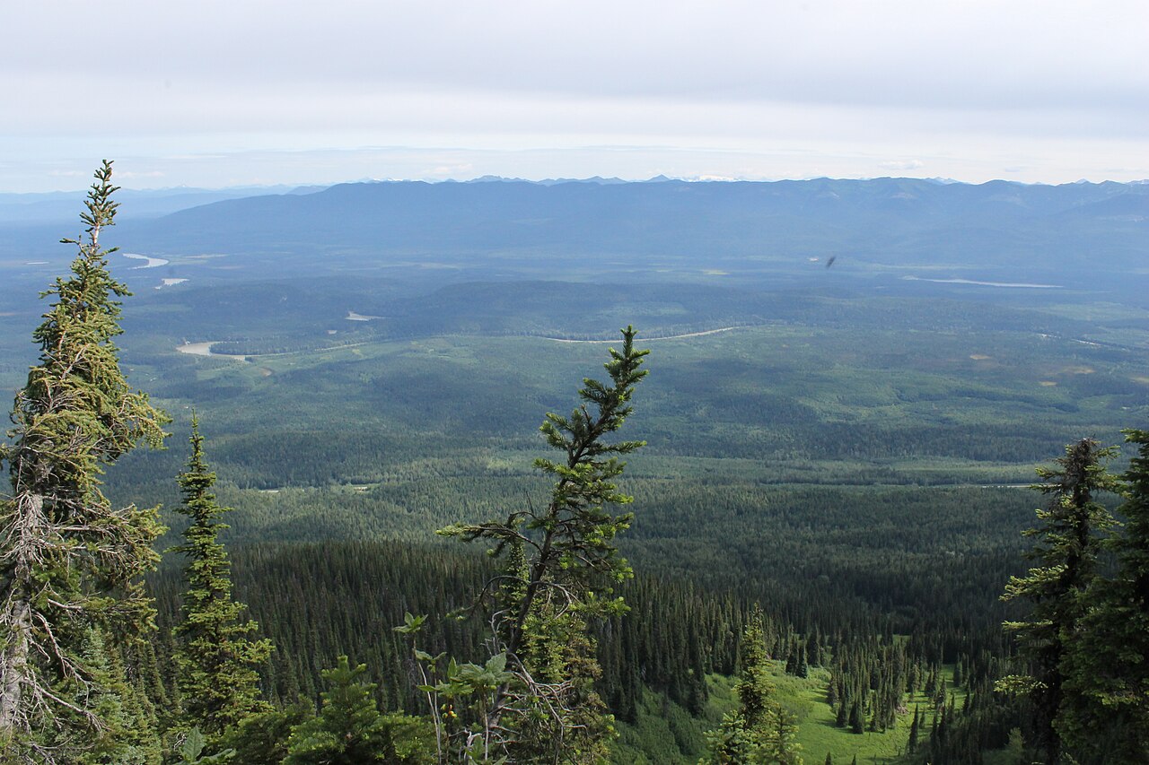 Photo: Newfoundlandguy · CC BY-SA 4.0Hikes · Upper Fraser & Sugarbowl
Sugarbowl Mountain
Steep north-slope climb reaches ridge and summit; Viking connector creates a longer traverse.
Hard / 13.4 km round trip / 1,059 m gainRead guide →- Photo: Newfoundlandguy · CC BY-SA 4.0Hikes · Upper Fraser & Sugarbowl
Sugarbowl summit
A sustained climb through forest reaches Sugarbowl’s ridge and open summit. Descend the same way for the summit outing; the onward Viking connection finishes at a different…
Hard / 18 km round trip / Not established gainRead guide → - Hikes · Upper Fraser & Sugarbowl
Grand Canyon of the Fraser
A seasonal backcountry approach reaches the Fraser canyon near Kenneth Creek. The winter route and an overgrown summer approach begin at different highway locations, and neither…
Moderate / 11 km round tripRead guide →