Grand Canyon of the Fraser
A seasonal backcountry approach reaches the Fraser canyon near Kenneth Creek. The winter route and an overgrown summer approach begin at different highway locations, and neither should be confused with a maintained canyon-side walking trail.
Sources reviewed . This is a research date, not a trail inspection.
The locations GPX contains sourced points with their recorded roles. It contains no trail track or connecting route.
- Distance
- 11 kmRound trip
- Elevation gain
- Not established200 m descent reported; this is not cumulative elevation gain
- Walking time
- 5-7 hours
- Difficulty
- ModerateThere and Back
Map & elevation
Elevation profile
A full-route elevation profile is not available yet.
A reusable trail line has not yet been verified for this outing. Any location pin shows the published location described above; it does not draw the hike or establish a navigable approach.
Getting there & parking
For the historical summer approach, the source places the start on the north side of Highway 16 roughly 74 km east of Prince George and about 500 m before Kenneth Creek. Its suggested highway-shoulder parking is not a verified dedicated parking area. The winter description instead starts about 4 km farther east at the Sugarbowl chain-up pullout, around 78 km from town. Keep the highway and chain-up space clear and confirm lawful parking before using either start. These two access points do not share the same approach distance.
Map position: 53.94048, -121.64582 · start point of published trip track (parking unverified). Embedded trip-map feature 'gcsummerin': first recorded coordinate [-121.64582, 53.94048]. Point extracted from the original public trip map. A track start is evidence of where recording began, not certification of parking, legal access, road suitability or the complete route.
On the trail
The winter account follows an old logging road north toward Kenneth Creek, then crosses the creek and uses a ribboned line through poplar forest to reach the Fraser. The canyon lies approximately 2–3 km downriver from that point. This requires a present-day decision about creek and river-edge conditions: a date on the calendar, someone else’s snowshoe track or a historical description does not establish ice safety. The reviewed text does not provide a verified alternative around unsafe water or ice.
The summer trail is described as long, overgrown and difficult to identify. The source directs readers to more detailed local guidebooks rather than supplying a usable junction sequence. Do not transfer the winter approach onto a summer trip. Published 11 km and 14 km figures refer to different canyon objectives, while the listed 200 m is descent rather than a confirmed cumulative elevation gain. Select the season, exact turnaround and a verified return line before planning distance or time.
Terrain: route finding · river-edge travel · winter ice hazard.
Distance and elevation source notes
11 km (14 km to lower canyon)
200 m (descent)
Source comparison: Main canyon; 11 km; source does not state return basis scope. This is another description of the main outing, a duplicate endpoint, an unscoped source claim, or a related facility.
Source comparison: Lower canyon; 14 km; source does not state return basis scope. This is another description of the main outing, a duplicate endpoint, an unscoped source claim, or a related facility.
Source comparison: Upper canyon winter outing; 11 km; 5–7 hours duration; return scope. This is another description of the main outing, a duplicate endpoint, an unscoped source claim, or a related facility.
Conditions & seasons
The older winter description suggests mid-January to mid-March when snow cover and frozen Kenneth Creek may permit the approach. Those dates are historical guidance, not an ice assessment. The summer route has a separate entrance and unresolved navigation detail.
These are dated research notes. Open the trip planner for current available weather and advisory feeds; no alert found does not establish that a trail or road is open.
Camping & overnight plans
On-route camping permission has not been established for this outing. Check the relevant land manager before planning an overnight stay; a mapped lake, cabin or previous tent location does not confirm permission.
Photos of Grand Canyon of the Fraser
A photograph with confirmed reuse permission has not yet been added to this guide.
Original photo galleries
These galleries stay on their photographers’ original websites.
- Grand Canyon of the Fraser February 5, 2023 (opens original source) · Caledonia Ramblers
- Grand Canyon of the Fraser February 6, 2022 (opens original source) · Caledonia Ramblers
- Grand Canyon of the Fraser July 5, 2020 (opens original source) · Caledonia Ramblers
- Grand Canyon of the Fraser March 8, 2020 (opens original source) · Caledonia Ramblers
- Grand Canyon of the Fraser March 17, 2019 (opens original source) · Caledonia Ramblers
- Grand Canyon of the Fraser March 25, 2018 (opens original source) · Caledonia Ramblers
- Grand Canyon of The Fraser in Northern BC — photographs and trip report (opens original source) · Hiking Prince George
Take this guide with you
Choose a trip pack or an available individual sheet for your map case.
Sources, dates & research notes
Descriptions are written for this guide from the linked evidence. Source review dates, published reports and field observations can differ. Photographs and route lines retain their own attribution and reuse terms.
Nearby and related guides
- Hikes · Upper Fraser & Sugarbowl
Sugarbowl ridge
A steep forest climb reaches Sugarbowl’s open subalpine ridge, with a shorter turnaround than the summit outing. The upper ridge needs careful navigation when cloud hides the…
10 km round trip / Not established gainRead guide → 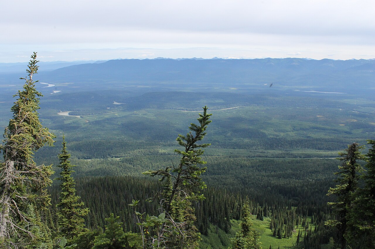 Photo: Newfoundlandguy · CC BY-SA 4.0Hikes · Upper Fraser & Sugarbowl
Sugarbowl Mountain
Steep north-slope climb reaches ridge and summit; Viking connector creates a longer traverse.
Hard / 13.4 km round trip / 1,059 m gainRead guide →- Photo: Newfoundlandguy · CC BY-SA 4.0Hikes · Upper Fraser & Sugarbowl
Sugarbowl summit
A sustained climb through forest reaches Sugarbowl’s ridge and open summit. Descend the same way for the summit outing; the onward Viking connection finishes at a different…
Hard / 18 km round trip / Not established gainRead guide → - Hikes · Upper Fraser & Sugarbowl
Viking Lake
The Viking approach climbs through forest and the wet Caribou Meadows before reaching a small lake below the summit. This outing turns at the lake and returns by the same trail.
11 km round trip / Not established gainRead guide → - Hikes · Upper Fraser & Sugarbowl
Viking meadows
Turn around at Caribou Meadows on the lower part of the Viking route, before the lake and summit. The forest approach still involves a substantial climb, followed by wet meadow…
6 km round trip / Not established gainRead guide → - Hikes · Upper Fraser & Sugarbowl
Viking Ridge
Climbs through Caribou Meadows to lake and ridge; rough connector to Sugarbowl is a separate traverse.
Hard / 14 km round trip / 1,110 m gainRead guide →