Stoney Creek Nature Trail
A wide gravel path follows Stoney Creek toward its meeting with the Nechako River. Interpretive stops cover Saik’uz history, the former railway and the creek’s plants and wildlife.
Sources reviewed . This is a research date, not a trail inspection.
- Distance
- 1.55 kmRound trip
- Elevation gain
- Not establishedCumulative ascent for this outing has not been established.
- Walking time
- Not published
- Difficulty
- Not rated
Map & elevation
A reliable location has not yet been established for this guide. Use the original access description while this is researched.
A reusable trail line has not yet been verified for this outing. Any location pin shows the published location described above; it does not draw the hike or establish a navigable approach.
Getting there & parking
Use the signed Stoney Creek access within Vanderhoof’s community-trail network. The district’s overview connects the wider network with the Community Museum and Riverside Park; use the visitor-centre trail card to choose the nearest entrance rather than treating a creek-centre map pin as a parking lot. This record describes the creek path, not the separate Heritage Nature Trail loop.
On the trail
Follow the gravel creekside trail toward the meeting of Stoney Creek and the Nechako River, using the interpretive signs to stay on the named route.
Full route notes
Follow the creek downstream toward the Nechako confluence, pausing at the historical and natural-history signs. The published distance is 775 m one way, so return by the same path unless you have deliberately planned a connection through town. Two trail sections commemorate Don Schwartz and George Smith. The district describes a groomed, broad gravel surface suitable for families and wheelchairs; that description does not guarantee the same surface condition during snow, flooding or maintenance work.
The way back
The district gives 775 m one way. Returning over the same path makes approximately 1.55 km; a different community-trail connection is additional.
Accessibility
Accessible.
Conditions & seasons
Season-specific access has not been established in this guide. Read the dated notices and original land-manager information before choosing a departure date.
These are dated research notes. Open the trip planner for current available weather and advisory feeds; no alert found does not establish that a trail or road is open.
Camping & overnight plans
On-route camping permission has not been established for this outing. Check the relevant land manager before planning an overnight stay; a mapped lake, cabin or previous tent location does not confirm permission.
Photos of Stoney Creek Nature Trail
A photograph with confirmed reuse permission has not yet been added to this guide.
Original photo galleries
These galleries stay on their photographers’ original websites.
- Stoney Creek mouth — August 2020 photograph (opens original source) · Christine’s Walkabout
Take this guide with you
Choose a trip pack or an available individual sheet for your map case.
Sources, dates & research notes
Descriptions are written for this guide from the linked evidence. Source review dates, published reports and field observations can differ. Photographs and route lines retain their own attribution and reuse terms.
- https://vanderhoof.ca/visit/trails/ (opens original source)
- https://christineswalkabout.com/2021/05/24/b-c-country-roads-no-10-visiting-vanderhoof-for-family-farm-and-fun-part-one/ (opens original source)
Details still being researched
- gainM
- dogs
- camping
- seasonal
Nearby and related guides
- Hikes · Vanderhoof & Fraser Lake
Heritage Nature Trail
A short interpretive loop combines Vanderhoof’s museum grounds, Stoney Creek and a wooded slope above the Nechako valley. It makes a compact town walk with a creek lookout and…
1.25 km loopRead guide → - Hikes · Vanderhoof & Fraser Lake
Omineca Trail
A long historic forest corridor runs toward the old Stuart River ferry crossing. Side trails to meadows and lakes provide shorter objectives, while the full one-way route is a…
15 km · one way onlyRead guide → 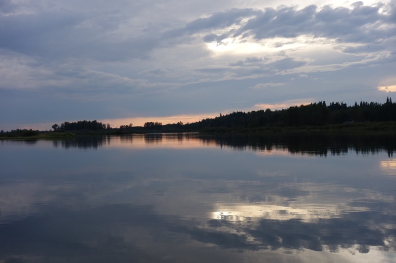 Photo: irmiller · CC BY-NC 2.0 · Noncommercial only; obtain a commercial licence or replace before commercial use.Hikes · Vanderhoof & Fraser Lake
Riverside Nature Trail
A gentle riverside walk links the migratory-bird observation tower at Riverside Park with the WL McLeod wetland. River lookouts and wooded sections make this a useful short…
2.7 km round tripRead guide →- Hikes · Vanderhoof & Fraser Lake
Sinkut Mountain
A steep service-road climb reaches a lookout and communications facilities above the Nechako Valley. The straightforward objective still involves continuous uphill walking on…
2.7 km · one way onlyRead guide → - Hikes · Vanderhoof & Fraser Lake
Telegraph Trail / Hogback Lake
A historic route follows an esker through the Hogback Lake area, with lake views and remnants of the Collins Overland Telegraph corridor. The public distance wording conflicts, so…
Source says loop and 10 km one-way; unresolvedRead guide → - Hikes · Vanderhoof & Fraser Lake
Waterlily Lake Trail
A seven-loop community-forest network reaches Waterlily and Homestead lakes, an old trapper’s cabin and viewpoints near Logan’s Point. Loop lengths vary widely, so the network…
Seven loops, 1.2–12.6 kmRead guide →