Hikes around
Prince George & northern BC
Plan a hike around Prince George or farther into northern British Columbia. Compare the chosen route’s distance, elevation gain and terrain, then read the road approach and on-trail directions. Lake visits, ridge turnarounds and summit outings can have different measurements.
162 of 162 places
Open map search →- hike · Prince George
Haldi Lake
A small lake southwest of the city has a short approach from Haldi Road and a much longer route from Domano. Choosing the starting point is essential because their distances are…
Moderate · Up to 6 hours depending where you start fromRead guide → - hike · Prince George
Pilot Mountain–Nechako Ridge
An exploratory point-to-point link joins the Pilot Mountain neighbourhood with the Pidherny network and Nechako Ridge lookout. It is longer and less settled than the short Pilot…
ModerateRead guide → - hike · Prince George
Garvin’s Canyon
A local forest outing from the Pilot Mountain neighbourhood, described for hiking and snowshoeing. The available trip report provides a start and recorded distance but very little…
Moderate · See time notes Recorded outing: 1 hour 6 minutes; not a general pace estimateRead guide → - hike · Upper Fraser & Sugarbowl
Tabor Mountain
A large recreation network east of Prince George offers forest loops, ski trails and several shelters. A named loop and its entrance are the useful planning unit; the mountain…
Moderate · Varies by trails takenRead guide → - hike · Hixon & Quesnel
Coburn Trail
The Coburn trails near Red Rock combine forest walking with views from bluffs above the Fraser River. The easier published outing is an approximately 8 km loop with mostly level…
Moderate · 4 hoursRead guide → - hike · Upper Fraser & Sugarbowl
Birchleg Trail
A forest loop on the north side of Tabor Mountain links named shelters and the Hickory Wing trail. Junction maps allow longer outings, so the published 10 km loop should be kept…
Moderate · 10 km loop · 4 hoursAbout 22 min drive from PGRead guide → 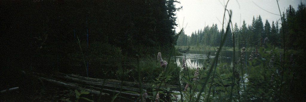 Photo: ₡ґǘșϯγ Ɗᶏ Ⱪᶅṏⱳդ · CC0 1.0hike · Bear Lake & northern lakes
Goodsir Nature Park
A privately developed botanical park combines woodland walking, labelled plants and trees, gardens and an indoor naturalist collection. It is particularly suited to a slow…
Trail network · choose a named routeAbout 34 min drive from PGRead guide →- hike · Upper Fraser & Sugarbowl
Willow River Interpretive Trail
A short interpretive outing off Highway 16 east of Prince George. The published entry identifies access and basic trip figures, but its detailed walking description remains…
Moderate · 2 - 3 hoursRead guide → 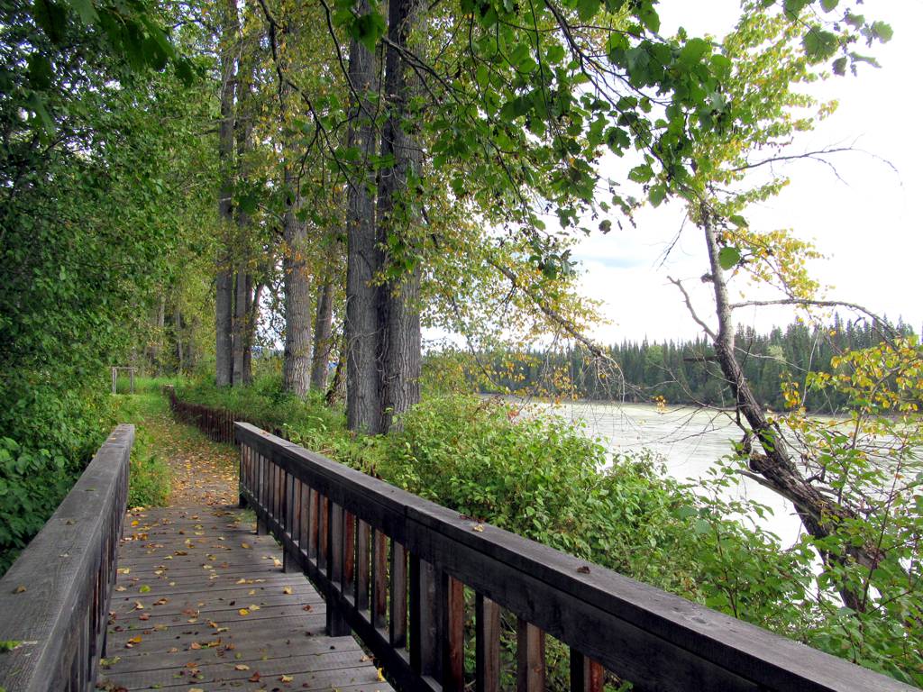 Photo: David Stanley from Nanaimo, Canada · CC BY 2.0hike · Bear Lake & northern lakes
Huble Farm
A historic homestead visit combines restored buildings, riverside pastures and access to the Giscome Portage area. It is distinct from the longer portage traverse and from…
Easy · 1–3 hoursRead guide →- hike · Vanderhoof & Fraser Lake
Dahl Lake Provincial Park
A short woodland connection links Norman Lake’s beach with quieter Dahl Lake. A rougher north-shore path offers a longer exploration, but this is a day-use park with no overnight…
Easy · 3 hoursRead guide → - hike · Bear Lake & northern lakes
Giscome Portage
A historic portage crosses the divide between the Pacific and Arctic watersheds near Huble Homestead. It is a linear trail with separate northern and southern access points, so…
Easy · 8.5 km point to point · 120 m gain · 3–4 hoursRead guide → - hike · Blackwater & southwest
Bobtail Mountain
Closure notice recorded · check guideA forest ridge trail reaches viewpoints and a small day-use hut, but the published road approach is affected by a washout and a removed bridge. Resolve access before treating this…
Easy · 12 km round trip · 363 m gain · 4 - 5 hoursRead guide → 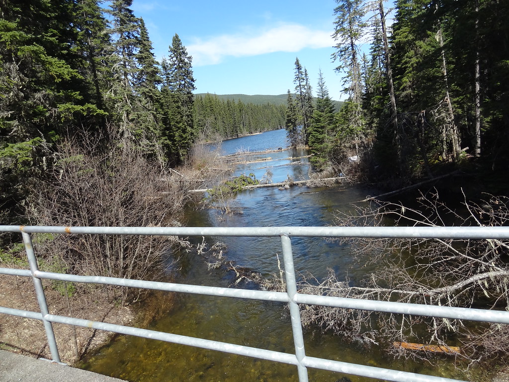 Photo: Andrew Kurjata · CC BY-NC-SA 2.0 · Noncommercial onlyhike · Upper Fraser & Sugarbowl
Purden Lake
North-shore trail follows lake edge with roots and boardwalks; camping is available in the park subject to operator rules.
Easy · 12.2 km round trip · 3-5 hoursRead guide →- hike · Bear Lake & northern lakes
Livingston Springs
A mostly level forest route in Crooked River Park leads to cool spring water that can remain open in winter. The springs are a wildlife-viewing destination, not a hot-spring…
Easy · 4–6 hoursRead guide → - hike · Blackwater & southwest
Alexander Mackenzie Heritage Trail
Local day walks follow part of the much longer Nuxalk-Carrier Grease Trail through the Blackwater country. The historic route predates Alexander Mackenzie’s guided journey and…
Moderate · 3 - 6 hours depending on how far one goesRead guide → - hike · Upper Fraser & Sugarbowl
Sugarbowl ridge
A steep forest climb reaches Sugarbowl’s open subalpine ridge, with a shorter turnaround than the summit outing. The upper ridge needs careful navigation when cloud hides the…
10 km round tripAbout 64 min drive from PGRead guide → 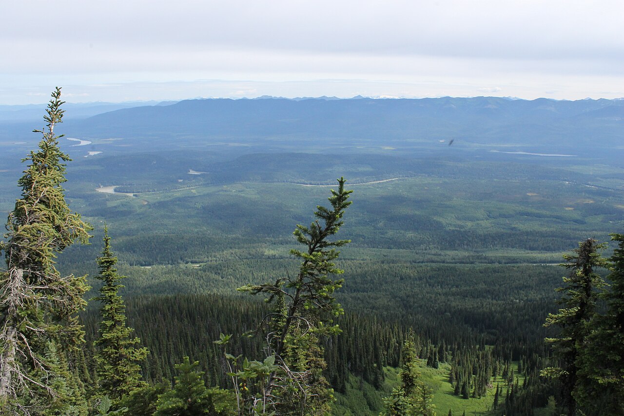 Photo: Newfoundlandguy · CC BY-SA 4.0hike · Upper Fraser & Sugarbowl
Sugarbowl Mountain
Steep north-slope climb reaches ridge and summit; Viking connector creates a longer traverse.
Hard · 13.4 km round trip · 1,059 m gain · 6 - 8 hoursRead guide →- Photo: Newfoundlandguy · CC BY-SA 4.0hike · Upper Fraser & Sugarbowl
Sugarbowl summit
A sustained climb through forest reaches Sugarbowl’s ridge and open summit. Descend the same way for the summit outing; the onward Viking connection finishes at a different…
Hard · 18 km round tripAbout 64 min drive from PGRead guide → - hike · Vanderhoof & Fraser Lake
Telegraph Trail / Hogback Lake
A historic route follows an esker through the Hogback Lake area, with lake views and remnants of the Collins Overland Telegraph corridor. The public distance wording conflicts, so…
Read the approach and route notesRead guide → - hike · Upper Fraser & Sugarbowl
Grand Canyon of the Fraser
A seasonal backcountry approach reaches the Fraser canyon near Kenneth Creek. The winter route and an overgrown summer approach begin at different highway locations, and neither…
Moderate · 11 km round trip · 5-7 hoursRead guide → - hike · Blackwater & southwest
Blackwater Canyon Trails
A Blackwater River outing combines a lower canyon path with an escarpment traverse and wide valley views. The upper and lower branches form a longer loop, with shorter return…
Moderate · 14 km loop · 4 - 6 hoursAbout 75 min drive from PGRead guide → - hike · Blackwater & southwest
Blackwater West (km 32 to km 47 on the Nuxalk-Carrier Grease Trail/Alexander Mackenzie Heritage Trail)
A longer section of the Nuxalk-Carrier Grease Trail follows the Blackwater escarpment before turning into forest. The kilometre references identify a heritage-trail segment rather…
Moderate · 6 - 8 hoursAbout 75 min drive from PGRead guide → - hike · Upper Fraser & Sugarbowl
Viking Lake
The Viking approach climbs through forest and the wet Caribou Meadows before reaching a small lake below the summit. This outing turns at the lake and returns by the same trail.
11 km round tripAbout 69 min drive from PGRead guide → - hike · Upper Fraser & Sugarbowl
Viking meadows
Turn around at Caribou Meadows on the lower part of the Viking route, before the lake and summit. The forest approach still involves a substantial climb, followed by wet meadow…
6 km round tripAbout 69 min drive from PGRead guide →