Viking–Sugarbowl traverse
Link the Viking and Sugarbowl routes on a mountain traverse between two Highway 16 trailheads. The rough connecting ground needs careful navigation, and the finish requires transport back to the start.
Sources reviewed . This is a research date, not a trail inspection.
- Distance
- Not publishedTrip basis unconfirmed
- Elevation gain
- Not establishedCumulative ascent for this outing has not been established.
- Walking time
- Not published
- Difficulty
- Not ratedPoint to point
Map & elevation
Elevation profile
A full-route elevation profile is not available yet. The mapped paths have not been verified as one continuous outing.
Choose a specific route where available. Individual map fragments are not shown as separate hike stages.
Mapped named trail sections. Both named mountain paths are shown. Shared junctions are joined only where source coordinates agree; any remaining discontinuity is retained. Line source (opens original source).
Getting there & parking
Follow Highway 16 east from Prince George to the Viking Ridge access, about 5 km beyond the Sugarbowl trailhead. The park brochure places the parking area on the north side of the highway and the trail sign at the highway cutbank. Identify the signed trail and take care at the highway crossing; this is separate from the Sugarbowl parking lot and the Hungary Creek road. For a traverse ending at Sugarbowl, arrange transport between the two separate highway parking areas before starting; the Viking lot is roughly 5 km farther east.
Map position: 53.87144, -121.58033 · trailhead. Converted from official degrees-decimal-minutes; datum unstated; not field-verified
- Trail access · 53.87192, -121.58225. Named point on source trip map; position and feature type retained as factual observations. Location source (opens original source)
- Trail access · 53.89228, -121.66272. Named point on source trip map; position and feature type retained as factual observations. Location source (opens original source)
On the trail
Ascend the Viking approach through Caribou Meadows and toward the lake and ridge, then use the rough connecting route toward Sugarbowl and descend the Sugarbowl forest trail to its own parking lot. This is a point-to-point undertaking, not the ordinary Viking out-and-back. The publications do not describe the connector consistently: the older brochure locates a circuit junction at the second meadow, while the current Sugarbowl description refers to a roughly 4.5 km connection from the summit area. Carry the current route map and establish the exact connector before setting out. Navigation becomes especially difficult when cloud hides the ridge or snow covers the tread.
Conditions & seasons
The summer connection should not be assumed to be a safe winter crossover. Snow-covered alpine slopes bring avalanche and hard-snow hazards, and the park identifies some routes as summer-only.
These are dated research notes. Open the trip planner for current available weather and advisory feeds; no alert found does not establish that a trail or road is open.
Camping & overnight plans
Wild tenting is permitted throughout Sugarbowl–Grizzly Den Park. Designated camps are at Raven Lake and Grizzly Den, reached by different approaches from this hike. Open fires are prohibited; cabin stays require separate reservations.
Photos of Viking–Sugarbowl traverse
A photograph with confirmed reuse permission has not yet been added to this guide.
Take this guide with you
Choose a trip pack or an available individual sheet for your map case.
Sources, dates & research notes
Descriptions are written for this guide from the linked evidence. Source review dates, published reports and field observations can differ. Photographs and route lines retain their own attribution and reuse terms.
- https://nrs.objectstore.gov.bc.ca/kuwyyf/sugarbowl_grizzlyden_brochure_53146eed08.pdf (opens original source)
- https://bcparks.ca/sugarbowl-grizzly-den-park/ (opens original source)
- https://caledoniaramblers.ca/trails/sugarbowl-mountain (opens original source)
- https://nrs.objectstore.gov.bc.ca/kuwyyf/sugarbowl_grizzlyden_waypoints_c18ea15d07.pdf (opens original source)
- https://www.caledoniaramblers.ca/sites/default/files/HikingSchedules/CaledoniaRamblersHikingSchedule2025.pdf (opens original source)
- https://caledoniaramblers.ca/trails/viking-ridge (opens original source)
OpenStreetMap line references (3)
These contributor-mapped features support the map geometry. They are separate from the written access and route sources.
Details still being researched
- A matched full high-traverse distance and cumulative gain is not published in the reviewed primary pages.
Nearby and related guides
- Hikes · Upper Fraser & Sugarbowl
Viking Lake
The Viking approach climbs through forest and the wet Caribou Meadows before reaching a small lake below the summit. This outing turns at the lake and returns by the same trail.
11 km round trip / Not established gainRead guide → - Hikes · Upper Fraser & Sugarbowl
Viking meadows
Turn around at Caribou Meadows on the lower part of the Viking route, before the lake and summit. The forest approach still involves a substantial climb, followed by wet meadow…
6 km round trip / Not established gainRead guide → - Hikes · Upper Fraser & Sugarbowl
Viking summit
Climb through forest, Caribou Meadows and the lake basin before tackling Viking’s less clearly marked upper slopes. Return by the same approach; lingering snow and poor visibility…
Hard / 13 km round trip / Not established gainRead guide → - Hikes · Upper Fraser & Sugarbowl
Viking Ridge
Climbs through Caribou Meadows to lake and ridge; rough connector to Sugarbowl is a separate traverse.
Hard / 14 km round trip / 1,110 m gainRead guide → - Hikes · Upper Fraser & Sugarbowl
Sugarbowl ridge
A steep forest climb reaches Sugarbowl’s open subalpine ridge, with a shorter turnaround than the summit outing. The upper ridge needs careful navigation when cloud hides the…
10 km round trip / Not established gainRead guide → 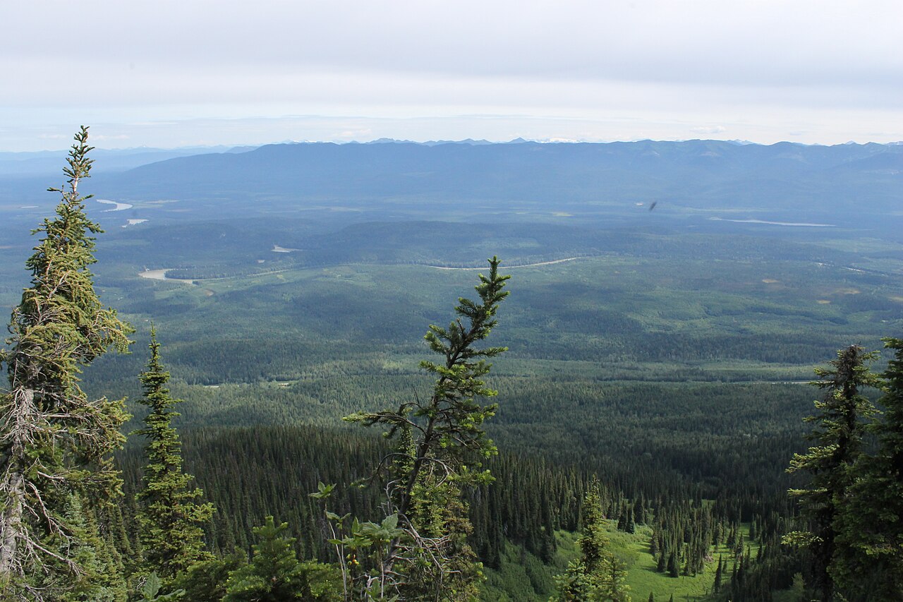 Photo: Newfoundlandguy · CC BY-SA 4.0Hikes · Upper Fraser & Sugarbowl
Sugarbowl summit
A sustained climb through forest reaches Sugarbowl’s ridge and open summit. Descend the same way for the summit outing; the onward Viking connection finishes at a different…
Hard / 18 km round trip / Not established gainRead guide →