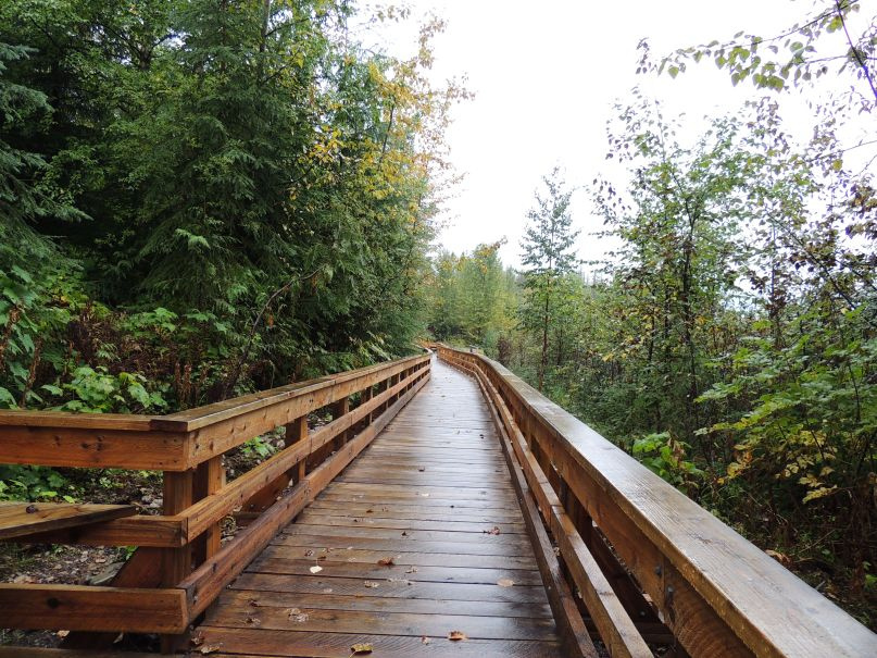
Eskers: Walking Through the Landscape the Ice Age Left Behind
The ridges and small lakes northwest of Prince George make more sense once you imagine water flowing inside a glacier.
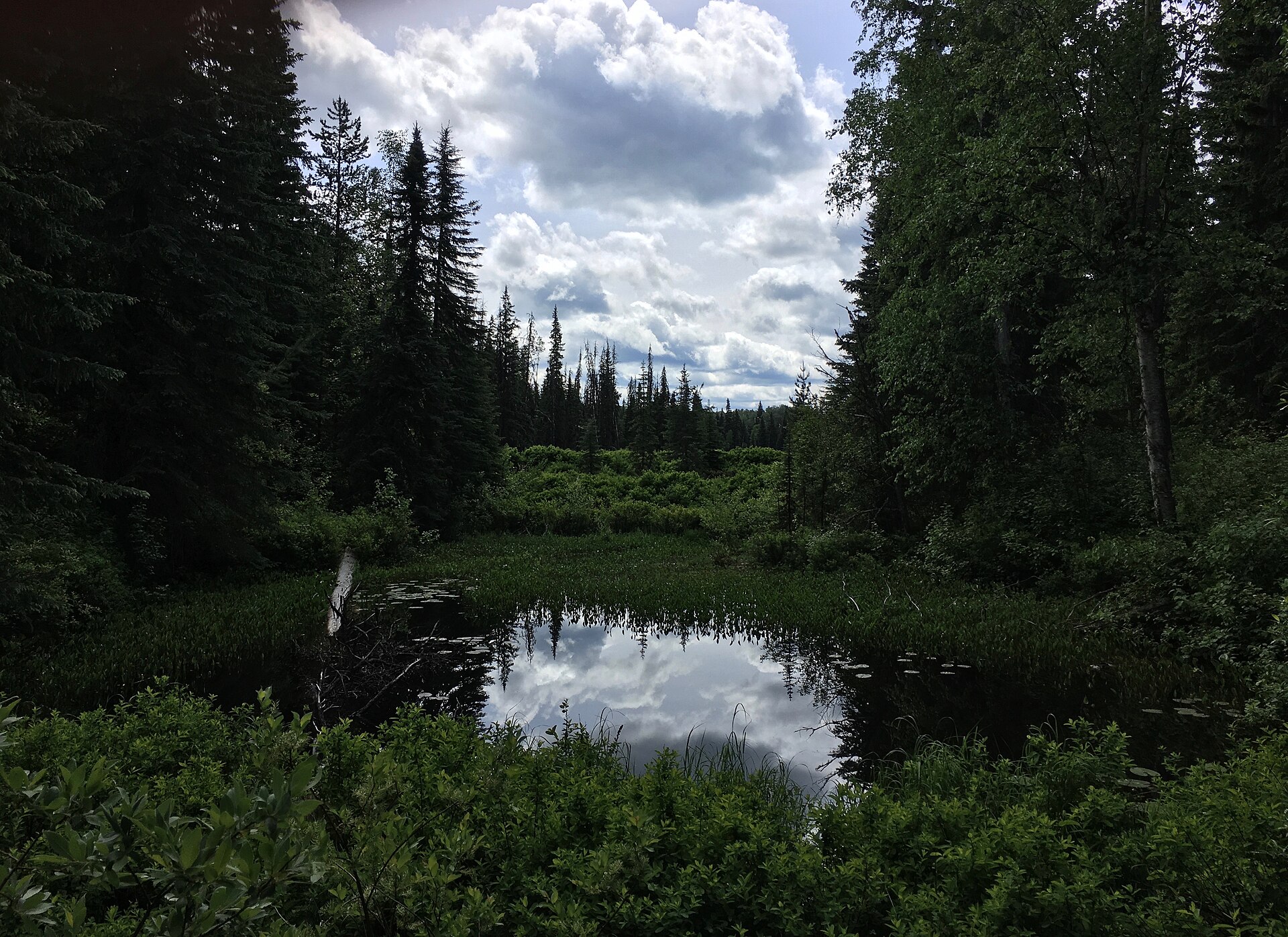
A landscape you can read at walking pace
Eskers Park rewards a kind of attention that a summit hike sometimes hurries past. Its appeal lies in the shape of the ground: winding ridges, dips, forest and small bodies of water. BC Parks protects part of the Stuart River Eskers Complex here, northwest of Prince George.
Once the name has an explanation, the scenery becomes more legible. Those ridges are evidence of moving water in an earlier, ice-covered landscape. A walk through the park is therefore an opportunity to notice two landscapes at once: the forest and wetlands in front of you, and the glacial setting that helped determine where they could develop.
Sources: 1
How a stream can leave a ridge
A stream normally makes us picture a low channel cut into the ground. An esker asks us to picture water confined by ice instead. Meltwater moving within or beneath a glacier carries sediment. Where the flow loses energy, it can deposit sand and gravel inside the channel.
As the surrounding ice disappears, those deposits can remain as a raised, winding feature. The National Park Service describes eskers as ridges built by sediment accumulating in glacial water channels. The ridge is therefore a record of material left behind, rather than a modern riverbank simply pushed upward. Thinking of the ice as temporary walls makes the apparent reversal easier to understand.
Sources: 2
The ice was a temporary landscape
The glacier was not simply a lid resting on a ready-made park. It contained a changing drainage system, with meltwater moving through channels and openings as the ice evolved. Geological descriptions distinguish several settings in which eskers can form; pressure beneath the ice also affects how the water travels. The tidy tunnel in a diagram is a useful introduction to a much less tidy natural system.
On the trail, look for the long form of a ridge and the lower ground beside it. Try following that shape with your eye before looking back at the trees. The park’s interpretation helps connect the view to its glacial history. You can enjoy reading those broad forms without needing to give every mound or hollow a geological name.
Sources: 3
The forest grows over the evidence
BC Parks describes a mixed forest including aspen, lodgepole pine and Douglas-fir, with spruce in parts of the park. Lakes and wetlands add another setting, and beaver activity is one of the signs visitors may notice along the water. The ice-age landforms have become the framework for a living landscape.
Take the changes in view as an invitation to pause. A rise may give a better sense of the terrain; a shoreline brings the scale down to water, stems and animal signs. Binoculars can be useful, but there is no need to build the day around a promised wildlife sighting. The shape and variety of the place are already enough to follow.
Sources: 1
Choose the walk, not the network total
Eskers has several route possibilities. Caledonia Ramblers describes a complete outer circuit of about 14 kilometres, with shorter loops available, and specifically notes the repeated ups and downs. A low-looking landscape can still add up to a substantial day when a route crosses many ridges.
A shorter loop leaves more time to linger at the water; the outer circuit turns repeated rises and dips into a longer woodland day. Save the park map, choose the route that fits and leave some time for stops. The appeal of this terrain is often in its small changes, which are easier to appreciate when the outing is not a race back to the car.
Sources: 4
A different reason to return
On a first visit, the practical goal may be a lake, a loop or a pleasant few hours outside. On the next, try paying attention to the ground between those destinations. Notice where the path rises, where the low areas collect water and how often the view changes without a major climb.
The geological story makes those small transitions meaningful. Water carried material through an environment of ice; the deposits survived; vegetation and wetlands now occupy the resulting terrain. You do not need to reconstruct the entire Ice Age to enjoy that sequence. Remembering that the path crosses an inherited landscape is enough to make an ordinary rise in the trail worth a second look.
Explore the places in this story
Eskers Park route choices
The park network total is not one mandatory walk.
Eskers outer loop
Longer outing; use the complete-loop scope and allow for repeated climbs.
Sources and further reading
- Eskers Park (opens original source)BC Parks · Checked
- Outwash Plains and Eskers (opens original source)US National Park Service · Checked
- Esker (opens original source)Géologie Québec · Checked
- Eskers Park (opens original source)Caledonia Ramblers · Checked