Trails cleared
The Ramblers report blowdown clearing on all trails on April 4,2026.
Notice or observation: April 4, 2026 · Source checked October 17, 2026 · Caledonia Ramblers (opens original source)This named route is still being researched. The notes below show what the available sources establish.
Sources reviewed . This is a research date, not a trail inspection.
A dependable walking itinerary is not yet documented. Read the specific gaps below before choosing this outing.
Read the access notes →The locations GPX contains sourced points with their recorded roles. It contains no trail track or connecting route.
A full-route elevation profile is not available yet.
A reusable trail line has not yet been verified for this outing. Any location pin shows the published location described above; it does not draw the hike or establish a navigable approach.
Turn west from Highway 97 onto Chief Lake Road.
Continue about 27 km west; the route becomes Ness Lake Road around kilometre 12.
Near the western end of Ness Lake, take Ness Lake Road North. The park entrance is about 1 km along this road.
From Highway 97 north, turn west onto Chief Lake Road and continue for about 27 km. At approximately 12 km the road name changes to Ness Lake Road. Near the west end of Ness Lake, turn north onto Ness Lake Road North and follow it about 1 km to the park entrance. The park is roughly 40 km northwest of Prince George. BC Parks warns of rough road surfaces, so allow time for the final approach and obey the posted speed limits.
Estimated drive from Prince George: 1 hr 1 min · 41.5 km. Modeled one-way driving time from downtown Prince George using mapped road speeds, rounded up to a whole minute. No live traffic or invented forest-road multiplier. BC Parks warns of rough road surfaces; allow extra time and obey posted limits. The model does not establish current road or snow conditions.
Map position: 54.04475, -123.16577 · start point of published trip track (parking unverified). Embedded trip-map feature 'EskersFullTrail': first recorded coordinate [-123.165769, 54.044748]. Point extracted from the original public trip map. A track start is evidence of where recording began, not certification of parking, legal access, road suitability or the complete route.
A detailed on-trail itinerary has not yet been verified for this route. The source links may contain additional historical descriptions, but this guide cannot yet establish the junction sequence or a complete navigation route.
Season-specific access has not been established in this guide. Read the dated notices and original land-manager information before choosing a departure date.
The Ramblers report blowdown clearing on all trails on April 4,2026.
Notice or observation: April 4, 2026 · Source checked October 17, 2026 · Caledonia Ramblers (opens original source)The club reports park trails cleared of blowdown on April 4, 2026. Later storms and seasonal changes are not covered by this observation.
Notice or observation: April 4, 2026 · Source checked October 17, 2026 · Caledonia Ramblers (opens original source)These are dated research notes. Open the trip planner for current available weather and advisory feeds; no alert found does not establish that a trail or road is open.
Day use only. Fires, snowmobiles and ATVs are prohibited in the park.
A photograph with confirmed reuse permission has not yet been added to this guide.
These photographs provide context; they do not establish the appearance of this selected route or facility.
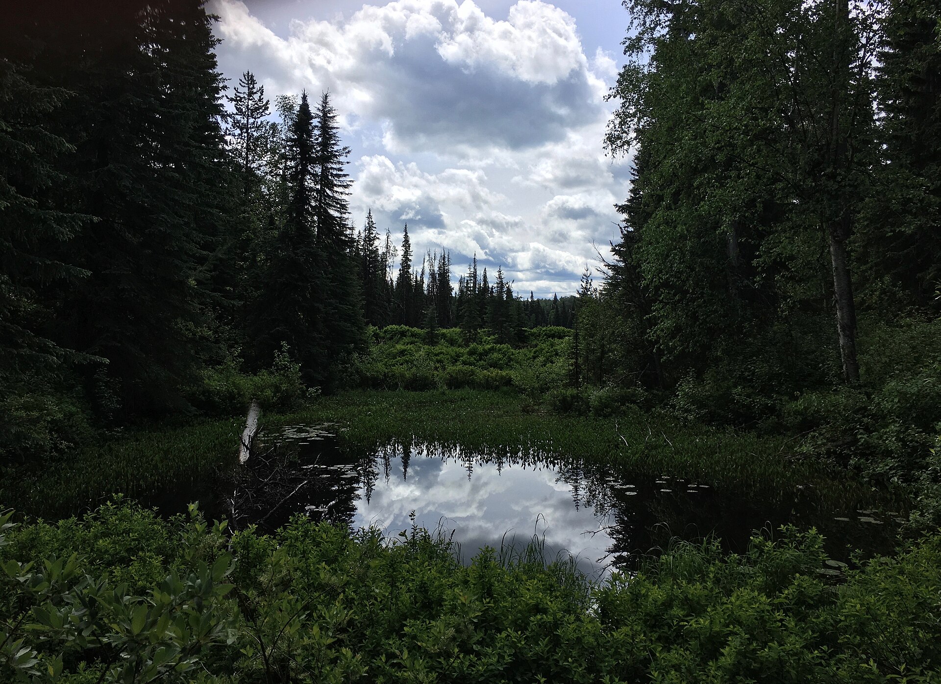
These galleries stay on their photographers’ original websites.
Choose a trip pack or an available individual sheet for your map case.
Descriptions are written for this guide from the linked evidence. Source review dates, published reports and field observations can differ. Photographs and route lines retain their own attribution and reuse terms.
A small lake park with a beach and short walking network near Ness Lake Road. It is useful for a gentle woodland walk followed by a picnic or lakeside visit.
1.2 km of trails · Choose your walking routeRead guide →A gated service road and a separate forest-path option climb to viewpoints above the city. The shorter Pilot Mountain outing is distinct from the longer Nechako Ridge exploration.
Easy / 3 km · trip basis unconfirmed / Not established gainRead guide →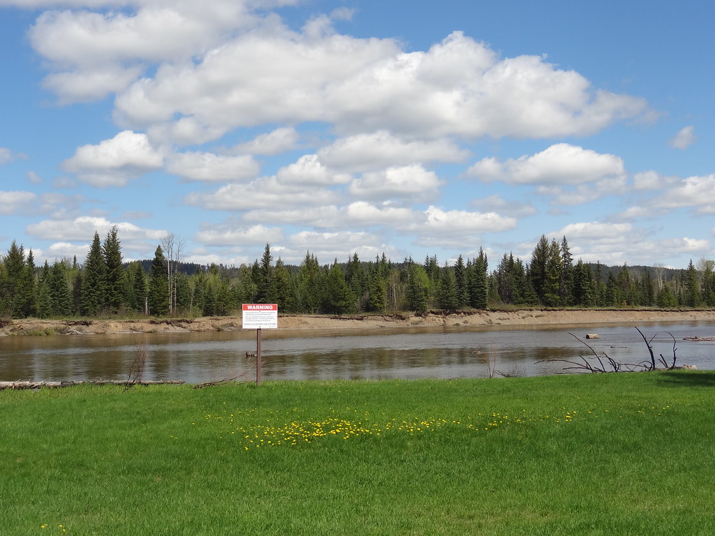 Photo: Andrew Kurjata · CC BY-NC-SA 2.0 · Noncommercial onlyWalks · Prince George surroundings
Gentle paths through large cottonwoods lead beside the Nechako River near Miworth. A picnic shelter and open field make it a useful short outing for mixed walking abilities.
EasyRead guide →A large volunteer-maintained network northwest of downtown supports hiking, running and mountain biking. Many trails include technical bike features, so a walking route needs…
Club outing range 5–15 km; broader network approximately 30 kmRead guide →Forest trails within Prince George for summer walks and winter snowshoeing, with a separate ski network and a recently opened paved recreation circuit. Choose trails for the…
Read the access and route notesRead guide →A local forest outing from the Pilot Mountain neighbourhood, described for hiking and snowshoeing. The available trip report provides a start and recorded distance but very little…
Moderate / 4.39 km · trip basis unconfirmed / Not established gainRead guide →