East / Herrick Creek
Herrick Falls
Waterfall destination; public lawful access and current trailhead require confirmation.
Not established · partial recording only
A LOCAL FIELD GUIDE
Find a walk close to home, a waterfall, or a day in the mountains.
East / Herrick Creek
Waterfall destination; public lawful access and current trailhead require confirmation.
Fort St. James / Murray Ridge
Newer trails explore the ridge west of Murray Ridge Ski Hill near Fort St. James. They offer ridge views, but the published exploratory…
East / Herrick / Framstead Creek confluence
A remote waterfall at the meeting of Framstead Creek and Herrick Creek, with access details still needing confirmation.
Region to confirm
An undeveloped approach in the Anzac backcountry climbs through a cutblock and forest toward Erratic Ridge and Burden Peak country. This is a…
West / Fort St James
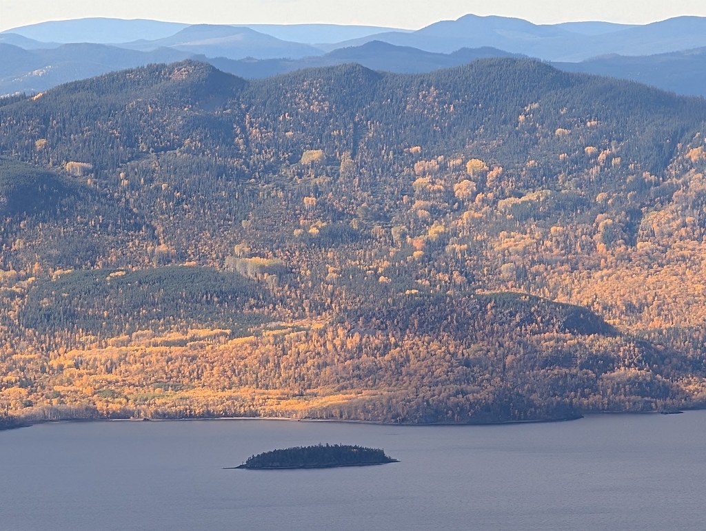
A sustained mountain trail above Fort St. James reaches a summit gazebo overlooking Stuart Lake and the ranges to the north. The park is day use…
Fort St. James & northwest
A Stuart Lake campground with a broad beach and boat launch, convenient for exploring the Fort St. James area. Nearby mountain hikes require a…
Wells / Barkerville
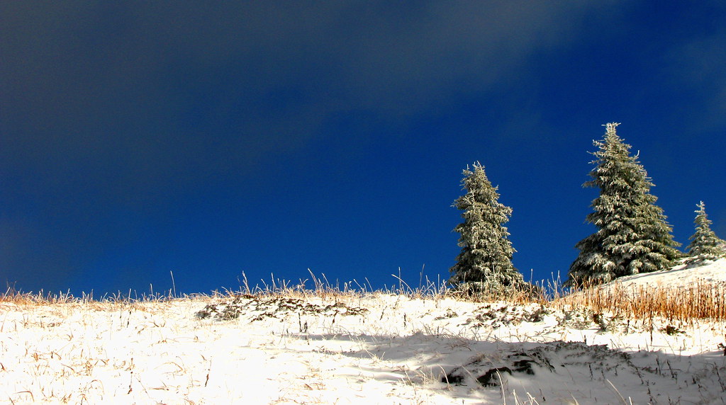
Mount Murray can be approached from either the Yellowhawk or Jubilee trailhead above the Bowron Lake Road. Both climb toward the same alpine…
Wells / Bowron Lake Road
Mount Murray can be approached from either the Yellowhawk or Jubilee trailhead above the Bowron Lake Road. Both climb toward the same alpine…
Kersley / farther south
This short Kersley trail leads from the recreation-centre area toward a viewpoint over the Fraser River. The approximately 800 m route has a…
Wells / Barkerville
Yellowhawk climbs from the Bowron Lake Road through forest into the open ridges near Greenbury and Mount Murray. It can serve a shorter ridge…