Mount Murray (Barkerville)
Mount Murray can be approached from either the Yellowhawk or Jubilee trailhead above the Bowron Lake Road. Both climb toward the same alpine area, allowing an out-and-back walk or a traverse with arranged transport. The local trail society describes about 4.5 km uphill from either trailhead and 685 m of gain, while the club guide describes a longer approximately 11.5 km through-route plus a separate summit spur. Match the distance to the actual start, finish and summit choice.
Sources reviewed . This is a research date, not a trail inspection.
- Distance
- 12.5 kmPoint to point
- Elevation gain
- 690 mPublished route measurement
- Walking time
- 5 to 6 hours
- Difficulty
- HardPoint to Point
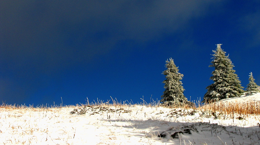
Map & elevation
Elevation profile
A full-route elevation profile is not available yet. The mapped paths have not been verified as one continuous outing.
Choose a specific route where available. Individual map fragments are not shown as separate hike stages.
Mapped trail network. The named Jubilee and Yellowhawk approaches share an identical source junction and are shown as a branched network. The source includes the upper Murray-side continuation, but does not choose a summit-cairn turnaround, duplicate the summit spur for a return, or provide the road shuttle between trailheads. The separate Hump Bypass and Sliding Mountain continuation are excluded. Line source (opens original source).
Getting there & parking
From Highway 26 beyond Wells, take Bowron Lake Road and keep to the Bowron route where the 3100 Road branches toward Likely. The trail society places Yellowhawk at about road kilometre 3.5 and Jubilee at 6.3. An older Yellowhawk description uses 3.2 km, so locate the signed trail entrance rather than treating that decimal as exact. For a traverse, leave a second vehicle at the finish before starting. The gap between road trailheads is additional travel if you return on foot.
Map position: 53.12549, -121.50600 · start point of published trip track (parking unverified). Embedded trip-map feature 'jubillee to mt murray': first recorded coordinate [-121.506, 53.12549]. Point extracted from the original public trip map. A track start is evidence of where recording began, not certification of parking, legal access, road suitability or the complete route.
On the trail
On Jubilee, the lower approximately 2.5 km follows an old road; Yellowhawk instead climbs through forest with roots and switchbacks. Both routes lead toward the open country near Murray. The alpine connections and summit spur are less clearly marked than the lower paths. The trail society locates the summit cairn above the lake beside the radio installation; the club guide describes an approximately 500 m spur each way from the through-route. If using both approaches, identify the correct descent before leaving the alpine. With one car, returning along the ascent avoids adding an unplanned road walk.
Terrain: alpine.
Distance and elevation source notes
About 11.5 km trailhead to trailhead plus 0.5 km each way to the summit.
690 m
Source comparison: Summit spur; 1 km; additional return spur scope. This is another description of the main outing, a duplicate endpoint, an unscoped source claim, or a related facility.
Conditions & seasons
Season-specific access has not been established in this guide. Read the dated notices and original land-manager information before choosing a departure date.
These are dated research notes. Open the trip planner for current available weather and advisory feeds; no alert found does not establish that a trail or road is open.
Camping & overnight plans
On-route camping permission has not been established for this outing. Check the relevant land manager before planning an overnight stay; a mapped lake, cabin or previous tent location does not confirm permission.
Photos of Mount Murray (Barkerville)
Original photo galleries
These galleries stay on their photographers’ original websites.
- Mt Murray July 12, 2025 (opens original source) · Caledonia Ramblers
- Mt Murray (Wells) July 4, 2021 (opens original source) · Caledonia Ramblers
Take this guide with you
Choose a trip pack or an available individual sheet for your map case.
Sources, dates & research notes
Descriptions are written for this guide from the linked evidence. Source review dates, published reports and field observations can differ. Photographs and route lines retain their own attribution and reuse terms.
- https://caledoniaramblers.ca/trails/mount-murray-barkerville (opens original source)
- https://hiking.princegeorge.tech/mt-murray-jubilee-wells-bc/ (opens original source)
- https://wellstrails.ca/seven-summits/ (opens original source)
- https://caledoniaramblers.ca/trails/yellowhawk-trail (opens original source)
OpenStreetMap line references (2)
These contributor-mapped features support the map geometry. They are separate from the written access and route sources.
Details still being researched
- dogs
- accessibility
- camping
- seasonal
Nearby and related guides
- Photo: Dru! · CC BY-NC 2.0 · Noncommercial onlyHikes · Wells, Barkerville & Bowron
Murray Jubilee
Mount Murray can be approached from either the Yellowhawk or Jubilee trailhead above the Bowron Lake Road. Both climb toward the same alpine area, allowing an out-and-back walk or…
4.5 km · one way only / Not established gainRead guide → - Hikes · Wells, Barkerville & Bowron
Yellowhawk Trail
Yellowhawk climbs from the Bowron Lake Road through forest into the open ridges near Greenbury and Mount Murray. It can serve a shorter ridge outing, a Murray summit approach or…
Hard / 8.4 km round trip / 604 m gainRead guide → - Hikes · Wells, Barkerville & Bowron
Two Sisters Mountain
A mountain outing near Wells with two distinct objectives. The South Sister route reaches the Seven Summits cairn and includes a hands-on final scramble; the North Sister lookout…
Hard / 15 km round tripRead guide → - Hikes · Wells, Barkerville & Bowron
Mount Magnus (Vinje Grind)
The Vinje Grind climbs steeply to Mount Magnus above the Wells and Bowron Lake area. It shares its lower access with Mount Patchett before splitting toward a shorter but still…
Hard / 3.3 km · trip basis unconfirmed / Not established gainRead guide →  Photo: Dru! · CC BY-NC 2.0 · Noncommercial only; obtain a commercial licence or replace before commercial use.Hikes · Wells, Barkerville & Bowron
Mount Agnes/Groundhog Lake
Groundhog Lake is a long walk into the mountains behind Barkerville, using the old mining-road approach before reaching a high lake and rustic cabin. The lake outing is published…
Moderate / 17 km round trip / 490 m gainRead guide →- Hikes · Wells, Barkerville & Bowron
Mount Guyet
Mount Guyet is a relatively short but steep mountain outing through the landscape burned by the 2024 Antler Creek fire. Open cutblocks, burned forest and alpine meadows lead…
4.1 km round trip / 300 m gainRead guide →