Fraser Lake & west
Beaumont campground
A Fraser Lake camping and beach stop beside Highway 16, with a short interpretive walk through local natural and historical features. It is…
Camping destination
A LOCAL FIELD GUIDE
Find a walk close to home, a waterfall, or a day in the mountains.
Fraser Lake & west
A Fraser Lake camping and beach stop beside Highway 16, with a short interpretive walk through local natural and historical features. It is…
Vanderhoof & west
A small four-site camping area on the Nechako River below the mouth of Greer Creek. This river campsite is separate from the Greer Creek Falls…
Tumbler Ridge / Monkman
Official Monkman map marks camp at trail km 33; these are route-chainage values, not road distances.
Fort St. James & northwest
A Stuart Lake campground west of Fort St. James, with many sites near the water. It is primarily a lake camping destination rather than a…
Fort Fraser
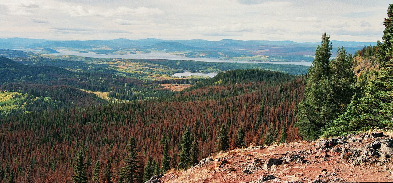
A steep forest climb reaches several viewpoints above Fraser Lake and the former fire-lookout site. The old tower is no longer a reliable…
Kersley / Quesnel / farther south
Deserter’s Creek, also called Deep Creek locally, follows a creek valley to a waterfall and viewpoints southwest of Quesnel. The walking line…
Fort St. James / farther northwest
A short forest approach north of Fort St. James reaches a waterfall, picnic area and pit toilets. The lengthy road approach should be planned…
Tumbler Ridge / Monkman
Official Monkman map marks camp at trail km 25; these are route-chainage values, not road distances.
Region to confirm
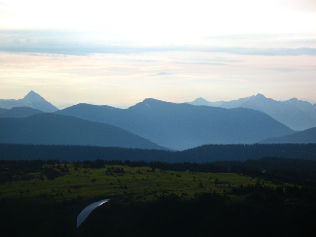
Mount Agnes adds a summit above Groundhog Lake to the long approach from Barkerville. The local trail society lists around 20 km return and 740…
Barkerville
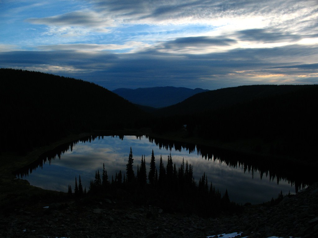
Groundhog Lake is a long walk into the mountains behind Barkerville, using the old mining-road approach before reaching a high lake and rustic…