Tsilcoh Falls
A short forest approach north of Fort St. James reaches a waterfall, picnic area and pit toilets. The lengthy road approach should be planned separately from the short walking distance.
Sources reviewed . This is a research date, not a trail inspection.
The locations GPX contains sourced points with their recorded roles. It contains no trail track or connecting route.
- Distance
- 2.4 kmRound trip
- Elevation gain
- Not establishedCumulative ascent for this outing has not been established.
- Walking time
- Not published
- Difficulty
- Not ratedOut-and-back
one way from parking to falls and picnic area The round-trip distance is calculated from the published one-way length.
Map & elevation
Elevation profile
A full-route elevation profile is not available yet.
A reusable trail line has not yet been verified for this outing. Any location pin shows the published location described above; it does not draw the hike or establish a navigable approach.
Getting there & parking
Follow Highway 27 through Fort St. James onto Germansen Landing North Road.
After about 19 km, turn left onto Pinchi Lake Road and continue 7.5 km to the parking area.
Full access notes
From Prince George follow Highway 16 west to Highway 27 and turn north toward Fort St. James. Continue through the community as the road becomes Germansen Landing North Road. The tourism brochure then gives approximately 19 km to a left turn onto Pinchi Lake Road, followed by 7.5 km to the parking area. Check the current signed entrance and road conditions rather than using the falls coordinate as a vehicle destination.
Map position: 54.61141, -124.25001 · recreation project location. Source-published recreation project point; not verified parking or trailhead.
On the trail
Follow the established path from parking toward the waterfall and picnic area.
Full route notes
From the parking area follow the established trail approximately 1.2 km to the waterfall and picnic area, then return by the same path. The brochure supplies that approach distance but no detailed intermediate junctions or cumulative gain, so the route should not be advertised as a fully surveyed 1.2 km loop. Pit toilets are reported at the destination area. Stay on the public path, use secure ground for viewing and avoid slippery ledges beside the falls. Picnic facilities do not by themselves establish camping permission.
The way back
The brochure gives 1.2 km to the falls. Returning on the same path is approximately 2.4 km, calculated from that approach; no shorter loop is documented.
Terrain: rough route.
Distance and elevation source notes
Source comparison: Published itinerary; 1.2 km; trail to falls; return basis not stated scope. This describes the main outing, or an unresolved source estimate, rather than a separate route.
The tourism brochure gives 1.2 km from parking to the falls. Returning on the same path gives approximately 2.4 km; that return is calculated, not a separately measured loop.
Conditions & seasons
Season-specific access has not been established in this guide. Read the dated notices and original land-manager information before choosing a departure date.
These are dated research notes. Open the trip planner for current available weather and advisory feeds; no alert found does not establish that a trail or road is open.
Camping & overnight plans
On-route camping permission has not been established for this outing. Check the relevant land manager before planning an overnight stay; a mapped lake, cabin or previous tent location does not confirm permission.
Photos of Tsilcoh Falls
A photograph with confirmed reuse permission has not yet been added to this guide.
Original photo galleries
These galleries stay on their photographers’ original websites.
- Tsilcoh Falls — 2025 kokanee-run photo album (opens original source) · Erika Lakes / Flickr
Take this guide with you
Choose a trip pack or an available individual sheet for your map case.
Sources, dates & research notes
Descriptions are written for this guide from the linked evidence. Source review dates, published reports and field observations can differ. Photographs and route lines retain their own attribution and reuse terms.
- https://tourismpg.com/wp-content/uploads/2025/05/36970-PG-Waterfalls_Brochure-1.pdf (opens original source)
- https://delivery.maps.gov.bc.ca/arcgis/rest/services/mpcm/bcgwpub/MapServer/280 (opens original source)
- https://www.flickr.com/photos/200399390@N03/sets/72177720329444122 (opens original source)
Nearby and related guides
- Hikes · Vanderhoof & Fort St. James
Murray Ridge trails (Fort St. James)
Newer trails explore the ridge west of Murray Ridge Ski Hill near Fort St. James. They offer ridge views, but the published exploratory recording is not a dependable standardized…
ModerateRead guide → 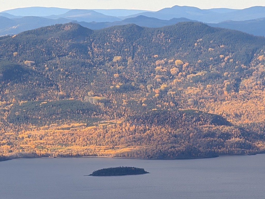 Photo: Dru! · CC BY-NC 4.0 · Noncommercial onlyViewpoints · Fort St. James
Mount Pope / Nak'al
A sustained mountain trail above Fort St. James reaches a summit gazebo overlooking Stuart Lake and the ranges to the north. The park is day use only, with no drinking-water…
Moderate / 13 km round trip / Not established gainRead guide →- Camping · Fort St. James
Paarens Beach campground
A Stuart Lake campground with a broad beach and boat launch, convenient for exploring the Fort St. James area. Nearby mountain hikes require a separate drive and should not be…
Camping destination · access & overnight informationRead guide → - Camping · Fort St. James
Sowchea Bay campground
A Stuart Lake campground west of Fort St. James, with many sites near the water. It is primarily a lake camping destination rather than a documented long hiking route.
Camping destination · access & overnight informationRead guide → - Hikes · Fort St. James
Shass Mountain
A mountain walk reached by paddling Grassham Lake first. The boat approach is an essential part of the outing, and the summit’s hiking distance does not include travel across the…
Hard / 12.4 km round trip / Not established gainRead guide →