Beaumont campground
A Fraser Lake camping and beach stop beside Highway 16, with a short interpretive walk through local natural and historical features. It is separate from the mountain hikes around Fraser Lake.
Sources reviewed . This is a research date, not a trail inspection.
The locations GPX contains sourced points with their recorded roles. It contains no trail track or connecting route.
Site map
A reusable trail line has not yet been verified for this outing. Any location pin shows the published location described above; it does not draw the hike or establish a navigable approach.
Getting there & parking
Follow Highway 16 west from Prince George to the signed Beaumont Park access, approximately 134 km from the city.
Full access notes
Use the signed Beaumont Park turn from Highway 16 on the southeastern side of Fraser Lake. BC Parks describes the park as west of Prince George, near Fort Fraser and Fraser Lake; its overview’s headline 134 km distance is approximate and should not replace the highway signs or entrance map. Follow campground directions inside the park and check the current season and reservations before arriving.
campground area. Source-published approximate distance from Prince George; not a current routed travel time.
134 km from town in the source description. campground area. Source-published approximate distance from Prince George; not a current routed travel time.
Map position: 54.05728, -124.61577 · official park map reference; campground entrance unverified. BC Parks detailed-map link explicitly publishes center=-124.615773,54.057282. Marker locates the associated park as chosen by BC Parks, not an individual campsite or verified campground entrance. Do not calculate trailhead driving distance from this point.
At the campsite
The local walking option is a self-guided interpretive trail with eight panels about the area’s plants, wildlife and history. Follow its designated path and return to the campground or beach access rather than assuming it is a longer mountain circuit. The beach has a marked swimming area with an abrupt drop-off, and no lifeguard is provided. A boat launch lies approximately 500 m from the campground. Fraser Lake can develop sudden heavy winds, so boating plans need a separate weather check. Keep pets leashed and out of beach areas as required by BC Parks.
Conditions & seasons
description: Closed during winter; precise operating dates unverified
Winter route
Winter vehicle access is unavailable. Walking access may be possible, but the park warns that parking might not be available.
These are dated research notes. Open the trip planner for current available weather and advisory feeds; no alert found does not establish that a trail or road is open.
Camping & overnight plans
Established BC Parks frontcountry camping. Current operating dates, fees and reservable sites belong to the official booking listing; the park is described as closed in winter.
Photos of Beaumont campground
A photograph with confirmed reuse permission has not yet been added to this guide.
Surrounding area and context
These photographs provide context; they do not establish the appearance of this selected route or facility.
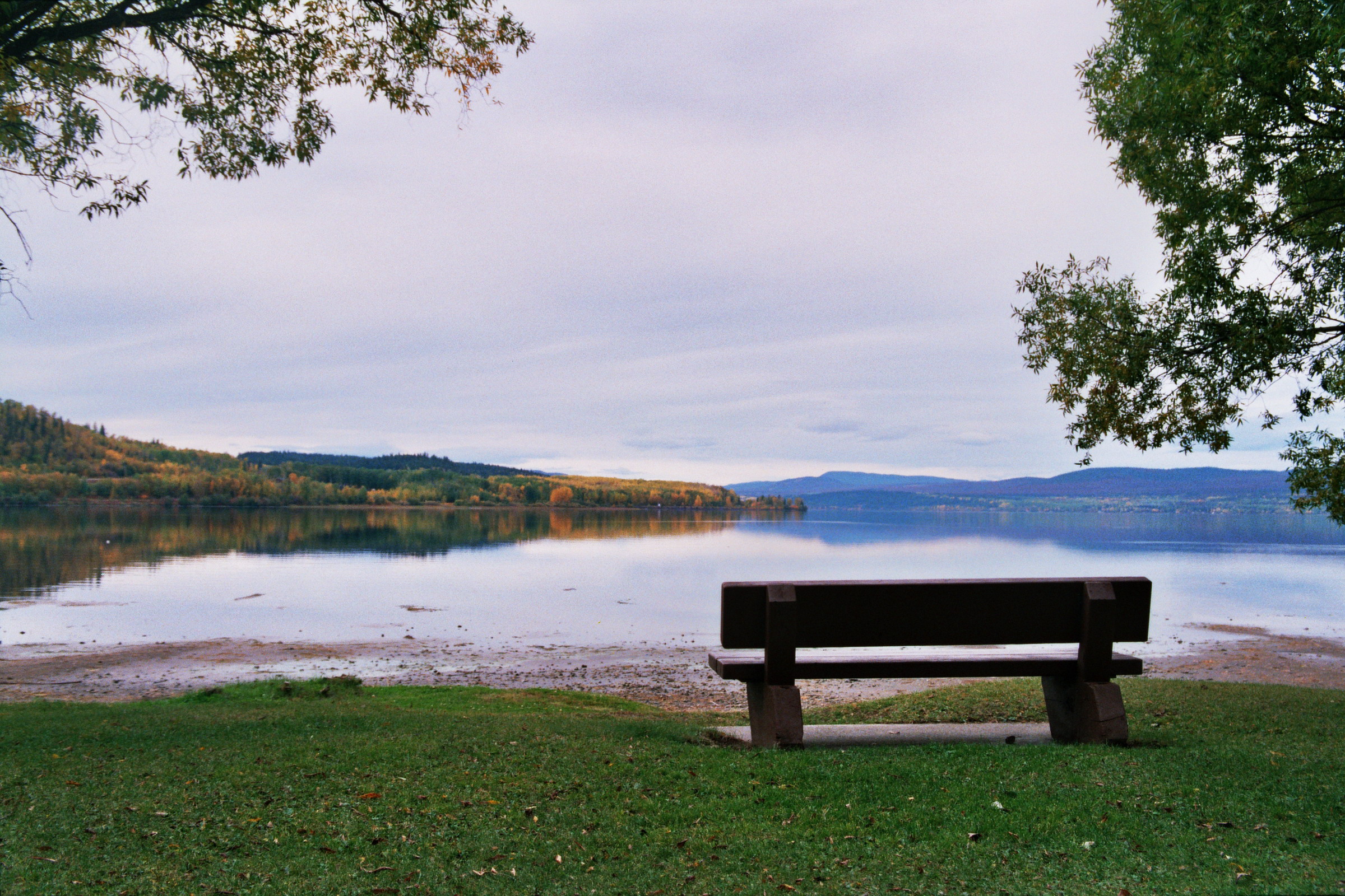
Take this guide with you
Choose a trip pack or an available individual sheet for your map case.
Sources, dates & research notes
Descriptions are written for this guide from the linked evidence. Source review dates, published reports and field observations can differ. Photographs and route lines retain their own attribution and reuse terms.
- https://bcparks.ca/beaumont-park/ (opens original source)
- https://governmentofbc.maps.arcgis.com/apps/instant/basic/index.html?appid=4b3eb47c25ff45fa9f6bff45e3f2a389¢er=-124.615773,54.057282&level=11 (opens original source)
Details still being researched
- gainM
- distanceKm
- dogs
- accessibility
Nearby and related guides
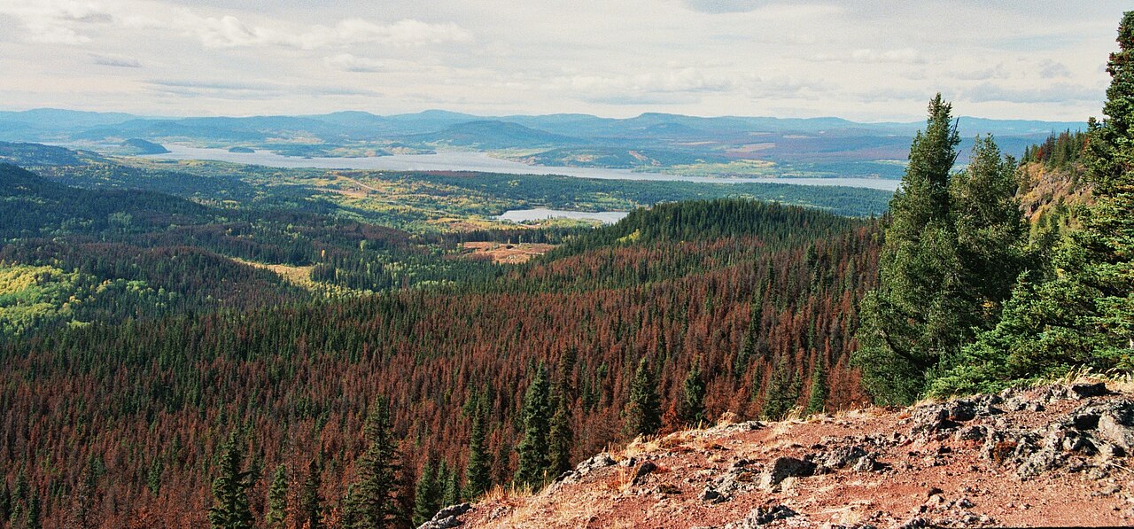 Photo: Themightyquill · CC BY-SA 3.0Viewpoints · Vanderhoof & Fraser Lake
Fraser Mountain
A steep forest climb reaches several viewpoints above Fraser Lake and the former fire-lookout site. The old tower is no longer a reliable landmark or attraction: a later source…
Moderate / 8.2 km round tripRead guide →- Hikes · Vanderhoof & Fraser Lake
Ormond Lake Trail
A historical lake route affected by the 2018 Shovel Lake Fire. The municipal guide lists it as indefinitely closed; it should remain a planning reference until reopening and safe…
Read the access and route notesRead guide → - Waterfalls · Vanderhoof & Fraser Lake
Cabin Creek Falls
A short, mostly level forest walk reaches the upper view of a small waterfall off Holy Cross FSR. The easy approach ends beside slippery rock, and the lower falls are not a safe…
1 km round tripRead guide → - Hikes · Vanderhoof & Fraser Lake
Black Point Trail
A historical forest trail descends to Francois Lake and continues along shore to Black Point. The municipal brochure still carries an indefinite closure after the 2018 fires, so…
3 km round tripRead guide → - Camping · Vanderhoof & Fraser Lake
Greer Creek recreation site
A small four-site camping area on the Nechako River below the mouth of Greer Creek. This river campsite is separate from the Greer Creek Falls hiking trailhead on Kluskus FSR.
Camping destination · access & overnight informationRead guide → - Waterfalls · Vanderhoof & Fraser Lake
Greer Creek Falls
A short forest approach ends beside an approximately 8 m waterfall southeast of Vanderhoof. The final descent is steeper than the easy woodland start, and the different published…
Easy / 3 km round trip / 95 m gainRead guide →