East / Crescent Spur; Loos Road route about26km from highway
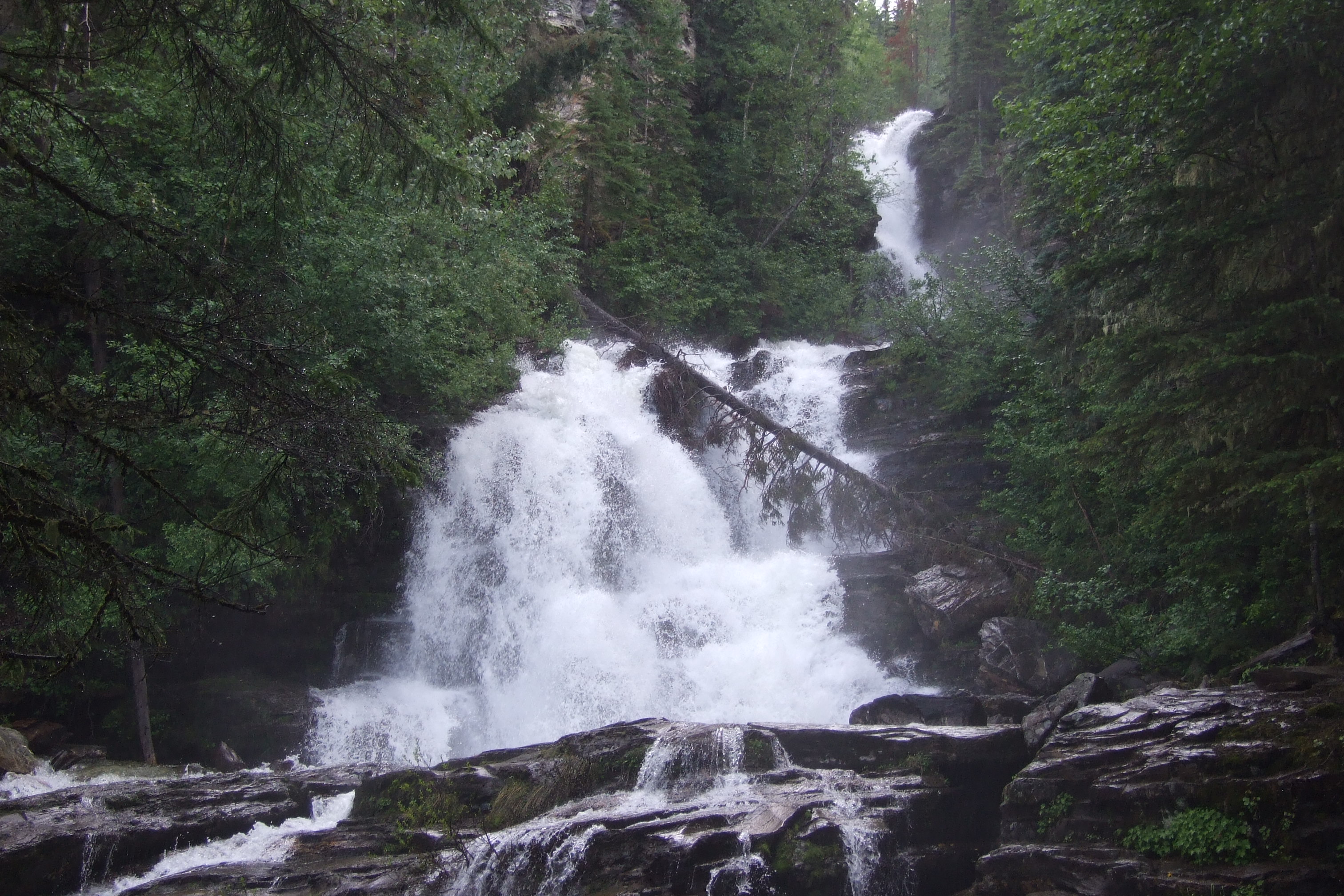
Hellroaring Falls
Waterfall destination; public lawful access and current trailhead require confirmation.
0.54 km round trip65 m gain
A LOCAL FIELD GUIDE
Find a walk close to home, a waterfall, or a day in the mountains.
East / Crescent Spur; Loos Road route about26km from highway
Waterfall destination; public lawful access and current trailhead require confirmation.
Fraser Lake / Kenney Dam / west
A forest path follows the Cheslatta River corridor to a cliff-side waterfall viewpoint. The destination is an exposed edge above moving water,…
Kenney Dam / west
A protected volcanic gorge preserves the dry Grand Canyon of the Nechako near Kenney Dam. It is a landscape destination with no developed canyon…
Goat River / Highway 16 East
Linear trail through old cedar forest; Loos-to-highway and Loos-to-FSR are different sections.
Goat River / Highway 16 East
Old-road start climbs to former cabin site, then unmarked alpine terrain continues to the summit.
Fraser Lake
A historical forest trail descends to Francois Lake and continues along shore to Black Point. The municipal brochure still carries an indefinite…
Region to confirm
A mountain walk reached by paddling Grassham Lake first. The boat approach is an essential part of the outing, and the summit’s hiking distance…
East / Crescent Spur; Loos Road route about36km from highway
Waterfall destination; public lawful access and current trailhead require confirmation.
Tumbler Ridge / Monkman / Peace Rockies
Mostly level forest approach to a canyon-side waterfall viewpoint, with a short side branch to a smaller fall.
Pine Pass
A short roadside stop in Pine Pass provides a fenced view of a cascading waterfall. It is a day-use waterfall visit rather than a developed…