A LOCAL FIELD GUIDE

Hiking around Prince George

Find a walk close to home, a waterfall, or a day in the mountains.

Browse regions

Places to go

31 to 40 of 324 places · 318 on the map

Pilot Mountain

Garvin’s Canyon

A local forest outing from the Pilot Mountain neighbourhood, described for hiking and snowshoeing. The available trip report provides a start…

Not established · full outing distance not confirmedSee time notesRecorded outing: 1 hour 6 minutes; not a general pace estimate
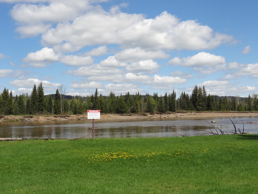
The Nechako River beside the open grass at Wilkins Park
Photo creditWilkins | DSC04623 · Andrew Kurjata · CC BY-NC-SA 2.0 · Photographed May 19, 2013 · Provider display size downloaded; no local edits. Display may crop the view. Adaptations retain the image licence. · Noncommercial only

Near Prince George

Wilkins Regional Park

Gentle paths through large cottonwoods lead beside the Nechako River near Miworth. A picnic shelter and open field make it a useful short outing…

About 41 min from PGLess than 3 hours

Northwest of Prince George

Pilot Mountain

A gated service road and a separate forest-path option climb to viewpoints above the city. The shorter Pilot Mountain outing is distinct from…

Not established · full outing distance not confirmed2 hours

Tabor Mountain

Tabor Mountain

A large recreation network east of Prince George offers forest loops, ski trails and several shelters. A named loop and its entrance are the…

Not established · full outing distance not confirmedVaries by trails taken

Near Prince George

Kristian Winther Regional Park

A short Salmon River stroll with picnic facilities north of Prince George. Its 700 m riverside path is a compact day-use visit rather than a…

Not established · full outing distance not confirmed

Blackwater & southwest

West Lake Provincial Park

A lake-and-forest day trip southwest of Prince George, with a swimming beach, picnic areas and paths through the wetlands north of the parking…

Red Rock

Coburn Trail

The Coburn trails near Red Rock combine forest walking with views from bluffs above the Fraser River. The easier published outing is an…

Not established · full outing distance not confirmed4 hours

Tabor Mountain

Birchleg Trail

A forest loop on the north side of Tabor Mountain links named shelters and the Hickory Wing trail. Junction maps allow longer outings, so the…

About 22 min from PG10 km · loop4 hours
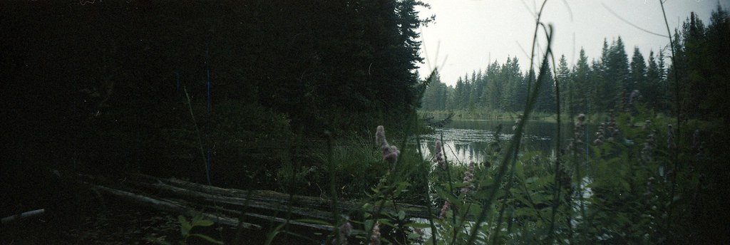
Pond and forest at Goodsir Nature Park
Photo creditGoodsir Nature Park · ₡ґǘșϯγ Ɗᶏ Ⱪᶅṏⱳդ · CC0 1.0 · Photographed Aug 6, 2026 · Downloaded source display image; no local image edits. Display may crop the view. Any adaptations retain the image licence.
North of Prince George

Goodsir Nature Park

A privately developed botanical park combines woodland walking, labelled plants and trees, gardens and an indoor naturalist collection. It is…

About 34 min from PG3 km of trails

Near Prince George

Ness Lake Regional Park

A small lake park with a beach and short walking network near Ness Lake Road. It is useful for a gentle woodland walk followed by a picnic or…

1.2 km of trails