Waterfall-base branches closed
YORA reports both rope-assisted branches closed because of avalanche damage and rotten snow.
Notice dated August 19, 2026 · YORA / Hike Valemount (opens original source)These are the steeper branches from the Aloha area down toward the waterfall bases, separate from the main rocky lookout. The local guide’s August 2026 notice closes both rope-assisted branches because of avalanche damage and rotten snow. Do not follow an old track or rope into the closed sections. The approximately 2 km historical outing describes those branches when usable; it is not a currently available route recommendation. The main lookout has a different, shorter distance and its own condition assessment.
Sources reviewed . This is a research date, not a trail inspection.
YORA reports both rope-assisted branches closed because of avalanche damage and rotten snow.
Notice dated August 19, 2026 · YORA / Hike Valemount (opens original source)The locations GPX contains sourced points with their recorded roles. It contains no trail track or connecting route.
A full-route elevation profile is not available yet.
A reusable trail line has not yet been verified for this outing. Any location pin shows the published location described above; it does not draw the hike or establish a navigable approach.
From Valemount, follow Whiskey Fill Road south toward Canoe Forest Service Road and the marina signs. At the West Canoe Forest Road fork, turn right and continue to approximately the 15 km marker; the trail begins just before that marker. The local guide recommends high clearance and warns about active logging. Follow road signs and any radio requirements, keep the travelled road clear, and do not bring an RV or trailer up an approach with limited turning space.
Driving access has not been established for this selected route option; check its original sources.
Map position: 52.68785, -119.06683 · destination reference point. source-published; not field-verified This point is not a confirmed starting point for the selected route option.
These are the steeper branches from the Aloha area down toward the waterfall bases, separate from the main rocky lookout. The local guide’s August 2026 notice closes both rope-assisted branches because of avalanche damage and rotten snow. Do not follow an old track or rope into the closed sections. The approximately 2 km historical outing describes those branches when usable; it is not a currently available route recommendation. The main lookout has a different, shorter distance and its own condition assessment.
Winter use is closed because of avalanche exposure. The August 2026 branch closure extends beyond that normal winter restriction; a summer date alone does not establish that these damaged descents have reopened.
The main viewpoint approach was mostly cleared by August 2026; both waterfall-base branches remained closed.
Notice or observation: August 19, 2026 · Source checked October 17, 2026 · YORA / Hike Valemount (opens original source)These are dated research notes. Open the trip planner for current available weather and advisory feeds; no alert found does not establish that a trail or road is open.
On-route camping permission has not been established for this outing. Check the relevant land manager before planning an overnight stay; a mapped lake, cabin or previous tent location does not confirm permission.
A photograph with confirmed reuse permission has not yet been added to this guide.
These galleries stay on their photographers’ original websites.
Choose a trip pack or an available individual sheet for your map case.
Descriptions are written for this guide from the linked evidence. Source review dates, published reports and field observations can differ. Photographs and route lines retain their own attribution and reuse terms.
Steep climb to meadows and alpine lake.
Hard / 8.4 km round trip / 800 m gainRead guide →Route-finding, sidehill and boulders reach alpine lakes; cabin near approach.
Hard / 9 km round trip / 700 m gainRead guide →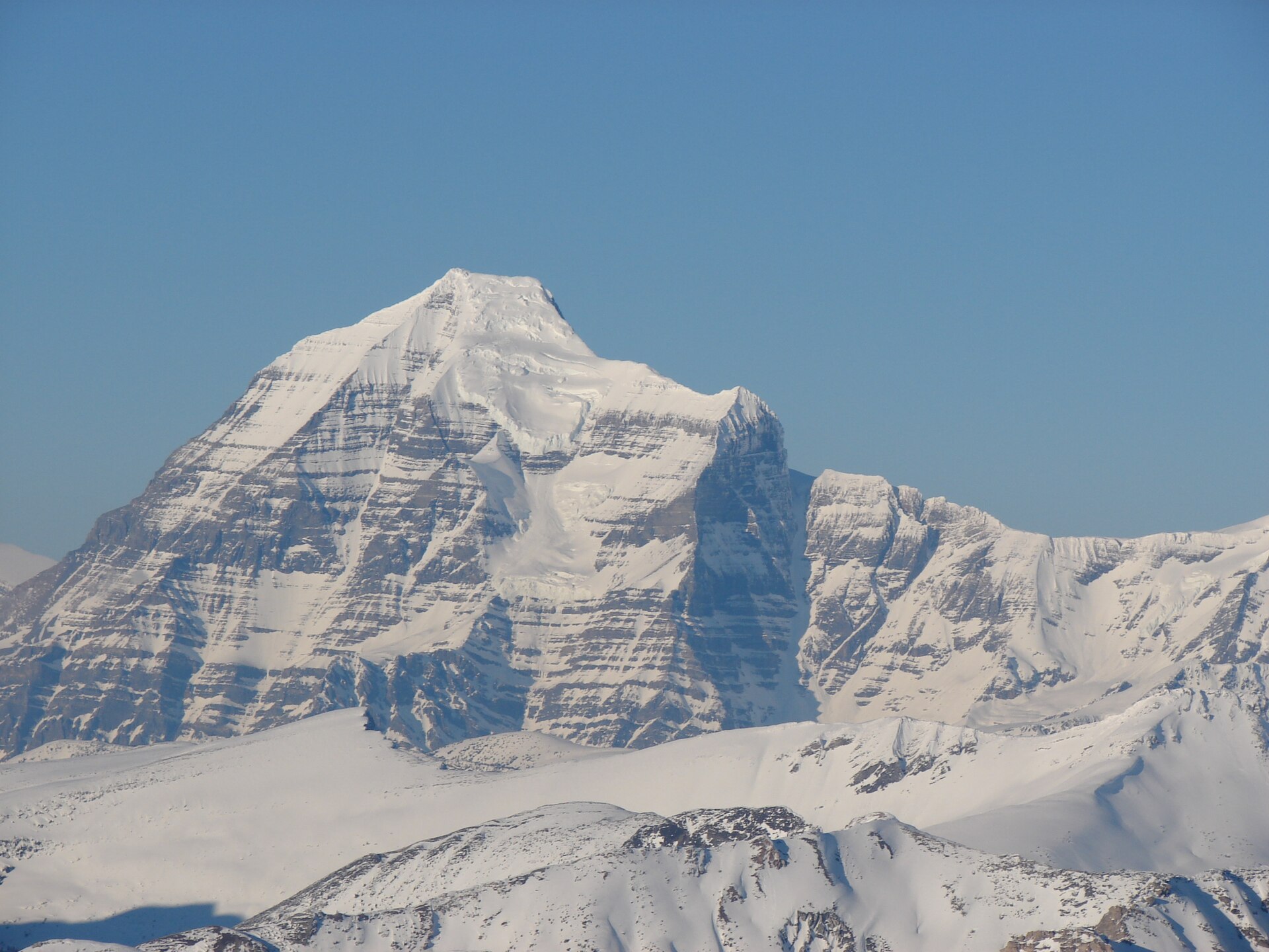 Photo: Rufus Hawthorne · CC BY-SA 3.0Hikes · Valemount & Mount Robson
Carson's Peak adds450m climbing from col; main McKirdy summit more technical.
Read the access and route notesRead guide →A forest climb to alpine meadows and a backcountry cabin.
Hard / 12 km round trip / 500 m gainRead guide →Meadow junction continues toward ridge.
Hard / 20 km round trip / 700 m gainRead guide →Forest traverse toward Kinbasket Lake; arrange return transport.
Moderate / 9.7 km point to point / 200 m gainRead guide →