Valemount & Mount Robson
Plan walks and mountain outings around Valemount, Mount Robson and the northern Columbia Mountains. Use park notices and reservation information alongside the individual guides, particularly for overnight trips and routes with seasonal access changes.
51 of 51 places
Open map search →- hike · Valemount & Mount Robson
Mica Mine and ridge
Old mining trail reaches alpine workings; ridge ascent has no trail.
Hard · 9.65 km round trip · 1,018 m gain · 6–8 hours returnAbout 269 min drive from PGRead guide → - hike · Valemount & Mount Robson
Little Lost Grind
Steep minimally maintained extension.
Read the approach and route notesRead guide → - hike · Valemount & Mount Robson
Little Lost Lake circuit
Adds circuit around lake.
Moderate · 4.5 km round trip · 1¾–2½ hours depending on picnic or circuit optionRead guide → - hike · Valemount & Mount Robson
Little Lost Lake picnic area
Climb then level approach to lakeside picnic spots.
Moderate · 3.4 km round trip · 120 m gain · 1¾–2½ hours depending on picnic or circuit optionAbout 223 min drive from PGRead guide → 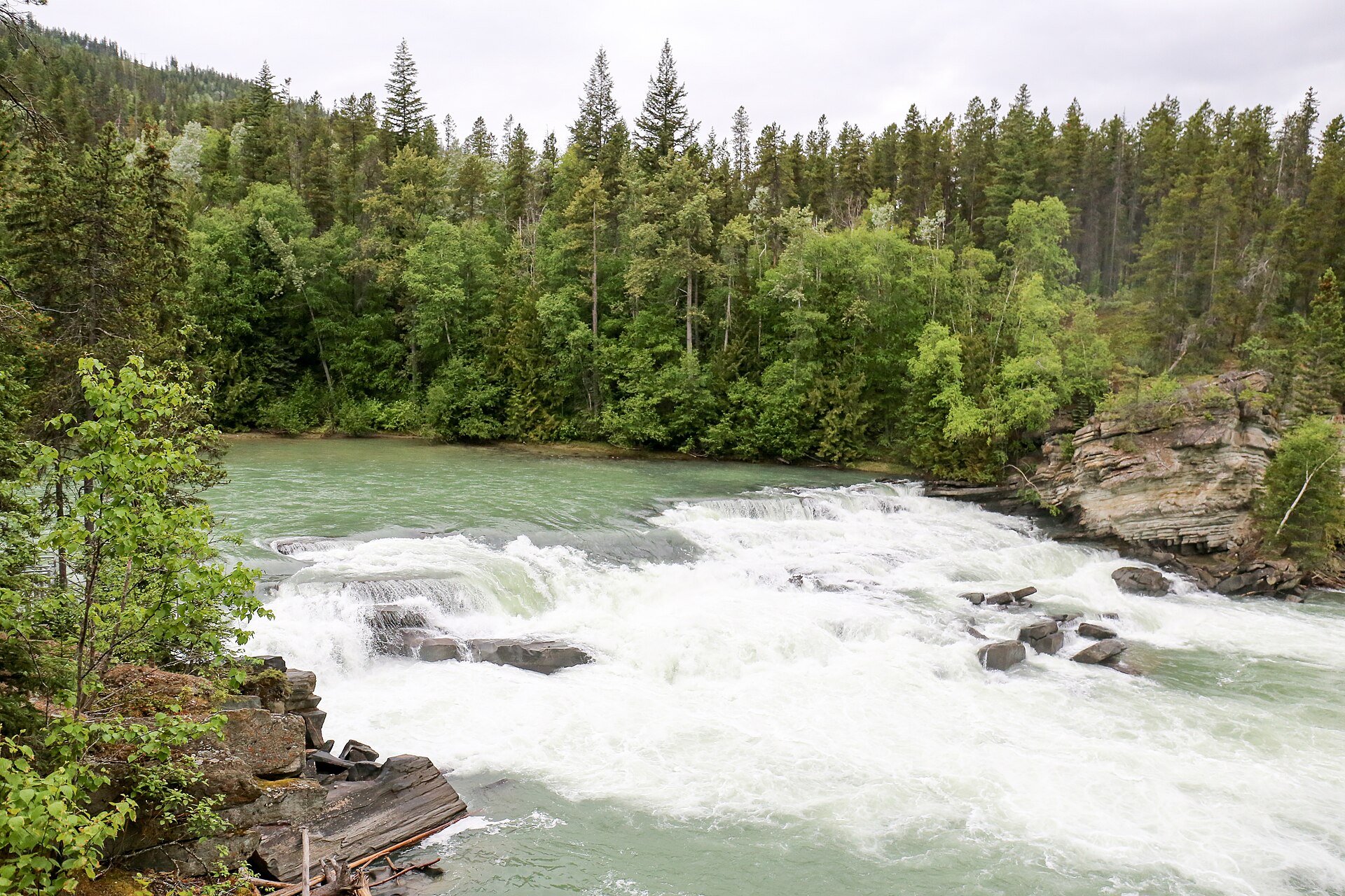 Photo: Ralf Lotys (Sicherlich) · CC BY 4.0waterfall · Valemount & Mount Robson
Rearguard Falls
Designated trail to fenced falls viewpoint.
0.4 km round trip · 30 m gain · About 30 minutes returnRead guide →- hike · Valemount & Mount Robson
Jackman Flats Big Dune Trail
Interconnected sandy pine-and-lichen trail network.
Moderate · 6.2 km loop · About 2 hoursAbout 227 min drive from PGRead guide → - hike · Valemount & Mount Robson
Jackman Flats Juniper Trail
Interconnected sandy pine-and-lichen trail network.
Moderate · 3.4 km loop · Not separately publishedAbout 227 min drive from PGRead guide → - hike · Valemount & Mount Robson
Jackman Flats Lichen Loop
Interconnected sandy pine-and-lichen trail network.
Moderate · 2.3 km loop · Not separately publishedAbout 227 min drive from PGRead guide → - hike · Valemount & Mount Robson
Jackman Flats Pine Tree Loop
Interconnected sandy pine-and-lichen trail network.
Moderate · 1.4 km loop · About 30 minutesAbout 227 min drive from PGRead guide → 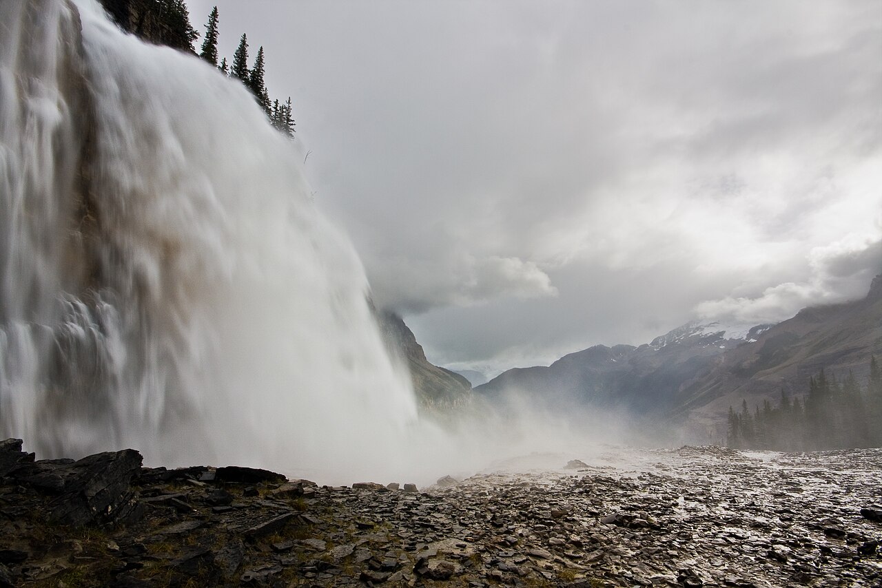 Photo: Jeffrey Pang from Berkeley, CA, USA · CC BY 2.0waterfall · Valemount & Mount Robson
Emperor Falls
A short side path descends from the Berg Lake corridor to the powerful Emperor Falls viewpoint. Reaching that junction involves the long approach through Kinney Lake and…
See time notes Long full-day outing or stop on a backpacking trip; no separate source durationRead guide →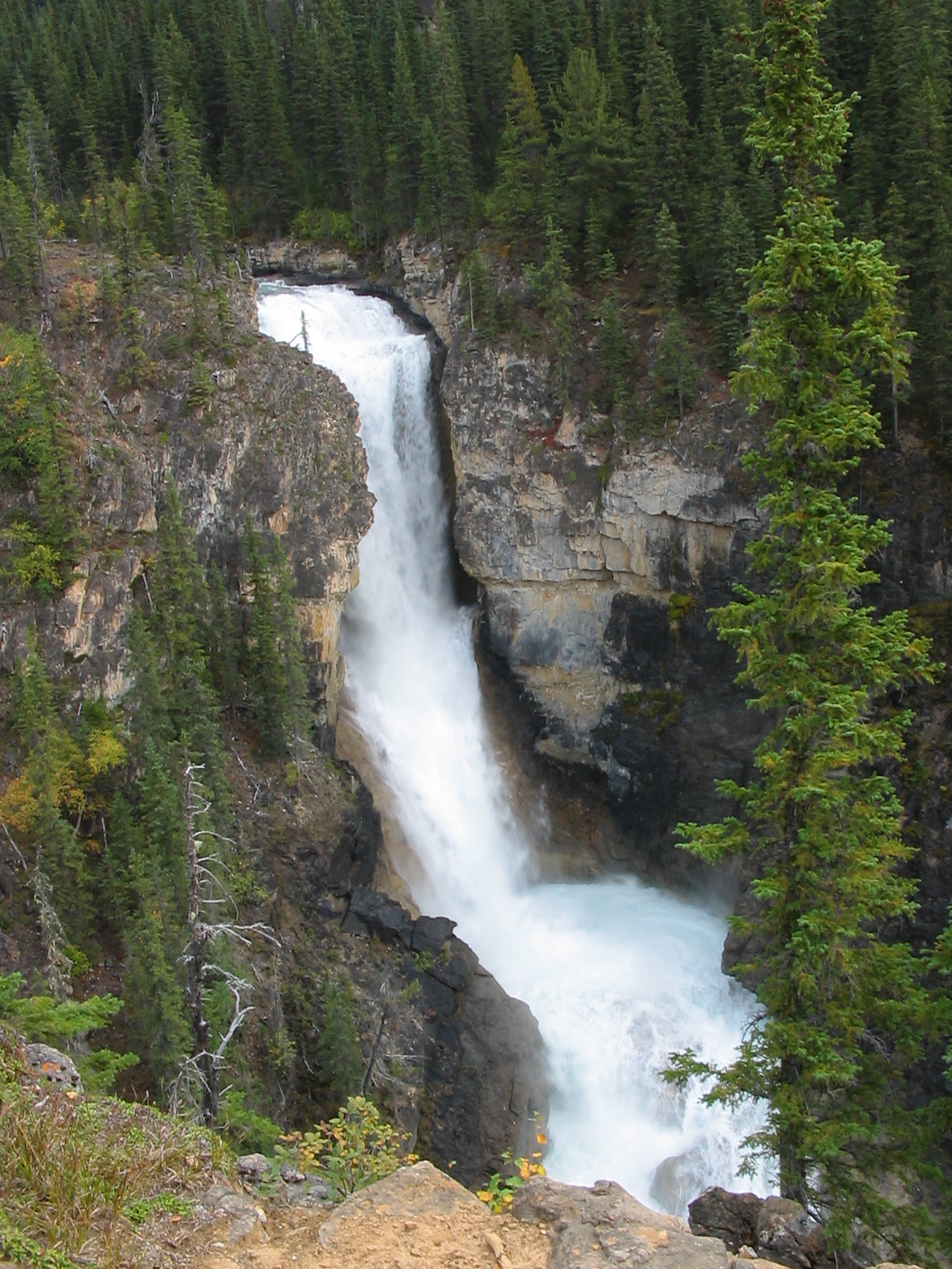 Photo: Neil · CC BY 2.0waterfall · Valemount & Mount Robson
Falls of the Pool
Visit a waterfall viewpoint on the steep climb through the Valley of a Thousand Falls, above Whitehorn. Allow for the full Berg Lake Trail approach and the return through Kinney…
See time notes Long full-day outing or stop on a backpacking trip; no separate source durationRead guide →- hike · Valemount & Mount Robson
Hargreaves Lake Route
From the upper Berg Lake camps, climb to views of Hargreaves Lake and its glacier, then combine the visit with Toboggan Falls and a lakeshore return. The long approach to the…
Moderate · 6 km loop · 340 m gain · 2–4 hoursRead guide → 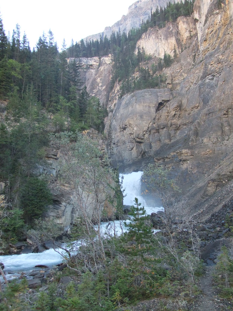 Photo: HandsLive · CC BY 2.0waterfall · Valemount & Mount Robson
White Falls
White Falls is one of the first waterfall stops as the Berg Lake Trail steepens beyond Whitehorn. The rocky viewpoints lie well into the backcountry, with the full return passing…
See time notes Long full-day outing or stop on a backpacking trip; no separate source durationRead guide →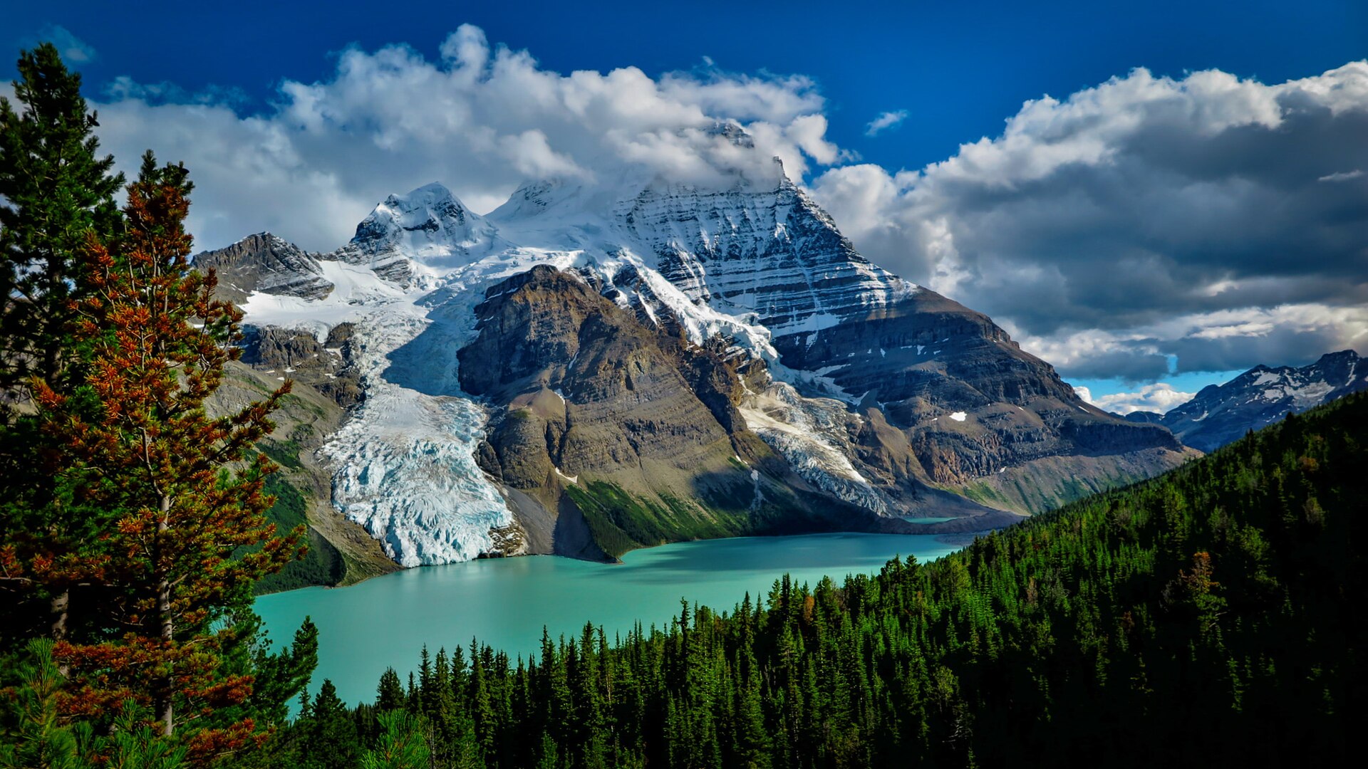 Photo: Matt Scobel · CC BY 3.0waterfall · Valemount & Mount Robson
Toboggan Falls Route
Visit Toboggan Falls on the side trail above Berg Lake campground. For a longer day outing, the separately listed 6 km Hargreaves lookout loop combines the waterfall with a…
Read the approach and route notesRead guide →- walk · Valemount & Mount Robson
Journey Through Time
Self-guided interpretive walk.
Read the approach and route notesRead guide → - viewpoint · Valemount & Mount Robson
Robson Meadows Lookout
Climb to bench overlooking valley.
Moderate · 6 km round trip · 328 m gain · About 2½ hours return for first approach; 2 hours for secondAbout 234 min drive from PGRead guide → 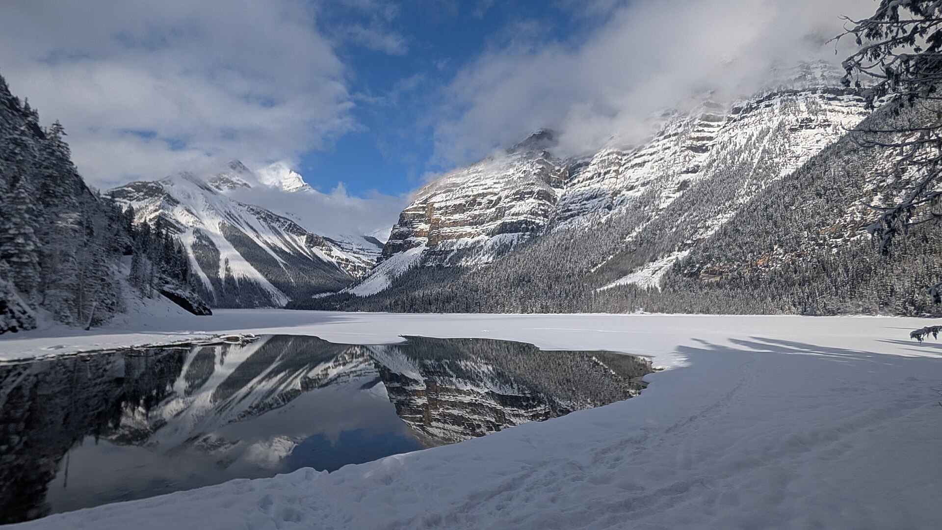 Photo: Joli Rumi · CC BY-SA 4.0hike · Valemount & Mount Robson
Kinney Lake day hike
First portion of Berg Lake corridor to lakeside destination.
Moderate · 10 km round trip · 131 m gain · See time notes YORA estimates 2–2½ hours return; allow for stops and individual paceAbout 240 min drive from PGRead guide →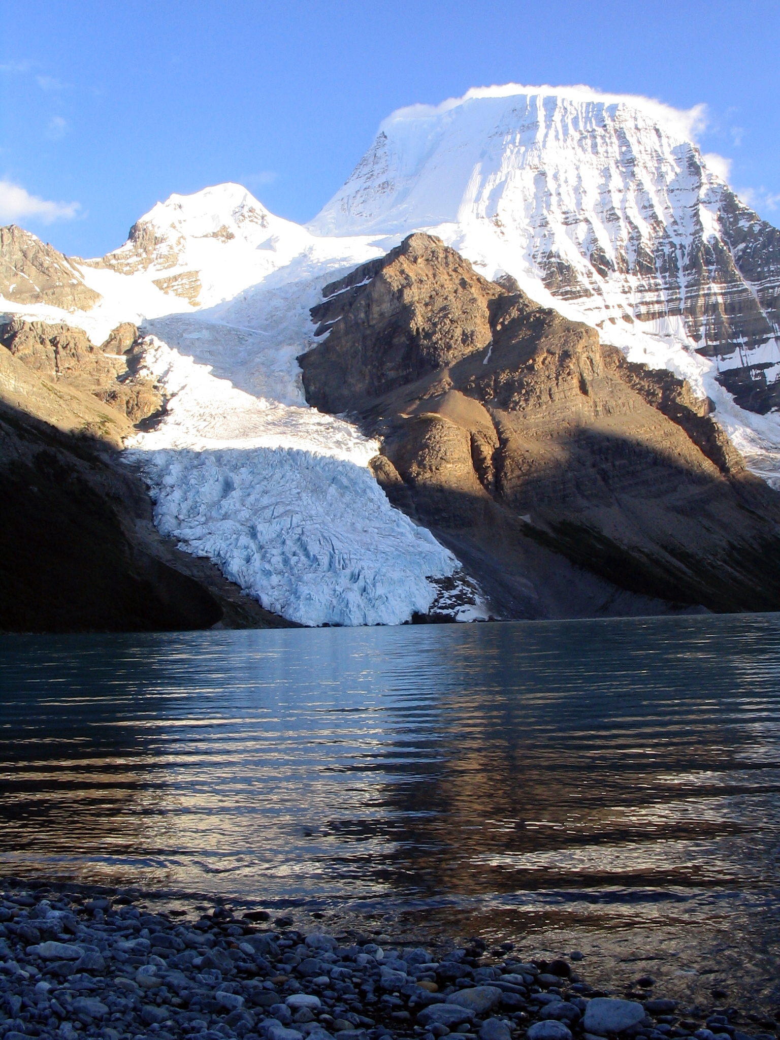 Photo: Airj1012 at English Wikipedia · CC BY 3.0hike · Valemount & Mount Robson
Berg Lake Trail / Robson Pass
Kinney–Whitehorn–Emperor–Berg–Robson Pass corridor.
Read the approach and route notesAbout 240 min drive from PGRead guide →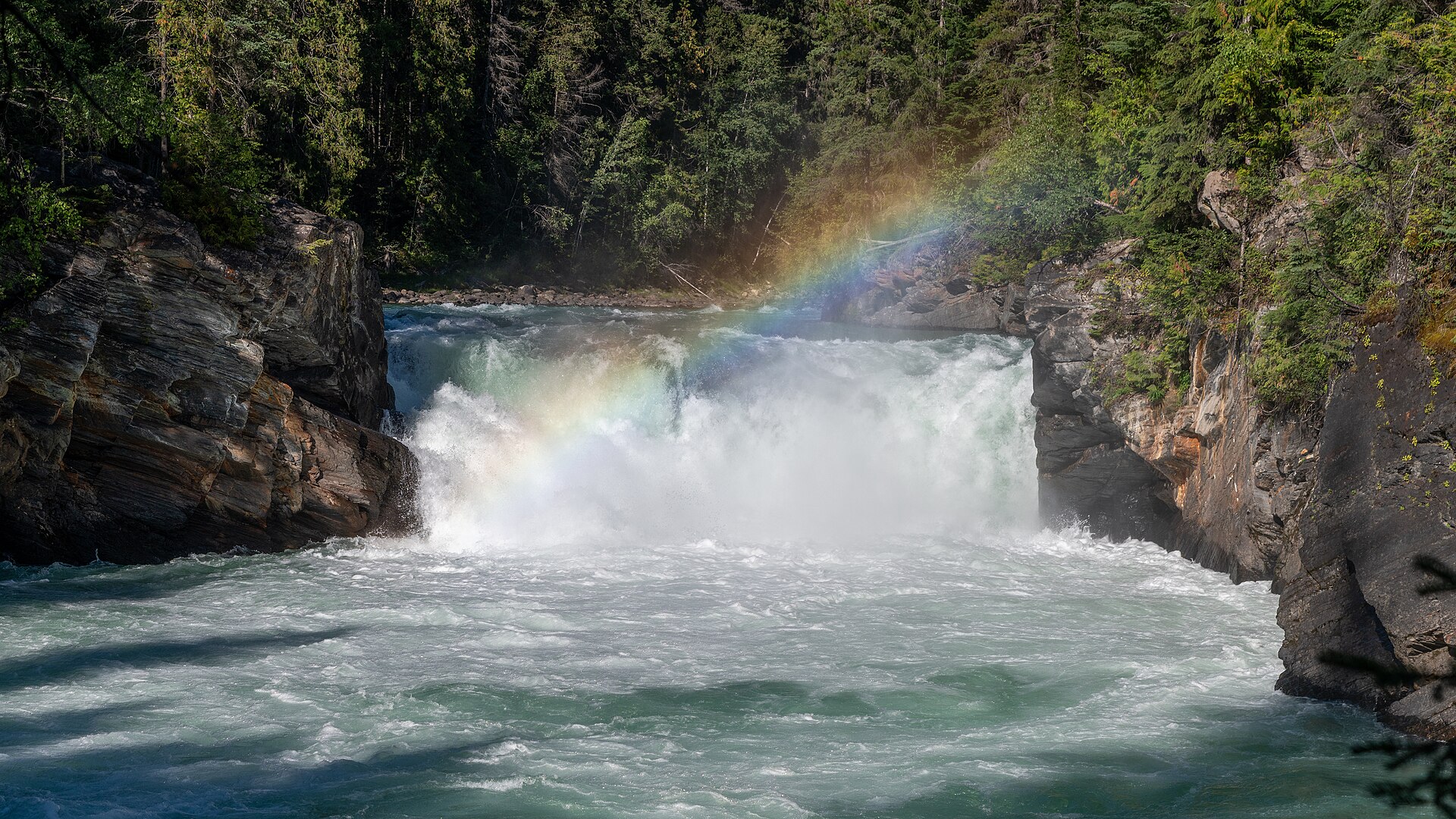 Photo: Christoph Strässler from Oberdorf BL, Schweiz · CC BY-SA 4.0waterfall · Valemount & Mount Robson
Overlander Falls riverside route
Fraser-side walk past Hogan's Cabin toward falls.
Moderate · 5 km round trip · 36 m gain · About 2 hours returnAbout 234 min drive from PGRead guide →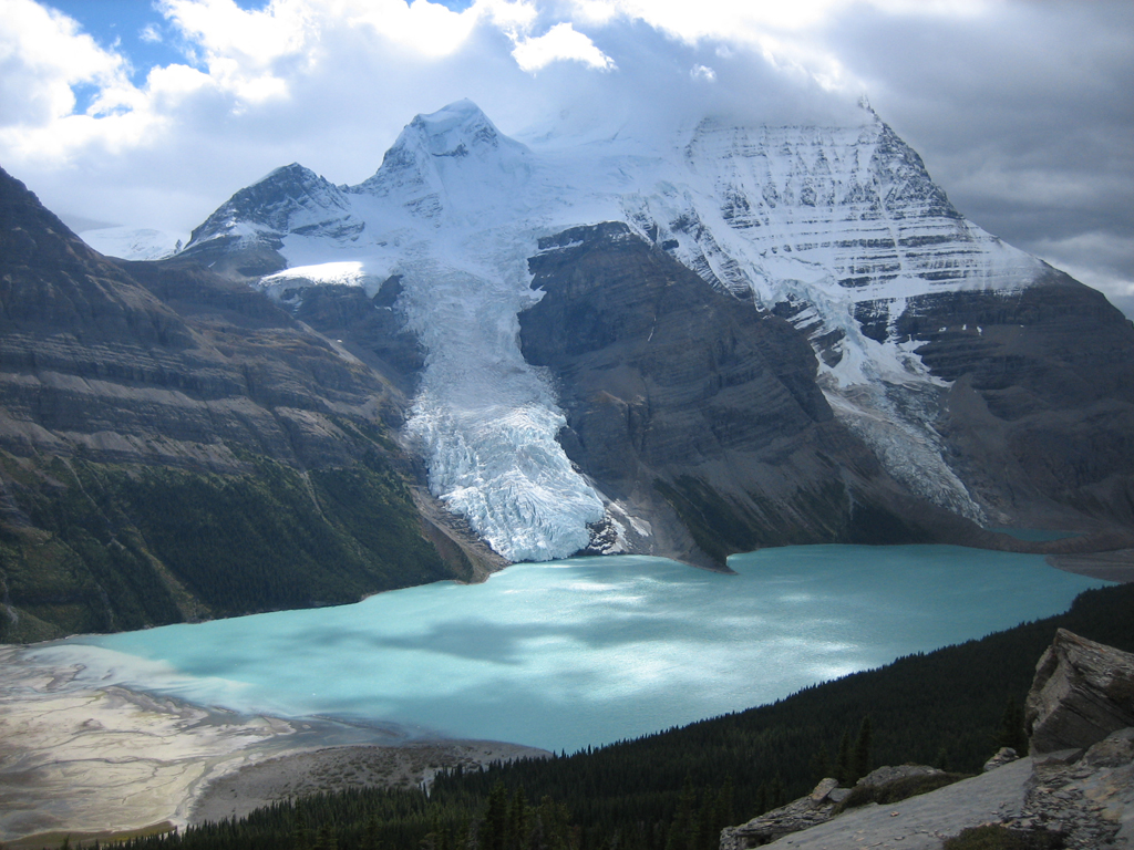 Photo: Olivier.pilot at English Wikipedia · Public domainhike · Valemount & Mount Robson
Mumm Basin Route
This alpine route above Berg Lake crosses shale and rocky ground with views toward the Robson Glacier and Adolphus Lake. A 2025 report describes landslide damage and a signed…
7 km loop · 450 m gain · 3½–5 hoursRead guide →- hike · Valemount & Mount Robson
Mount Trudeau meadows
Steep path enters wet meadow with lake and waterfall.
Hard · 6.4 km round trip · 425 m gain · 3–5 hours returnAbout 290 min drive from PGRead guide → - Photo: Christoph Strässler from Oberdorf BL, Schweiz · CC BY-SA 4.0waterfall · Valemount & Mount Robson
Overlander Falls short route
Short descent to waterfall viewpoint.
Moderate · 0.6 km round trip · 46 m gain · About 45 minutes returnAbout 235 min drive from PGRead guide → - hike · Valemount & Mount Robson
Mount Terry Fox
Original ridge route reaches radio tower then branches toward summit and monument; do not combine old and new approach metrics.
Expert · 18 km round trip · 1,740 m gain · 10 hoursRead guide → - hike · Valemount & Mount Robson
Big Rock / Lower Teepee Lake loop
Teepee drainage routes split toward lake and Big Rock/summit.
Hard · 13 km round trip · 950 m gain · Not separately publishedRead guide →