Waterfalls around
Prince George & northern BC
Explore waterfall walks and roadside viewing areas around Prince George, Pine Pass, the Robson Valley and Tumbler Ridge. Each guide distinguishes the viewing area from longer routes. Waterfall height is separate from the elevation gained on a walk.
46 of 46 places
Open map search →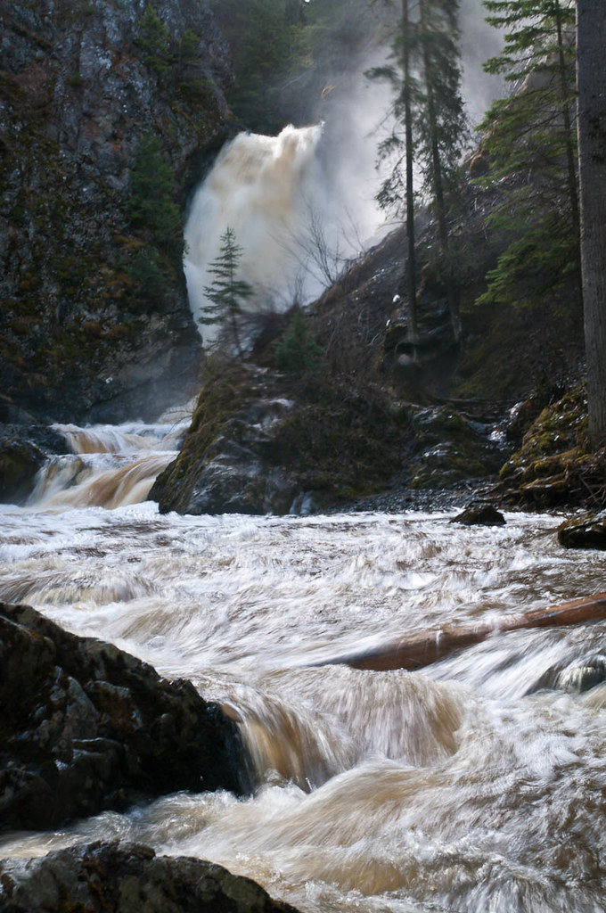 Photo: John Freeland · CC BY 2.0waterfall · Hixon & Quesnel
Hixon Falls
A short path leads into the Hixon Creek canyon to the lower waterfall. This is a useful stop on the Highway 97 corridor, with a separate short walk to Hixon Chutes nearby.…
Easy · 0.24 km round trip · 30 minRead guide →- waterfall · Bear Lake & northern lakes
Muskeg Falls (Bear Lake area)
A largely gentle forest walk reaches a creekside waterfall picnic area far along the Davie–Muskeg resource road. The final descent is considerably steeper than the approach, and…
Easy · 2.6 km round tripRead guide → 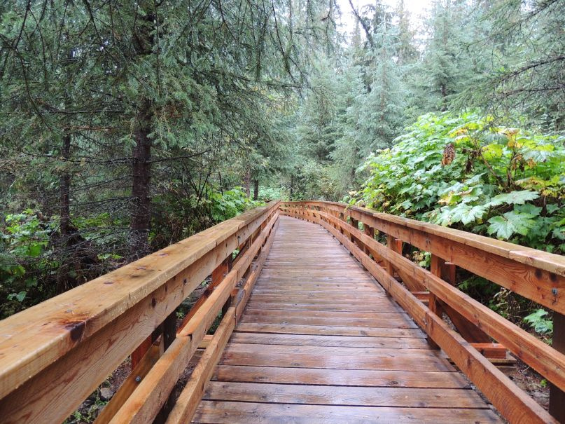 Photo: Kevin M Klerks from Kincardine, Canada · CC BY 2.0waterfall · Upper Fraser & Sugarbowl
Ancient Forest
Cedar-forest paths include a waterfall and an accessible boardwalk; the accessible section needs separate length and grade data.
Easy · 1 - 3 hoursRead guide →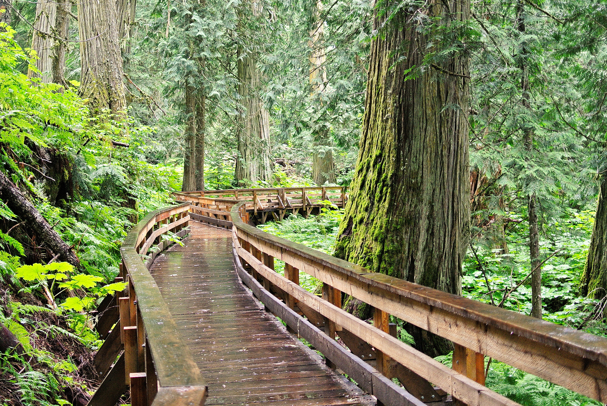 Photo: Gord Schindell · CC BY 3.0waterfall · Upper Fraser & Sugarbowl
Ancient Forest Boardwalk Trail
Forest boardwalk reaches large trees and waterfall.
Read the approach and route notesRead guide →- waterfall · Upper Fraser & Sugarbowl
Kittil Falls
Waterfall reached by a short path from Kittil Falls Recreation Site.
0.4 km round trip · Approx. 50 m gainRead guide → - waterfall · Vanderhoof & Fraser Lake
Greer Creek Falls
A short forest approach ends beside an approximately 8 m waterfall southeast of Vanderhoof. The final descent is steeper than the easy woodland start, and the different published…
Easy · 3 km round trip · 95 m gain · 1 hourRead guide → - waterfall · Upper Fraser & Sugarbowl
Twin Falls near Close-to-the-Edge
A remote waterfall outing near Close-to-the-Edge Park, distinct from the park’s technical cave system.
Read the approach and route notesRead guide → - waterfall · Bear Lake & northern lakes
War Falls
A short walk in Carp Lake Park reaches two distinct cascades on the McLeod River. The falls are close to War Lake camping, but the viewpoint is a day-walk destination rather than…
ModerateRead guide → - waterfall · Upper Fraser & Sugarbowl
Herrick Falls
Waterfall destination; public lawful access and current trailhead require confirmation.
Read the approach and route notesRead guide → - waterfall · Upper Fraser & Sugarbowl
Framstead Falls
A remote waterfall at the meeting of Framstead Creek and Herrick Creek, with access details still needing confirmation.
Read the approach and route notesRead guide → - waterfall · Hixon & Quesnel
Deserters Creek Falls
Deserter’s Creek, also called Deep Creek locally, follows a creek valley to a waterfall and viewpoints southwest of Quesnel. The walking line first follows Narcosli Creek and then…
Read the approach and route notesRead guide → - waterfall · Fort St. James
Tsilcoh Falls
A short forest approach north of Fort St. James reaches a waterfall, picnic area and pit toilets. The lengthy road approach should be planned separately from the short walking…
2.4 km round tripRead guide → - waterfall · Hixon & Quesnel
Wineglass Falls
Wineglass Falls drops into a deeply undercut rock recess east of Kersley. A short trail descends from a rough access road to the waterfall, with a recorded outing of about 1 km…
Read the approach and route notesRead guide → - waterfall · Tumbler Ridge & Monkman
Monkman Cascades
Waterfall branches leave the main Monkman Lake trail. Source lists access near km 18, 21 and 22.
45 km round trip · 3 daysRead guide → - waterfall · Vanderhoof & Fraser Lake
Cabin Creek Falls
A short, mostly level forest walk reaches the upper view of a small waterfall off Holy Cross FSR. The easy approach ends beside slippery rock, and the lower falls are not a safe…
1 km round tripRead guide → - waterfall · Tumbler Ridge & Monkman
Lake Joan and Canary Falls
A lake-and-waterfall circuit with short steep sections; a shorter fork reaches the top of Canary Falls.
Moderate · 2 km loop · 60 m gainRead guide → 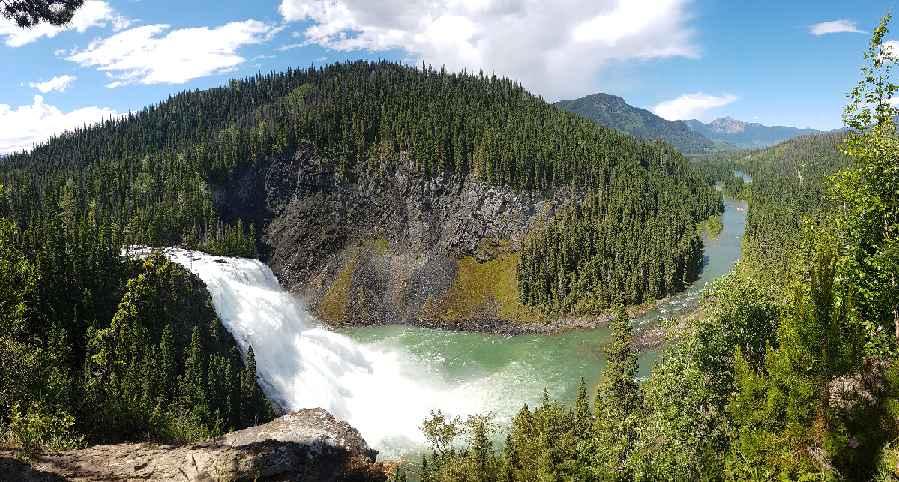 Photo: Happendstoday · CC BY-SA 4.0waterfall · Tumbler Ridge & Monkman
Kinuseo Falls
Closure notice recorded · check guideSeveral walks reach viewpoints of Kinuseo Falls. BC Parks confirms the main viewing platform is closed for the 2026 season; the upper viewpoints use a more demanding trail.
0.5 km round tripRead guide →- waterfall · McBride & Robson Valley
Hellroaring Falls
Waterfall destination; public lawful access and current trailhead require confirmation.
0.54 km round trip · 65 m gainRead guide → - waterfall · Vanderhoof & Fraser Lake
Cheslatta Falls
A forest path follows the Cheslatta River corridor to a cliff-side waterfall viewpoint. The destination is an exposed edge above moving water, making this a more consequential…
2.4 km round tripRead guide → - waterfall · McBride & Robson Valley
Horseshoe Falls
Waterfall destination; public lawful access and current trailhead require confirmation.
0.94 km round trip · 75 m gainRead guide → - waterfall · Tumbler Ridge & Monkman
Barbour Falls
Mostly level forest approach to a canyon-side waterfall viewpoint, with a short side branch to a smaller fall.
Easy · 1.6 km round trip · Approx. 30 m gain · About 1 hour returnRead guide → 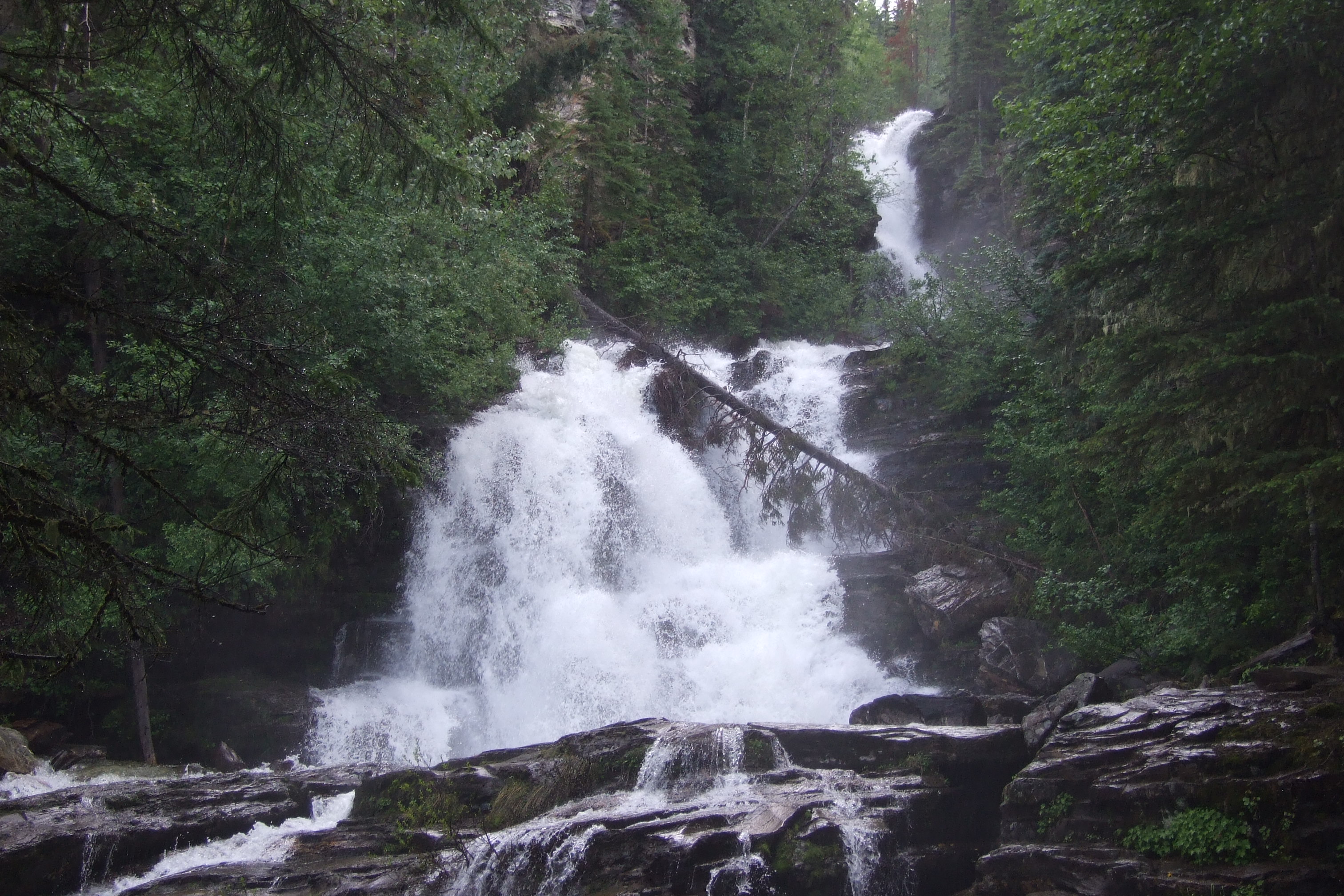 Photo: McDoggo · CC BY 4.0waterfall · Pine Pass, Chetwynd & Peace
Bijoux Falls
A short roadside stop in Pine Pass provides a fenced view of a cascading waterfall. It is a day-use waterfall visit rather than a developed hiking circuit.
Read the approach and route notesRead guide →- waterfall · Tumbler Ridge & Monkman
Wapiti Falls spur
A waterfall viewpoint reached by a short side path after a substantial walk along the remote Wapiti River trail.
Read the approach and route notesRead guide → - waterfall · McBride & Robson Valley
Morkill Falls
Waterfall destination; public lawful access and current trailhead require confirmation.
0.45 km round trip · 57 m gainRead guide →