Bowron Lakes Provincial Park
Bowron Lake Park is a paddling and camping destination with walking side trips, rather than one continuous land-based hiking loop. The full canoe circuit links lakes and portages over approximately 116 km and usually takes six to ten days; the west-side paddling option is shorter. BC Parks identifies two developed side trails, to Cariboo River Falls and a Hunter Lake viewpoint, both reached from the canoe circuit. They should not be presented as roadside day walks.
Sources reviewed . This is a research date, not a trail inspection.
This is an area guide covering several possible trips. Choose an individual outing for its route measurements, trail map and downloads. Browse Wells, Barkerville & Bowron guides →
Getting to the area
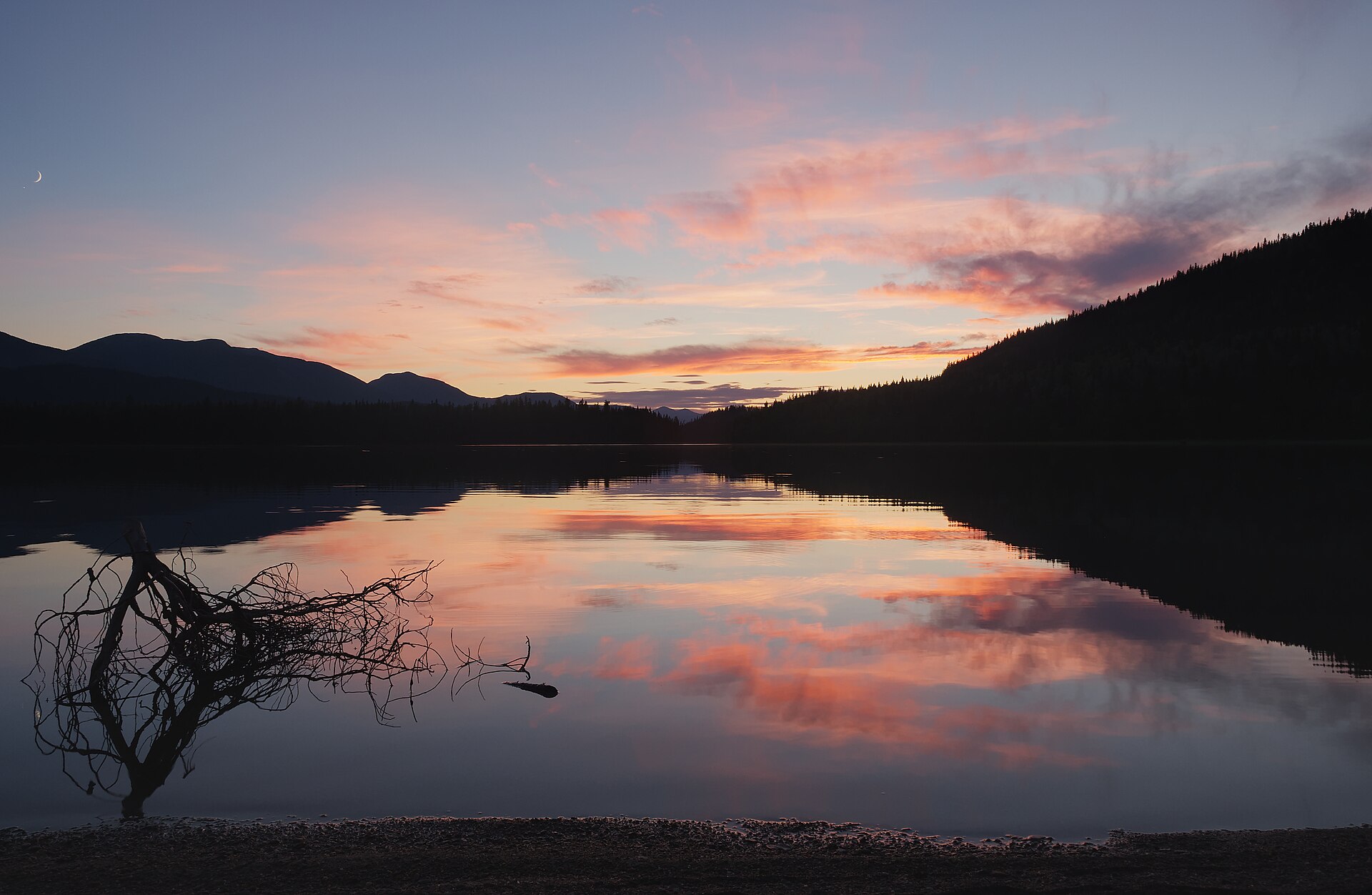
From Quesnel, take Highway 26 east through Wells toward Barkerville. About 1 km before Barkerville, turn left onto Bowron Lake Road and follow it roughly 27 km to the park entrance and registration area. BC Parks describes this final section as a broad graded dirt road; conditions and travel speed still vary with weather and maintenance. The drive-in campground is near the registration centre, a short distance from Bowron Lake. Circuit departure arrangements and the trailhead for a paddle-accessed walk are separate from that road arrival.
Map position: 53.18333, -121.03333 · named destination reference point (not a trailhead). BC Gazetteer: Bowron Lake Park; Provincial Park; 53 10 59 N, 121 01 59 W; WGS84. Published named-feature location for regional orientation and weather. Does not mark trailhead parking or a specific route viewpoint.
Choosing an outing
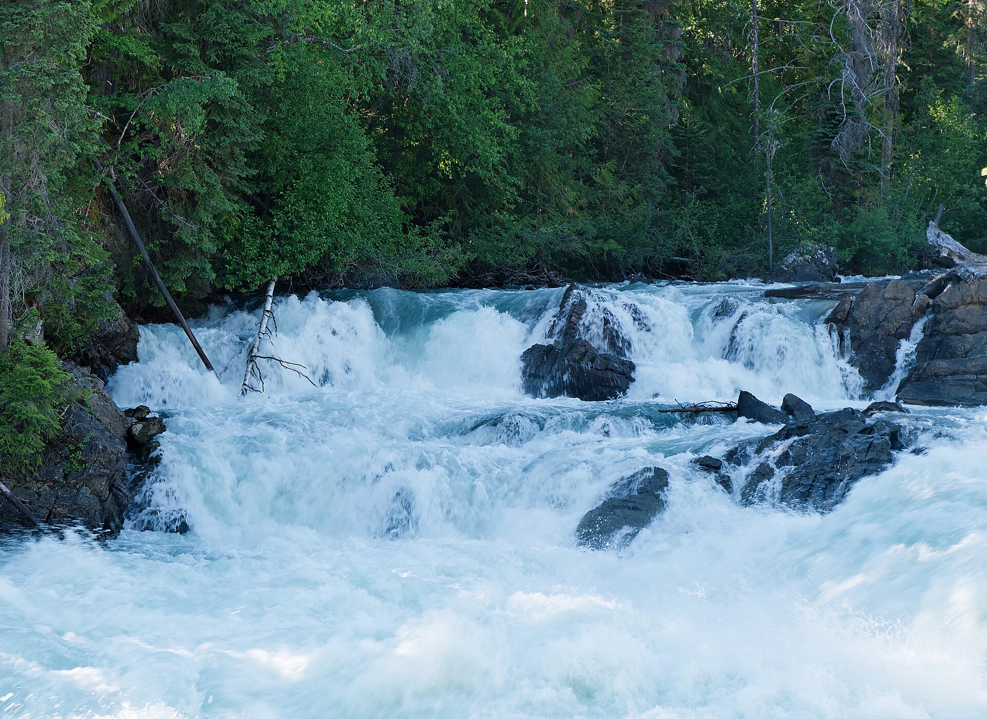
For a road-based visit, use the campground and nearby local walking opportunities shown by the operator. To visit Cariboo River Falls or the Hunter Lake viewpoint, first plan the necessary paddling itinerary and locate the walking access in the official park brochure. Follow designated side trails and portages; the circuit’s 10.8 km of total portages is spread among waterways and does not form a connected hiking route. Portages can become muddy and rough in prolonged rain. A full circuit requires wilderness paddling experience, a reserved departure and adequate equipment; there is no cellphone coverage on the circuit.
Distance and elevation source notes
Varies by Trail
up to 1600 m
Conditions & seasons
Portage trails can be used for cross-country skiing in winter, but BC Parks does not set ski tracks. This does not establish a safe winter circuit across the lakes. Check the park’s current operating notices before any paddling or overnight trip.
These are dated research notes. Open the trip planner for current available weather and advisory feeds; no alert found does not establish that a trail or road is open.
Camping & overnight plans
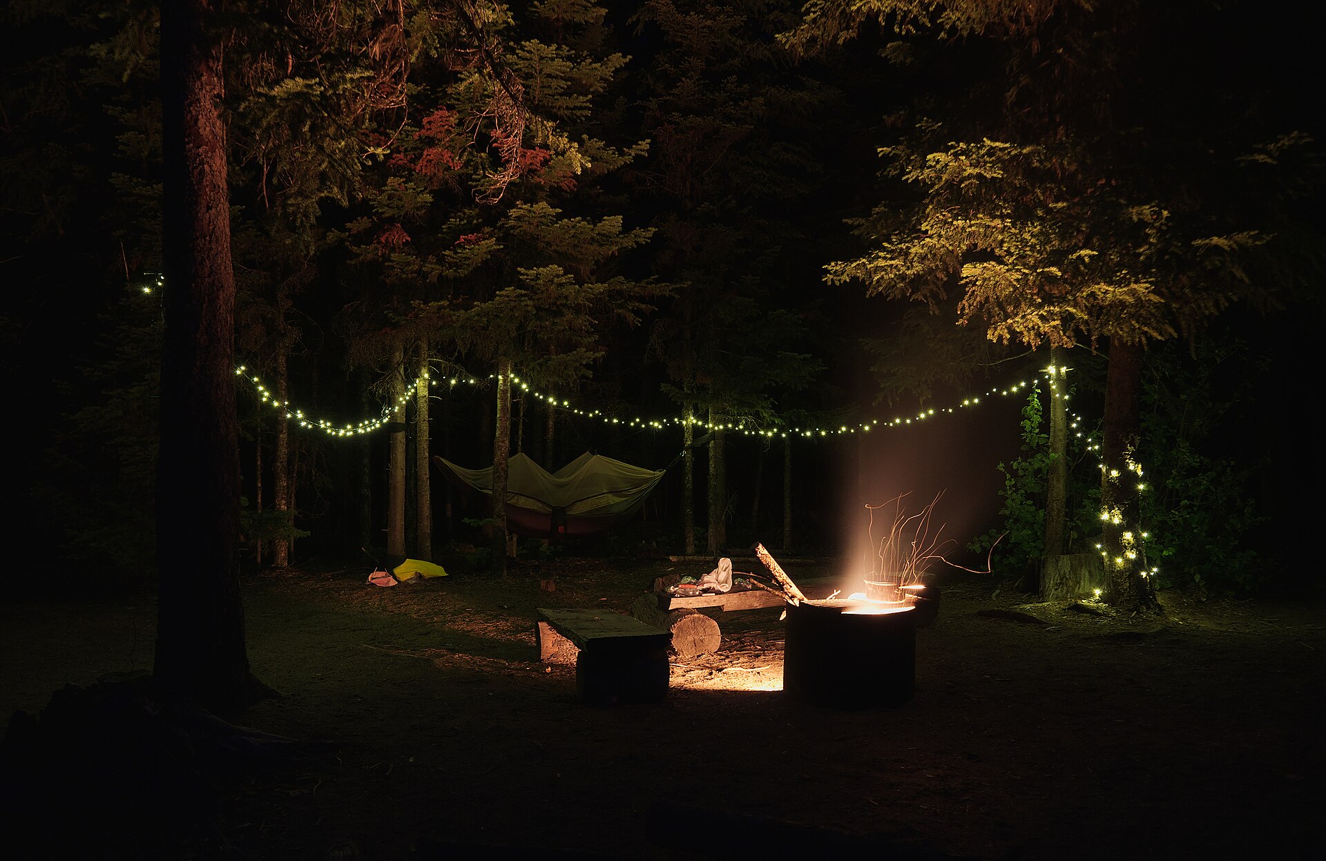
BC Parks describes a 25-site drive-in campground near the registration area and designated camping along the canoe circuit. Reserve through BC Parks. Circuit parties must use the designated sites appropriate to their booking type, and provided bear-resistant food caches must be used. A tent spot beside a viewpoint or portage is not automatically an authorized campsite.
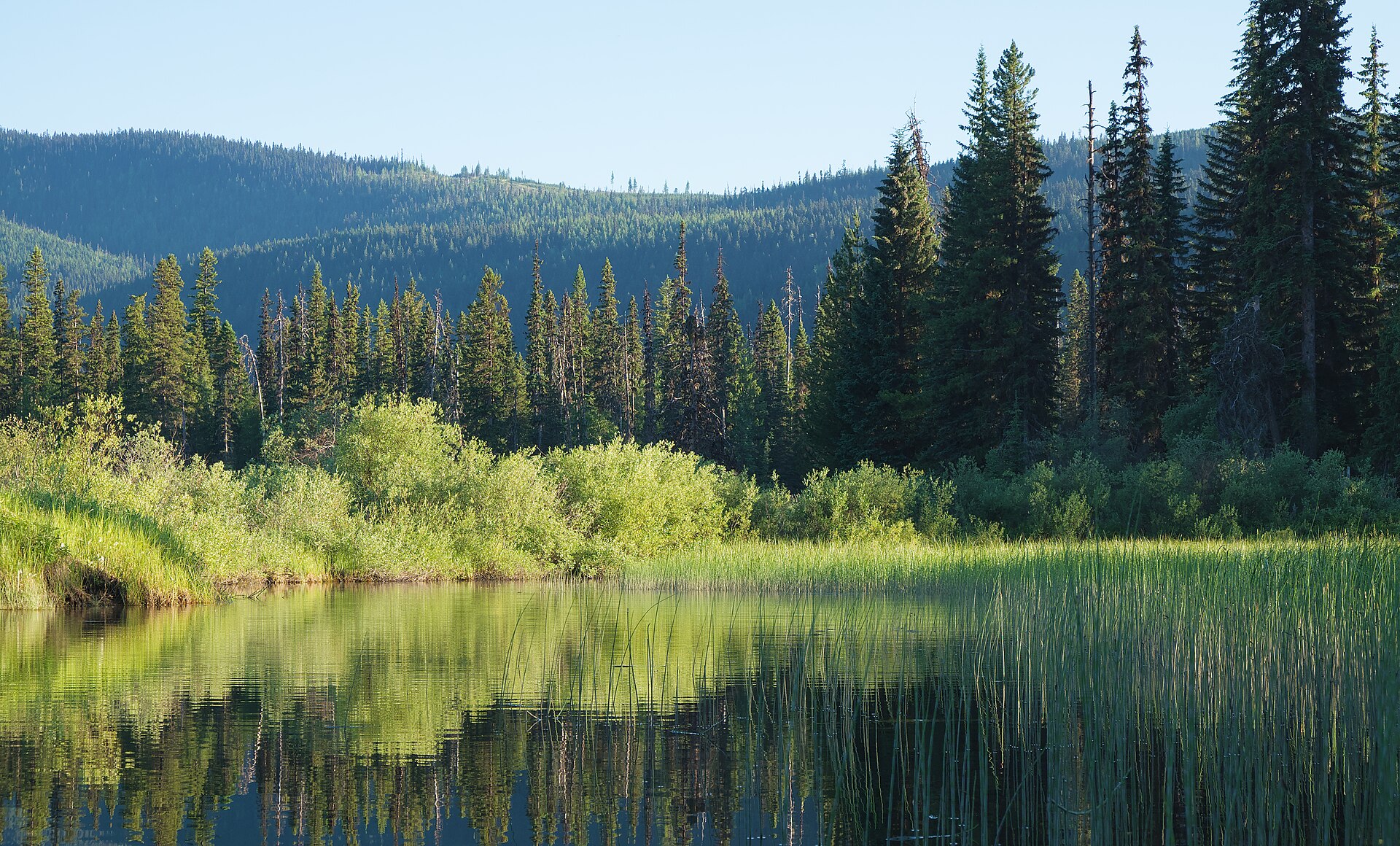
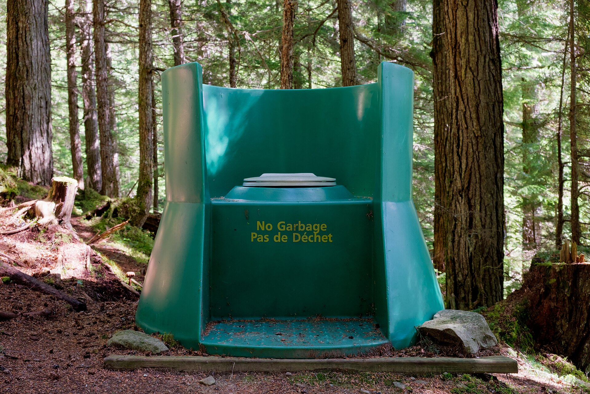
Photos of Bowron Lakes Provincial Park
Take this guide with you
Choose a trip pack or an available individual sheet for your map case.
Sources, dates & research notes
Descriptions are written for this guide from the linked evidence. Source review dates, published reports and field observations can differ. Photographs and route lines retain their own attribution and reuse terms.
- https://caledoniaramblers.ca/trails/bowron-lakes-provincial-park (opens original source)
- https://caledoniaramblers.ca/trails?page=0 (opens original source)
- https://catalogue.data.gov.bc.ca/dataset/d92224ee-03ef-4904-be53-b677d8e01ac4/resource/69738aa8-2cc0-4975-aec6-4dc2e30990bf/download/bc-gazetteer-2026-08-12.csv (opens original source)
- https://bcparks.ca/bowron-lake-park/ (opens original source)
Details still being researched
- gainM
- distanceKm
- directions
- dogs
- accessibility
- camping
- seasonal
Nearby and related guides
- Hikes · Wells, Barkerville & Bowron
Mount Tinsdale
Tinsdale is a high, isolated summit in the Wells area, approached by logging roads and a very steep unformed mountain route. From the kilometre-4 road parking used in the trail…
3 km · one way only / Not established gainRead guide → - Hikes · Wells, Barkerville & Bowron
Mount Patchett
Mount Patchett is a longer Wells-area alpine outing reached from the same lower approach as the Vinje Grind. The local trail society publishes approximately 14 km return and five…
14 km round tripRead guide → - Hikes · Wells, Barkerville & Bowron
Mount Magnus (Vinje Grind)
The Vinje Grind climbs steeply to Mount Magnus above the Wells and Bowron Lake area. It shares its lower access with Mount Patchett before splitting toward a shorter but still…
Hard / 3.3 km · trip basis unconfirmed / Not established gainRead guide → - Hikes · Wells, Barkerville & Bowron
Mount Guyet
Mount Guyet is a relatively short but steep mountain outing through the landscape burned by the 2024 Antler Creek fire. Open cutblocks, burned forest and alpine meadows lead…
4.1 km round trip / 300 m gainRead guide → - Hikes · Wells, Barkerville & Bowron
Two Sisters Mountain
A mountain outing near Wells with two distinct objectives. The South Sister route reaches the Seven Summits cairn and includes a hands-on final scramble; the North Sister lookout…
Hard / 15 km round tripRead guide → - Hikes · Wells, Barkerville & Bowron
Yellowhawk Trail
Yellowhawk climbs from the Bowron Lake Road through forest into the open ridges near Greenbury and Mount Murray. It can serve a shorter ridge outing, a Murray summit approach or…
Hard / 8.4 km round trip / 604 m gainRead guide →