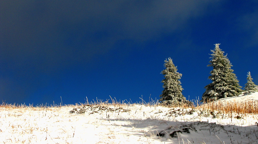
Tinsdale is a high, isolated summit in the Wells area, approached by logging roads and a very steep unformed mountain route. From the kilometre-4 road parking used in the trail society’s description, it is about 3 km one way with 600 m of gain. Lower parking adds road distance; this is not a short maintained trail despite the compact headline length.
Sources reviewed . This is a research date, not a trail inspection.
The locations GPX contains sourced points with their recorded roles. It contains no trail track or connecting route.
Distance
3 kmOne way only
Elevation gain
Not establishedThe source lists 600 m with the outward route. Any climbing on the return is not established; this is not a verified complete-return total.
Walking time
Not published
Difficulty
Not rated
Map & elevation
Opening the map…
Elevation profile
A full-route elevation profile is not available yet.
A reusable trail line has not yet been verified for this outing. Any location pin shows the published location described above; it does not draw the hike or establish a navigable approach.
Follow the 3100 FSR to roughly 3107.5 and turn left onto the 1600 Road at marker 1608. Continue approximately 26.5 km to the 1634.5 area, where two uphill block-road entrances merge around 300 m in. A July 7, 2026 inspection found ordinary SUV access to about kilometre 2, a ditch shortly beyond and increasingly frequent cross-ditches after kilometre 3. The road forks at kilometre 4 with a broad parking area; the next kilometre was wet, soft clay with rough ditches. Choose parking according to current conditions and do not damage drainage works to force a vehicle farther uphill.
Map position: 53.03912, -121.25173 · source map reference. Individual published start waypoint in the steward-linked map. The point is location context; vehicle access was not checked. Full third-party linework is not republished.
On the trail
From the kilometre-4 parking area, walk the remaining road for about 1 km to a small rough cutblock. Climb around the arc of the block and leave through its upper-left corner. Beyond this point, navigate an unformed route up very steep forested slopes, using meadow openings where possible. The first roughly 400 m of steep ground includes wet footing and logs, followed by a knoll that provides a brief easing of the grade. Continue up the final steep rise to the summit. Retrace the ascent line to the cutblock; the longer links toward Patchett and Cossette are separate traverses requiring their own route planning.
The vehicle-access description is specifically from July 7, 2026. Wet clay and cross-ditches can change the practical trail start. Snow-covered forest, poor visibility or icy summit slopes require a different assessment from the summer route.
Historical road-access observation
The source described SUV access to km 2 and increasingly restrictive cross-ditches higher up; the road above km 4 was soft and waterlogged. Parking position changes the walking distance.
These are dated research notes. Open the trip planner for current available weather and advisory feeds; no alert found does not establish that a trail or road is open.
Camping is prohibited inside Mount Tinsdale Ecological Reserve. Non-destructive walking, wildlife observation and photography are allowed; foraging and motorized access are prohibited.
Photos of Mount Tinsdale
A photograph with confirmed reuse permission has not yet been added to this guide.
Take this guide with you
Choose a trip pack or an available individual sheet for your map case.
Descriptions are written for this guide from the linked evidence. Source review dates, published reports and field observations can differ. Photographs and route lines retain their own attribution and reuse terms.