Wells, Barkerville & Bowron
Explore the mountain trails around Wells and Barkerville and the Bowron area. The Wells summit routes have individual starting points, forestry-road approaches and terrain. Confirm the intended summit and whether the listed distance is one way or return.
14 of 14 places
Open map search →- hike · Wells, Barkerville & Bowron
Caledonia Mountain
Caledonia offers a steep ascent to a chain of alpine lakes and ridges above the Bowron–Tumuch road system. The first ridge and lake make a substantial outing; reaching the actual…
Hard · 14 km round trip · 1,400 m gain · 4 to 6 hours to the first ridge and lake, 7 to 9 hours to the summitRead guide → 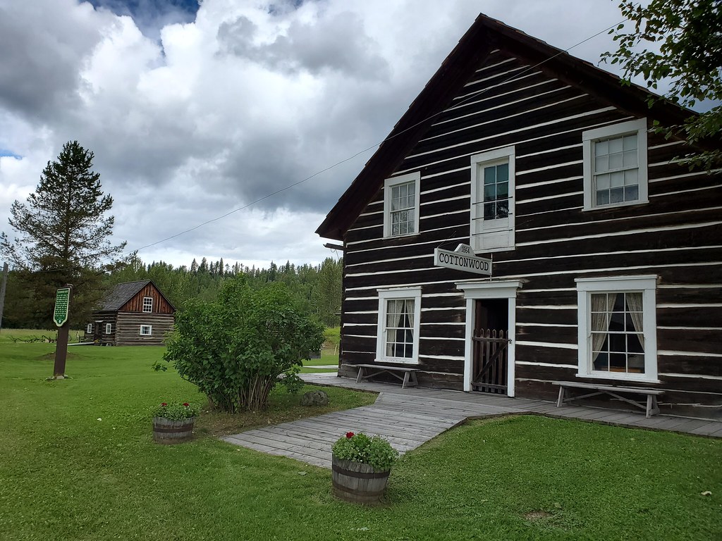 Photo: waferboard · CC BY 2.0walk · Wells, Barkerville & Bowron
Cottonwood House Accessible Trails
The Cottonwood Historic Site has a gentle trail network extending around the heritage grounds and beside the Cottonwood River. Quesnel Tourism publishes 3.4 km for the network as…
Trail network · choose a named routeRead guide →- hike · Wells, Barkerville & Bowron
Two Sisters Mountain
A mountain outing near Wells with two distinct objectives. The South Sister route reaches the Seven Summits cairn and includes a hands-on final scramble; the North Sister lookout…
Hard · 15 km round tripRead guide → 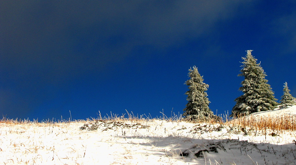 Photo: Dru! · CC BY-NC 2.0 · Noncommercial onlyhike · Wells, Barkerville & Bowron
Mount Murray (Barkerville)
Mount Murray can be approached from either the Yellowhawk or Jubilee trailhead above the Bowron Lake Road. Both climb toward the same alpine area, allowing an out-and-back walk or…
Hard · 12.5 km point to point · 690 m gain · 5 to 6 hoursRead guide →- Photo: Dru! · CC BY-NC 2.0 · Noncommercial onlyhike · Wells, Barkerville & Bowron
Murray Jubilee
Mount Murray can be approached from either the Yellowhawk or Jubilee trailhead above the Bowron Lake Road. Both climb toward the same alpine area, allowing an out-and-back walk or…
3–5 hours depending on route, as publishedRead guide → - hike · Wells, Barkerville & Bowron
Yellowhawk Trail
Yellowhawk climbs from the Bowron Lake Road through forest into the open ridges near Greenbury and Mount Murray. It can serve a shorter ridge outing, a Murray summit approach or…
Hard · 8.4 km round trip · 604 m gain · 3 - 5 hoursRead guide → 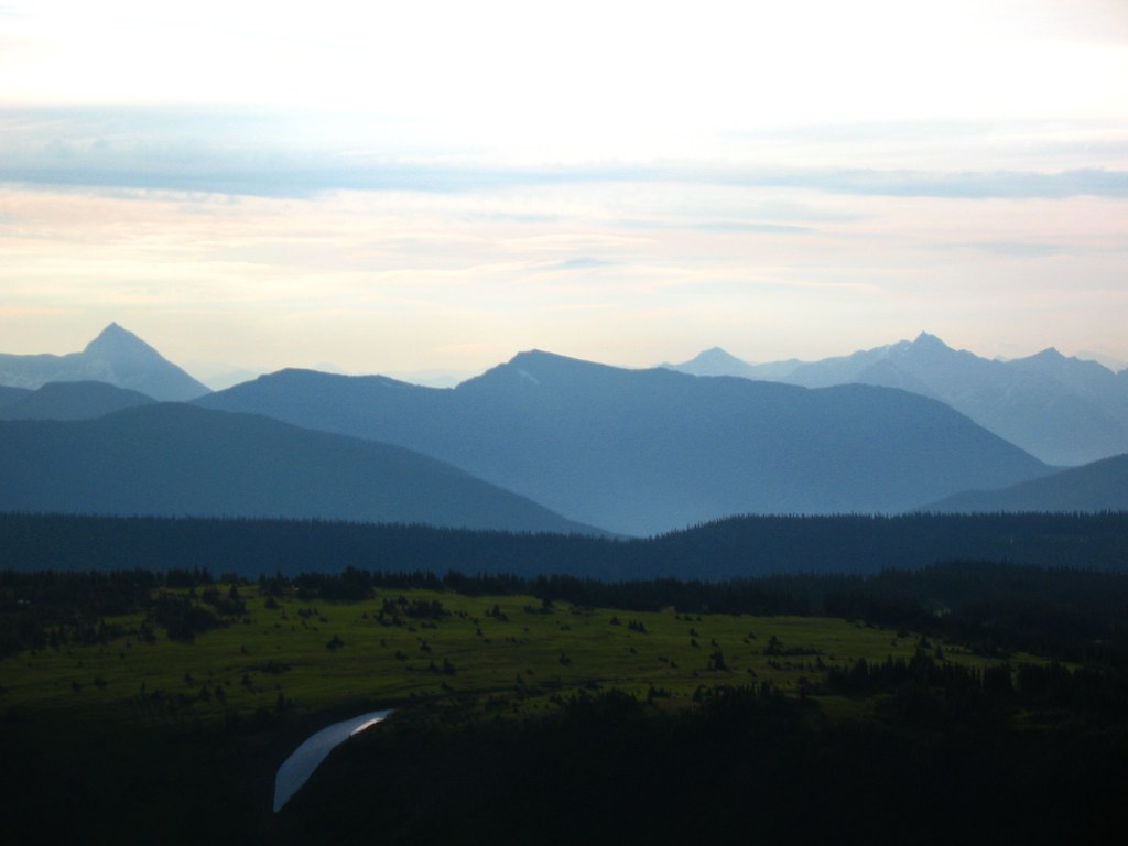 Photo: Dru! · CC BY-NC 2.0 · Noncommercial onlyhike · Wells, Barkerville & Bowron
Mount Agnes
Mount Agnes adds a summit above Groundhog Lake to the long approach from Barkerville. The local trail society lists around 20 km return and 740 m of elevation gain, compared with…
20 km round trip · 740 m gain · 5–6 hours as publishedRead guide →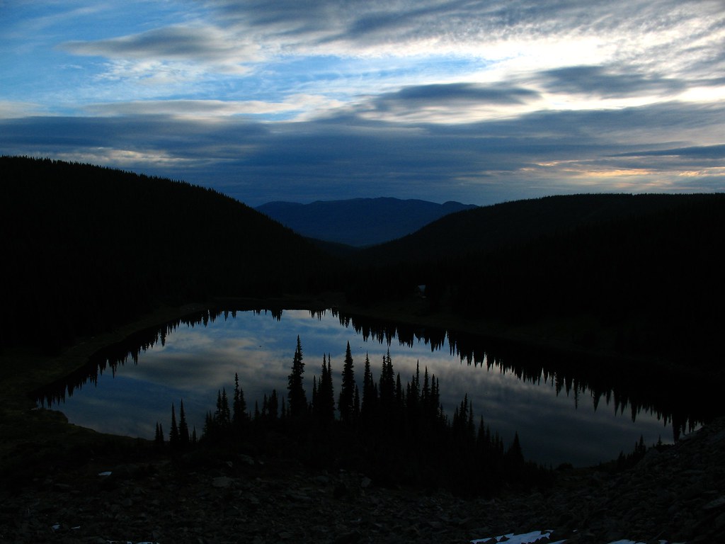 Photo: Dru! · CC BY-NC 2.0 · Noncommercial onlyhike · Wells, Barkerville & Bowron
Mount Agnes/Groundhog Lake
Groundhog Lake is a long walk into the mountains behind Barkerville, using the old mining-road approach before reaching a high lake and rustic cabin. The lake outing is published…
Moderate · 17 km round trip · 490 m gain · 5-6 hourRead guide →- hike · Wells, Barkerville & Bowron
Mount Magnus (Vinje Grind)
The Vinje Grind climbs steeply to Mount Magnus above the Wells and Bowron Lake area. It shares its lower access with Mount Patchett before splitting toward a shorter but still…
Hard · 3 - 4 hours returnRead guide → - hike · Wells, Barkerville & Bowron
Mount Burdett
Mount Burdett is a rough approach to alpine ridges and prominent quartz outcrops above the historic Racetrack area. The local trail society’s description starts at Antler Creek…
Read the approach and route notesRead guide → - hike · Wells, Barkerville & Bowron
Mount Guyet
Mount Guyet is a relatively short but steep mountain outing through the landscape burned by the 2024 Antler Creek fire. Open cutblocks, burned forest and alpine meadows lead…
4.1 km round trip · 300 m gainRead guide → - hike · Wells, Barkerville & Bowron
Mount Patchett
Mount Patchett is a longer Wells-area alpine outing reached from the same lower approach as the Vinje Grind. The local trail society publishes approximately 14 km return and five…
14 km round trip · 5–7 hours as publishedRead guide → - hike · Wells, Barkerville & Bowron
Mount Tinsdale
Tinsdale is a high, isolated summit in the Wells area, approached by logging roads and a very steep unformed mountain route. From the kilometre-4 road parking used in the trail…
Read the approach and route notesRead guide → 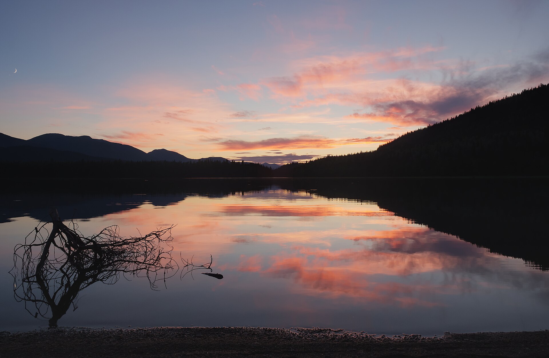 Photo: Trougnouf · CC BY 4.0park · Wells, Barkerville & Bowron
Bowron Lakes Provincial Park
Bowron Lake Park is a paddling and camping destination with walking side trips, rather than one continuous land-based hiking loop. The full canoe circuit links lakes and portages…
Choose an individual outing within the areaRead guide →