Mica Mine and ridge
Old mining trail reaches alpine workings; ridge ascent has no trail.
Sources reviewed . This is a research date, not a trail inspection.
- Distance
- 9.65 kmRound trip
- Elevation gain
- 1,018 mPublished route measurement
- Walking time
- 6–8 hours return
- Difficulty
- HardOut and back
Map & elevation
Partial elevation profile
Mapped portion · walking direction unconfirmed · 3.78 km
This chart covers only part of the route. It does not establish the full hike or a return journey.
Coverage and elevation sources
3.78 km along source section 1 of 1, in its mapped direction. Approximate 90 m terrain model along this mapped section. Separate sections are not joined. This chart does not measure total trail ascent or establish current access; use the guide’s published outing measurements.
Copernicus GLO-90 terrain elevations via Open-Meteo (CC BY4.0); linework: Open Government Licence – British Columbia · checked 2026-10-18 · CC BY4.0 elevation data; Open Government Licence – British Columbia linework. Copernicus DEM 2021 GLO-90 via Open-Meteo. Linework source: https://delivery.maps.gov.bc.ca/arcgis/rest/services/whse/bcgw_pub_whse_forest_tenure/MapServer/9. Sampled and rounded for display.
Official recreation project linework; may contain multiple trail sections or historic alignments, not a verified complete hike. Line source (opens original source).
Getting there & parking
From the Tête Jaune Cache area, take Blackman Road and then Old Tête Jaune Road. Before the railway crossing, turn onto Sand Creek Forest Service Road and follow it for approximately 7.6 km to the Mica trail sign. The local guide recommends a high-clearance four-wheel-drive vehicle and warns that porcupines have damaged vehicle brake components near the parking area. Confirm current road condition and practical vehicle protection before leaving the car.
Estimated drive from Prince George: 4 hr 29 min · 285.9 km. Modeled one-way driving time from Prince George City Hall, using mapped road speeds. Forest-road sections can take substantially longer: surface, clearance, radio procedures, gates, washouts, plowing, and legal access are not verified by the router. No live traffic or invented forest-road multiplier is included. Allow extra time and check the dated access notes.
Map position: 52.92068, -119.49701 · trailhead. source-published; not field-verified
On the trail
Climb the narrow, steep trail through forest toward the former mica workings in the alpine. The mine area is the first main objective and can be a turnaround. For the ridge extension, climb the steep slope above the workings; the local guide explicitly describes this upper section as untrailed, with loose and slippery rock rather than a maintained summit path. The ridge gives views toward Mount Robson, the Robson and Canoe valleys, and Kinbasket Lake. The true mountain summit lies farther beyond intervening peaks and is not included in the ordinary mine-and-ridge outing. Return carefully down the same steep approach.
Terrain: very steep ascent · unmarked ridge extension · historic mine.
Distance and elevation source notes
9 km
1018 m
The older Ramblers narrative suggests roughly 5 hours return to the mica workings and 6 hours including the ridge; current operator guidance separately gives a 6–8 hour return outing. These endpoints and time estimates should not be silently treated as identical.
The map line and elevation profile cover the provincial approach to the historic Mica Mine, about 3.78 km along the stored line. They do not show the complete ridge extension or a return itinerary; the 9.65 km published outing remains a separate metric.
Conditions & seasons
The local guide recommends late June to late September in clear weather. Rain can turn the lower trail into a drainage channel and makes the rocky upper slope slippery. Cloud can conceal the route above treeline; the historical mine does not provide a weatherproof shelter.
These are dated research notes. Open the trip planner for current available weather and advisory feeds; no alert found does not establish that a trail or road is open.
Camping & overnight plans
No designated campsite, nearby toilet or reliable overnight facility was identified at the mine or ridge. Treat this as a self-sufficient day outing unless a separate authorized overnight plan has been established.
Photos of Mica Mine and ridge
A photograph with confirmed reuse permission has not yet been added to this guide.
Surrounding area and context
These photographs provide context; they do not establish the appearance of this selected route or facility.
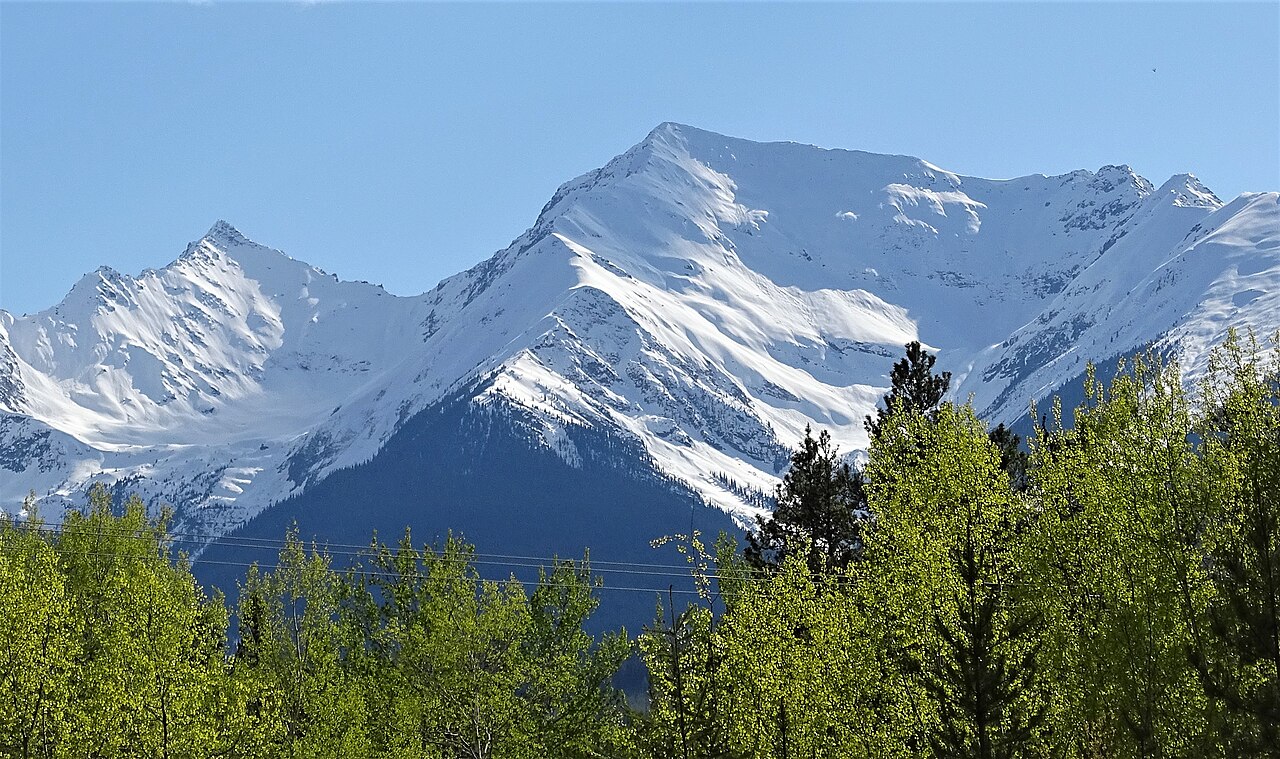
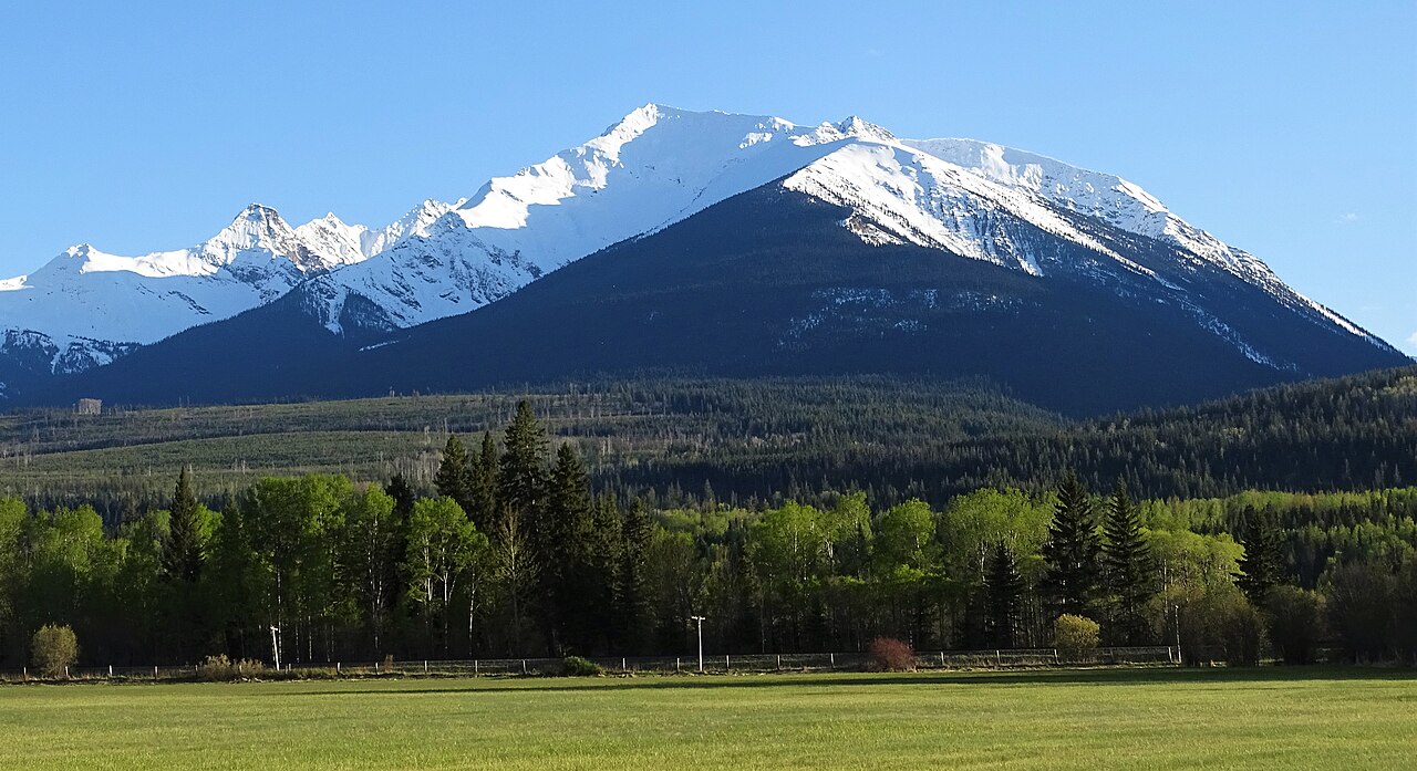
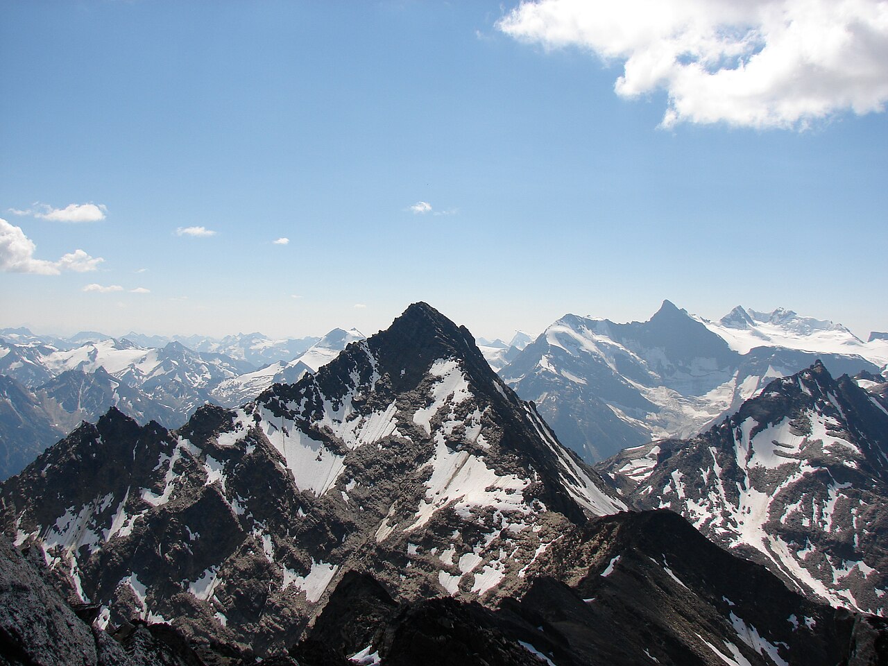
Original photo galleries
These galleries stay on their photographers’ original websites.
- Mica Mountain September 5, 2026 (opens original source) · Caledonia Ramblers
Take this guide with you
Choose a trip pack or an available individual sheet for your map case.
Sources, dates & research notes
Descriptions are written for this guide from the linked evidence. Source review dates, published reports and field observations can differ. Photographs and route lines retain their own attribution and reuse terms.
- https://hikevalemount.com/mica-mine/ (opens original source)
- https://routing.openstreetmap.de/about.html (opens original source)
- https://caledoniaramblers.ca/trails/mica-mountain (opens original source)
- https://delivery.maps.gov.bc.ca/arcgis/rest/services/mpcm/bcgwpub/MapServer/404 (opens original source)
- https://open-meteo.com/en/docs/elevation-api (opens original source)
- https://delivery.maps.gov.bc.ca/arcgis/rest/services/mpcm/bcgwpub/MapServer/404/query?where=OBJECTID%3D30635&outFields=*&outSR=4326&f=geojson (opens original source)
- https://delivery.maps.gov.bc.ca/arcgis/rest/services/whse/bcgw_pub_whse_forest_tenure/MapServer/9/query?objectIds=45710%2C45744%2C45855&outFields=FOREST_FILE_ID%2CRMF_SKEY%2CSECTION_ID%2CPROJECT_NAME%2CRETIREMENT_DATE%2CLIFE_CYCLE_STATUS_CODE%2CFILE_STATUS_CODE%2COBJECTID&outSR=4326&returnGeometry=true&f=geojson (opens original source)
- https://catalogue.data.gov.bc.ca/dataset/7fcb21f7-e51c-4342-a5e1-445a6c42128e (opens original source)
- https://open-meteo.com/en/licence (opens original source)
- https://creativecommons.org/licenses/by/4.0/ (opens original source)
Nearby and related guides
- Hikes · Valemount & Mount Robson
Jackman Flats Big Dune Trail
Interconnected sandy pine-and-lichen trail network.
Moderate / 6.2 km loopRead guide → - Hikes · Valemount & Mount Robson
Jackman Flats Juniper Trail
Interconnected sandy pine-and-lichen trail network.
Moderate / 3.4 km loopRead guide → - Hikes · Valemount & Mount Robson
Jackman Flats Lichen Loop
Interconnected sandy pine-and-lichen trail network.
Moderate / 2.3 km loopRead guide → - Hikes · Valemount & Mount Robson
Jackman Flats Pine Tree Loop
Interconnected sandy pine-and-lichen trail network.
Moderate / 1.4 km loopRead guide → - Hikes · Valemount & Mount Robson
Little Lost Grind
Steep minimally maintained extension.
Read the access and route notesRead guide → - Hikes · Valemount & Mount Robson
Little Lost Lake circuit
Adds circuit around lake.
Moderate / 4.5 km round tripRead guide →