Jackman Flats Big Dune Trail
Interconnected sandy pine-and-lichen trail network.
Sources reviewed . This is a research date, not a trail inspection.
- Distance
- 6.2 kmLoop
- Elevation gain
- Not establishedMinimal; no numeric cumulative gain published
- Walking time
- About 2 hours
- Difficulty
- ModerateInterconnected loop network
Map & elevation
Partial elevation profile
Mapped portion · walking direction unconfirmed · 2.73 km
This chart covers only part of the route. It does not establish the full hike or a return journey.
Coverage and elevation sources
2.73 km along source section 1 of 1, in its mapped direction. Approximate 90 m terrain model along this mapped section. Separate sections are not joined. This chart does not measure total trail ascent or establish current access; use the guide’s published outing measurements.
Copernicus GLO-90 terrain elevations via Open-Meteo (CC BY4.0); linework: Open Database License (ODbL) 1.0 · checked 2026-10-18 · CC BY4.0 elevation data; Open Database License (ODbL) 1.0 linework. Copernicus DEM 2021 GLO-90 via Open-Meteo. Linework source: https://www.openstreetmap.org/way/541648940. Sampled and rounded for display.
Mapped named trail. Shows the named Big Dune portion; shared access paths from the park entrance may have other names and are not included. Line source (opens original source).
Getting there & parking
From Valemount, travel north on Highway 5 for approximately 12.5 km and take the signed Jackman Flats park turnoff. Use the main trail parking area, where an outhouse is listed. A high-clearance vehicle is not required for the published main access; this is different from the separate horse-trailer approach described on Blackman Road.
Estimated drive from Prince George: 3 hr 47 min · 278.9 km. Modeled one-way driving time from Prince George City Hall, using mapped road speeds. Forest-road sections can take substantially longer: surface, clearance, radio procedures, gates, washouts, plowing, and legal access are not verified by the router. No live traffic or invented forest-road multiplier is included. Allow extra time and check the dated access notes.
Map position: 52.93120, -119.37238 · trailhead. source-published; not field-verified
On the trail
Follow the signed Big Dune option through the Jackman Flats network and use the junction map to return to the main parking area. The local guide lists about 6.2 km for this outing, but the named trails interconnect, so adding another branch changes the total. The route crosses sandy ground and open forest with interpretive signs, mountain views and fragile lichen communities. The Big Dune option includes a few steeper sections and links through shorter trails; it is the longest standard outing listed. Stay on the tread: the surrounding lichen is easily damaged by footsteps. Fallen pine trees can obstruct sections after wind.
Terrain: sand · interpretive trail.
Conditions & seasons
Spring through autumn are the usual walking seasons. Sand and exposed areas can become hot in summer. In winter the network is track-set for cross-country skiing; walking and dog use can damage those prepared tracks, so follow the current winter rules and designated use.
These are dated research notes. Open the trip planner for current available weather and advisory feeds; no alert found does not establish that a trail or road is open.
Camping & overnight plans
On-route camping permission has not been established for this outing. Check the relevant land manager before planning an overnight stay; a mapped lake, cabin or previous tent location does not confirm permission.
Photos of Jackman Flats Big Dune Trail
A photograph with confirmed reuse permission has not yet been added to this guide.
Original photo galleries
These galleries stay on their photographers’ original websites.
- Jackman Flats Provincial Park trail — photographs (opens original source) · Hike Valemount / YORA
Take this guide with you
Choose a trip pack or an available individual sheet for your map case.
Sources, dates & research notes
Descriptions are written for this guide from the linked evidence. Source review dates, published reports and field observations can differ. Photographs and route lines retain their own attribution and reuse terms.
- https://hikevalemount.com/jackman-flats-provincial-park/ (opens original source)
- https://routing.openstreetmap.de/about.html (opens original source)
- https://bcparks.ca/jackman-flats-park/ (opens original source)
- https://nrs.objectstore.gov.bc.ca/kuwyyf/jackman_flats_brochure_0f0fdaea5a.pdf (opens original source)
OpenStreetMap line references (6)
These contributor-mapped features support the map geometry. They are separate from the written access and route sources.
- https://www.openstreetmap.org/way/541648940 (opens original source)
- https://www.openstreetmap.org/way/120433324 (opens original source)
- https://www.openstreetmap.org/way/120433326 (opens original source)
- https://www.openstreetmap.org/way/120433329 (opens original source)
- https://www.openstreetmap.org/way/120433323 (opens original source)
- https://www.openstreetmap.org/way/541648941 (opens original source)
Nearby and related guides
- Hikes · Valemount & Mount Robson
Jackman Flats Pine Tree Loop
Interconnected sandy pine-and-lichen trail network.
Moderate / 1.4 km loopRead guide → - Hikes · Valemount & Mount Robson
Jackman Flats Juniper Trail
Interconnected sandy pine-and-lichen trail network.
Moderate / 3.4 km loopRead guide → - Hikes · Valemount & Mount Robson
Jackman Flats Lichen Loop
Interconnected sandy pine-and-lichen trail network.
Moderate / 2.3 km loopRead guide → 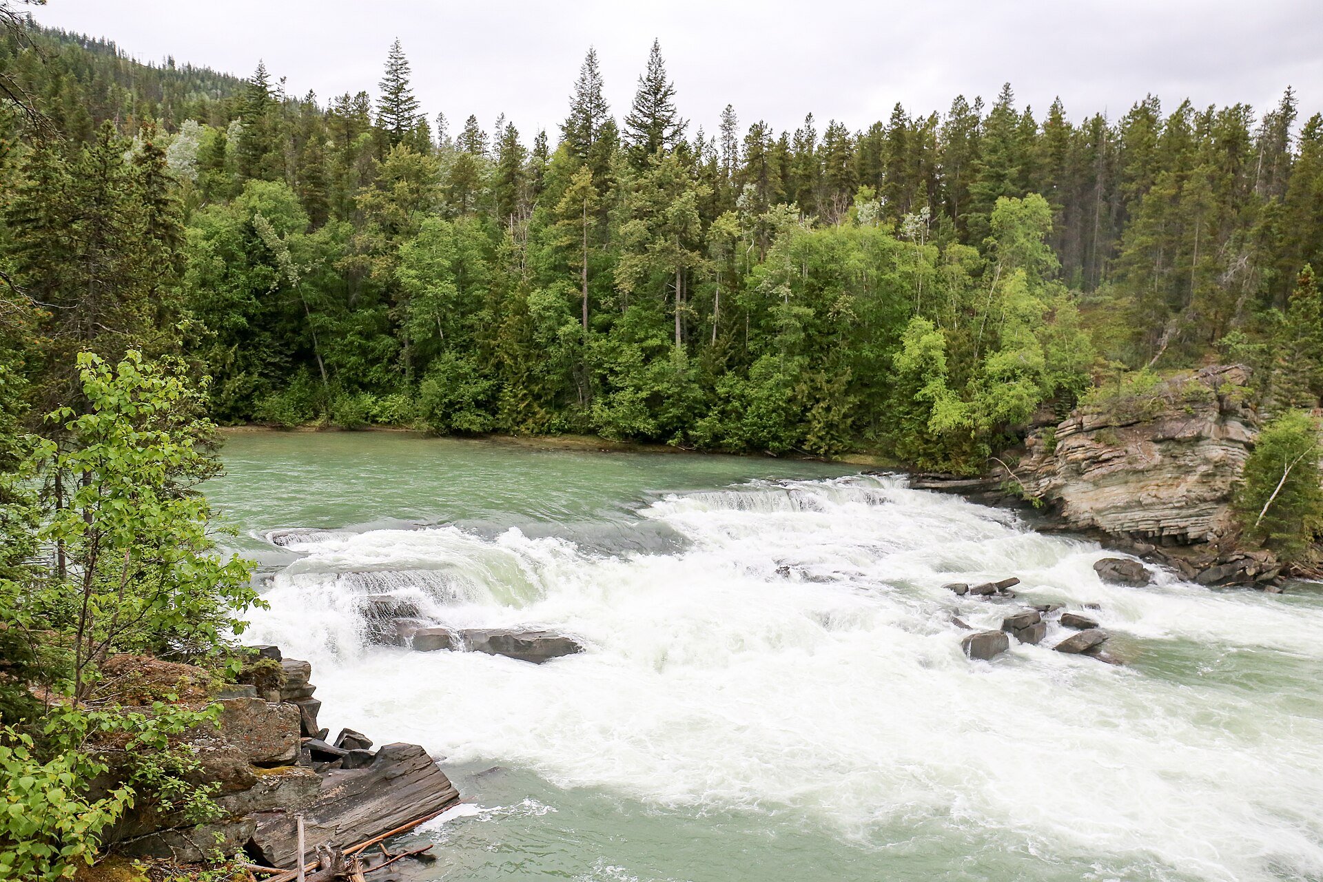 Photo: Ralf Lotys (Sicherlich) · CC BY 4.0Waterfalls · Valemount & Mount Robson
Rearguard Falls
Designated trail to fenced falls viewpoint.
0.4 km round trip / 30 m gainRead guide →- Hikes · Valemount & Mount Robson
Little Lost Grind
Steep minimally maintained extension.
Read the access and route notesRead guide → - Hikes · Valemount & Mount Robson
Little Lost Lake circuit
Adds circuit around lake.
Moderate / 4.5 km round tripRead guide →