McBride: The Mountain Town Built Around a Railway Station
McBride’s station faces straight up Main Street. Its architecture, daily routines and surviving town plan explain how the railway shaped this mountain community.
Start where Main Street ends
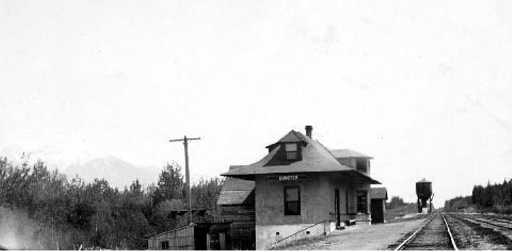
At the south end of McBride’s Main Street, the railway station occupies the position another town might reserve for a courthouse or city hall. Parkland frames it on either side. The Grand Trunk Pacific deliberately made the building the visual centre of its town plan.
Its heritage value includes that setting. Look back along the public street: the station still gives the town plan its focus.
Sources: 1
A place called Mile 90
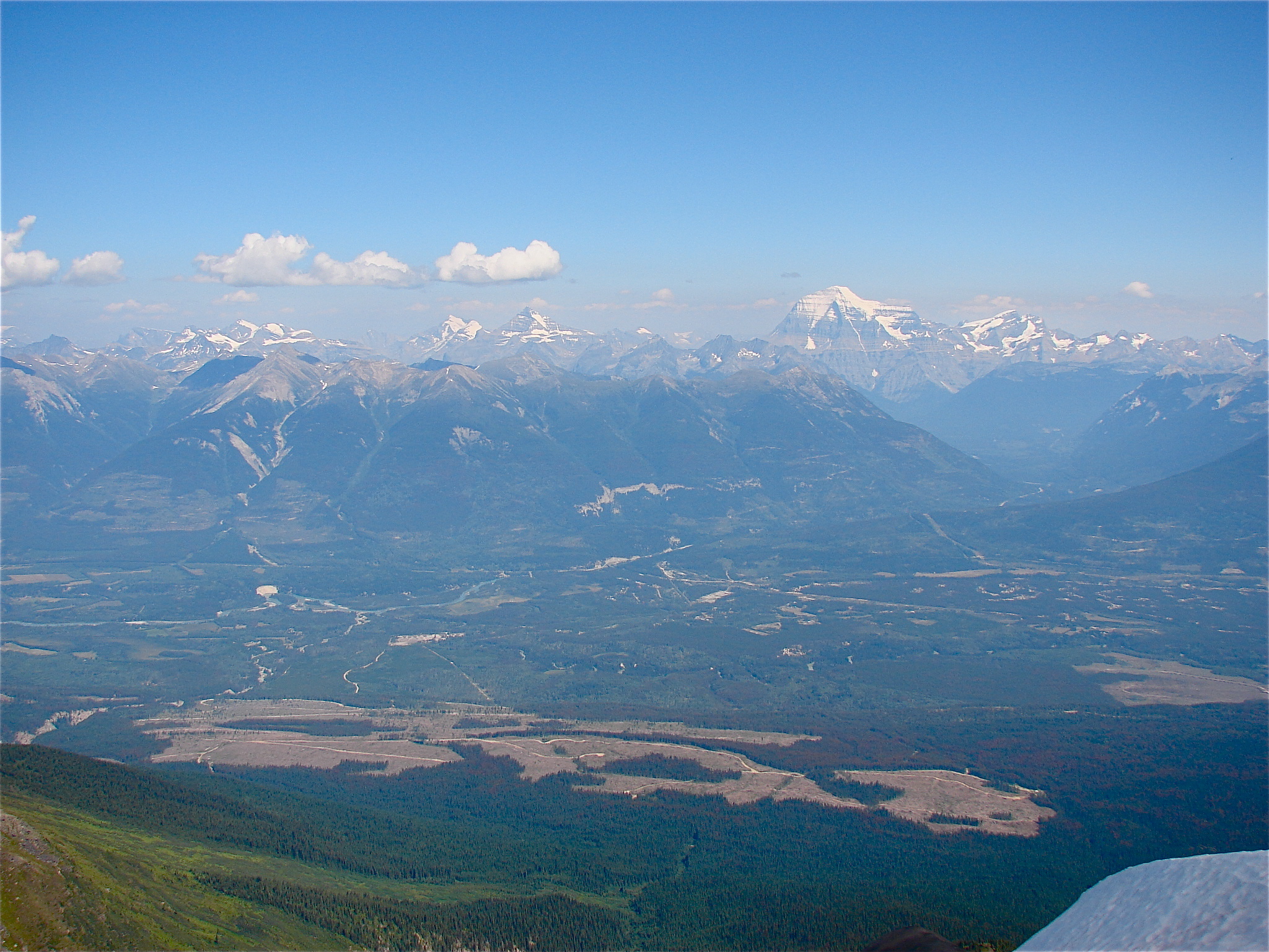
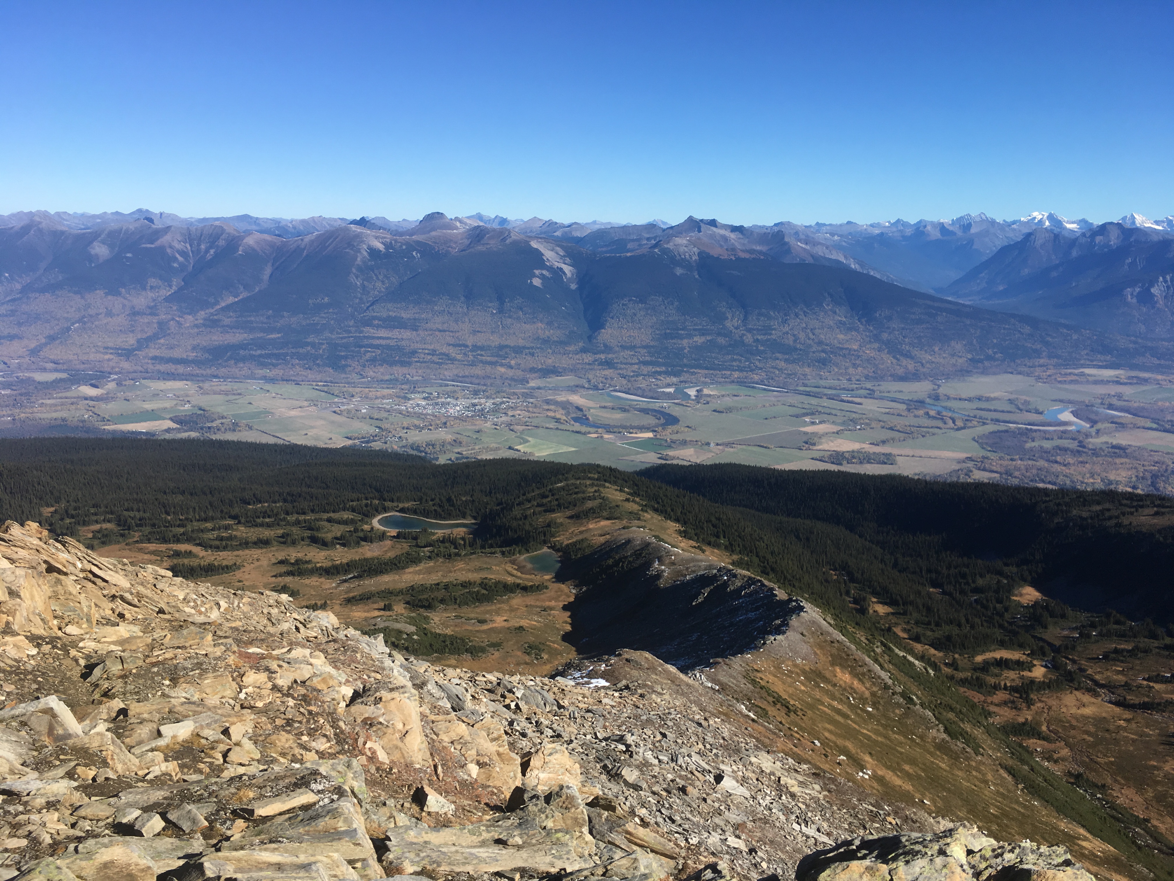
McBride was founded in 1913 as Mile 90 on the Grand Trunk Pacific. The name changed to honour British Columbia premier Richard McBride, and the village incorporated in 1932. Its setting is the Robson Valley, with the Rocky Mountains to the east and the Cariboo Mountains to the west.
That broad valley made a railway town possible without making the mountains disappear from daily life. McBride became a service centre as well as a place on a route. Forestry, agriculture and railway activity all contributed to the community that grew around the station. The mountain scenery that brings visitors today is therefore also the setting of a working settlement, with a history extending beyond accommodation and trailheads.
Sources: 2
A station built to do several jobs
The present building dates to 1919. Its broad eaves sheltered passengers; a projecting bay accommodated railway communication work. The ground floor combined public, restaurant and operational spaces, while accommodation and offices occupied the upper level. A complex roof, dormers and timber detailing gave a practical railway building a recognisable face.
McBride was a divisional point with railway service and maintenance facilities. The station’s scale reflected that operational role, while its mixed interior uses brought work, travel and domestic life under one roof.
Sources: 1
Mail, cream and a meal at the Beanery
The earlier station burned in 1918. Its replacement was built on the existing foundations the following year, restoring a building essential to local routines. McBride Tourism’s history lists some of those routines: collecting mail and supplies, sending telegrams, shipping milk and cream, meeting people and eating at the Beanery Restaurant, which once operated around the clock.
A farm’s produce, a family’s message and a traveller’s meal could pass through the same building. The station joined routines that now appear separate, making railway service part of ordinary domestic and commercial life.
Sources: 3
The town plan is not the beginning of the valley
The Valley Museum and Archives acknowledges the unceded traditional territories of the Lheidli T’enneh and Simpcw peoples. Its collection preserves records and objects associated with the wider area. A visit there makes a useful companion to the station because railway architecture alone cannot explain everyone’s experience of the valley.
Simpcw describes an extensive living territory reaching north to Kakwa Park and west beyond the Goat River. Those connections did not begin with survey stakes, a station name or incorporation. The railway introduced a powerful new pattern of settlement and movement into an already known and inhabited landscape. Holding both histories in view gives more meaning to the mountains surrounding the neatly planned town.
A working building, a longer visit
The Whistle Stop Gallery operates inside the heritage station, selling work by artists and craftspeople from the region. Visitors can encounter something made in the valley while standing in a building originally designed to move people and goods through it.
The gallery’s work has also reached into the streets. In 2007 it commissioned artist Bryony Griffiths to paint characters on town fire hydrants, a project continued through repainting and replacement. In 2014, a partnership involving the gallery, museum, library, school and arts organisations created three historical logging murals. Community members with connections to the timber industry participated.
For a town walk, follow Main Street from the station towards the Valley Museum, using public streets and keeping clear of railway property. Check opening arrangements for the buildings you want to enter. Northward’s McBride Mountain Trails and Bell Mountain guides offer options for exploring farther afield.
Back on Main Street, the station remains the view the railway’s planners intended. Around it, residents have added their own images of the valley: painted hydrants, logging murals and art made close to home. The town’s original focal point still connects with the life around it.
Explore the places in this story
McBride Mountain Trails
Choose a particular mountain outing separately from the town walk.
Bell Mountain
Verify the selected route and current access before adding a mountain excursion.
Sources and further reading
- Canadian National Railway Station, McBride (opens original source)Parks Canada · Checked
- About McBride (opens original source)Village of McBride · Checked
- Arts and Culture: McBride Heritage Railway Station (opens original source)McBride Tourism · Checked
- Valley Museum and Archives (opens original source)Valley Museum and Archives · Checked
- About Us (opens original source)Simpcw First Nation · Checked
- Whistle Stop Gallery (opens original source)Whistle Stop Gallery Society · Checked
- Our Projects (opens original source)Whistlestop Gallery Society · Checked