McBride Mountain Trails
A multiuse trail network on the lower slopes of McBride Peak, with easy viewpoints and steeper hiking and mountain-bike routes.
Sources reviewed . This is a research date, not a trail inspection.
- Distance
- Not publishedTrip basis unconfirmed
- Elevation gain
- Not establishedCumulative ascent for this outing has not been established.
- Walking time
- Not published
- Difficulty
- Moderate
Map & elevation
Elevation profile
A full-route elevation profile is not available yet. The mapped paths have not been verified as one continuous outing.
Choose a specific route where available. Individual map fragments are not shown as separate hike stages.
Mapped trail network. Shows the specifically identified Bluff, Connector, Outrun, River Run and Fold ’Em sections described by the local tourism guide. This is part of a larger shared-use network, not one hiking circuit; branches and source gaps remain separate. Bicycle traffic and differing trail difficulty require care at junctions. Line source (opens original source).
Getting there & parking
From Highway 16 about 2 km east of McBride, turn onto Mountainview Road.
Continue about 1 km to McBride Peak Forest Service Road, then about 1 km up the forest road to lower trail parking.
Parking: Use the lower McBride Mountain Trails parking approximately 1 km along McBride Peak Forest Service Road. Tourism describes this access as suitable for 2WD.
Full access notes
Leave Highway 16 on Mountainview Road about 2 km east of McBride. After approximately 1 km, turn onto McBride Peak Forest Service Road and continue to the lower trail parking area at about road kilometre 1. This is the tourism guide’s two-wheel-drive access point for the network. The Halfway Lookout is farther up the forest road at about kilometre 6; do not confuse the lower network parking with the high-clearance route to the alpine.
Estimated drive from Prince George: 3 hr 56 min · 222.6 km. Modeled one-way driving time from Prince George City Hall, using mapped road speeds. Forest-road sections can take substantially longer: surface, clearance, radio procedures, gates, washouts, plowing, and legal access are not verified by the router. No live traffic or invented forest-road multiplier is included. Allow extra time and check the dated access notes.
Map position: 53.33692, -120.13018 · source-published trailhead / parking waypoint. Embedded trip-map feature 'Trailhead': point [-120.130177, 53.336921]. Named access waypoint extracted from the original public trip map. Current road/parking conditions and legal access still require checking.
- Trail access · 53.33692, -120.13018. Named point on source trip map; position and feature type retained as factual observations. Location source (opens original source)
On the trail
Choose the signed named route using the local trail-network map before leaving parking. Bluff is the tourism guide’s easy loop; Connector and Outrun are optional extensions.
Share the network with mountain bikes and horses. The tourism page warns that the 2023 wildfire affected some trails and that danger trees remain a concern.
Full route notes
Choose a route from the signed lower network before starting. Bluff Trail and the Connector/Outrun combination provide the easier viewpoint outing; Fold ’Em, Hold ’Em, River Run and Gut Shot are among the more demanding alternatives listed by the tourism guide. The network has multiple junctions and is designed for shared use, including mountain bikes and horses. Views open toward the Fraser River and the Cariboo Mountains. The advertised network kilometre totals describe all trails combined, not the distance of a single loop. Use the current local network map to select a return route to your actual parking area.
The way back
Bluff is described as an approximately 5 km loop. Connector/Outrun extensions and the other network trails change that distance; the source text does not give a complete junction-by-junction sequence for every combination.
Conditions & seasons
The network is used throughout the year, with snowshoeing and Nordic skiing replacing summer walking and riding where conditions allow. Some trails were affected by the 2023 wildfire; the local tourism page specifically advises watching for hazardous trees.
These are dated research notes. Open the trip planner for current available weather and advisory feeds; no alert found does not establish that a trail or road is open.
Camping & overnight plans
On-route camping permission has not been established for this outing. Check the relevant land manager before planning an overnight stay; a mapped lake, cabin or previous tent location does not confirm permission.
Photos of McBride Mountain Trails
A photograph with confirmed reuse permission has not yet been added to this guide.
Original photo galleries
These galleries stay on their photographers’ original websites.
- McBride Peak Trail in McBride BC — photographs and trip report (opens original source) · Hiking Prince George
Take this guide with you
Choose a trip pack or an available individual sheet for your map case.
Sources, dates & research notes
Descriptions are written for this guide from the linked evidence. Source review dates, published reports and field observations can differ. Photographs and route lines retain their own attribution and reuse terms.
- https://mcbridetourism.ca/adventure-outdoor/hiking/ (opens original source)
- https://hiking.princegeorge.tech/mcbride-mountain-trail-in-northern-bc/ (opens original source)
- https://routing.openstreetmap.de/about.html (opens original source)
OpenStreetMap line references (8)
These contributor-mapped features support the map geometry. They are separate from the written access and route sources.
- https://www.openstreetmap.org/way/643190388 (opens original source)
- https://www.openstreetmap.org/way/643190389 (opens original source)
- https://www.openstreetmap.org/way/643190390 (opens original source)
- https://www.openstreetmap.org/way/643190391 (opens original source)
- https://www.openstreetmap.org/way/643190392 (opens original source)
- https://www.openstreetmap.org/way/643190393 (opens original source)
- https://www.openstreetmap.org/way/643190394 (opens original source)
- https://www.openstreetmap.org/way/1370751707 (opens original source)
Details still being researched
- A single network-wide elevation gain would be misleading.
Nearby and related guides
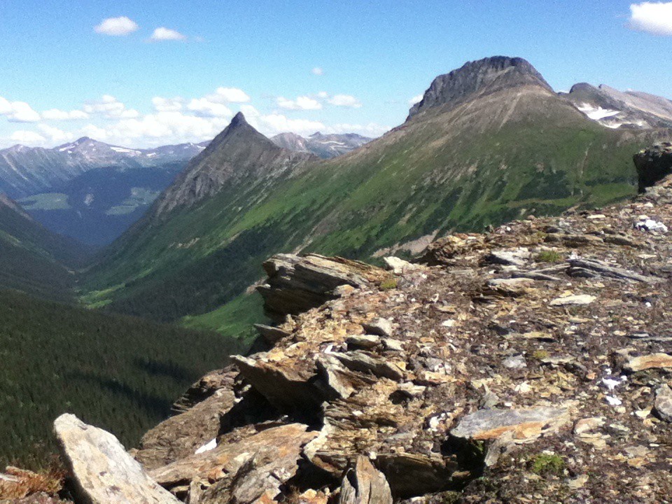 Photo: Jim Swanson · CC BY 2.0Hikes · McBride & Robson Valley
McBride Peak
Alpine walks include McBride Peak and longer ridges toward Teare Mountain. High road access changes hike length.
Moderate / 4 km round trip / 450 m gainRead guide →- Hikes · McBride & Robson Valley
Bluff / Connector / Outrun
A lower-mountain loop above McBride, using shared trails with viewpoints across town and the Cariboo Mountains.
Easy / 5 km loopRead guide → - Hikes · McBride & Robson Valley
Horseshoe Lake
A short McBride outing to an abandoned Fraser River channel, with wetland birdwatching and a gazebo at the lake.
Easy / 2.6 km round tripRead guide → - Hikes · McBride & Robson Valley
Paradise Ridge
Ridge and Mount Munroe are separate objectives; detailed route description absent.
Hard / 16 km round trip / Not established gainRead guide → - Hikes · McBride & Robson Valley
Lucille Mountain
An alpine approach above McBride that passes a snowmobile cabin before continuing to a broad summit with Robson Valley views.
Moderate / 2.7 km · route segmentRead guide → - Waterfalls · McBride & Robson Valley
Beaver / Holmes River Falls
A riverside walk near McBride to a small cascade, with old forest and opportunities to observe migrating salmon in August.
Easy / 2 km round tripRead guide →