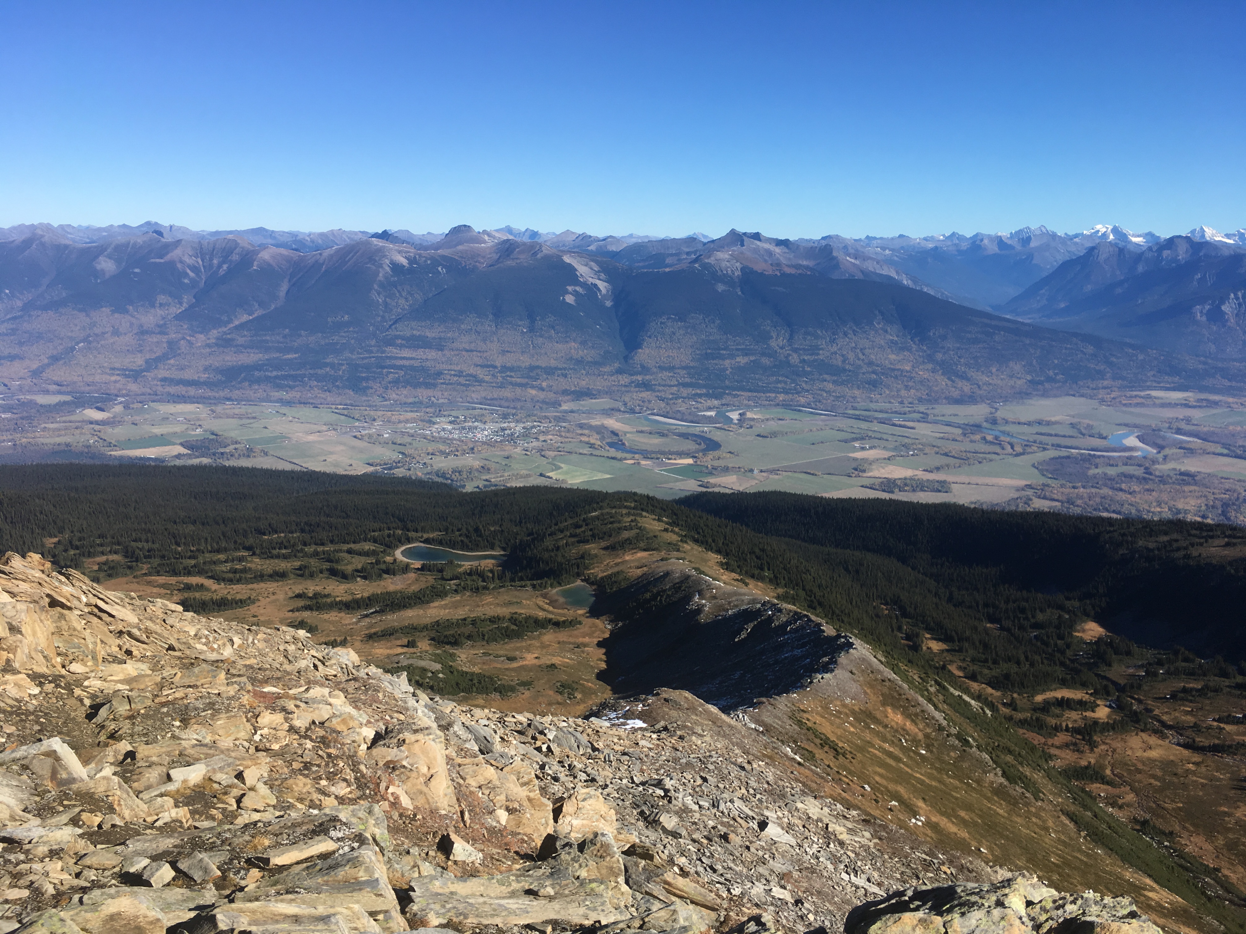
Tête Jaune Cache: The Railway Boomtown Beside Today’s Quiet Fraser River
Tête Jaune Cache once connected railway construction, riverboats and trade. Its quieter landscape also holds the history of Simpcw displacement and return.
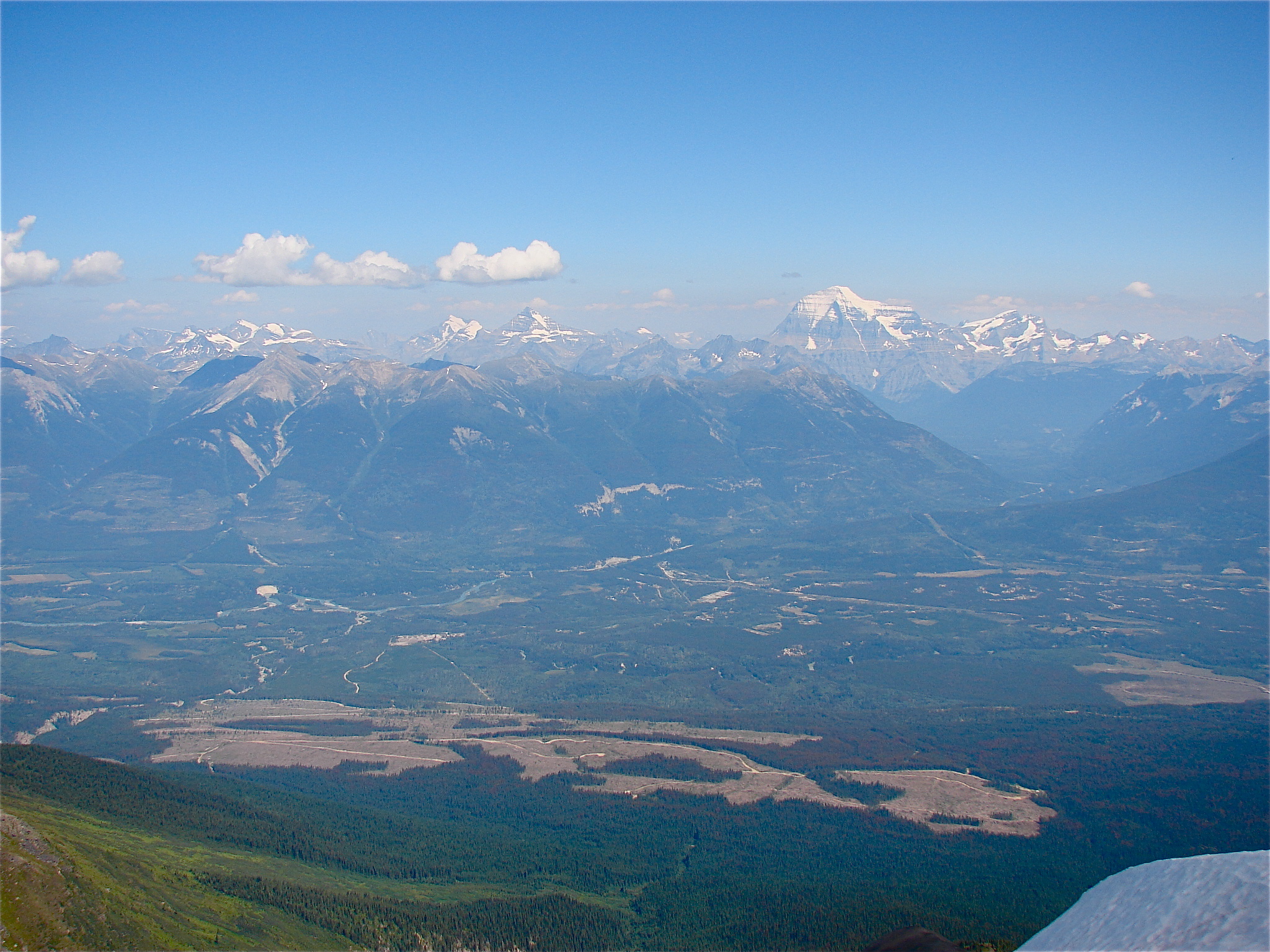
A postcard address in a changing valley
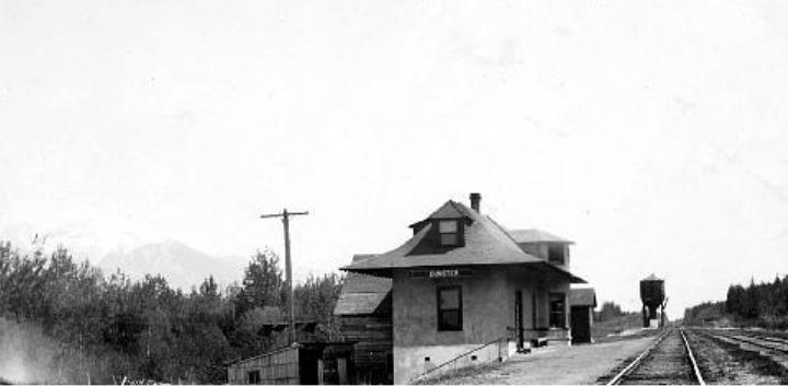
A postcard sent from Indiana in December 1912 was addressed to Tête Jaune Cache, Mile 48, care of Doolan’s Store. Preserved in the Columbia Basin Institute of Regional History’s collections, that small address captures a place being organised around a railway still under construction.
Other records in the same collection show a survey camp, a scow travelling towards Fort George and buildings gathered around a store. These are useful anchors for understanding a landscape that can seem quiet when passed on a modern road trip. The settlement was once a junction between different kinds of movement: rail, river freight and travel through the valley. The postcards and photographs show those systems meeting in a place people were trying to turn into a town.
Sources: 1
The cache and the name
Tête Jaune means yellow head in French. Heritage BC connects the name to Pierre Bostonais, a Métis fur trader and guide known by that nickname. The cache in the place name recalls stored goods, a practical concern in a country where a journey could require supplies to be staged rather than carried all at once.
During Grand Trunk Pacific construction, the settlement developed into a centre for trade, timber and transportation. It served as the upstream navigation point for steamers operated by Foley, Welch and Stewart and the BC Express Company. The railway did not instantly remove the need for boats. While construction advanced, moving supplies to the people building the line could itself sustain a busy river settlement.
Sources: 2
A boom tied to construction
The Village of Valemount’s community history describes Tête Jaune Cache as a major transportation centre between Fort George and Edmonton during the early 1910s. That prominence was tied to a particular moment: railway construction concentrated workers, supplies and business where the work required them.
This helps explain why a construction boomtown can leave a disproportionately large impression in photographs. Its temporary importance need not predict its eventual size. Once through transportation is established, the places where freight must change hands can lose business to the very infrastructure they helped create. At Tête Jaune, the river and mountains remained while the economic reason for a large construction settlement changed. The contrast is more revealing than a simple before-and-after story of prosperity followed by disappearance.
Sources: 3
The people forced to leave
Railway-boom nostalgia leaves out a decisive part of this place’s history. In 1916, the government forced Simpcw people from the Tête Jaune area to Chu Chua. In an account published for the centenary, Simpcw archives coordinator Celia Nord explained that a proposed reserve had been mapped in 1905, then abandoned after opposition from newcomers. Families were left without the promised government-recognised land base.
Nord describes parents and children forced to relocate, further losses during the 1918 influenza epidemic and stories of people returning north despite government pressure. These events belong beside the story of commercial growth. The valley’s transformation created opportunity for some while denying others the right to remain at home.
Sources: 4
A continuing Simpcw landscape
Simpcw identifies itself as one of the Secwépemc Nation’s 17 campfires and describes a territory extending through the North Thompson and far into the surrounding mountain country. Its account emphasises ongoing responsibilities to land, wildlife and people, alongside language and cultural work within the community.
Removal did not end that relationship. In July 2016, Simpcw announced a symbolic return to Tête Jaune Cache for the following month, inviting people to commemorate their ancestors’ forced journey a century earlier. The announcement placed the families and their descendants at the centre of the anniversary.
Return to the river with a fuller picture
The Valemount Museum and the Valley Museum and Archives in McBride are places to continue exploring the valley’s history. Use public visitor facilities and established paths around Tête Jaune, respecting private land and active railway property.
Jackman Flats offers a nearby walk through the valley’s sandy landforms and vegetation. For a more demanding mountain outing, Northward’s Mica Mine and ridge guide is another starting point for planning.
The old postcard gives a precise address: Mile 48, care of Doolan’s Store. The histories of Simpcw families give the place a much longer memory. Beside today’s river, both belong in view: the settlement that railway construction briefly enlarged, and the people whose relationship with this valley continued despite forced displacement.
Explore the places in this story
Jackman Flats Lichen Loop
A separate signed outdoor walk in the wider valley.
Mica Mine and ridge
Research this more demanding outing separately; no invitation to enter mine workings.
Sources and further reading
- Tête Jaune Cache collection records (opens original source)Columbia Basin Institute of Regional History · Checked
- Tête Jaune Cache (opens original source)Heritage BC · Checked
- Valemount Integrated Community Sustainability Plan: history (opens original source)Village of Valemount · Checked
- Remembering the Simpcw relocation of 1916 (opens original source)The Rocky Mountain Goat, reporting Simpcw archives coordinator Celia Nord · Checked
- About Us (opens original source)Simpcw First Nation · Checked
- Valemount and Area Museum (opens original source)Valemount and Area Museum · Checked
- Valley Museum and Archives (opens original source)Valley Museum and Archives · Checked