Tumbler Ridge / Monkman
Kinuseo Falls campground
Closure notice recorded · check guideKinuseo Falls Road, 60 km south of Tumbler Ridge; allow for rough road.
Camping destination
A LOCAL FIELD GUIDE
Find a walk close to home, a waterfall, or a day in the mountains.
Tumbler Ridge / Monkman
Kinuseo Falls Road, 60 km south of Tumbler Ridge; allow for rough road.
Tumbler Ridge / Monkman / Peace Rockies
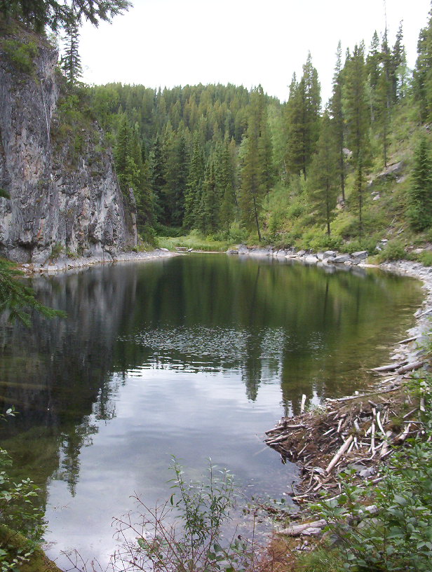
A lake-and-waterfall circuit with short steep sections; a shorter fork reaches the top of Canary Falls.
Tumbler Ridge / Monkman / Peace Rockies
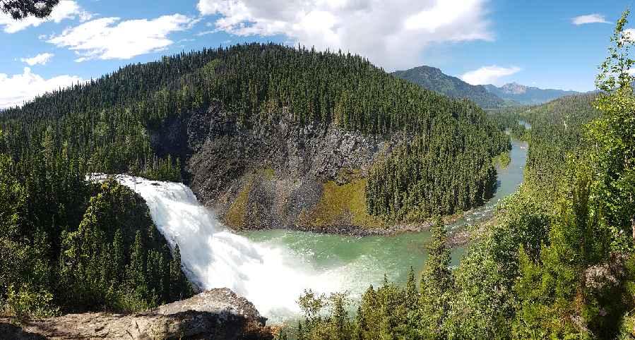
Interpretive circuit through limestone features, ponds and cliffs; caves and springs are linked points of interest rather than independent hikes.
Tumbler Ridge / Monkman / Peace Rockies
Several walks reach viewpoints of Kinuseo Falls. BC Parks confirms the main viewing platform is closed for the 2026 season; the upper viewpoints…
Tumbler Ridge / Monkman / Peace Rockies
Forest and meadow approach reaches the alpine lake. A higher return loop and mountain extensions require stronger navigation skills.
Tumbler Ridge / Monkman / Peace Rockies
Mostly level forest approach to a canyon-side waterfall viewpoint, with a short side branch to a smaller fall.
Wapiti Lake / Peace Rockies
A waterfall viewpoint reached by a short side path after a substantial walk along the remote Wapiti River trail.
Tumbler Ridge / Monkman / Peace Rockies
Remote backpacking trail along the Wapiti River and lakes. Motorized off-road vehicles are prohibited in the park.
Tumbler Ridge / Monkman / Peace Rockies
Short waterfall approach requires crossing Bullmoose Creek; high water can make the route impassable.
Tumbler Ridge / Monkman / Peace Rockies
Logging-road approach climbs into alpine terrain beneath Wapitik Mountain. Established tent pads, food storage and toilet are described.