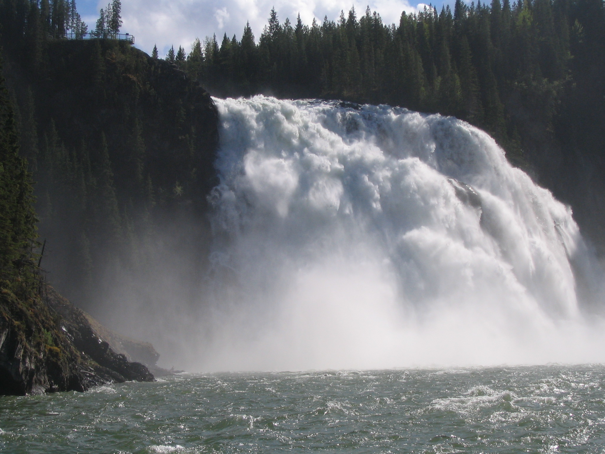
Kinuseo Falls Road, 60 km south of Tumbler Ridge; allow for rough road.
Sources reviewed . This is a research date, not a trail inspection.
Check access before you leave
Kinuseo platform closed for 2026
BC Parks confirms that structural problems keep the falls viewing platform closed for the 2026 season; the notice was updated February 3, 2026. The route to upper viewpoints remains open in that notice, but is challenging and has steep drop-offs. This does not close the whole falls area.
The locations GPX contains sourced points with their recorded roles. It contains no trail track or connecting route.
Site map
Opening the map…
A reusable trail line has not yet been verified for this outing. Any location pin shows the published location described above; it does not draw the hike or establish a navigable approach.
Getting there & parking
From Tumbler Ridge, drive south on Highway 52 for about 12.8 km and turn right onto Kinuseo Road.
Follow the signed gravel approach to Monkman Park and the campground. Allow extra time for washboard and potholes.
Full access notes
From Tumbler Ridge, travel south on Highway 52 for approximately 13–14 km and turn right onto Kinuseo Falls Road. Continue on the signed park approach, keeping left at the junction after the first Murray River crossing. The gravel road is prone to washboard and potholes; allow slow travel and follow industrial-road signs. For the backcountry trail, park in the day-use area at Kinuseo Falls campground, around road kilometre 50. The signed one-kilometre spur to the falls parking is a different destination.
Map position: 54.76444, -121.20391 · campground. Official BC Parks GPS download contains a named Point placemark: Monkman RV Campground. This is the campground destination, south of the separate falls parking lot.
At the campsite
A separate path connects the campground with Kinuseo Falls; BC Parks describes it as 3 km. The short waterfall walks have their own access and condition notices.
The main Monkman Lake trail begins at the back of the campground for longer backcountry trips.
Full route notes
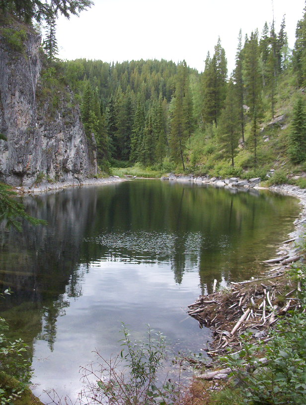
Use the campground as the vehicle-accessible base for the northern end of Monkman Park. The official page describes a roughly 3 km trail between the main campground and Kinuseo Falls, plus a shorter beaver-pond circuit. The long Monkman Lake route starts from the back of the campground and should be planned as a separate backpack. A visit to a closed falls platform is not made permissible by staying in the campground; check the individual viewpoint advisory.
Terrain: rough route.
Conditions & seasons
Mountain weather is changeable even in summer, with cool rain and wind common. BC Parks says the access road is maintained only to kilometre 21 in winter, so the summer road-end start is not a normal winter driving destination. Water must be treated, and overnight parties need a stove and a complete backcountry plan.
These are dated research notes. Open the trip planner for current available weather and advisory feeds; no alert found does not establish that a trail or road is open.
BC Parks lists 42 sites at the Kinuseo Falls campground. Confirm the operating season, payment or booking arrangements and water availability before arrival. The park has a boil-water advisory; treat water. Firewood is not sold in the park, and collecting wood from the forest is prohibited. Bring locally sourced wood only if current fire rules permit its use.
Photos of Kinuseo Falls campground
A photograph with confirmed reuse permission has not yet been added to this guide.
Surrounding area and context
These photographs provide context; they do not establish the appearance of this selected route or facility.
Descriptions are written for this guide from the linked evidence. Source review dates, published reports and field observations can differ. Photographs and route lines retain their own attribution and reuse terms.