Mapped portion · walking direction unconfirmed · 1.98 km
This chart covers only part of the route. It does not establish the full hike or a return journey.
Coverage and elevation sources
1.98 km along source section 1 of 1, in its mapped direction. Approximate 90 m terrain model along this mapped section. Separate sections are not joined. This chart does not measure total trail ascent or establish current access; use the guide’s published outing measurements.
Mapped trail network. The mapped Stone Corral sections include a branching network. A download retains those branches rather than choosing one complete circuit. Line source (opens original source).
Take Highway 52E from Tumbler Ridge for 14 km, then turn right onto Kinuseo Falls Road.
At road km 9 beyond the Murray River crossing, keep left. Continue to the parking area at road km 48.
Parking: Shared parking with Lake Joan/Canary Falls is at Kinuseo Falls Road km 48, just inside Monkman Park. Stone Corral and Lake Joan leave on different sides of the road.
Full access notes
Follow the Kinuseo Falls road approach from Tumbler Ridge, keeping left after the Murray River crossing near road kilometre 9. The shared Stone Corral/Lake Joan parking is on the left near kilometre 48, shortly after entering Monkman Park, about 62 km from town. Stone Corral and the Lake Joan/Canary Falls route start on opposite sides of the road.
Map position: 54.77069, -121.17211 · parking. The WNMS Directions to Trailhead link marks the shared Stone Corral parking lot with explicit place coordinates.
On the trail
Follow the Stone Corral interpretive route in the order of its numbered stops, counterclockwise around the loop.
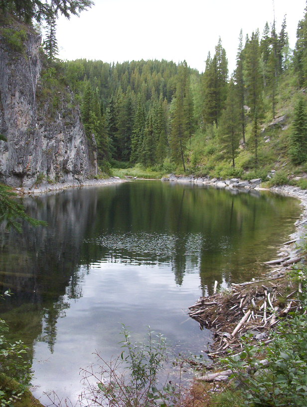
The route passes Monkeyflower Creek, climbs through a notch in Chambers Ridge, and visits the ponds and Stone Corral.
Continue on the marked loop over Chambers Ridge and past the viewpoints. Keep to the signed trail near the unguarded cliffs.
After stop 20, descend to the main path near the first pond and turn right.
Full route notes
Follow the numbered interpretive stops counterclockwise. The route passes beaver-dammed water and Monkeyflower Creek, climbs through a limestone notch, and winds beside two ponds toward the enclosed Stone Corral basin. From the basin it climbs steps to Chambers Ridge and exposed viewpoints above the cliffs, then continues past cave and sinkhole features. Near the final numbered stop, descend back to the main path before the first pond and turn right toward the trailhead; keep right again at the bridge near the bottom of Monkeyflower Creek. The approximately 3 km circuit has substantial climbing and unguarded cliff edges. A headlamp is needed to look into caves, and entering them requires the park’s current bat-protection and safety guidance; they are optional side features, not necessary to complete the walking loop.
The way back
At the bridge near the bottom of Monkeyflower Creek, keep right to return by the approach trail. The Lake Joan route across the road is a separate outing.
Terrain: exposure · rough route.
Conditions & seasons
Wet limestone and steps can be slippery, and spring ice may persist around cave entrances. This is a moderately strenuous interpretive circuit rather than a level nature boardwalk. Snow can hide both tread and cliff edges.
Caving equipment hygiene
BC Parks retains a bat-protection notice for caves. Consult its decontamination guidance before entering; equipment previously used east of the Rockies should not be brought into B.C. caves. The advisory is longstanding, not a new 2026 observation.
These are dated research notes. Open the trip planner for current available weather and advisory feeds; no alert found does not establish that a trail or road is open.
Descriptions are written for this guide from the linked evidence. Source review dates, published reports and field observations can differ. Photographs and route lines retain their own attribution and reuse terms.