Not establishedCumulative ascent for this outing has not been established.
Walking time
Not published
Difficulty
Moderate
Map & elevation
Opening the map…
Partial elevation profile
Mapped portion · walking direction unconfirmed · 0.39 km
This chart covers only part of the route. It does not establish the full hike or a return journey.
Coverage and elevation sources
0.39 km along source section 1 of 1, in its mapped direction. Approximate 90 m terrain model along this mapped section. Separate sections are not joined. This chart does not measure total trail ascent or establish current access; use the guide’s published outing measurements.
Mapped named trail. Only the named final walking section is shown; the approach track and current crossing are not established by this short line. Line source (opens original source).
Getting there & parking
Drive north from Tumbler Ridge toward Chetwynd on Highway 29 for approximately 25 km, then turn onto the former Bullmoose Mine Road. Continue about 19 km to the end of pavement and a further kilometre on gravel. Look for the trail sign on the right before the crest of the hill and park clear of road traffic.
Map position: 55.12942, -121.50501 · trailhead. WNMS publishes this exact coordinate pair in its Directions to Trailhead link.
On the trail
Descend the flagged grassy slope and cross the flats to Bullmoose Creek.
Stop if the unbridged crossing is unsafe. Beyond a safe crossing, follow the flagged forest path upstream on the left side of the creek to the lower viewpoint.
Full route notes
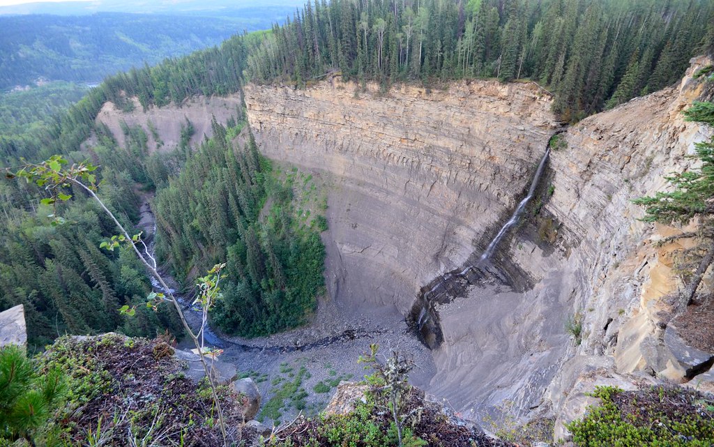
Follow the flagged descent from the road down the grassy slope and across the flats to Bullmoose Creek. The route crosses the creek without a bridge; if the current or depth is unsafe, the hike ends here. Once across, follow the flagged forest path up the left side of the creek to the shore viewpoint beneath the falls, then return by the same crossing. The short overall length hides the main difficulty: a cold, moving-water ford and slippery rocks near the waterfall. Do not use seasonal depth estimates as permission to cross on the day.
The way back
Retrace the path and cross the creek again. A short distance does not make the moving-water crossing easy.
Terrain: exposure · creek crossings.
Conditions & seasons
The creek at the crossing does not reliably freeze even in winter. Snowshoe visits face falling ice near the frozen falls and avalanche exposure in the bowl. Summer high water can also make the ford impassable.
Winter route
The steward warns that the crossing stays unfrozen, falling ice is possible below the falls, and the bowl is exposed to avalanches. This is not an ordinary low-risk winter walk.
These are dated research notes. Open the trip planner for current available weather and advisory feeds; no alert found does not establish that a trail or road is open.
On-route camping permission has not been established for this outing. Check the relevant land manager before planning an overnight stay; a mapped lake, cabin or previous tent location does not confirm permission.
Photos of Bullmoose Falls
A photograph with confirmed reuse permission has not yet been added to this guide.
Original photo galleries
These galleries stay on their photographers’ original websites.
Descriptions are written for this guide from the linked evidence. Source review dates, published reports and field observations can differ. Photographs and route lines retain their own attribution and reuse terms.