Tabor Mountain
Tabor Mountain
A large recreation network east of Prince George offers forest loops, ski trails and several shelters. A named loop and its entrance are the…
1-16 km (varies by trails taken)Varies by trails taken
A LOCAL FIELD GUIDE
Find a walk close to home, a waterfall, or a day in the mountains.
Tabor Mountain
A large recreation network east of Prince George offers forest loops, ski trails and several shelters. A named loop and its entrance are the…
Tabor Mountain
A forest loop on the north side of Tabor Mountain links named shelters and the Hickory Wing trail. Junction maps allow longer outings, so the…
Highway 16 East
A short interpretive outing off Highway 16 east of Prince George. The published entry identifies access and basic trip figures, but its detailed…
East of Prince George
A small riverside tenting stop close to Highway 16, reached by a short forest-road spur beside the Willow River.
Near Prince George
Creek, marsh and Eaglet Lake paths for wildlife watching.
Highway 16 East
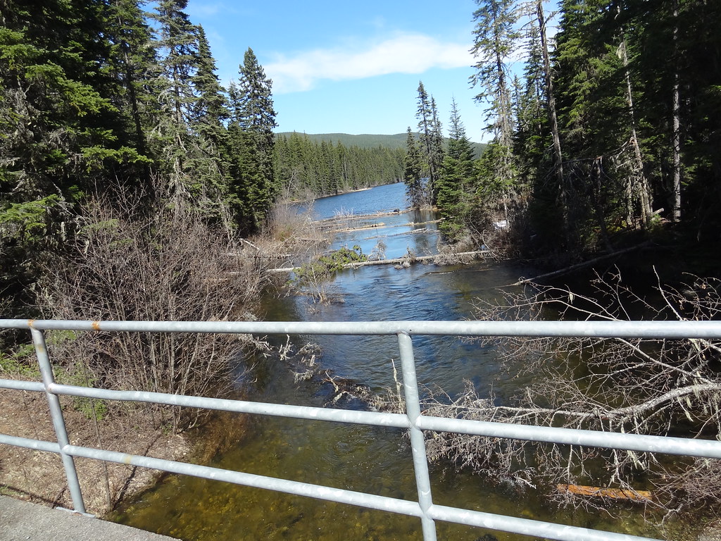
North-shore trail follows lake edge with roots and boardwalks; camping is available in the park subject to operator rules.
East of Prince George
Highway 16, approximately 64 km east of Prince George.
Upper Fraser & east
A small tent-friendly lake campground on the Upper Fraser forest-road network, with a swimming beach and dock.
East / Sugarbowl-Grizzly Den
A steep forest climb reaches Sugarbowl’s open subalpine ridge, with a shorter turnaround than the summit outing. The upper ridge needs careful…