Willow River Interpretive Trail
A short interpretive outing off Highway 16 east of Prince George. The published entry identifies access and basic trip figures, but its detailed walking description remains unfinished.
Sources reviewed . This is a research date, not a trail inspection.
The locations GPX contains sourced points with their recorded roles. It contains no trail track or connecting route.
- Distance
- 2 kmTrip basis unconfirmed
- Elevation gain
- Not establishedThe source lists 50 m, but its relationship to a complete selected outing is not established.
- Walking time
- 2 - 3 hours
- Difficulty
- ModerateThere and Back
Map & elevation
Elevation profile
A full-route elevation profile is not available yet.
A reusable trail line has not yet been verified for this outing. Any location pin shows the published location described above; it does not draw the hike or establish a navigable approach.
Getting there & parking
Follow Highway 16 east from Prince George for approximately 32 km and look for the left-hand turn signed for the Willow River Interpretive Trail. The source identifies the turn but gives no road name, parking layout or approach beyond it. Confirm the signed public entrance before leaving the highway; the nearby community or river location is not a substitute for the trail entrance.
published highway access point. Source-published approximate distance from Prince George; not a current routed travel time.
32 km from town in the source description. published highway access point. Source-published approximate distance from Prince George; not a current routed travel time.
Map position: 53.88739, -122.28303 · mapped trail information-board location. OSMnode4336101736 names WillowRiverInterpretiveTrail and classifies its information sign. Interpretive sign location near Highway16 rest area, not a surveyed parking or entire trail geometry.
On the trail
The source describes an out-and-back outing of about 2 km with 50 m of gain and a two-to-three-hour allowance. It does not explain the path’s junctions, named interpretive stops or final turnaround, and the main description is still a placeholder. Use the current entrance map and signs to establish the actual walk before proceeding. This guide cannot yet turn those headline numbers into a verified sequence of turns. An undated general condition statement is not evidence of current bridge, riverbank or fallen-tree conditions.
Distance and elevation source notes
2 km
50 m
Conditions & seasons
Season-specific access has not been established in this guide. Read the dated notices and original land-manager information before choosing a departure date.
These are dated research notes. Open the trip planner for current available weather and advisory feeds; no alert found does not establish that a trail or road is open.
Camping & overnight plans
On-route camping permission has not been established for this outing. Check the relevant land manager before planning an overnight stay; a mapped lake, cabin or previous tent location does not confirm permission.
Photos of Willow River Interpretive Trail
A photograph with confirmed reuse permission has not yet been added to this guide.
Original photo galleries
These galleries stay on their photographers’ original websites.
- Willow River Interpretive Trail — illustrated local feature (opens original source) · Caden Fanshaw / CKPG Today
Take this guide with you
Choose a trip pack or an available individual sheet for your map case.
Sources, dates & research notes
Descriptions are written for this guide from the linked evidence. Source review dates, published reports and field observations can differ. Photographs and route lines retain their own attribution and reuse terms.
- https://caledoniaramblers.ca/trails/willow-river-interpretive-trail (opens original source)
- https://mapcarta.com/N4336101736 (opens original source)
Details still being researched
- Exact turnaround, detailed path sequence, current access restrictions and the listed distance’s return scope need confirmation.
Nearby and related guides
- Camping · Upper Fraser & Sugarbowl
Willow North recreation site
A small riverside tenting stop close to Highway 16, reached by a short forest-road spur beside the Willow River.
Camping destination · access & overnight informationRead guide → - Hikes · Upper Fraser & Sugarbowl
Birchleg Trail
A forest loop on the north side of Tabor Mountain links named shelters and the Hickory Wing trail. Junction maps allow longer outings, so the published 10 km loop should be kept…
Moderate / 10 km loopRead guide → - Hikes · Upper Fraser & Sugarbowl
Tabor Mountain
A large recreation network east of Prince George offers forest loops, ski trails and several shelters. A named loop and its entrance are the useful planning unit; the mountain…
Moderate / 1-16 km (varies by trails taken)Read guide → 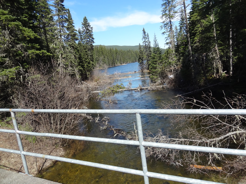 Photo: Andrew Kurjata · CC BY-NC-SA 2.0 · Noncommercial onlyWalks · Upper Fraser & Sugarbowl
Purden Lake lakeside trails
Shoreline walking paths.
EasyRead guide →- Walks · Upper Fraser & Sugarbowl
Harold Mann Regional Park
Creek, marsh and Eaglet Lake paths for wildlife watching.
Read the access and route notesRead guide → - Photo: Andrew Kurjata · CC BY-NC-SA 2.0 · Noncommercial onlyHikes · Upper Fraser & Sugarbowl
Purden Lake
North-shore trail follows lake edge with roots and boardwalks; camping is available in the park subject to operator rules.
Easy / 12.2 km round tripRead guide →