A LOCAL FIELD GUIDE

Hiking around Prince George

Find a walk close to home, a waterfall, or a day in the mountains.

Places to go

31 to 40 of 49 places · 48 on the map

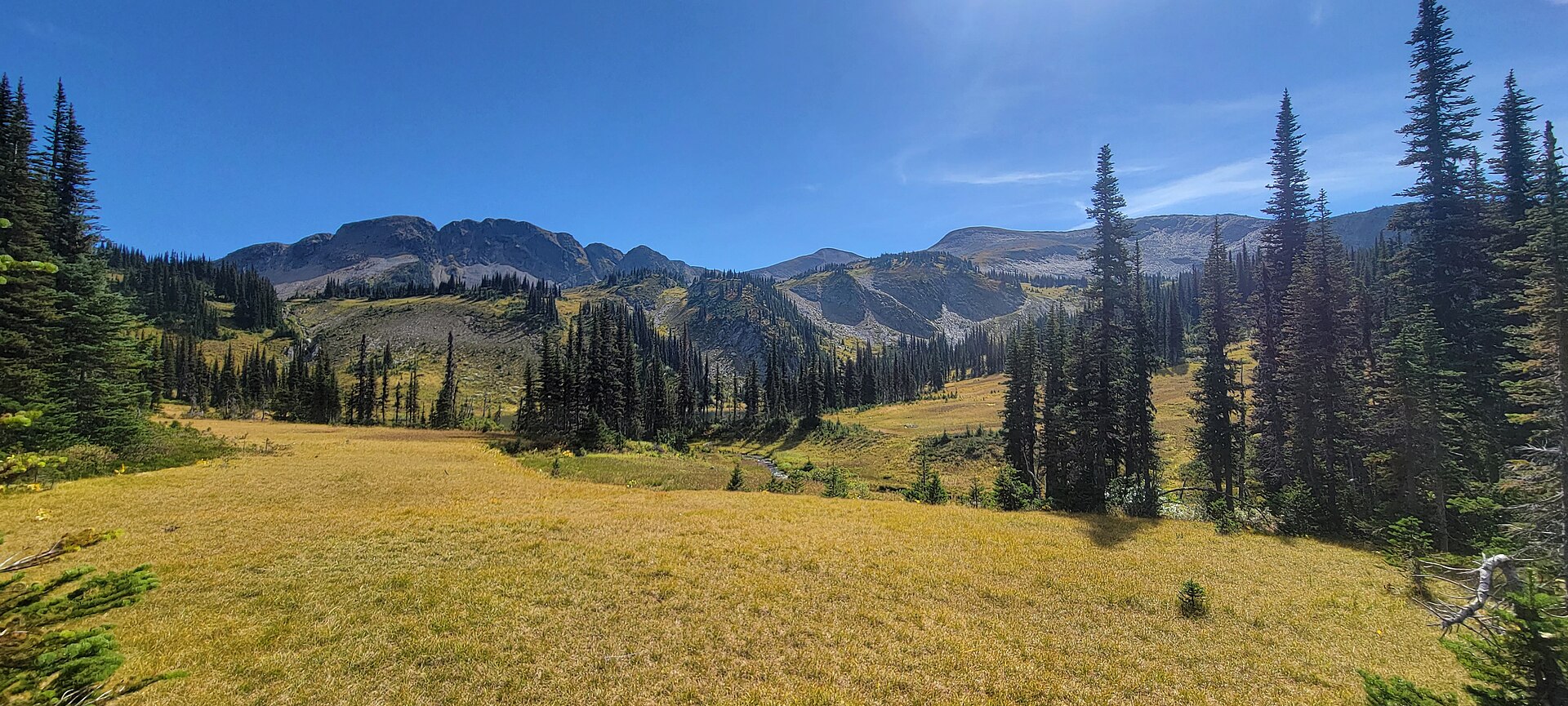
Subalpine meadow on the Fang trail in Evanoff Provincial Park
Photo creditEvanoffPark3.jpg · Azubryan · CC BY-SA 4.0 · Photographed Sep 2, 2023 · Provider resized the original for this download; no local edits. Display may crop the view. Adaptations retain the image licence.

East / Evanoff

Fang Trail

Closure notice recorded · check guide

Alpine-lake approach; ridge fork accesses cave area.

6 km reported
East / Ancient Forest

Driscoll Ridge

Ridge loop south of park.

About 1 hr 25 min from PG15.5 km loop

Highway 16 East

West Driscoll Ridge

West and East Driscoll approaches join on ridge; summit return and crossover need separate distances.

About 1 hr 25 min from PG15 km round trip1,065 m gain6 - 8 hoursto summit

Penny / Upper Fraser

Red Mountain Cabin

Forest climb to renovated cabin; metrics depend strongly on starting point.

25 km round trip900 m gain~3 to 6 hoursto cabin depending on pace, trail conditions and where you start from.

McGregor / Pass Lake

Torpy Mountain

Trail reaches meadow, lakeside camping area and higher ridges; listed distances conflict and need reconciliation.

11.4 km4 to 6 hours
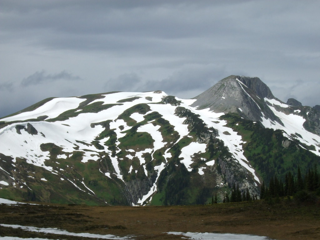
Alpine ridges and lingering snow on a Torpy Mountain outing
Photo creditDSCF0591 · Outlander 650 · CC BY-NC 2.0 · Photographed Jul 12, 2008 · Source display image downloaded without local content edits. Display may crop; adaptations retain the stated image licence. · Noncommercial only; obtain a commercial licence or replace before commercial use.

East / Evanoff

Torpy Mountain extension

Continues beyond park to Torpy Mountain.

12.4 km round trip1,019 m gain

Highway 16 East

East Driscoll Trail

Climb from cedar forest into open ridge glades on the east side of Driscoll Mountain. Choose a ridge or summit turnaround in advance; the rough…

About 1 hr 33 min from PG19 km round trip6 - 8 hoursto summit
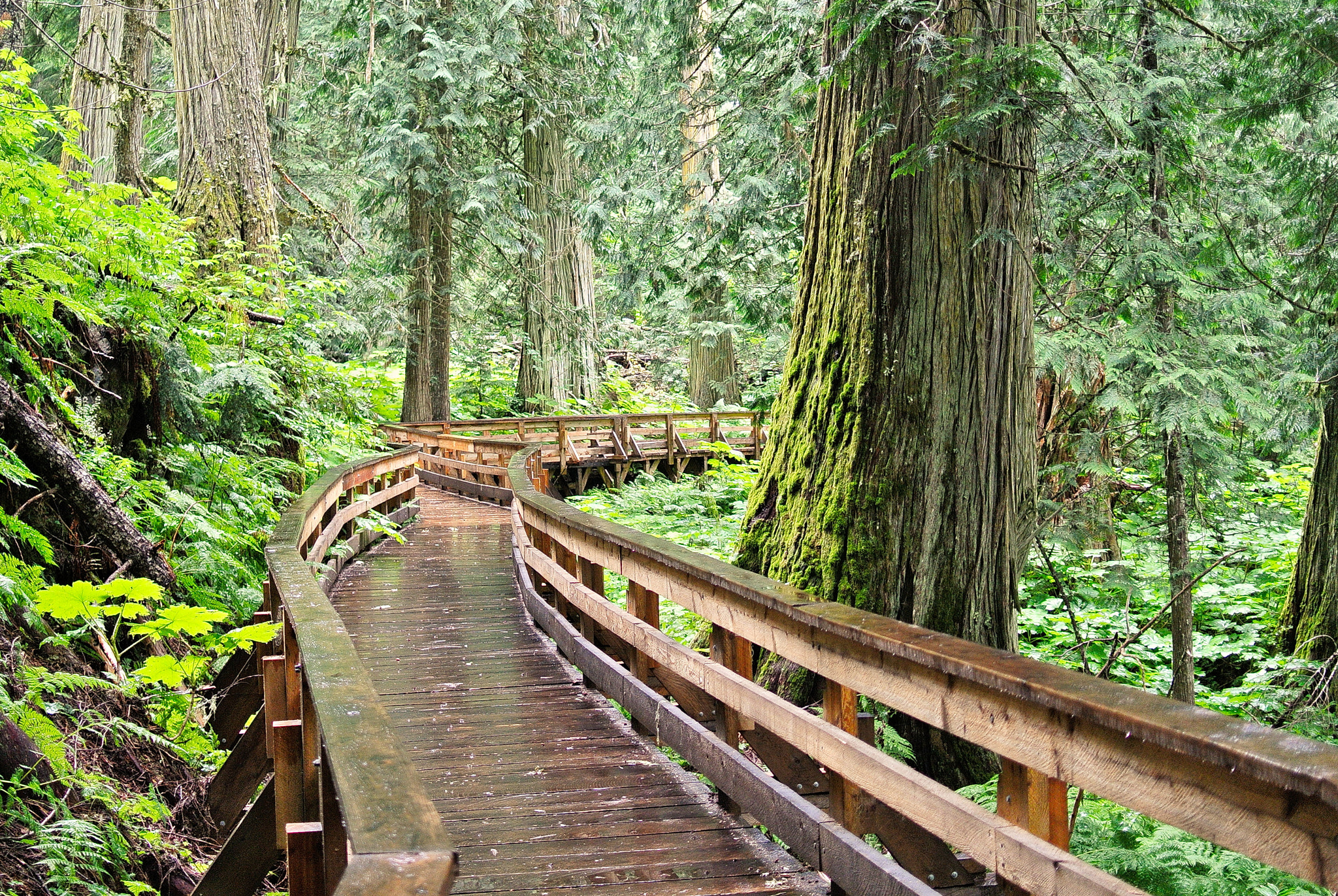
Wooden boardwalk descending through the Ancient Forest
Photo creditAncient forest, Rocky Mountains region east of Prince George, BC (1).jpg · Kevin M Klerks from Kincardine, Canada · CC BY 2.0 · Photographed Sep 16, 2013 · Original image downloaded without editing; display may crop the view.

Highway 16 East

Ancient Forest

Cedar-forest paths include a waterfall and an accessible boardwalk; the accessible section needs separate length and grade data.

About 2.4 km reported1 - 3 hours
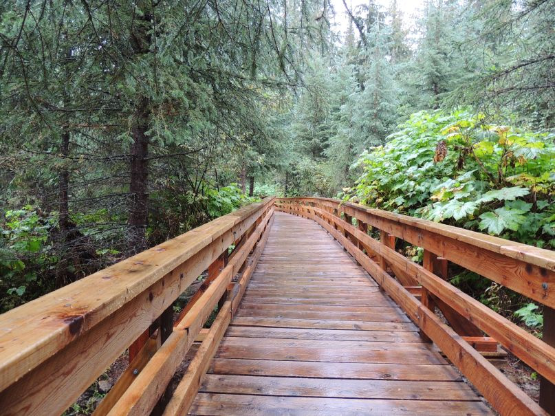
Boardwalk in Ancient Forest / Chun T’oh Whudujut Provincial Park
Photo creditBoardwalk Through Ancient Forest (246124627).jpeg · Gord Schindell · CC BY 3.0 · Photographed Jul 13, 2015 · Existing local file displayed without additional edits in this revision; page layout may crop the image to fit.

East / Ancient Forest

Ancient Forest Boardwalk Trail

Forest boardwalk reaches large trees and waterfall.

2.3 km reported