Torpy Mountain
Trail reaches meadow, lakeside camping area and higher ridges; listed distances conflict and need reconciliation.
Sources reviewed . This is a research date, not a trail inspection.
The locations GPX contains sourced points with their recorded roles. It contains no trail track or connecting route.
- Distance
- 11.4 kmTrip basis unconfirmed
- Elevation gain
- Not established940 m reported without a clearly matched endpoint
- Walking time
- 4 to 6 hours
- Difficulty
- HardThere and Back
Map & elevation
Elevation profile
A full-route elevation profile is not available yet.
A reusable trail line has not yet been verified for this outing. Any location pin shows the published location described above; it does not draw the hike or establish a navigable approach.
Getting there & parking
Access is via the Upper Fraser and Pass Lake forest-road systems, with rough road sections and historical deactivation. Use a current route map and confirm the chosen lower or high-road start before comparing distances.
Map position: 54.02238, -121.25464 · start point of published trip track (parking unverified). Embedded trip-map feature 'TorpyMt Track 7/11/24 12:25:11 PM': first recorded coordinate [-121.254639, 54.02238]. Point extracted from the original public trip map. A track start is evidence of where recording began, not certification of parking, legal access, road suitability or the complete route.
On the trail
This older Torpy approach includes road walking introduced after deactivation and a 2010 reroute. It climbs toward subalpine meadow around 1,500 m, continues to a small lake and offers further ridge exploration. The source gives separate distances to the meadows, lake campsite and ridge, but its headline total does not clearly match all those stages. Choose the actual road start and turnaround before using the number as a day plan. The short 1.5 km BC Parks Torpy trail begins much higher, while the modern Torpy Mountain summit report starts farther east on Upper Torpy Road; neither should silently replace this older route’s access or metrics.
Terrain: alpine.
Distance and elevation source notes
11.4 km
940 m
Torpy Mountain older approach: 6.5 km to the meadows, 8.5 km to the lake campsite and another 1.4 km toward the ridge. The separate 11.4 km headline has an unclear endpoint and return basis. These values conflict and do not describe the distinct 1.5 km high-road Torpy trail segment.
Conditions & seasons
The forest-road state determines how much approach walking is needed. Snow, meltwater and poor visibility affect the alpine continuation, and the separate Fang trail may be closed even when the Torpy basin approach is accessible.
These are dated research notes. Open the trip planner for current available weather and advisory feeds; no alert found does not establish that a trail or road is open.
Camping & overnight plans
A campsite has been described beside the small lake. Maintained facilities, current conditions and camping permission terms are unconfirmed.
Photos of Torpy Mountain
A photograph with confirmed reuse permission has not yet been added to this guide.
Original photo galleries
These galleries stay on their photographers’ original websites.
- Torpy Mountain August 11, 2024 (opens original source) · Caledonia Ramblers
- Torpy Mountain August 20, 2023 (opens original source) · Caledonia Ramblers
- Torpy Mountain August 16, 2020 (opens original source) · Caledonia Ramblers
- Torpy Mountain Summit in Northern BC — photographs and trip report (opens original source) · Hiking Prince George
- Torpy Trail to Fang Mt crossover Hike in Evanoff Provincial Park — photographs and trip report (opens original source) · Hiking Prince George
Take this guide with you
Choose a trip pack or an available individual sheet for your map case.
Sources, dates & research notes
Descriptions are written for this guide from the linked evidence. Source review dates, published reports and field observations can differ. Photographs and route lines retain their own attribution and reuse terms.
- https://caledoniaramblers.ca/trails/torpy-mountain (opens original source)
- https://hiking.princegeorge.tech/torpy-mountain-summit-in-northern-bc/ (opens original source)
- https://bcparks.ca/evanoff-park/ (opens original source)
- https://hiking.princegeorge.tech/torpy-mountain-in-evanoff-provincial-park/ (opens original source)
- https://hiking.princegeorge.tech/torpy-trail-to-fang-mt-crossover-hike-in-evanoff-provincial-park/ (opens original source)
Details still being researched
- A current, paired start/end distance and elevation gain is needed; do not use the short BC Parks segment with the longer Ramblers gain.
Nearby and related guides
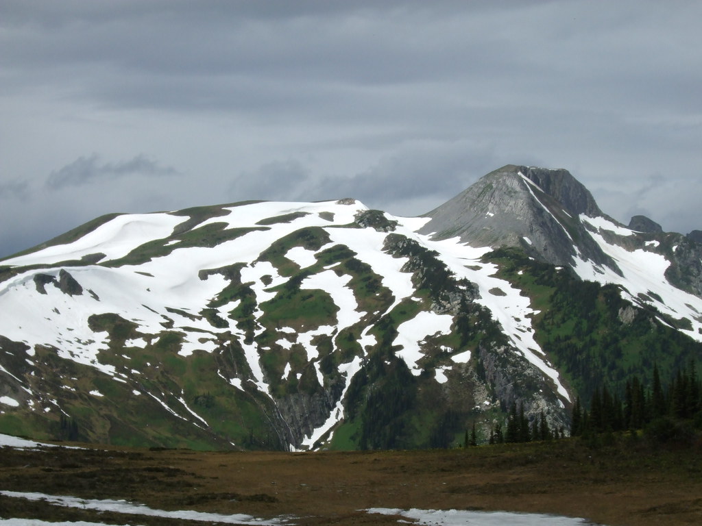 Photo: Outlander 650 · CC BY-NC 2.0 · Noncommercial only; obtain a commercial licence or replace before commercial use.Hikes · Upper Fraser & Sugarbowl
Torpy Mountain extension
Continues beyond park to Torpy Mountain.
12.4 km round trip / 1,019 m gainRead guide →- Hikes · Upper Fraser & Sugarbowl
Torpy Trail
Short alpine-lake trail.
1.5 km · route segmentRead guide → - Waterfalls · Upper Fraser & Sugarbowl
Kittil Falls
Waterfall reached by a short path from Kittil Falls Recreation Site.
0.4 km round trip / Approx. 50 m gain · terrain estimateRead guide → - Camping · Upper Fraser & Sugarbowl
Kittil Falls recreation site
Upper Fraser Road to McGregor FSR; at km 46.5 take Sande FSR, then approximately 9 km.
Camping destination · access & overnight informationRead guide → - Waterfalls · Upper Fraser & Sugarbowl
Twin Falls near Close-to-the-Edge
A remote waterfall outing near Close-to-the-Edge Park, distinct from the park’s technical cave system.
Read the access and route notesRead guide → - Camping · Upper Fraser & Sugarbowl
Pass Lake recreation site
A very small gravel-shore campground at the north end of Pass Lake, near the McGregor and Torpy mountain approaches.
Camping destination · access & overnight informationRead guide →